All Activity
- Past hour
-
I saw a snowflake walking out of the liquor store. Top 5 February event
-
When do you think the ice caps will be melted? [emoji[emoji638][emoji639][emoji[emoji6[emoji640][emoji638]][emoji640][emoji640]][emoji[emoji6[emoji640][emoji638]][emoji640][emoji6[emoji640][emoji637]]]][emoji[emoji638][emoji639][emoji[emoji6[emoji640][emoji638]][emoji640][emoji640]][emoji[emoji6[emoji640][emoji638]][emoji640][emoji640]]] years .
-

Is we back? February discussion thread
Baroclinic Zone replied to mahk_webstah's topic in New England
51 -
45/30 even with overcast
-
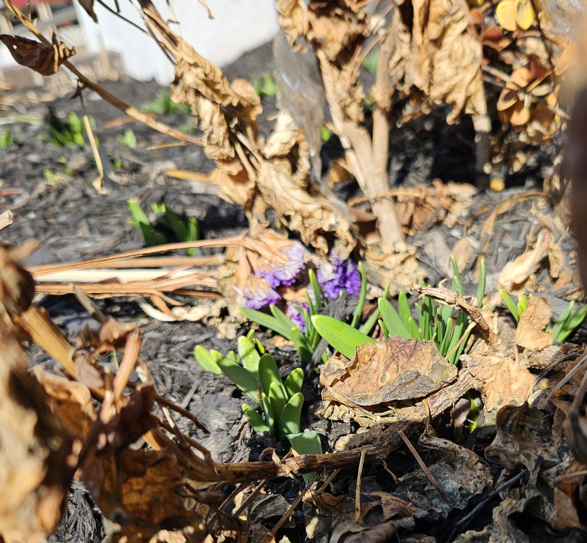
Just beautiful out there. This is long overdue.
-
I am going to the Lourdes Shrine in Litchfield to light a candle for this.
-
 March DCA _ NYC _ BOS _ ORD _ ATL _ IAH _ DEN _ PHX _ SEA 5.0 4.1 3.8 5.0 5.0 5.0 3.3 2.7 0.3
 -
Is we back? February discussion thread
Baroclinic Zone replied to mahk_webstah's topic in New England
Can go out without a coat in this weather. Gorgeous outside -
Every couple of runs the GFS tosses out a big snow event for the mid-state.
-
what a day. hoping for plenty of sunny, mild days to warm those SST's up
-
60 degrees in Germantown

-
Starting to look like southern ct may see the most qpf on this one, instead of 2-3.5” like Wednesday this should be more like 1-2.5”.. One more shot of snow Tuesday PM, then the big melt starts Wednesday / Thursday .
-

Central PA Winter 25/26 Discussion and Obs
canderson replied to MAG5035's topic in Upstate New York/Pennsylvania
59 at 1 pm. Might hit mid 70s late next weekend/next Monday. -
I like his map and the numbers on it. You’ll always have some variation in this type of storm, as long as the outliers are gone it’s perfectly fine and within margin of error. His map looks good.
-
Sun angle has nothing to do with cold with a cold pattern in place. Your predictions this winter have been outrageous .
-
I've been pushing more of a 'melt and mud' season for the time being. There's a higher ceiling than that. However, in deference to the fact that every month since last October has successfully target this region of the continent for disproportionate cold relative to the whole hemisphere, it's hard to imagine this warm up performing at the higher end - just based on that unmitigated persistence. If that 564+ dm thickness surge makes inside of 84 hours on guidance, fine... I'll tell yeah ...wouldn't it be interesting to see a 70s transporting warm front run over this snow pack though?
-
Central PA Winter 25/26 Discussion and Obs
canderson replied to MAG5035's topic in Upstate New York/Pennsylvania
Ice jam city - it’s wild how the leading edge is flat then it’s moon crater everywhere -
53 / 38 warmes since Jan 14th here.
-

Pittsburgh/Western PA WINTER ‘25/‘26
Rd9108 replied to Burghblizz's topic in Upstate New York/Pennsylvania
After today idk if I want it back. -
47F/ clouds
-

E PA/NJ/DE Winter 2025-26 Obs/Discussion
bringmesnow1 replied to LVblizzard's topic in Philadelphia Region
"A" graded winter IMBY. 12" snow and sleet from the big January storm, but could have been 18"+ if it stayed all snow. 12" for the blizzard but I wasn't here to see it, places to my East got 20"+ and the blizzard conditions didn't seem to materialize in northern Delaware. It's an A+ if we get 18+ from either of those storms. A bit picky I guess lol. -
And after several a couple days of nice runs the GFS is back to zero snow for the front range out to 384.
-

Pittsburgh/Western PA WINTER ‘25/‘26
colonel717 replied to Burghblizz's topic in Upstate New York/Pennsylvania
Both the GFS and AIEuro like 12-15th to bring winter back. -
Honestly, don’t need warm I will gladly take 45-50F as a cool down
-
For this year, it's finished. The sun angle is going to prevent us from getting arctic cold. As for the next east coast snowstorm pattern, your guess is as good as mine. I can guarantee you, though, that there probably won't be one until at least November.