All Activity
- Past hour
-

2026-2027 Record-breaking El Nino
Typhoon Tip replied to Stormchaserchuck1's topic in Weather Forecasting and Discussion
OH I love this product. heh. I've been in my internal monologue for years literally saying the density of the frequency has been ..etc..etc. Weird. It's actually called phase density. Different topic: I find it interesting that it's been biased on the left side like that, and it happens to predate the ENSO by some. I'm wondering if the WWB flux/anomaly quotient is constructively interfering there a bit. I which case, the phasing may actually not reflect as much pure MJO momentum as it does an environmental resonance. I've often stated in the past that the MJO isn't a pattern drive. It's a pattern augmenter. If the wave is in constructive interference the phase diagram balloons ... depending on the basal hemispheric mode/wave numbers at the time the MJO is attempting to emerge out of the Marine continent. I look at a combination of the Asia circulation mode together with the WPO index outlook bias get a sense of the interference scheme. Since the warm ENSO mode significantly correlates with the +PNA, and the 7-8-1-2 seems to as well, I would call this a harmonic interference. constructive. -
Odd - hearing a regular bout of thunder rumble from the inbound system approaching NOVA. But the Lightening app shows only a few hits out by Winchester and more to the SW. Wonder if there isn't a bug in the app and/or some sensors that are down?
-
Augdewst 2026: Summer's Last Stand
78Blizzard replied to Prismshine Productions's topic in New England
In a few days NNE will start getting temperatures regularly into the 40's most nights, maybe even a few upper 30's, as we head toward September. Swimming pools will be cooling down fast. Even here, I expect the pool will have to be closed before Labor day, which is about the latest it ever comes. -
Measured two separate 53 mph gusts with line that just moved thru here, rocking!
-
We were on a tour to the natural pool and the former invest 92l threw out some feeder bands. Rest of the day was the usual aruba windy and dry. We were drenched and the natural pool was closed, that side of the island had 15’ plus waves.
-

2026 Mid-Atlantic Severe Storm General Discussion
SnowenOutThere replied to Kmlwx's topic in Mid Atlantic
Some decent velocities showing up in the Stephen’s city line segment -
Damn. Not looking that impressive. Just a wall of severe thunderstorm warnings for average looking scattered storms.
-
I arrive there on Tuesday, hope you took on all the rain today haha. Enjoy yourself.
-
6.72" here in the past seven days and 8.64" for the month. It looks like there may be multiple windows open nights this week.
-

Central PA Summer 2026 Discussion/Obs Thread
canderson replied to Voyager's topic in Upstate New York/Pennsylvania
Oh for sure lol we’ll get some rain but the storms should get annihilated -

Augdewst 2026: Summer's Last Stand
CT Valley Snowman replied to Prismshine Productions's topic in New England
I wouldn't get your hopes up. -
A little over half an inch earlier and now some sun through breaks in the clouds.
-

Central PA Summer 2026 Discussion/Obs Thread
anotherman replied to Voyager's topic in Upstate New York/Pennsylvania
Don’t take this the wrong way…..but you often think we are done with precip a little prematurely. -
Beautiful day to sail. Constant gusts to 20 made for a fun day.
-
Spc has day 2 slight risk and marginal risk out for Cumberland plateau parts of middle east tn for 5-15% damaging wind https://www.spc.noaa.gov/products/outlook/day2otlk.html .
-

Pittsburgh PA Summer 2026 Thread
Ahoff replied to TheClimateChanger's topic in Upstate New York/Pennsylvania
Love seeing positive winter outlooks, but this August has been total sh*t, lol. Bastardi put out his winter forecast, not great for us more average, so it'll probably be huge for us, lol. -
Central PA Summer 2026 Discussion/Obs Thread
canderson replied to Voyager's topic in Upstate New York/Pennsylvania
They’re going to hit an extreme stabilized environment prior to the mountains. -

Augdewst 2026: Summer's Last Stand
Snowedin replied to Prismshine Productions's topic in New England
Yeah we need moisture very badly. This is no good for lawns, gardens and those of us with flaky skin. I’m rooting for any tropical systems to move in this direction in the coming weeks! -
Poured on me in Aruba today. Cant escape the damn rain.
-
Augdewst 2026: Summer's Last Stand
Snowedin replied to Prismshine Productions's topic in New England
See y’all again Christmas Eve! -

2026 Mid-Atlantic Severe Storm General Discussion
midatlanticweather replied to Kmlwx's topic in Mid Atlantic
This storm popped up in Purcellville is dumping rain!! Man! Lots of water being rung out. -

Augdewst 2026: Summer's Last Stand
Damage In Tolland replied to Prismshine Productions's topic in New England
New Hampshire is on fire . Stein taking over again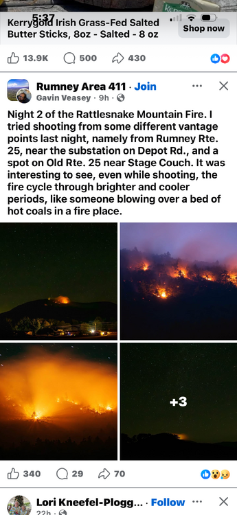
- Today
-
Looking at that line die a little in the middle gives me Stephens City vibes
-
Flood Watch National Weather Service Baltimore MD/Washington DC 522 PM EDT Sun Aug 16 2026 DCZ001-MDZ013-016-504-VAZ053>057-506-526-527-170530- /O.EXB.KLWX.FA.A.0015.260816T2300Z-260817T0700Z/ /00000.0.ER.000000T0000Z.000000T0000Z.000000T0000Z.OO/ District of Columbia-Prince Georges-Charles-Central and Southeast Montgomery-Fairfax-Arlington/Falls Church/Alexandria-Stafford- Spotsylvania-King George-Eastern Loudoun-Northwest Prince William- Central and Southeast Prince William/Manassas/Manassas Park- 522 PM EDT Sun Aug 16 2026 ...FLOOD WATCH IN EFFECT UNTIL 3 AM EDT MONDAY... * WHAT...Flash flooding caused by excessive rainfall continues to be possible. * WHERE...The District of Columbia, portions of Maryland, including the following areas, Central and Southeast Montgomery, Charles and Prince Georges, and Virginia, including the following areas, Arlington/Falls Church/Alexandria, Central and Southeast Prince William/Manassas/Manassas Park, Eastern Loudoun, Fairfax, King George, Northwest Prince William, Spotsylvania and Stafford. * WHEN...Until 3 AM EDT Monday. * IMPACTS...Excessive runoff may result in flooding of rivers, creeks, streams, and other low-lying and flood-prone locations. * ADDITIONAL DETAILS... - Multiple rounds of showers and thunderstorms are expected to move through the Watch area this evening through the first half of the night. A widespread 1 to 2 inches of rain is expected, with localized totals of 2 to 4 inches where training or backbuilding occurs. Some instances of flooding are expected to occur, especially in urban areas that receive multiple rounds of storms. - Please visit www.weather.gov/safety/flood for flood safety and preparedness information PRECAUTIONARY/PREPAREDNESS ACTIONS... You should monitor later forecasts and be prepared to take action should Flash Flood Warnings be issued.
-
Man did my area get cut down. Forecast went from 0.5 to 0.75 for today and tonight to just 0.25 to 0.5 for tonight after nothing today. Oh well I guess the all day thick overcast killed it