All Activity
- Past hour
-
Absolutely pouring again. Well over 2” now.
-
 He’s just trolling now
-
Today's Highs: TEB: 85 PHL: 85 New Brnswck: 83 TTN: 83 ACY: 83 EWR: 82 BLM: 81 LGA: 81 ISP: 80 JFK: 80 NYC: 79
-
E PA/NJ/DE Summer 2026 Obs/Discussion
Albedoman replied to PhiEaglesfan712's topic in Philadelphia Region
We received approximately 3.45 inches of rain in Lower Macungie during the past 24 hours, and it came in three separate events of more than one inch each. This is exactly the type of beneficial rainfall our farmers, streams, and groundwater resources have desperately needed after months of persistent dry conditions. For once, the Lehigh Valley received meaningful rainfall instead of watching storms repeatedly weaken, split, or miss the areas north of South Mountain. The response of the Little Lehigh Creek says it all. The creek is now at or near bankfull—the first time I have personally seen it at that level in more than four months. While the heavier rainfall has obviously created localized flooding concerns, we should not lose sight of the larger issue. Much of the Lehigh Valley has needed substantial, sustained rainfall for months. This event finally delivered enough water to provide meaningful soil-moisture recharge, improve streamflow, and give agricultural areas the soaking rainfall they badly needed. One heavy rainfall period does not erase months of precipitation and groundwater deficits, but this is certainly a major improvement and hopefully the beginning of a change in the pattern rather than another isolated event. After months of watching beneficial rainfall repeatedly miss the Lehigh Valley, 3.45 inches in three substantial rounds is a welcome sight. -
Tornado on the ground in eastern Durham county, radar indicated.
-
Pouring again in Chester with lightening and decent thunder.
-
I’m out watering. At least some of the MD rain will keep the Potomac running.
-
Absolutely dumping rain here in Brier creek. Lightning has been very impressive. I think a street light got struck as there was a bright flash driving home near Wake Med hospital in BC. Flash Flood warnings in effect here as well .57" so far this evening.
-
Heavy rain; vivid lightning, strong winds in Northern OC
-

E PA/NJ/DE Summer 2026 Obs/Discussion
LVLion77 replied to PhiEaglesfan712's topic in Philadelphia Region
That training makes it all the way to central Jersey. Impressive. . -

2026 Spring/Summer Mountain Thread
Tyler Penland replied to Buckethead's topic in Southeastern States
It looks fake. Not saying there wasn't a funnel (there almost definitely was), but I doubt it looked like that. -

E PA/NJ/DE Summer 2026 Obs/Discussion
Hurricane Agnes replied to PhiEaglesfan712's topic in Philadelphia Region
Just listening to NOAA Weather radio and heard the auto-guy call your area "Qwee-care-town. So far the rain band has diffused over me and I only have 0.10" in the bucket after a couple passes, with only light rain sitting over me at the moment. Not complaining since I got 0.90" yesterday . Currently 70 with dp 69 (had a high of 83 today).. -

E PA/NJ/DE Summer 2026 Obs/Discussion
BBasile replied to PhiEaglesfan712's topic in Philadelphia Region
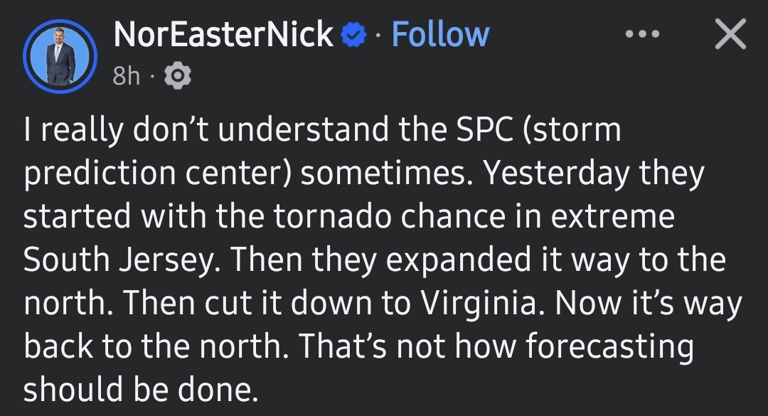
I've never disliked a meteorologist more than this bum. He steals the NWS forecasts and then trashes them. Proof that a social media following doesn't equal quality. Embarrassed that he's from my town.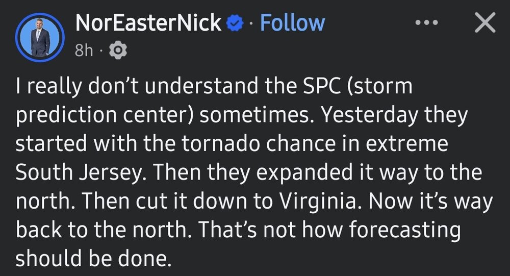
-
 Here ya go.
 -
Fairfax county is an absolute embarrassment on that map.
-
several storms with fairly broad rotation
-

2026 Mid-Atlantic Severe Storm General Discussion
RickinBaltimore replied to Kmlwx's topic in Mid Atlantic
Another round of heavy rain coming down now -
Upton thinks there is still the chance of storms and when you have t-storms there is always a chance a few can become severe AFD from KOKX
-
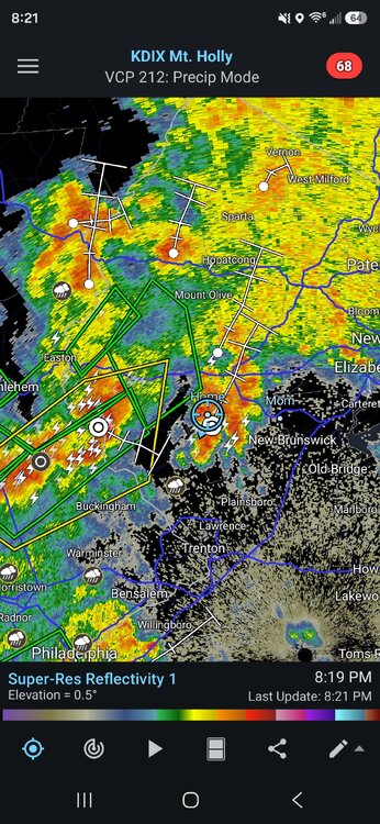
Thunderstorm again, 1.63" and pouring.
-
E PA/NJ/DE Summer 2026 Obs/Discussion
BBasile replied to PhiEaglesfan712's topic in Philadelphia Region
Good looking storm as it approached, but completely fell apart as it did. Maybe we can cash in on some rain, anyway. -
 Your area might do well over the next 48 hours.
 -
 what does this map even mean? Like, there is a slight ~15% chance that I get excessive rainfall? what is excessive? And yes I know it is going to rain just seems stupid to me
 -
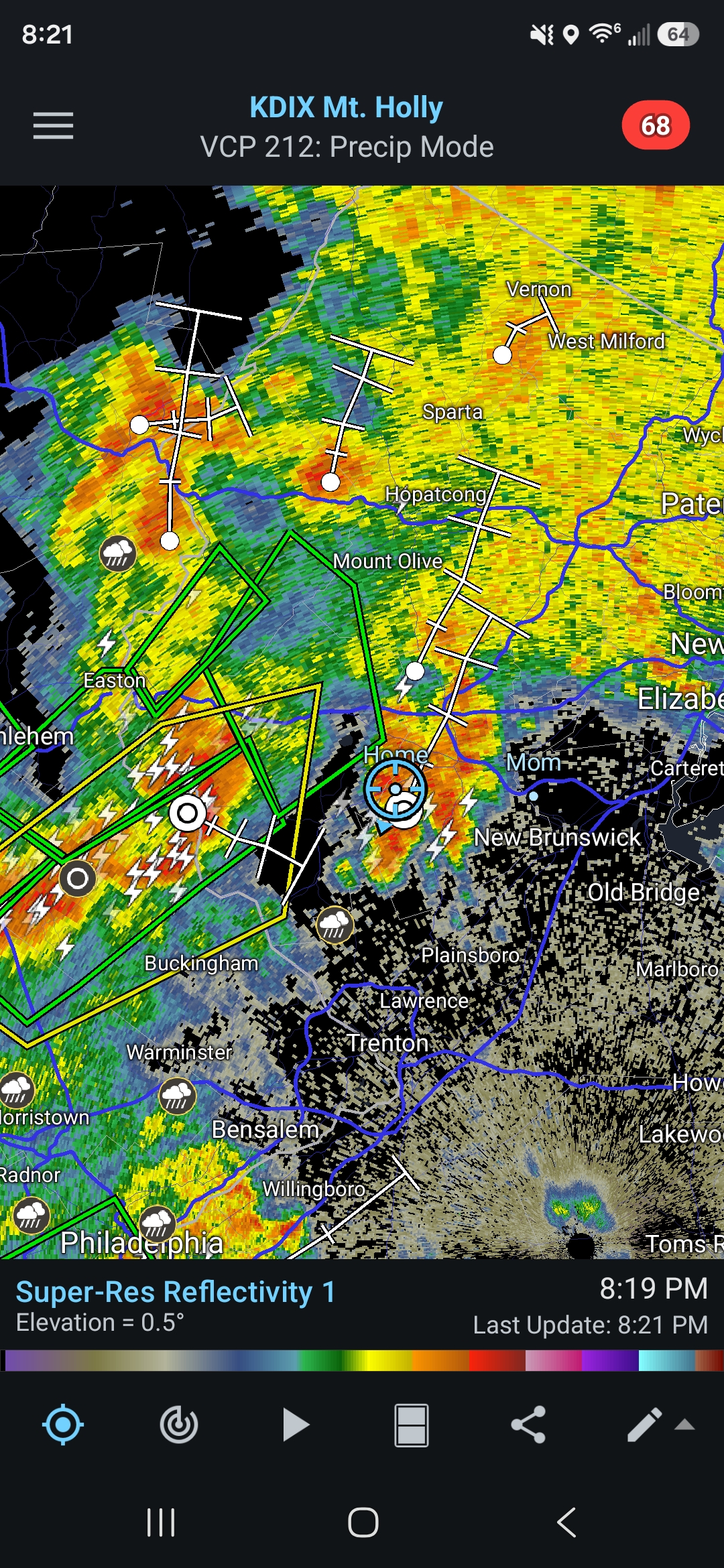
Western Hunterdon County along and south of 78 looks poised for some torrential rains at a minimum. Radar looks very impressive. Western and central Somerset county as well. Still bursts of heavy rain here with rumbles of thunder.
-

E PA/NJ/DE Summer 2026 Obs/Discussion
RedSky replied to PhiEaglesfan712's topic in Philadelphia Region
2.80" i couldnt believe that reading been a way long time -

2026 Mid-Atlantic Severe Storm General Discussion
WEATHER53 replied to Kmlwx's topic in Mid Atlantic
Have you relocated?