MN Transplant
-
Posts
17,185 -
Joined
-
Last visited
About MN Transplant

-
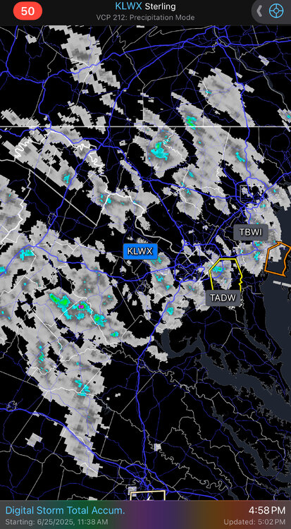
1.5 miles from radar estimates of well over an inch. I’m at 0.05”.
-
Just ooze a bit this way…
-
Was just there at the Air and Space Museum. Walking out of the climate controlled building was a slap in the face.
-
0.06”. Complete dud. Hope tomorrow delivers.
-
These lines that gust out and skip forward are just the worst.
-
Great temps this morning, but there is still visible smoke in the air from the festivities last night. Air quality is bad.
-
Tomorrow looks like a fantastic summer day with low humidity and reasonable temps.
-
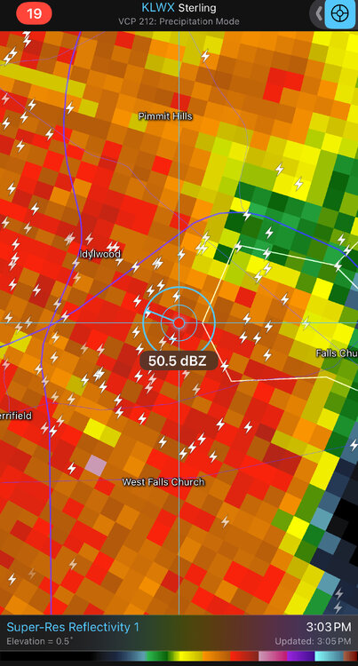
Not home, but checked in on the pet cam and it was just one crack of thunder after another. This is as electrical as I’ve seen in years.
-
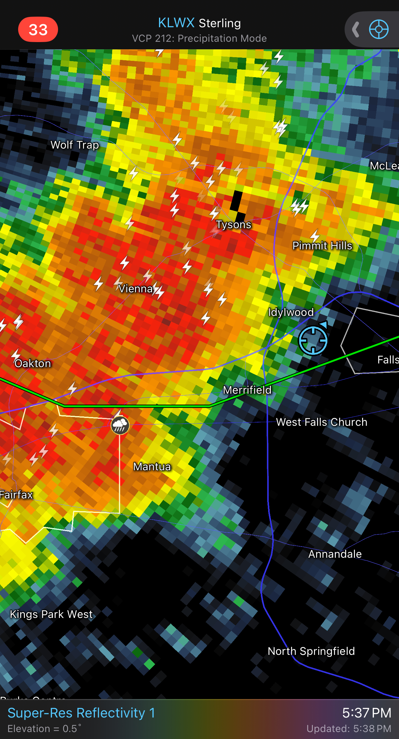
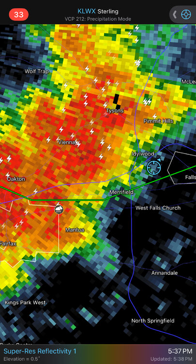
That cell NE of Baltimore is just crushing a small area.
-
Dew point at DCA has been up to at least 78. MD mesonet ranges from 74-78. Disgusting.
-
Oh yeah, we are deep into splotchy season now
-
Definitely have convective initiation happening.
-
98.1, topping yesterday. I think the immediate surface layer drying out helped with my temps today.
-
90 at 9am. Awful
-
87.4 at 8:30am.