All Activity
- Past hour
-

Rise of the Machines: January 18-19 Winter Storm Obs Thread
bristolri_wx replied to WxWatcher007's topic in New England
Maybe about an inch from this morning in Providence. Light snow at the moment but not really sticking. If heaviest bands can hold off until surface temps drop a few degrees after sunset, then I'm optimistic the 3-5+ will happen down here, but I feel it's very temp dependant on this storm... even when it was snowing heavier earlier this morning, it was having trouble accumulating at 32/33 on the way in to work. -

Rise of the Machines: January 18-19 Winter Storm Obs Thread
FRWEATHA replied to WxWatcher007's topic in New England
Welcome to the bayous of New England. Been snowing here all morning with nothing to show. I hope temperatures drop when the heavier stuff arrives. -

Winter 2025-26 Medium/Long Range Discussion
ILSNOW replied to michsnowfreak's topic in Lakes/Ohio Valley
Not for Oklahoma and Arkansas. -

Storm potential January 17th-18th
binbisso replied to WeatherGeek2025's topic in New York City Metro
Yup snow picking up here with no echos overhead. Should be a fun afternoon, evening -

Storm potential January 17th-18th
coastalplainsnowman replied to WeatherGeek2025's topic in New York City Metro
Very little to speak of here. Temp stubbornly mid 30s and the slushy ~0.5" that accumulated when it was a bit heavier is sliding off the cars etc. Just 3-4 miles north where I was this morning though different story. Probably between 1.5 and 2", accumulated on most surfaces other than roads, and was coming down good for awhile. Was drizzly there too as I was headed back here though. -

First Legit Storm Potential of the Season Upon Us
DavisStraight replied to 40/70 Benchmark's topic in New England
Probably or maybe tomorrow. -

Storm potential January 17th-18th
weathermedic replied to WeatherGeek2025's topic in New York City Metro
Radar filling in over the northern half of NJ with northeast movement towards NYC -

January 18th Back Door NW Trend Snow OBS Thread
JTA66 replied to Mikeymac5306's topic in Philadelphia Region
Big, puffy cotton balls coming down. -

January 18th Back Door NW Trend Snow OBS Thread
Kevin Reilly replied to Mikeymac5306's topic in Philadelphia Region
Interesting radar: You can see where the new precipitation is developing in south Jersey in banding segments moving NE and also more developing over Delaware County right over my house and I can confirm snow is picking up in intensity and flakeage. It's a shame we are JUST missing this coastal I-95 west. See if we can eek out another 1-2" here in Central Delaware County Points South and east? See if we can get the precipitation shield to expand westward and see if we can get a jet streak over head to enhance the snow. -
Hmmmm colder air is definitely working in already. Light drizzle has turned to light flakes here in Newark De. Earlier we needed rates just to eek out a few mangled flakes. You can clearly see the change. Maybe we are good for 1-2 inches after all
-
A round of snow later this afternoon for those east of DC is definitely not off the table. Even runs late Saturday showed a second round later Sunday afternoon - they just disagreed on how far west it would come. And there still isn't a ton of agreement on that......
-
Amazing how the gfs avoids digital blue. Goes from cutter to suppressed without even giving us the pleasure of one run
-
Swainsboro switched from rain to snow at the 11AM hourly:SWAINSBORO LGT SNOW 34 34 100 W5
-
welcome to the forum! our best posters are ji and greyhat. they provide the most insight. be sure to listen to them.
-
Looks like we get a little snow tonight.

-

Pittsburgh/Western PA WINTER ‘25/‘26
TheClimateChanger replied to Burghblizz's topic in Upstate New York/Pennsylvania
Averages start climbing again in a few days. Interestingly, under the old 1981-2010 normals, highs started climbing today (35.4F on the 17th, to 35.5F on the 18th). -

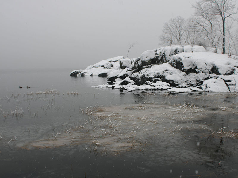
Storm potential January 17th-18th
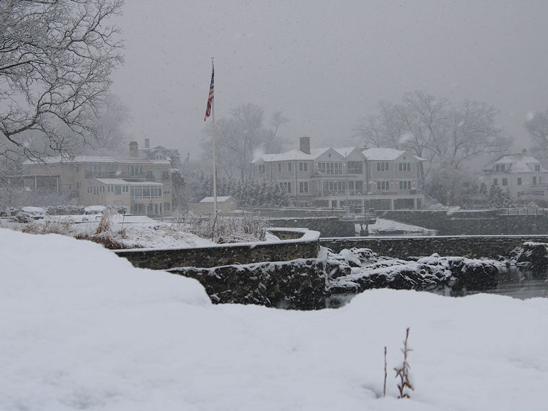
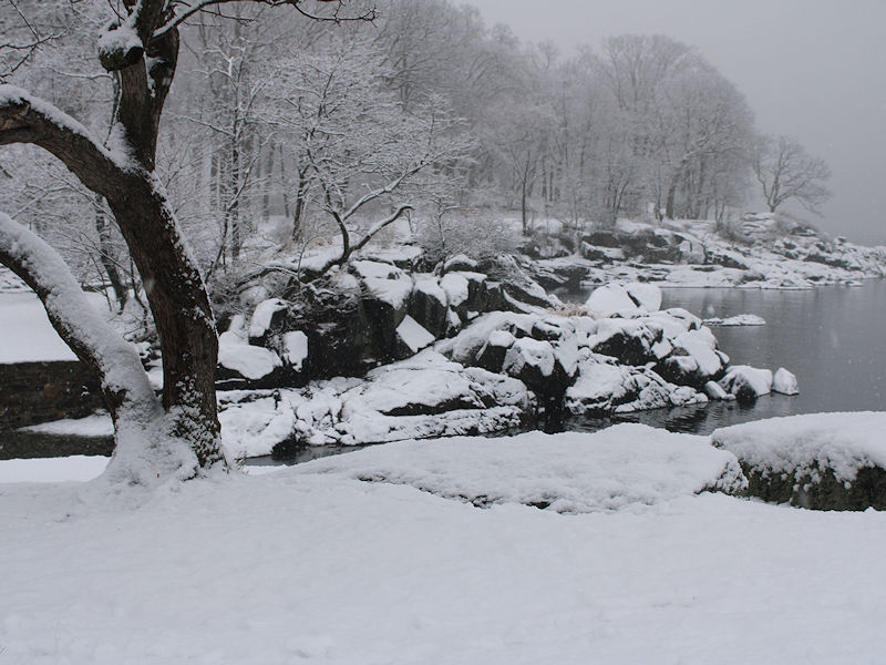
donsutherland1 replied to WeatherGeek2025's topic in New York City Metro
Four photos from this morning: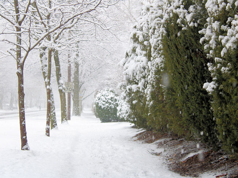
-
Better to be in the bullseye than not
-
GFS/CMC are what dreams are made of
-

Storm potential January 17th-18th
winterwarlock replied to WeatherGeek2025's topic in New York City Metro
1.5 inches from first batch and snow shut off about 90 minutes ago. We shall see what comes later..a bit skeptical -
Drizzle here
-

Winter 2025-26 Medium/Long Range Discussion
A-L-E-K replied to michsnowfreak's topic in Lakes/Ohio Valley
And it's gone -
Yeah cmc has back to back events for Tennessee and NC. Someone will end up with a foot plus
-

2025-2026 Fall/Winter Mountain Thread
strongwxnc replied to Buckethead's topic in Southeastern States
Sure does. Strung out over a few days also. [emoji102] . -

January 16-18th: Rolling the dice
Stormchaserchuck1 replied to SnowenOutThere's topic in Mid Atlantic
Don't look now, but the 15z Hrr has moderate snow over the Baltimore area later today. Another 0.5" here