All Activity
- Past hour
-

Pittsburgh/Western PA WINTER ‘25/‘26
colonel717 replied to Burghblizz's topic in Upstate New York/Pennsylvania
My point and click still shows about 4 hours of mix. I hope that is updated. -
Yea I mean it just did 30 miles on 1 run. 30 miles more and it will look like everything else. Then the main differences just become if the intensity - if Reggie is right everybody will be happy. .
-

January 24-26: Miracle or Mirage JV/Banter Thread!
BTRWx's Thanks Giving replied to SnowenOutThere's topic in Mid Atlantic
Watch DCA get above freezing tomorrow. -

Central PA Winter 25/26 Discussion and Obs
pasnownut replied to MAG5035's topic in Upstate New York/Pennsylvania
Go look at 700's. Thats my focus right now. A bit better for those on the line. And I've not started drinkin so snow goggles are not on.....yet -
Noticed that there has not been much thunderstorm activity near the GC on this storm so far- usually that is a big factor in moisture transport
-

Extreme Cold, Snow & Sleet: SECS 1/25 - 1/26
Winterweatherlover replied to TriPol's topic in New York City Metro
I don't think the NAM will come more south but at least it ticking south brings NYC back into warning level snow and a low end disaster scenario seems less likely. -

Pittsburgh/Western PA WINTER ‘25/‘26
TimB replied to Burghblizz's topic in Upstate New York/Pennsylvania
NAM is fine. Both models. -

Extreme Cold, Snow & Sleet: SECS 1/25 - 1/26
SACRUS replied to TriPol's topic in New York City Metro
1/24 18z nam total qpf total snow (10:1) -

Jan 24-26 Weekend Snow and Sleetfest Model Thread Part Tres
Ji replied to H2O's topic in Mid Atlantic
The new exp Nam is colder -

1/24-1/25 Major Winter Storm - S. IL, IN, and OH
Malacka11 replied to A-L-E-K's topic in Lakes/Ohio Valley
Crack rock fairy shit commencing. -
No. It gave Long Island a nice bump up
-

Pittsburgh/Western PA WINTER ‘25/‘26
Ecanem replied to Burghblizz's topic in Upstate New York/Pennsylvania
Latest NAM 3k pushes sleet a little south. -

Extreme Cold, Snow & Sleet: SECS 1/25 - 1/26
sussexcountyobs replied to TriPol's topic in New York City Metro
Location of that please? Can't figure it out? -

“Cory’s in LA! Let’s MECS!” Jan. 24-26 Disco
moneypitmike replied to TheSnowman's topic in New England
GYX is like a 900 number. Mesoscale guidance is also beginning to show hints of a few mesoscale features as well including some possible ocean enhancement as well as perhaps an inverted trof. These features are notoriously difficult to forecast but broadly speaking, SE NH and perhaps portions of the SW ME coastline could be most likely to be these "hot spots." -
Yeah both Feb ‘78 and Feb ‘03 beat April ‘97 for storm total but neither of them beat the 24 hour record from ‘97.
-
28/8 here now.
-
Yep. I'm to the point that going to Roanoke is irritating lol.
-

Jan 24-26 Weekend Snow and Sleetfest Model Thread Part Tres
osfan24 replied to H2O's topic in Mid Atlantic
The discounting of the NAM is wild to me. I have seen it nail this kind of situation so many times before. This is where it thrives. I’d rather look at the NAM than the garbage GFS. -

Extreme Cold, Snow & Sleet: SECS 1/25 - 1/26
Stormlover74 replied to TriPol's topic in New York City Metro
Rrfs follows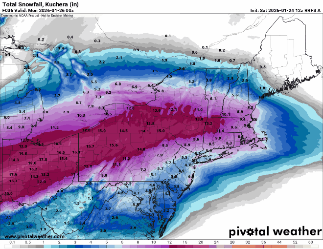
-

Extreme Cold, Snow & Sleet: SECS 1/25 - 1/26
MarcmmKU replied to TriPol's topic in New York City Metro
NAM -

Pittsburgh/Western PA WINTER ‘25/‘26
dj3 replied to Burghblizz's topic in Upstate New York/Pennsylvania
Radar and models look awesome. -
Pittsburgh/Western PA WINTER ‘25/‘26
dj3 replied to Burghblizz's topic in Upstate New York/Pennsylvania
McCarthy hire so we have to do this all over in 2-3 years. Just rip the band aid off and rebuild. -
 Just went for a “Jebwalk”. Snow is coming down pretty solidly at the moment.
- 209 replies
-
- 1
-

-
- observations
- obs thread
- (and 1 more)
-

Central PA Winter 25/26 Discussion and Obs
Mount Joy Snowman replied to MAG5035's topic in Upstate New York/Pennsylvania
Yep, ended up nearly identical, 12k that is, haven't looked at 3k yet.


