All Activity
- Past hour
-
 That’s going down towards the cape
 -
Looks like you're about to get the goods
-
I have had thunder off and on. Wind is still strong out of the southeast. It’ll be interesting to see how it’ll interact with any energy from Berthas outer bands once it gets closer on the plateau/valley. Usually storms closer to the gulf limit us here iirc but some storms are producing out the far end of the bands in the upper regions of GA/AL. .
-
Unreal. Congratulations.
-
No tornado here a few miles north of Winchester but quite the show so far. 1.36 and pouring again
-
A cooler regime is in place and will remain in place through the remainder of July. Highs will generally reach the upper 70s and lower 80s through the week and into the start of the weekend. A few more Showers and thunderstorms are likely tonight into tomorrow. With an estimated 4.73" of rain as per precip.ai, White Plains smashed its daily rainfall record of 2.20" from 1973. The ENSO Region 1+2 anomaly was +3.6°C and the Region 3.4 anomaly was +2.1°C for the week centered around July 15. For the past six weeks, the ENSO Region 1+2 anomaly has averaged +3.20°C and the ENSO Region 3.4 anomaly has averaged +1.82°C. The ongoing strong El Niño will continue to strengthen through the summer. The SOI was -17.36 today. The preliminary Arctic Oscillation (AO) was -0.673 today. Based on sensitivity analysis applied to the latest guidance, there is an implied near 74% probability that New York City will have a cooler than normal July (1991-2020 normal). July will likely finish with a mean temperature near 76.6° (0.9° below normal). Supplemental Information: The projected mean would be 0.1° above the 1981-2010 normal monthly value.
-
1.23" for the day so far. 8.18" for the month
-
 Another 1-2”+ headed right at Taunton . That kid .. I swear
 -
We almost certainly had sustained winds pushing 40 with higher gusts between 2 & 3 this afternoon in FWB. Very little rain as expected on the N side due to the shear. I will say I was taken back by the wind speed. Things are calming rapidly now as expected. NHC did well extending the TS warning eastward earlier today. .
-
1.35 and counting
-
.06" of light rain...missed it all again
-
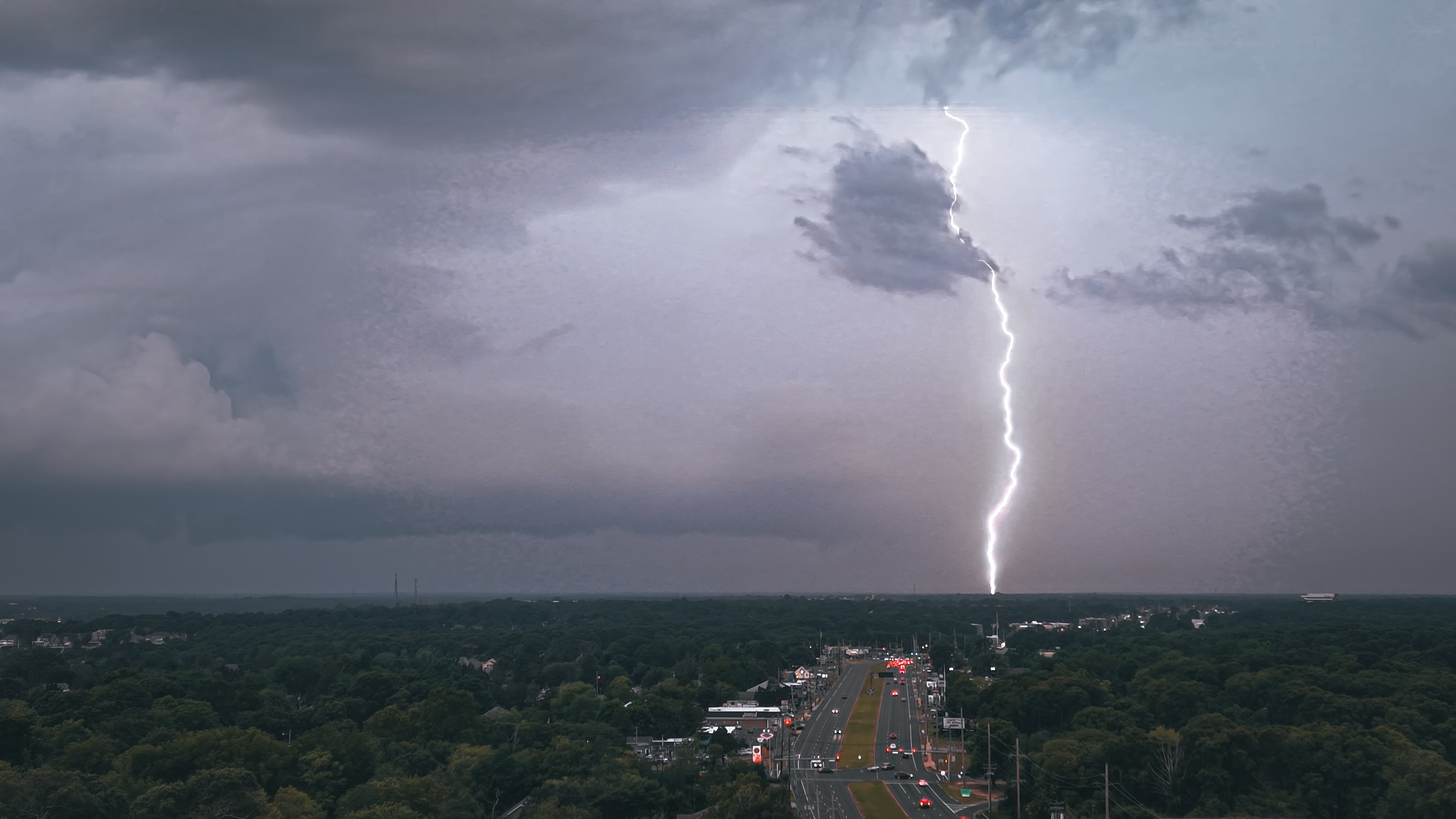
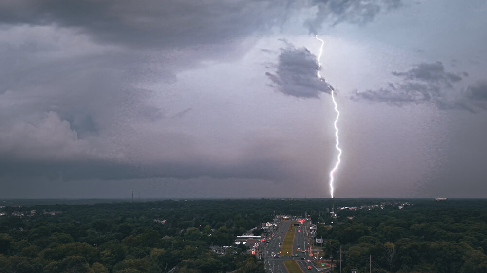
Captured with my drone before the squall line came through.
-

2026 Mid-Atlantic Severe Storm General Discussion
wxmeddler replied to Kmlwx's topic in Mid Atlantic
Just rain and wind from here on out mostly. And most of the wind threat will likely be US50 and south. -
https://www.facebook.com/groups/northjerseyweatherobservers/posts/10163347026888108 Impressive video of the storm that may have dropped the tornado near parsippany.
-
 66F/ .28" so far
 -
Happy for the rain. Some thunder earlier
-

2026 Mid-Atlantic Severe Storm General Discussion
Eskimo Joe replied to Kmlwx's topic in Mid Atlantic
Loss of daytime heading and junkvection really killing off the tornado risk. -
Columbia: 0.87” over last hour or so with very light rain ongoing. Latest storm gets me over 5” for July.
-

2026-2027 Super El Nino
EasternLI replied to Stormchaserchuck1's topic in Weather Forecasting and Discussion
It's really an excellent site David Gold has put together. Tons of great stuff. It's so nice to be able to see the actual AAM charts again. I'm glad someone has decided to keep up the work with these. These are so much more helpful than simply a positive or negative reading. For example here, we can see the la nina fade away it's influence on the atmosphere as we headed through May. With increasingly el nino conditions exerting influence. One last gasp of the residual la nina around mid June. Now, this el nino looks to be increasingly taking control from here on out as per AIFS forecasts and these obs. Also of note, what has been a very active jet in the Southern hemisphere. Which has been pointed out in this thread too. -

Mid-Long Range Discussion 2026
WinstonSalemArlington replied to BooneWX's topic in Southeastern States
A change is gonna come -
Outflow in the southern semicircle is impressive. Almost looks like half a major .
-
They look pretty far away on radar but I'm getting thunder and lightning already.
-
My neighbor was cutting his lawn (hay at this point) yesterday and there was so much dust being kicked up by the mower that I understood how the dust bowl happened.
-

2026 Mid-Atlantic Severe Storm General Discussion
AmericanWxFreak replied to Kmlwx's topic in Mid Atlantic
I think the threat shifts to flash flooding .- 1,410 replies
-
- 1
-

-
- severe
- thunderstorms
- (and 7 more)
-
2026 Mid-Atlantic Severe Storm General Discussion
wxmeddler replied to Kmlwx's topic in Mid Atlantic
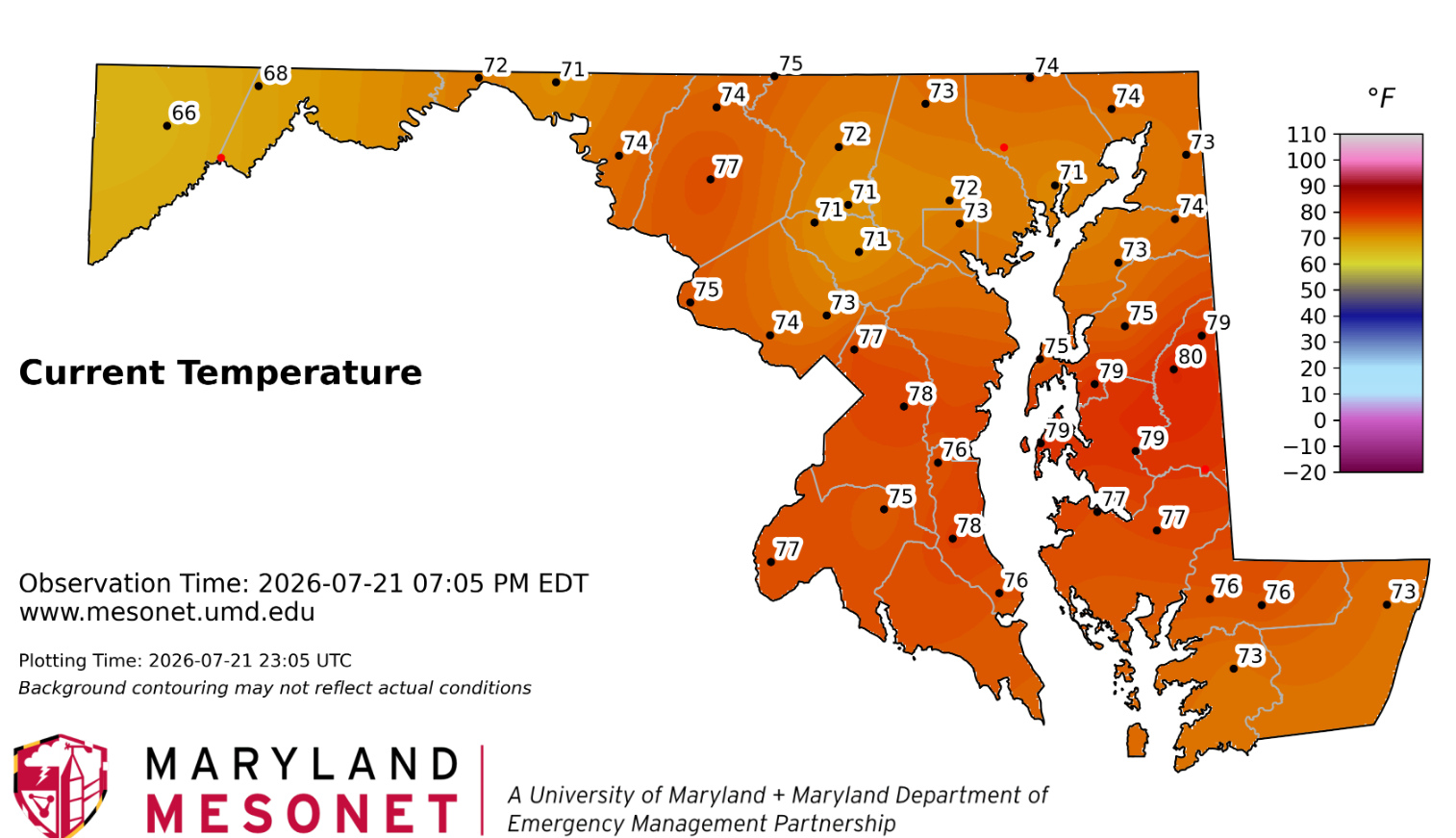
The atmosphere is pretty well turned over at this point. Not sure we're going to get much more in the way of tornadoes unless it's some QLCS / bookend thing.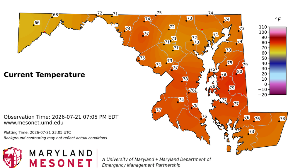









.thumb.jpeg.f5c6ba9d911ec96b3b124f8606aee58e.jpeg)