All Activity
- Past hour
-
Scott all excited about the 00z ECMWF coastal on Monday?!
-
0.00 for the day & month -- light drizzle 1.16 for April Firmly locked in the grip of the latest drought down here in the central Valley...
-
More developing in TN.
-

2026-2027 Strong/Super El Nino
snowman19 replied to Stormchaserchuck1's topic in Weather Forecasting and Discussion
-
Blowing through pretty quick though.
-
You keep making my point. Thanks
-
It’s about the exciting things you can do in those seasons weather rather than the weather itself. A lot more to do in spring/summer than winter.
-
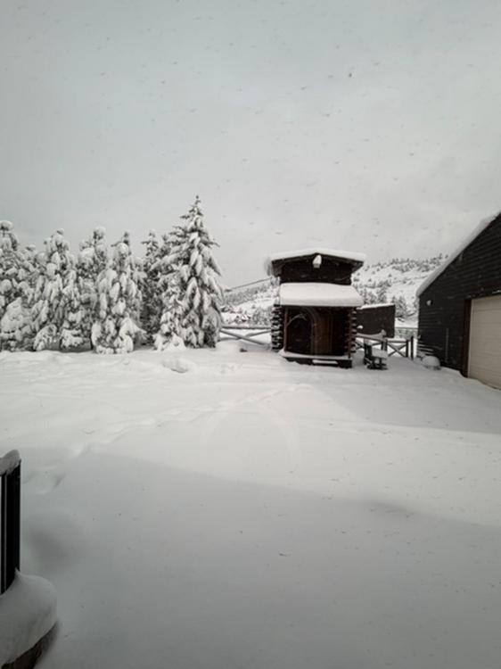
Here is a pic from my window this morning. Snow is too heavy for my Polaris Ranger to plow, so really hoping for some sun today.
-
Finally
-
Ensembles look warmer than the OP EURO out in fantasyland.
-
Totally different winter patterns. My average is 24" snowfall. In 1998, I received 33 inches. In 22-23, I received 1.50". There is more to a winter than the ENSO pattern and west or east based and strength.
- Today
-

2026-2027 Strong/Super El Nino
George001 replied to Stormchaserchuck1's topic in Weather Forecasting and Discussion
Yep it’s coming. This is clearly an early developing El Niño with extreme subsurface heat, I am fully on board with the super Nino idea. Normally I lean against an extreme event until proven otherwise, but like you said them having to adjust the scales…. Have to wonder if the more aggressive normally warm biased guidance has the right idea this time (eg European). -
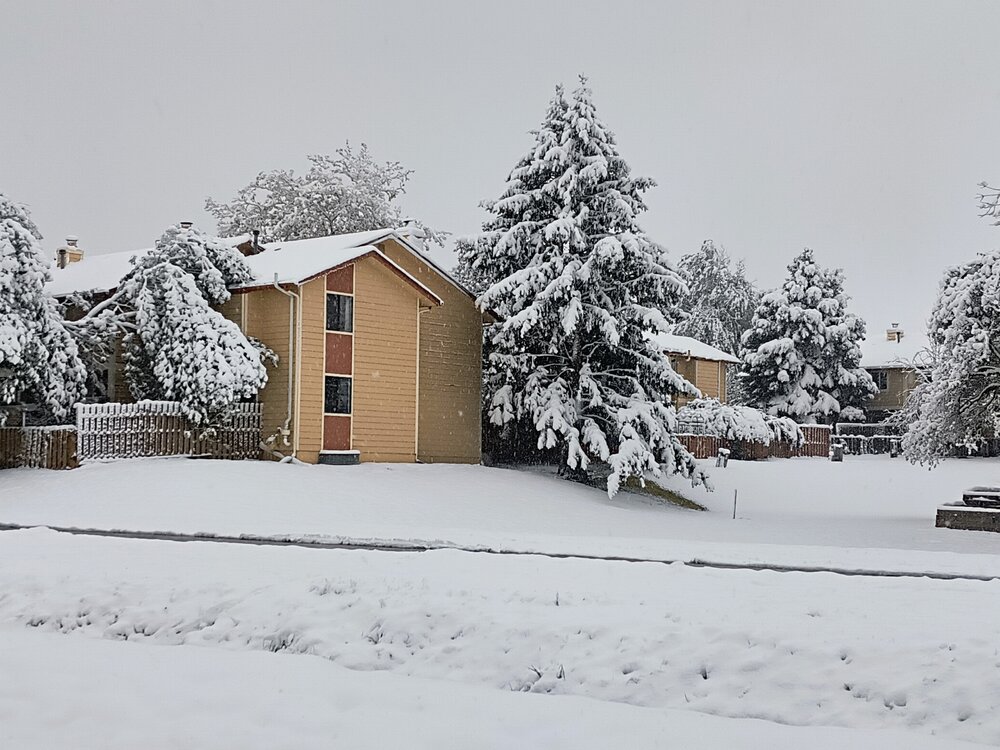
Nice heavy downpour in Asheville
-
I agree...
-
This time of year when we can still get large synoptic scale events you want to rack up the rain totals. Soon we’ll be relying on daytime convection and 95% of the time that favors inland.
-
Did you even look at the Euro..??
-
Yeah that’s a reasonable starting point. Super nino is bad news for those of us living in northern areas.
-

2026 Mid-Atlantic Severe Storm General Discussion
SnowenOutThere replied to Kmlwx's topic in Mid Atlantic
Huh, there’s clearing out near 1-81 and even in Reston (I’m back from uva for the summer) there was a peak of filtered sunshine. Seems we may be ahead of schedule. -
Awesome! Hardly anything in Asheville.
-
Also included 2 villages, Oxbow and Allagash, with Clayton Lake in the middle of the area. Total population <500, about 0.2 per sq. mile. 78/35 yesterday, maple buds bursting, oak not yet, white ash still asleep.
-

Central PA Spring 2026 Discussion/Obs Thread
Itstrainingtime replied to Voyager's topic in Upstate New York/Pennsylvania
This batch of rain is hauling - looks like it will be clear of all of us in the next hour or so. -
Line is shrinking in width and coverage as it moves east and is picking up speed should be east of most of the region by evening - this has been the trend lately and the drought conditions are getting worse - lawns are very dry and not growing as fast as usual this time of Spring
-
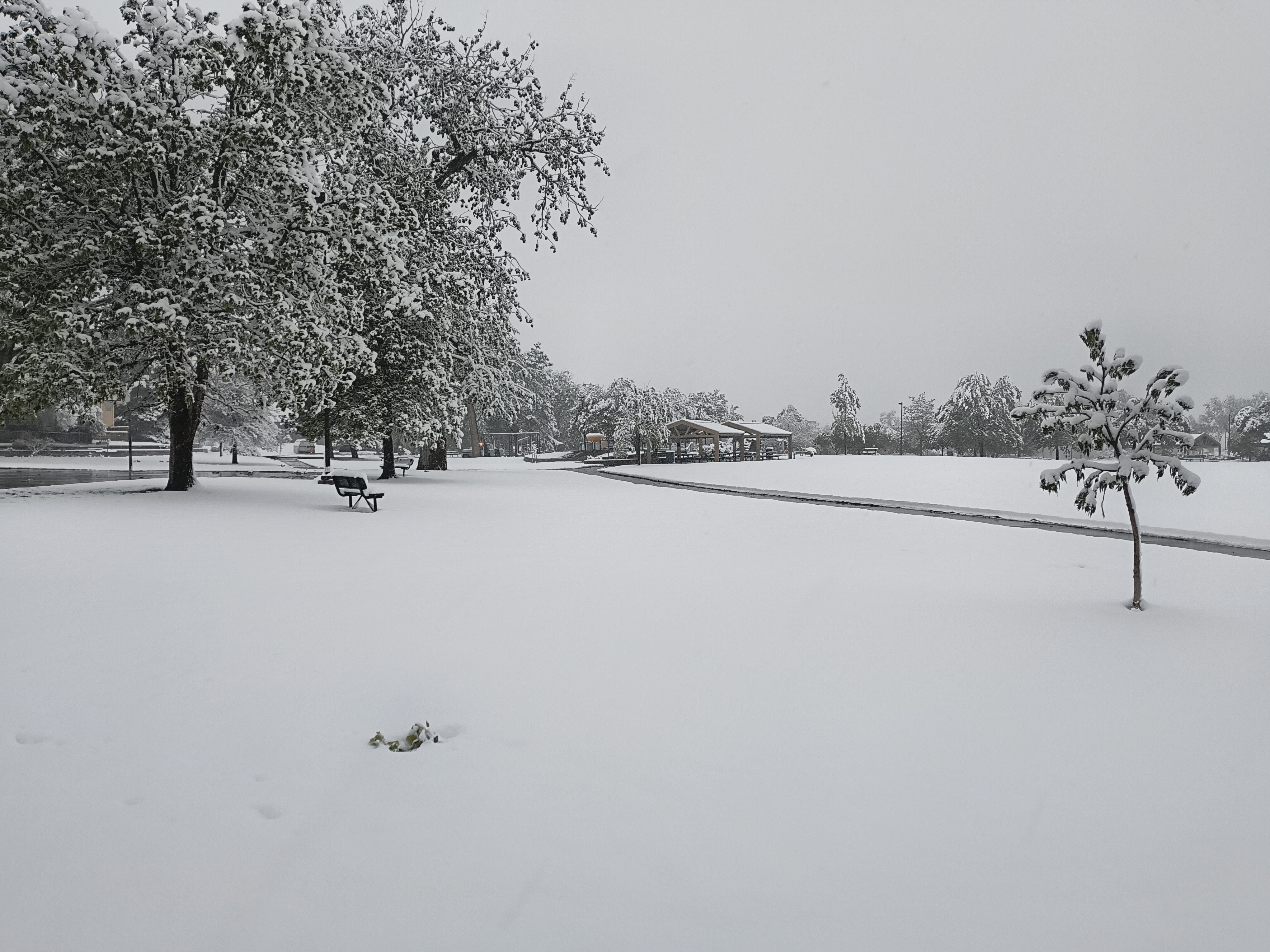
8" storm total here. By far the most I've seen in May in my 19 years here. 3.5" was my record.

-
Looks like I'll pull an extra inch from this morning's stuff. So 8" Even with that, still has me under 50% of normal for the season.
-
Either way it will be nothing like it was modeled to be several days ago....as you said yesterday. Most of the area was modeled at .75 to 1.25" and now we will struggle to reach .25" in most places. Does not look overly wet over the coming 1-2 weeks. Dry periods outdoing the wet periods for better than 18 months now.


.thumb.gif.f92b16c631a1d15d405ed77b33f0710d.gif)