
All Activity
- Past hour
-
 tremendous wet snow winter for upstate NY back west throughout the Lakes, and we're having a record number of STJ jacked coastals/Nor'easters of all rain. wah wah wahhh Can't keep raising the back ground then super impose a record ocean warmth and expect to keep getting timely cold. Eventually, we're getting a winter that's just too damn warm. Oh it'll snow once or twice... sure. Excluding the delusion enabler events though, p.o.s. flooder incoming?
 -
2.4
-
Only 0.44" here from yesterday and last night's event. This was the screw zone, but at least it was enough to give things a decent watering.
-
 Meanwhile in methuen ...just a few sprinkles so far today...great prep for the upcoming Super El Nino winter..
 -
 That area in ENY will get a foot plus . Still many many hours to go there . Wish we had more reports and people that lived there
 -
For me personally, I'd prefer over-warning to under-warning for tornadoes. Over-warning means I waste 20 minutes in my basement. Under-warning potentially gets a lot of people killed.
-
Since we’re in a very strong El Niño- probably.
-
 Some sun here
 -
And another one...gee I did not realize that asking a legitimate question can be so upsetting. Lol
-
 Buzzsaw powerhouse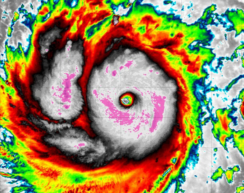
-
 About .4 on the day. 1.5 including yesterday. Slot coming by noon.
 -
 Greenfield around 1.25” now.
 -
Haven't seen that. Did a search, and seems a doc was done on this, and is posted on YT. Will have to look at that sometime.
-
 I think mosquitos have evolved to the point to where they don't care anymore. As long as its above 50 they will be out looking for blood. Dry conditions, humid conditions, don't matter to them anymore
 -
 Nice little firehose setting up for eastern mass. This will hopefully help us make up the deficit this afternoon and evening. Get them rafts and dingies ready!
 -
We dry out a few days before we get back into more rainfall. This is a drought buster pattern. Asheville has nearly 9 inches This month and Raleigh has nearly 13 inches which is more rainfall in 1 month than the past 6 months combined.
-
 I've had 0.61" MTD and my skeeters are as bad as ever. Mother nature's Eiffel Tower this month over here.
 -
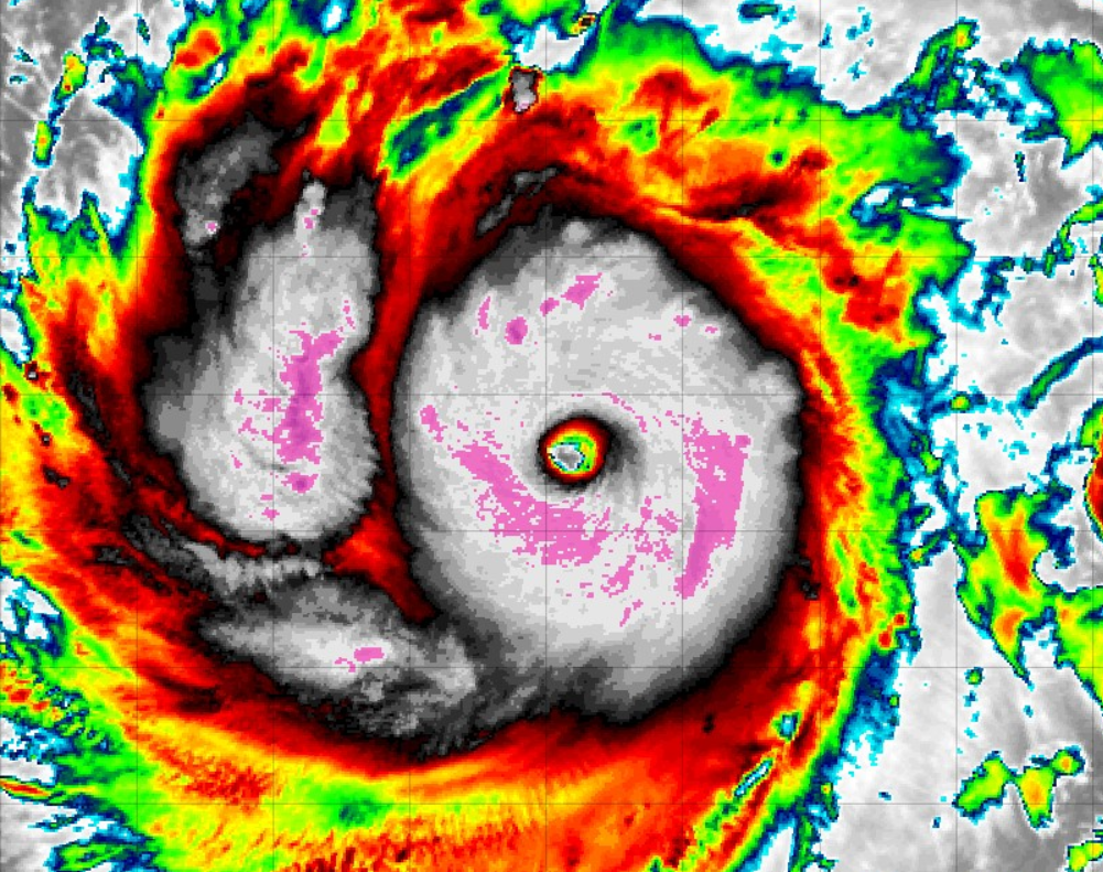
 Absolutely wild comeback this morning. Textbook ERC and, under pristine conditions it didn't take long go nuclear for a second time in 2 days. What a specimen
 -
 How about since May 1
 -
With 15 plus inches since the middle of May, good. It's plenty lush enough and wells are full
-
 BDR is 2nd wettest July. Record is 12.84 July 71.
.thumb.png.ab466567c9c50a3d67a695cf55a6a3c7.png)
-
Hoping this is a start of a new cooler, wetter trend for us.
-
Holy shit are we talking record July down there? Squitos must be brutal
-
Looking at the ensembles and other guidance, I do think if the overall 500mb pattern is true...we might get a shot at more NW flow-style severe events beyond the first week of August. While not perfect matches, I do see an similar angle to the 500mb flow from some of our notable severe events from the past.
-
 Looks like E CT/RI going to be slotted soon, congrats SE Mass?








.png.5f1375f5b0847bd3be40923ee928af8c.png)

