All Activity
- Today
-

Augdewst 2026: Summer's Last Stand
OrangeCTWX replied to Prismshine Productions's topic in New England
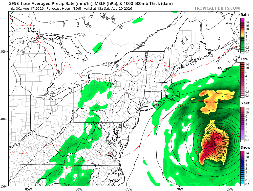
First GFS Fantasy Land - not gonna happen hurricane near us that I can recall this year lol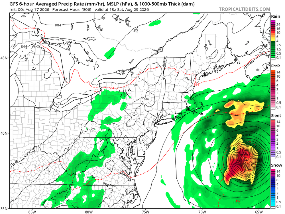
-
Had a very small cell move through Gastonia that laid down some heavy rain.
-
I was monitoring this storm. Baseball sized hail was also reported. The radar returns were like nothing I've ever seen.
-
Public Information Statement National Weather Service Baltimore MD/Washington DC 954 PM EDT Sat Aug 15 2026 ...NWS Damage Survey for 08/14/26 Charlottesville Thunderstorm Wind Event... .Charlottesville, VA Thunderstorm Wind Event... Peak Wind /E/: 90 mph Path Length /statute/: 2.4 miles Path Width /maximum/: 1.4 miles Fatalities: 0 Injuries: 0 Start Date: Aug 14, 2026 Start Time: 5:33 PM EDT Start Location: Greenbrier Community / Charlottesville / VA Start Lat/Lon: 38.065 / -78.481 End Date: Aug 14, 2026 End Time: 5:42 PM EDT End Location: Darden Towe Park / Charlottesville / VA End Lat/Lon: 38.041 / -78.448 Survey Summary: On the evening of August 14th, 2026, a powerful thunderstorm began to develop over southeastern Rockingham County out of a cluster of otherwise innocuous showers. The storm would rapidly intensify into a powerful supercell thunderstorm before reaching the Blue Ridge. As the storm crossed into northwestern Albermarle county, particularly around Free Union, the storm would go through a period of weakening as it approached Charlottesville. Just prior to arrival, the supercell thunderstorm went through another cycle of strengthening, making the storm much more intense than it had been earlier. The storm reached it`s peak intensity as it moved across the north side of Charlottesville. It was at this point in the storms life cycle where it started to drop damaging hail and very strong wind gusts under the forward- flank downdraft of the storm. This is where a majority of damage reports were, with numerous trees and powerlines down between the Greenbrier and Locust Grove neighborhoods and continuing into Darden Towe Park. Ground photos and video, paired with drone photos of the aftermath showed a vast majority of this damage occurring in the southeast direction. This is consistent with a damaging straight line wind event, which occurred over roughly a three square mile area. In this area there were numerous snapped and uprooted trees, several of which fell onto structures and/or powerlines. Additionally, there were a few locations with some structural damage, but those few instances could easily occur with this level of straight line wind damage. The damage lacked any true linear continuity overall, but was moreso in several north-to-south swaths. Additionally, this area had measured hailstones in the 2 to 2.5 inch range. At this time, when paired with radar presentation, this would reinforce the thinking that this damage likely occurred under a microburst within the forward flank downdraft region of this powerful supercell thunderstorm. However, the National Weather Service will be sending a storm damage team to further investigate early this coming week. It is important to note that severe thunderstorms are capable of producing wind gusts equal to EF0 and EF1 tornadoes in extreme cases. The National Weather Service would like to thank Albemarle County Department of Emergency Management, City of Charlottesville Emergency Management, the University of Virginia, as well as local reports via social media and local broadcast meteorologists for the invaluable information provided to this survey.
-
It usually runs way too high on radar estimates versus actual ground truths especially on convective precip ....
-

Mountain West Discussion
mayjawintastawm replied to mayjawintastawm's topic in Central/Western States
1.65" total from the 4-day period here (none today). Yesterday we received less than 0.2" from the storm that produced over an inch and a half just 2 miles from here. There was a lot of mud and rocks up to fist size on the paved Cherry Creek bike trail just north of the dam this morning, and plenty of standing water east and north of the campground. The creek itself looked like it stayed within its banks in the area, though. -
Question of the night: Will Chicago (ORD) log another 90°+ day this year?
-

2026-2027 Record-breaking El Nino
Jebman replied to Stormchaserchuck1's topic in Weather Forecasting and Discussion
Well, I now live in a rather dry part of the country, near Austin, TX. I have been down here since Aug 26, 2018. It's been 8 years. I am REALLY looking forward to any extra rain that the record Nino can give us, and I KNOW that the Southeastern US is gonna get waterworlded BAD by this enso event. DMV Region, too. I think that there will be a few times this winter when extreme moisture in the DC region will meet up with Arctic air and they could see some new snow records get set. You live in the DC area, might want to stock up on food, beer, hundreds of your favorite IPA's, salt, shovels and snowblowers. Just in case..... -
For us on the urban N MA coastal plane …… it is/does ….. as always …..
-

Central PA Summer 2026 Discussion/Obs Thread
AccuChris replied to Voyager's topic in Upstate New York/Pennsylvania
Sitting at 0.94” here in Lebanon for the day . -

2026-2027 Record-breaking El Nino
40/70 Benchmark replied to Stormchaserchuck1's topic in Weather Forecasting and Discussion
Do you have a link for that product or is it paywall? -
2026-2027 Record-breaking El Nino
40/70 Benchmark replied to Stormchaserchuck1's topic in Weather Forecasting and Discussion
That looks like a much more active east past pattern this year. -
Just missed the heart of that big cell going from Charles into southern Calvert and St Mary's, but it is fun watching all the lightning from my south-facing screened porch. I got 0.2 so the day isn't a total bust. I just got that Raindrop app and I have to say it was way off with this. It says 0.51 for my spot and my gauge only has 0.2. Hope it wasn't a waste of money
-
Ritz Carlton, first time on the island.
-

Augdewst 2026: Summer's Last Stand
weathafella replied to Prismshine Productions's topic in New England
I actually would love to see a big benchmark track in mid winter with wind and rain everywhere in New England. The head explosions would be worth the price of admission. I don’t consider myself a mean person but I do have an evil bone at times…. -
He missed almost a month and they didn't send him on a rehab assignment. Kinda stupid after missing that much time
-
This cell to my west is putting on one of the most incredible nighttime light displays I’ve ever seen .
-

2026 Mid-Atlantic Severe Storm General Discussion
SolidIcewx replied to Kmlwx's topic in Mid Atlantic
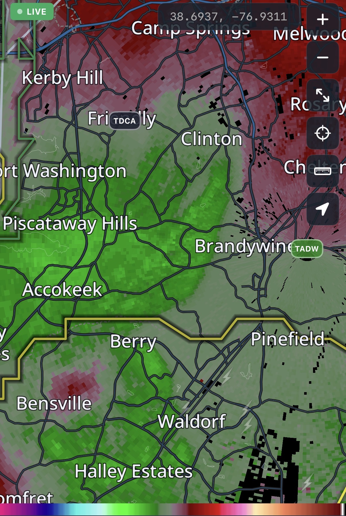
Seemed to peak around 9:15pm but broad like what was stated.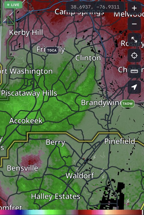
-
.21"
-
0.1” total for the day. Woof
-
Where are you staying?
-

Spring/Summer 2026 Pattern Discussion Thread
John1122 replied to Carvers Gap's topic in Tennessee Valley
Storms in Kentucky are around 90 miles north of my but they are putting on a light show. Flashing every second almost. -
Oh no! Was there a month ago and the weather was great minus 2, 5 minute showers
-

Central PA Summer 2026 Discussion/Obs Thread
canderson replied to Voyager's topic in Upstate New York/Pennsylvania
Picked up another .15” this evening. -
The evening storm put down a quick .30". By far, the heaviest rain I've seen in months. .55" total for the day, which is also the most in a day in months. That's how awful this summer has been.