buckeyefan1
-
Posts
13,471 -
Joined


.thumb.jpg.a628c2147efdff1c820341d5143d9237.jpg)


.thumb.jpg.f0d4bc69c0baaceecd7d96541f839c25.jpg)


-
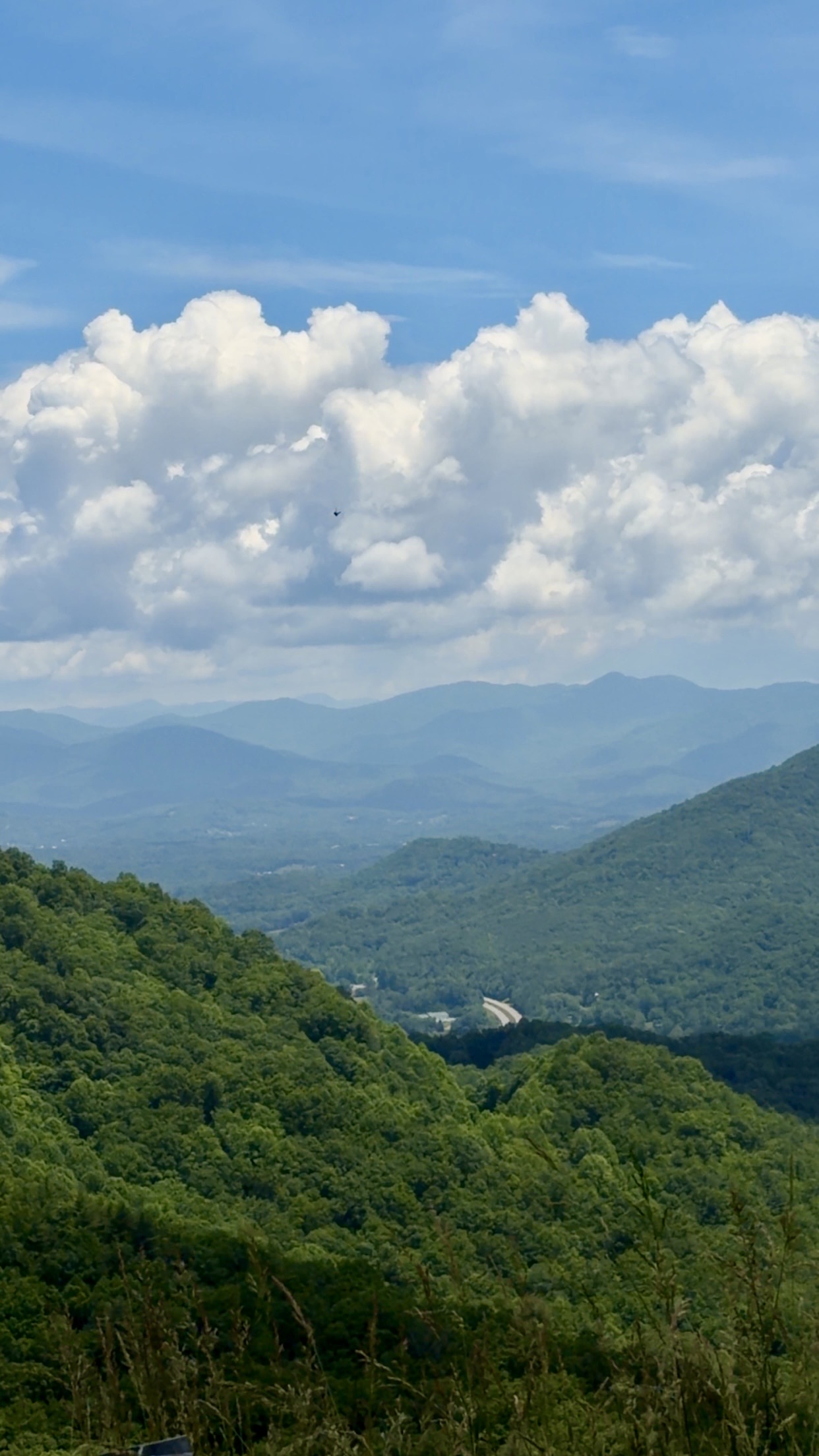
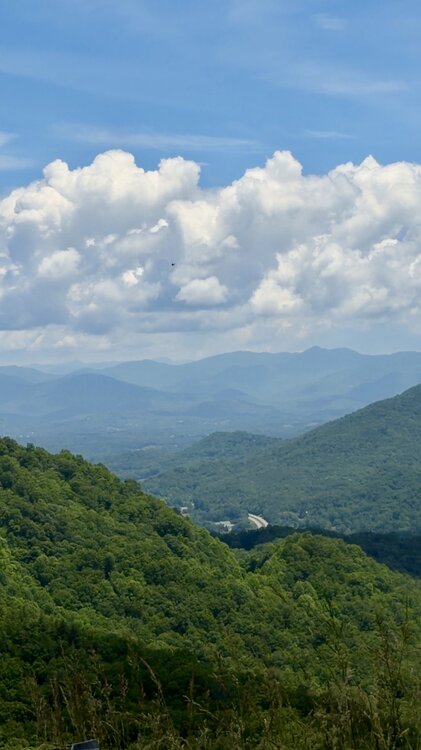
Welcome to mby Not the cliffs, but in the area and yes, it is pretty here
-
An afternoon drive around the neighborhood
-
Congrats on the new house my friend!
-
Hey ya'll it's raining big fat splat drops ~ 3" so far
-
I don't think anyone would have a problem with our own here. Storm PTSD is real for a lot of good people after Helene and it would be nice not to have all the weenie posts to scroll past. I've got my fingers crossed for a slow season, but as we know all too well, it only takes one
-
I swear it seems like I’ve been looking forever They’re everywhere. Even here. Anything close to affordable and decent is being bought by investment companies before anyone can get their offer in. It’s rough sigh
-
Any area I can afford to buy Anywhere from mby to Franklin towards Bryson to Cherokee to Batcave/Chimney Rock and up towards Pisgah. Seriously everywhere
-
Of course because I took vacation next week to go house hunting near ya'll
-
Sorry for the delay my friends
-
Here's Danville, VA
-
Here's the total snow instead of the 24hr snow multi run for mby
-
Would Danville be close to you?
-
-
AIFS Ens for mby
-
Good luck NC/VA peeps