All Activity
- Past hour
-
Will the wet pattern continue? Do we see a return to heat or remain seasonal?
-

2026-2027 Super El Nino
LakePaste25 replied to Stormchaserchuck1's topic in Weather Forecasting and Discussion
If it’s anything like 97-98 there will be a lot of coastal storms that are mostly rain. -
Mike Flannigan @mikeflannigan.bsky.social Follow Graphs showing cumulative area burned and carbon emissions in Ontario. Note in terms of area burned 2021 is the top spot but 2026 is top spot in terms of carbon emissions. Both are correct. The reason for this is that the 2026 fires are more severe - consumed more biomass (greater depth of burn). ALT ALT 7:12 PM · Jul 19, 2026 Everybody can reply
-
 Does anyone know of any sources that extends the cyclone phase diagram/tech outside of just tropical applications? I am well aware of this found Bob Hart's found here, https://moe.met.fsu.edu/cyclonephase/ I recall seeing this method applied to other cyclone types in the past, but I'm not finding those sites. I'm just been sort of frustrated by the models insistent on sub 1000 mb low spin up over NJ, amidst 570+ thickness in all radial directions. That latter circumstance is odd. It is not the typical baroclinic model ( to some degree ) low, which is physically necessary for extratropical cyclones. You know? warm sector, cold sector, cool sector. So I'm just wondering if we're seeing some kind of a quickly evolving hybrid warm core leaning type low pressure here... It may account for the more robust solutions, if some of the thermodynamic/UVM forcing were sharing space. Regarding rainfall... we seem to be peaking PWAT against climo - which is a pretty tall order. What comes along with that is bigger rain relative indicators - synergy of sorts. Basically, it is an increased chances that locations will observe bigger results from surprising smaller reasons to do so. That's what happens in heavier moistened events; suspending a fall column through them, what reaches the ground is closer to source. etc.. So this system is slow-ish moving. A training band even in a weaker total low that (say) proves the NAM/Euro are over sensitive at "boundary of existence" - which I don't see how this thing can be a 995 mb low unless the phase might expose it has shared thermodynamic processes... - could end up being hefty anyway. EDIT: okay I did find this... same site actually. heh. It does seem there's a bit of warmer lean to this thing's profile. interesting https://moe.met.fsu.edu/cyclonephase/ecmwf/fcst/archive/26072800/231.html
 -
 I don't have objections to his use of AI to assist with the analysis. But my read is that he essentially guided the AI to reach a desired conclusion concerning NCEI's "cooling". To illustrate how AI can be steered into erroneous conclusions, a climate contrarian and musician on X often engages in extreme misuse of AI (prompt injection and bullying based on the limited set of prompts he has posted e.g., he restricts the AI's to a strictly "first principles" analysis excluding substantial information then follows up asking that other things be excluded) to push multiple AI's into denying anthropogenic climate change. This case does not go to such extreme ends. My point is that one has to be careful when crafting prompts if one aims to reach strong, objective analytical outcomes. One can even ask AI to assess and revise the prompt before utilizing it. In my view, a better approach would have involved sharing the raw data for the stations, making no references to NCEI's adjustments in the prompt(s), sharing station move/TOBS information, other relevant information. etc. and then asking whether one could rely on the raw data, alone, over time to construct a representative or reliable long-term climate record. One could also ask the AI to provide an explanation/analysis and generate a reproducible methods section (assuming sufficient information is available). Afterward, if the output suggested that the raw data, alone, created a flawed climate record, one could upload the various papers describing NCEI's adjustments, and ask the AI to assess those adjustments, their impact on addressing the flaws in the climate record, etc.
 -
Can actually say we don’t really need that much today. First time in a long while for that statement. Picked a good time to be in Cancun this week. Fingers crossed for no flooding and damage to all.
-
i would like big totals plz
-
The 0z CSU guidance has a large area of 30% now as well. So that has upticked. Though the usefulness of the AI guidance is probably less on the day of.
-
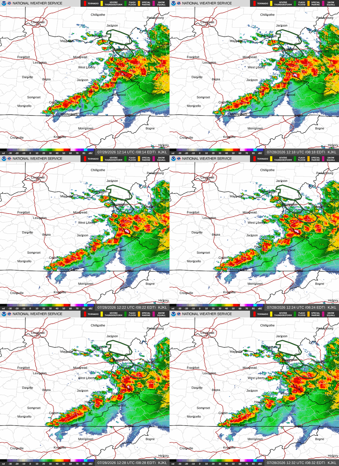
This could get interesting later on. Sent from my SM-G998U using Tapatalk
-
Hoping for a miss here as well, close to 10" here for July at this point.
-
NWS Raleigh mentions the possibility of it being a reduced threat to the west. I plan on chasing today if necessary from Raleigh northeastward.
-
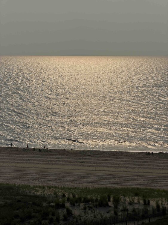
Nice morning in OC
-
Lots of cloud cover with it, though. I know @high risk indicated we may not need ABUNDANT sunshine - but I can't help feeling like we've seen this movie a million times.
-
I'm hoping it misses here-the big totals-still alot of cleanup ongoing after last week's flooding/damage
-
Yep, seems pretty straightforward to me. Models almost unanimously nailing that area that got hit last week too.
-
It looks like its leaving a gap in the middle
-
Turn the shower head down.
-

2026 Mid-Atlantic Severe Storm General Discussion
Eskimo Joe replied to Kmlwx's topic in Mid Atlantic
Hope this crapvection over this mountains sorts itself out and quick.- 1,504 replies
-
- 1
-

-
- severe
- thunderstorms
- (and 7 more)
-
yep-let's see how accurate the models are -N NJ and the HV look like the target
-
Looks like this will weaken and by this afternoon around 2 things should start heating up.
-
Brad Panovich just put out a great video about today's storms. The models or the model he was showing actually shows two waves of storms moving through. One wave starts around 2 to 3 today then another wave around 8 or 9 tonight. Looks like we could see some discreet cells developing as well. Fun times.
-
....so true!! ...and some already are doing dry runs in preparation..

-
- Today
-
His forecast was much better than other forecasts..
-

Central PA Summer 2026 Discussion/Obs Thread
canderson replied to Voyager's topic in Upstate New York/Pennsylvania
.02” rain sometime overnight.