All Activity
- Past hour
-
So far this is matching HRRR that did show that "bow" but if you looked at the wind gust product on those runs - there was almost no severe wind with it.
-
Rainbow falls is roaring

-

2026 Mid-Atlantic Severe Storm General Discussion
jewell2188 replied to Kmlwx's topic in Mid Atlantic
Happy that severe watch and flood watch verified lolI’m -
Well my area went back to look at that storm coming in, oh wait it is Ballenger Creek que up the split and then reform just to the East.
-

Augdewst 2026: Summer's Last Stand
Damage In Tolland replied to Prismshine Productions's topic in New England
Wow. I just figured since Dendy has been flooded all summer you were too . That’s similar to last summer there right? -
The storm that came thru here about 45-50 minutes ago should be knocking on your door any minute.
-
Yep, I am at 2.20" since June 30th. I live about 10 miles south of Rattlesnake. The surface is very dry. I thought we would finally get some real rain tonight but it looks like that won't happen. Arrggghhhh
-
Alleghany County VA. Between Covington and Clifton Forge.
-
Damn going to be a pretty awful bust for MBY. Euro was steady with 1.5”+ today for many runs.
-
Looks like a fizzler up here. Congrats to Moco/DC.
-
2-3 inches of rain per hour rates right now with over .7 in the gauge.
-

2026 Mid-Atlantic Severe Storm General Discussion
SolidIcewx replied to Kmlwx's topic in Mid Atlantic
Hook on that storm in FFXC -

Augdewst 2026: Summer's Last Stand
HIPPYVALLEY replied to Prismshine Productions's topic in New England
Pouring rain right now, kind of caught me off guard. Probably won’t last long but good drink for the plants. -
Heavy rain moving back in!
-
Mushrooms are going nutz down here too. Recent rain and consistent high humidity are the cause. Especially the high humidity. It's been stupid humid down here for weeks. Looking so forward to the first legit Canadian front. It's been a tuff summer working outside
-
I just started getting decent thunderstorm rains ~7PM. This month so far has been quite beneficial for the lawns and may allow me to keep the sprinklers off the rest of the month!
-

E PA/NJ/DE Summer 2026 Obs/Discussion
Birds~69 replied to PhiEaglesfan712's topic in Philadelphia Region
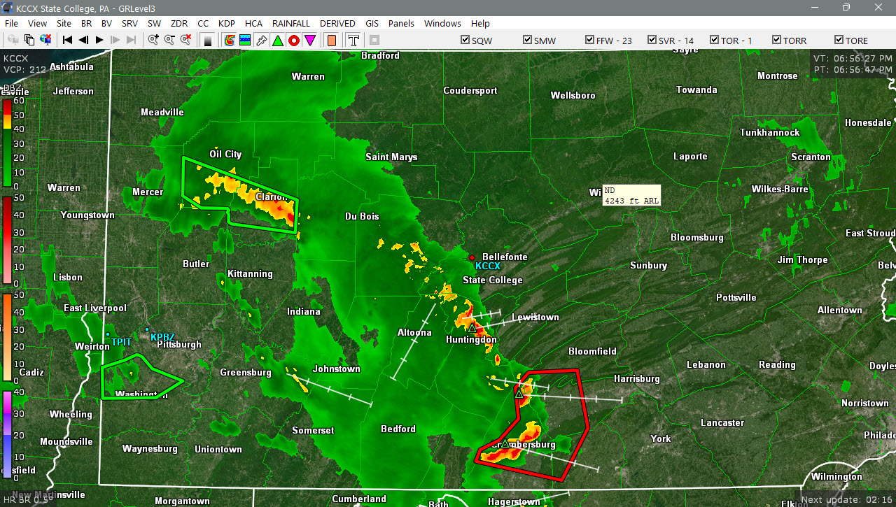
69F/DP 65F Line around State college...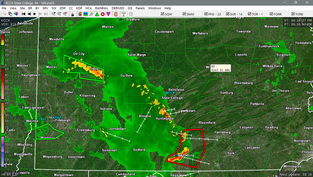
-
Resonant thunder heard from miles out. I hope this first line just dumps.
-
Loud thunder, several nearby CG strikes, and very heavy rainfall here with some small hail mixed in. No wind at all though.
-
 sildenafil online or sildenafil online Generic Viagra online https://images.google.co.kr/url?q=https://mencarevirtual.com Viagra generic over the counterand http://www.1gmoli.com/home.php?mod=space&uid=967759 buy Viagra over the counter [url=https://toolbarqueries.google.am/url?q=https://mencarevirtual.com]cheap viagra[/url] viagra without prescriptionand [url=https://www.0468wudi.com/home.php?mod=space&uid=253568]Order Viagra 50 mg online[/url] Generic Viagra online
 - Today
-

2026 Mid-Atlantic Severe Storm General Discussion
Eskimo Joe replied to Kmlwx's topic in Mid Atlantic
.CHO storms go brrr- 1,966 replies
-
- 1
-

-
- severe
- thunderstorms
- (and 7 more)
-

2026 Mid-Atlantic Severe Storm General Discussion
Ephesians2 replied to Kmlwx's topic in Mid Atlantic
Charlottesville is the storm magnet this month. Seems like every time I check the radar to see if I am finally getting rain down here, there is a cell over Charlottesville.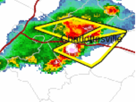
- 1,966 replies
-
- 1
-

-
- severe
- thunderstorms
- (and 7 more)
-
Showers and perhaps a thundershower are likely into this evening into early tomorrow. Following the frontal passage, Tomorrow through Wednesday should feature temperatures in the lower to middle 80s, along with partly to mostly sunny skies. Another cold front could bring some showers or thundershowers to the region Wednesday night or Thursday. The frontal passage will be followed by a reinforcing shot of cooler air. Thursday and Friday could see highs in the upper 70s to lower 80s. The ENSO Region 1+2 anomaly was +4.1°C and the Region 3.4 anomaly was +2.6°C for the week centered around August 6. For the past six weeks, the ENSO Region 1+2 anomaly has averaged +3.72°C and the ENSO Region 3.4 anomaly has averaged +2.15°C. The ongoing strong El Niño, which has reached super El Niño threshold, will continue to strengthen through the summer. The SOI was -17.84 today. The preliminary Arctic Oscillation (AO) was -0.420 today. Based on sensitivity analysis applied to the latest guidance, there is an implied near 53% probability that New York City will have a warmer than normal August (1991-2020 normal). August will likely finish with a mean temperature near 76.3° (0.2° above normal). Supplemental Information: The projected mean would be 1.1° above the 1981-2010 normal monthly value.
-
Dud out here
-
Activity has picked up on that cell by Dulles.