All Activity
- Past hour
-

11/8-11/10 First Snow and Lake Effect Event
KeenerWx replied to Geoboy645's topic in Lakes/Ohio Valley
Switch to snow was late but not denied. Surprisingly efficient at covering the ground thus far. First flakes & measurable snowfall booked - Today
-
If this verifies, we could be looking at our first winter storm threat around or after Thanksgiving. Maybe more 40N-north. 18z GFS ensemble mean at 384hr also had a pretty strong -EPO developing. Basically, the NAO is negative for the next 15 days, then the block retrogrades to NE Canada, just when the Pacific changes to more -epo/+pna around Nov 24-25 and after. That actually creates a window for a trough to track across the US, under the -NAO ridge in NE Canada, giving us a chance for a storm to hit colder air after Thanksgiving. The H5 in the map below is good, but we probably need a few days to flush out the old slightly warmer pattern. Still a long way to go, but it's looking good for at least below average temps beyond Day-15, based on current long range models.
-

11/8-11/10 First Snow and Lake Effect Event
TheNiño replied to Geoboy645's topic in Lakes/Ohio Valley
Official first flakes here. Also “ greater than 3in per hour goddamn!” Hope someone here gets under a band (and shares pictures with the class of course).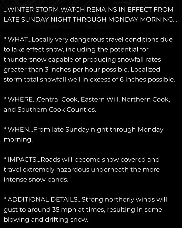
-
0.56" of rain here.
-
https://www.weather.gov/btv/froude The paper by BTV NWS linked above is a fantastic overview of the role the froude number plays in orographic precipitation. When cyclonic flow sets up over the mountains, flakes are flying somewhere
-

11/8-11/10 First Snow and Lake Effect Event
HillsdaleMIWeather replied to Geoboy645's topic in Lakes/Ohio Valley
Snow is coating the grass rapidly here, God I've missed it -
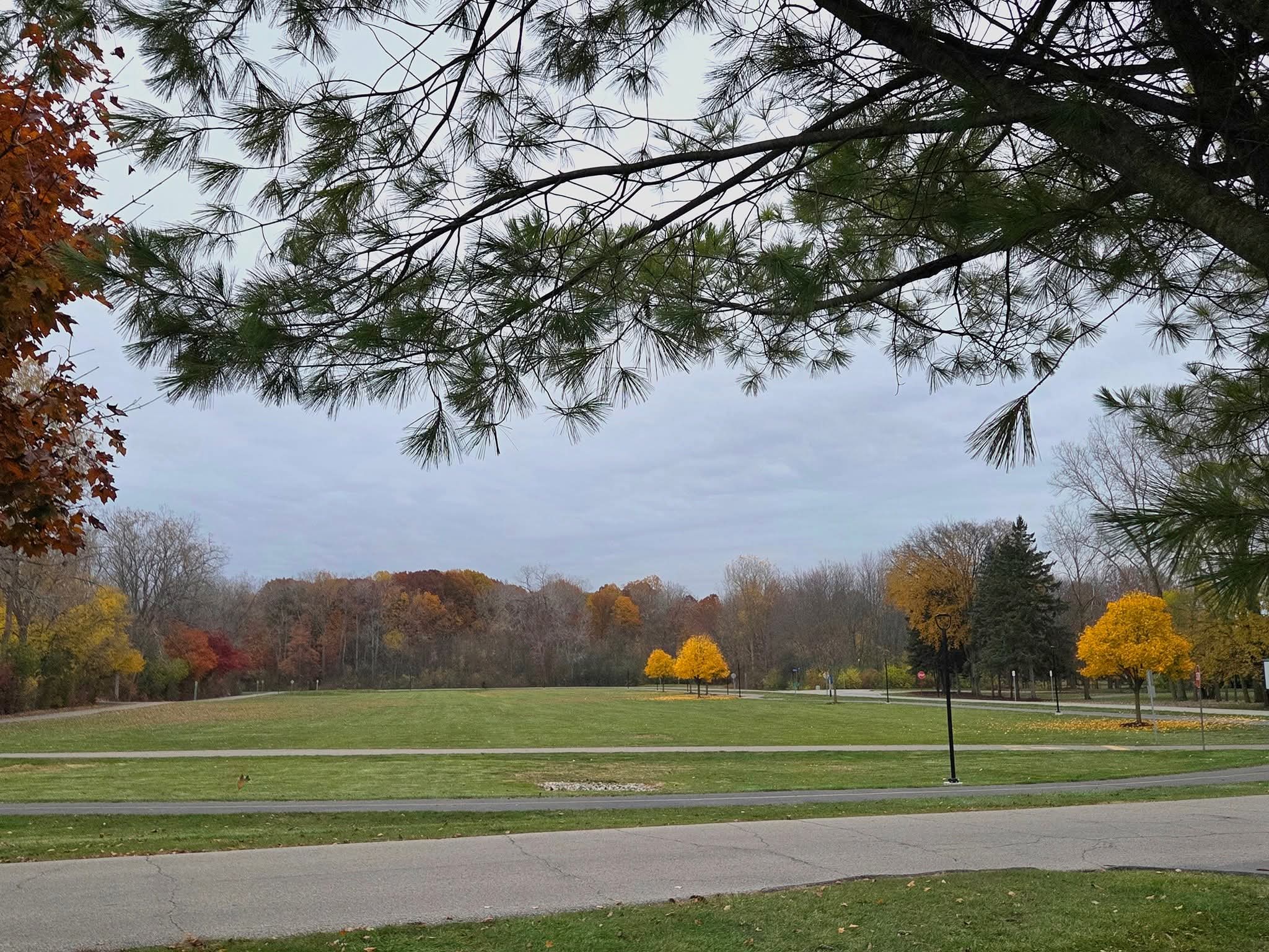
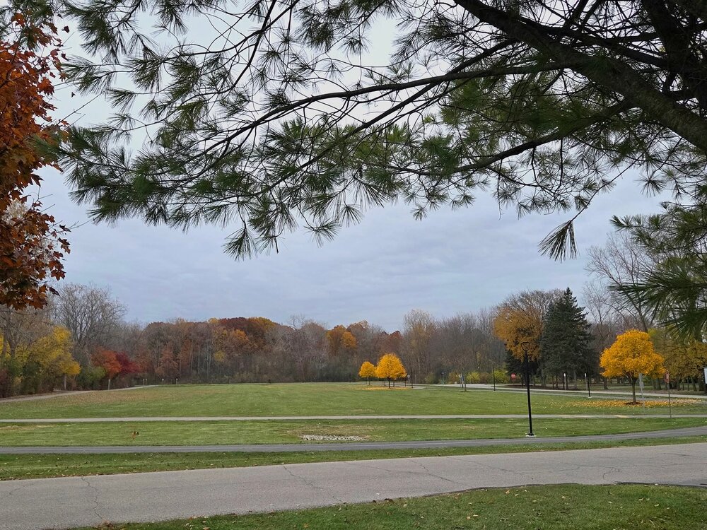
Early November. Brisk air and gray skies.
-
Things I’ve never had to pay attention to. Looks wintry up at SLK for the next week. Just about perfect timing for my trip up.
-

11/8-11/10 First Snow and Lake Effect Event
sbnwx85 replied to Geoboy645's topic in Lakes/Ohio Valley
It took a couple of hours but we finally started seeing accumulation. DAB+ -
The models keep getting better! That upper level low pass looks classic across all guidance. Pretty excited for this one.
-
6th freeze for here
-
Did someone say...snow showers? Greetings fellow nerds, it's been a while. Today was my bday and you cannot ask for a finer 11/8 around here.
-
Garrett County Airport K2G4 came back but none of the others have. KFDK, KESN, and KMTN have been sending METAR's manually during hours that the control tower are open.
-
The developing pack is definitely taking a hit, but in high elevations it should survive the warm up. An extended upslope period is still showing up in guidance and it looks like there will be 2 (or 3) vorticity packets moving through the area through the end of next week to shake the upslope snowglobe. Hopefully soon we're talking about Froude numbers and critical flow, when those terms enter the conversation it's always a sign of a great pattern.
-
I'm nervous. I want snow right now. lol. We need a good base for snowmobiling, DJF be damned.
-

November 2025 general discussions and probable topic derailings ...
cleetussnow replied to Typhoon Tip's topic in New England
Ah. Ct. River Valley. Famous snow hole. The giveaway is the mosquito with the dog in its mouth. -
67 today.
-
https://www.nhl.com/news/mel-bridgman-dies-at-70
-
All gone here except a few left on Oaks.
-
There's going to be several area's get more than Forecasted.
-

November 2025 general discussions and probable topic derailings ...
Snowedin replied to Typhoon Tip's topic in New England
Just a wee bit chillly out there today with a high chance of napage! Seriously, might have to consider moving down here lol. The weather has been just insanely nice.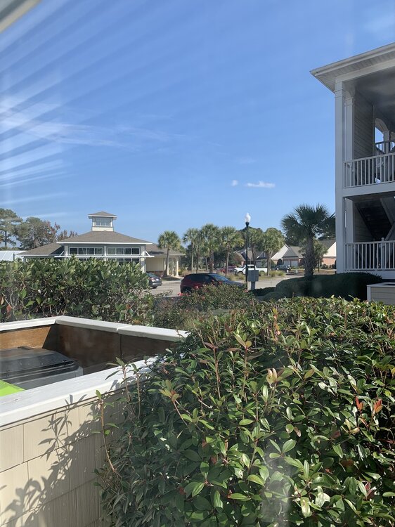
-

11/8-11/10 First Snow and Lake Effect Event
cyclone77 replied to Geoboy645's topic in Lakes/Ohio Valley
Ripping cotton balls right now. Ground has quickly whitened. -
Looks like most of the hi-res models are showing some convective streaks of snowfall on Monday into Monday night. If that truly happens, someone who gets under one will have a nice surprise. Temps are generally in the 20s for most areas where they happen.
-
Notre Dame tv snow game.
-

November 2025 general discussions and probable topic derailings ...
Torch Tiger replied to Typhoon Tip's topic in New England
do you bang this out of your cruiser? Crooklyn?