All Activity
- Past hour
-

Septorcher 2026 Discussion - Endless Summer
JACKASS replied to Damage In Tolland's topic in New England
-

Septorcher 2026 Discussion - Endless Summer
Baroclinic Zone replied to Damage In Tolland's topic in New England
Nice drank today. Looks like about 0.60” per radar estimates. -
lol
-
Septorcher 2026 Discussion - Endless Summer
JACKASS replied to Damage In Tolland's topic in New England
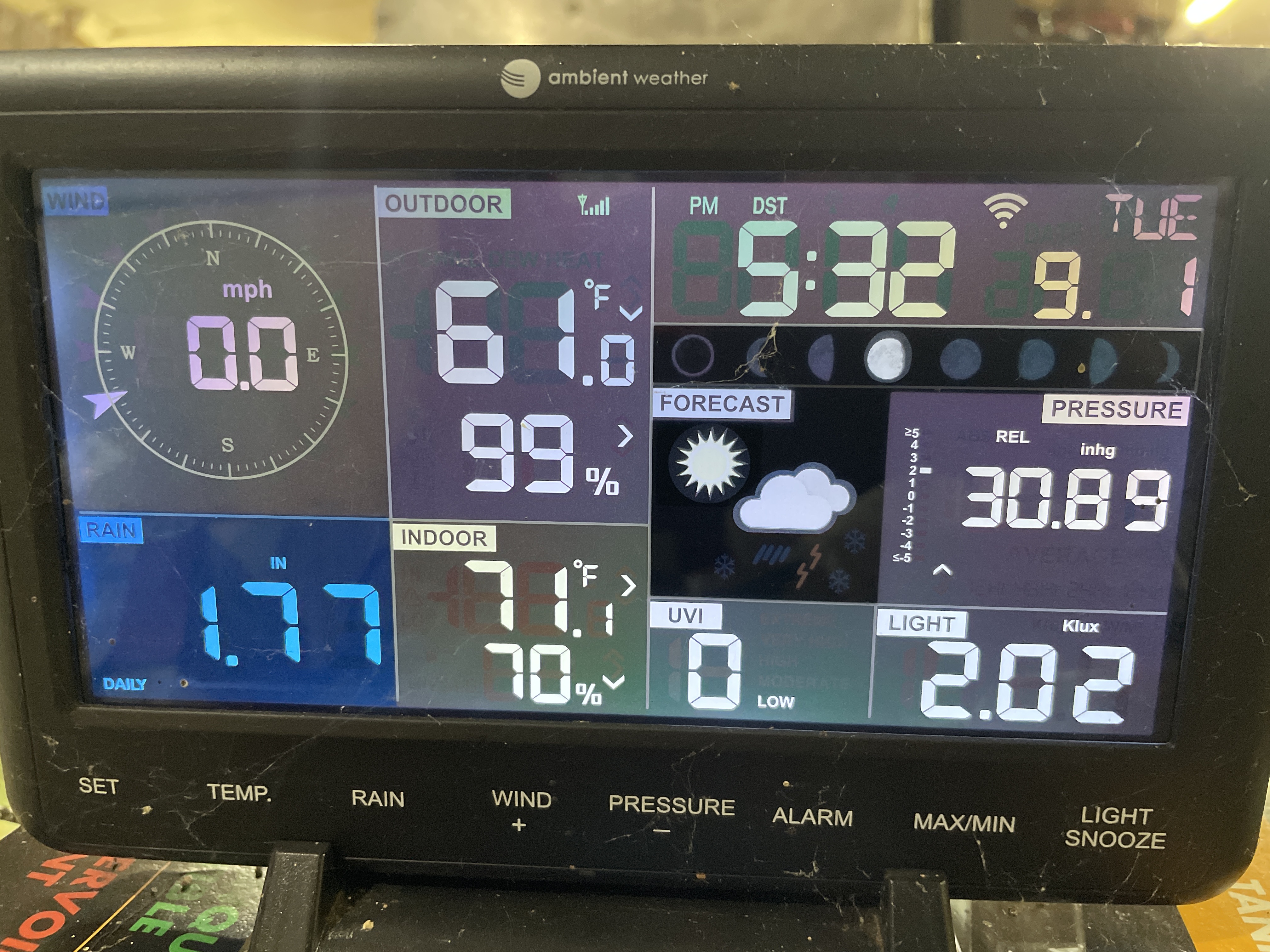
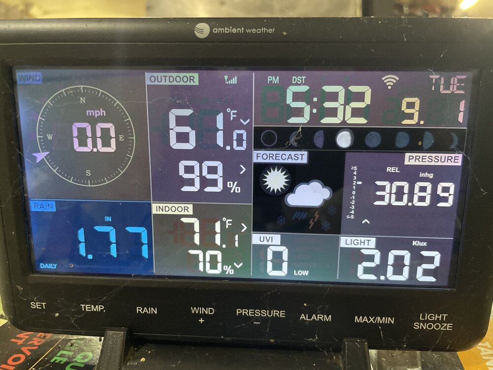
Muggy Meter fail? I’m wearing a friggin sweatshirt. -

Occasional Thoughts on Climate Change
donsutherland1 replied to donsutherland1's topic in Climate Change
For reference: The first report on the Nepal glacial collapse event: https://hirisk.org/wp-content/uploads/2026/08/RHA_NP3_RasuwaFlood-1.pdf -
Not sorry to be missing the heat back home. Getting ready to head downtown for tonight’s O’s game. 69 - 69 is niiiice, but 70 - 69 would be better.
-
 http://quickph.shop/# new pharmacy online
 -
 Similarities to 2025 over the past 5 months 2025 Apr-July 4/4 months -PNA 2026 Apr-July 4/4 months -PNA 2025 Aug +PNA 2026 Aug +PNA 2025 Apr-Aug 5/5 months +AO 2026 Apr-Aug 5/5 months +AO
 -
High of 94° today in Reisterstown. First 90°+ reading since August 11th at my location.
-
Differences are PDO (97-98 was super +PDO so careful what we wish for) and 1965-66 was low solar (we’re high but descending). I think a blend of these will land us close to what’ll happen this winter - milder and wetter than normal with elevated big dog potential. Other than that, not a whole lot to parse. Key thing to watch is where and how strong the Canadian ridge is. Too strong and too far east, storms either suppressed or rain. More west, we get colder air with a still active STJ.
-
Yeah 95 here today
-
I think everything stays west of the Delaware . Perhaps western portions of NJ will get some strong storms later this evening .
-
Currently 80F...DP 74/RH 89%.
-
Dumb question: When folks are referencing the CAMs here, which models are you looking at. I assume the HRRR, NAM Nest, RRFS. Any others? FV3, WRF-ARW?
-

2026-2027 Record-breaking El Nino
The Iceman replied to Stormchaserchuck1's topic in Weather Forecasting and Discussion
I’m even further north(20 miles NE of Philly) and have had 2 seasons with 1.5” or less since 2019-2020. (2019-20 and 22-23) -
I'm wondering how this winter might be different for myself down in Charlottesville. Obviously, I'm still in the hope for a big storm category but otherwise are there any meaningful differences?
-
No relief at night either. Will be flirting with record high mins locally.
-

Septorcher 2026 Discussion - Endless Summer
Damage In Tolland replied to Damage In Tolland's topic in New England
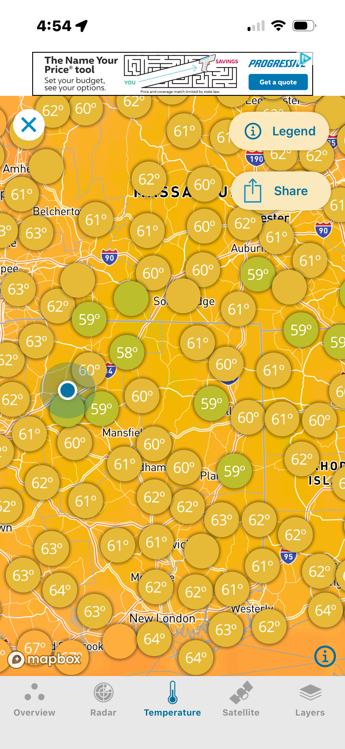
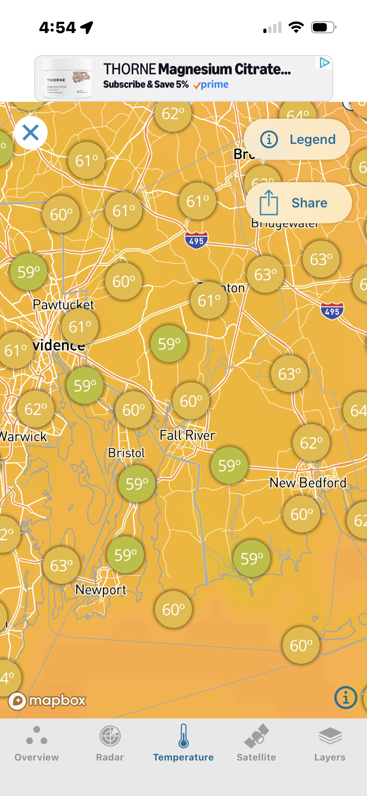
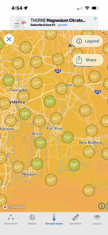
There’s a bunch of upper 50’s though. I’m trying to figure out where this cool pocket came from . I mean your dews are higher .. even Scooter on the ocean is warmer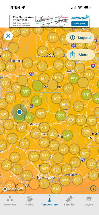
-
yeah i can see us getting a few more waves of this. That Oct 2019 heatwave was insane. but maybe we get very pleasant temps in Nov (60s / 70s)? obviously we're paying for the incredible late summer we had last year. I told you guys the bill would come due.
-
 Under holding strong
 -
Ens are pretty rough. EPS goes cool for a bit around labor day before running back the heatwave we're in by late next week. CMCE keeps things cooler with more backdoor fronts. GEFS is a bit of a mix between the two that keeps us on the south side of any fronts, but has colder air up in PA.
-
Where will it go over next few days?
-

Septorcher 2026 Discussion - Endless Summer
dendrite replied to Damage In Tolland's topic in New England
67F and partly sunny here. You have the coldest non-mountainous temp east of the Rockies. Congrats. -
they must think more develops later as it runs til midnight but yeah radar is not exciting to say the least
-
Mixed feelings about this severe watch since there is only 1 severe warning in PA so far and the heavy precip echoes coming out of eastern PA into NJ are shrinking