All Activity
- Past hour
-

E PA/NJ/DE Summer 2026 Obs/Discussion
MGorse replied to PhiEaglesfan712's topic in Philadelphia Region
More convection incoming. 0.14” so far today. Rather muggy out. 77F. -

Central PA Summer 2026 Discussion/Obs Thread
Blizzard of 93 replied to Voyager's topic in Upstate New York/Pennsylvania
Severe Thunderstorm Warning Severe Thunderstorm Warning PAC041-043-067-099-190215- /O.NEW.KCTP.SV.W.0208.260719T0131Z-260719T0215Z/ BULLETIN - IMMEDIATE BROADCAST REQUESTED Severe Thunderstorm Warning National Weather Service State College PA 931 PM EDT Sat Jul 18 2026 The National Weather Service in State College PA has issued a * Severe Thunderstorm Warning for... Cumberland County in south central Pennsylvania... Southwestern Dauphin County in south central Pennsylvania... Western Juniata County in central Pennsylvania... Perry County in south central Pennsylvania... * Until 1015 PM EDT. * At 931 PM EDT, severe thunderstorms were located along a line extending from Mexico to Spruce Hill to East Waterford, moving southeast at 35 mph. HAZARD...60 mph wind gusts. SOURCE...Radar indicated. IMPACT...Expect damage to roofs, siding, and trees. * Locations impacted include... Harrisburg, Carlisle, Lower Allen, Colonial Park, Progress, Mechanicsburg, Camp Hill, New Cumberland, Enola, Steelton, Lemoyne, and Plainfield. This includes the following Interstates... The Pennsylvania Turnpike from mile markers 205 to 239. Interstate 81 from mile markers 31 to 71. Interstate 83 from mile markers 40 to 50. Interstate 283 near mile marker 2. PRECAUTIONARY/PREPAREDNESS ACTIONS... Stay inside a well built structure and keep away from windows. Very heavy rainfall is occurring with these severe thunderstorms, and may lead to flash flooding. Do not drive your vehicle through flooded roadways. && LAT...LON 4036 7775 4038 7775 4040 7773 4045 7749 4064 7737 4029 7676 4022 7683 4022 7691 4020 7693 4019 7691 4019 7693 4016 7691 4017 7695 4015 7698 4015 7703 4003 7719 4000 7737 TIME...MOT...LOC 0131Z 313DEG 32KT 4054 7736 4041 7744 4037 7764 HAIL THREAT...RADAR INDICATED MAX HAIL SIZE...<.75 IN WIND THREAT...RADAR INDICATED MAX WIND GUST...60 MPH -

Central PA Summer 2026 Discussion/Obs Thread
TheDreamTraveler replied to Voyager's topic in Upstate New York/Pennsylvania
Yeah we just got issued a severe thunderstorm warning lol -

2026-2027 Super El Nino
michsnowfreak replied to Stormchaserchuck1's topic in Weather Forecasting and Discussion
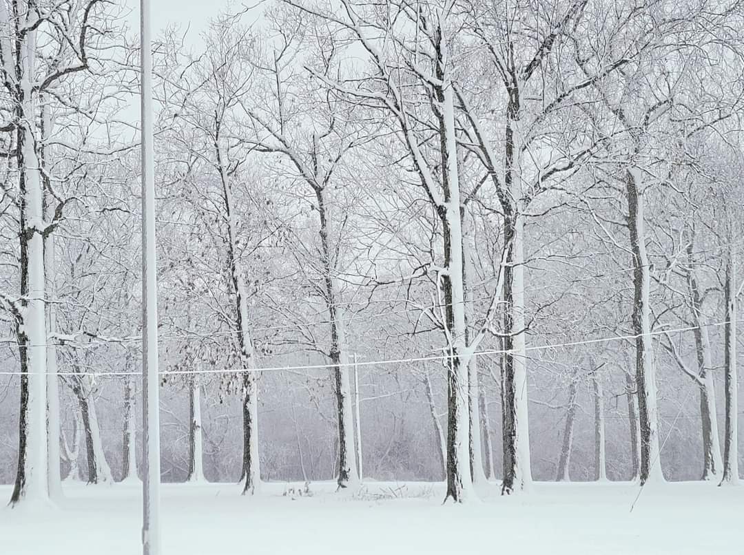
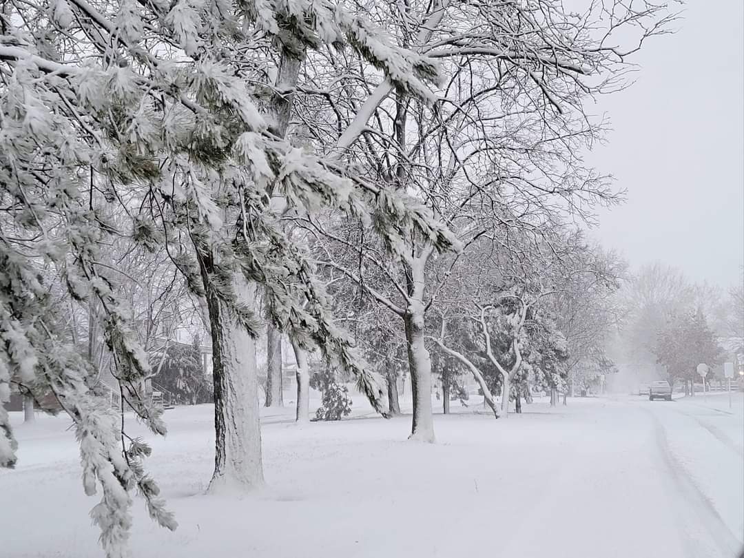
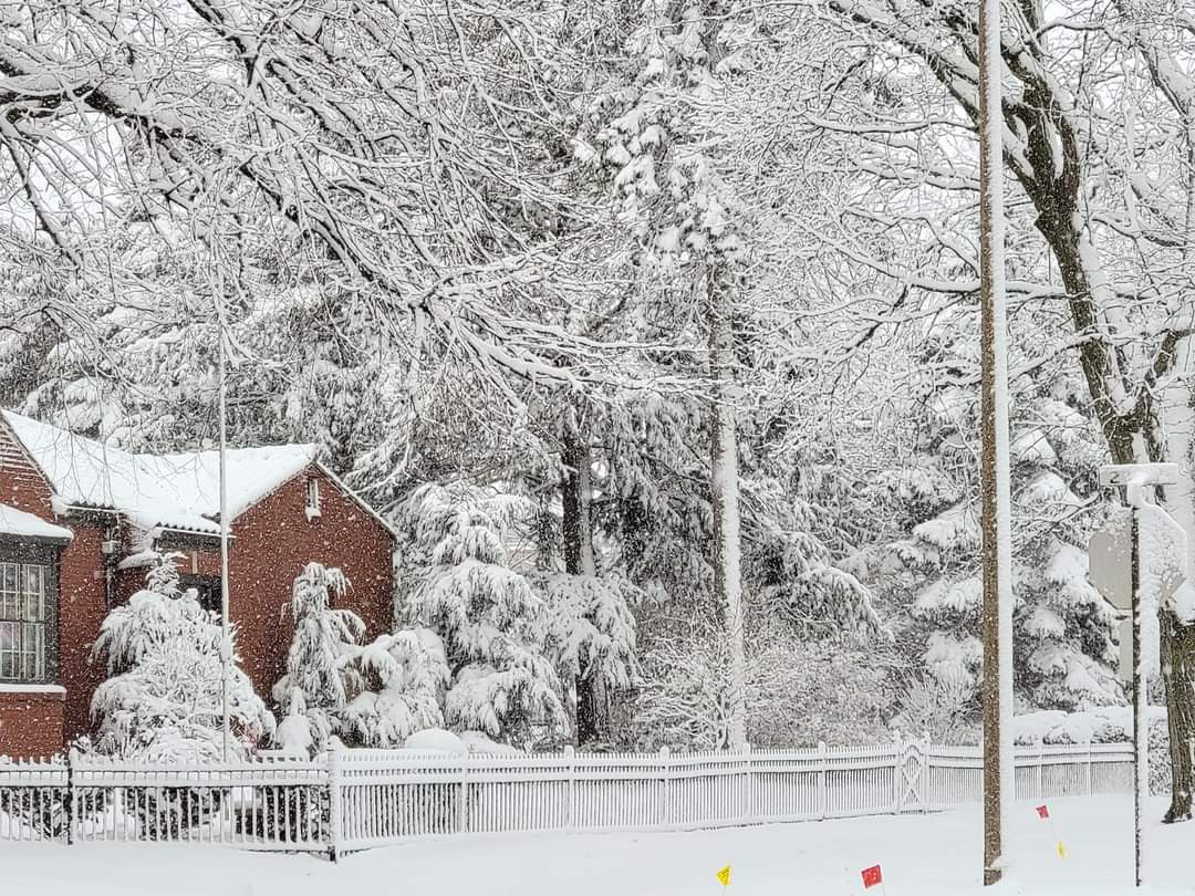
Its absolutely gorgeous. The past 2 winters here were nearly all powder. Here's the thing...powder is my absolute favorite. Its beautiful and last winter seemingly every night the snow glistened like diamonds. But I realized that even though I was getting my favorite powder, I missed a good wet snow. The winter of 2022-23 was the last time we had lots of paste snow. Below are 3 different 2023 snowstorms.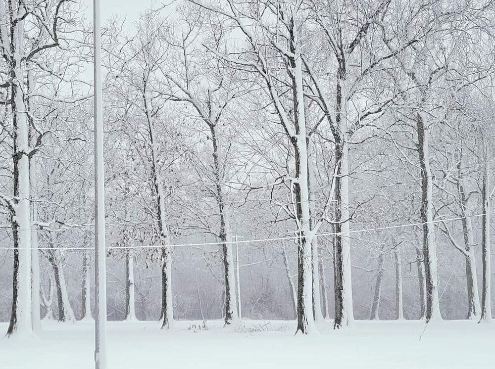
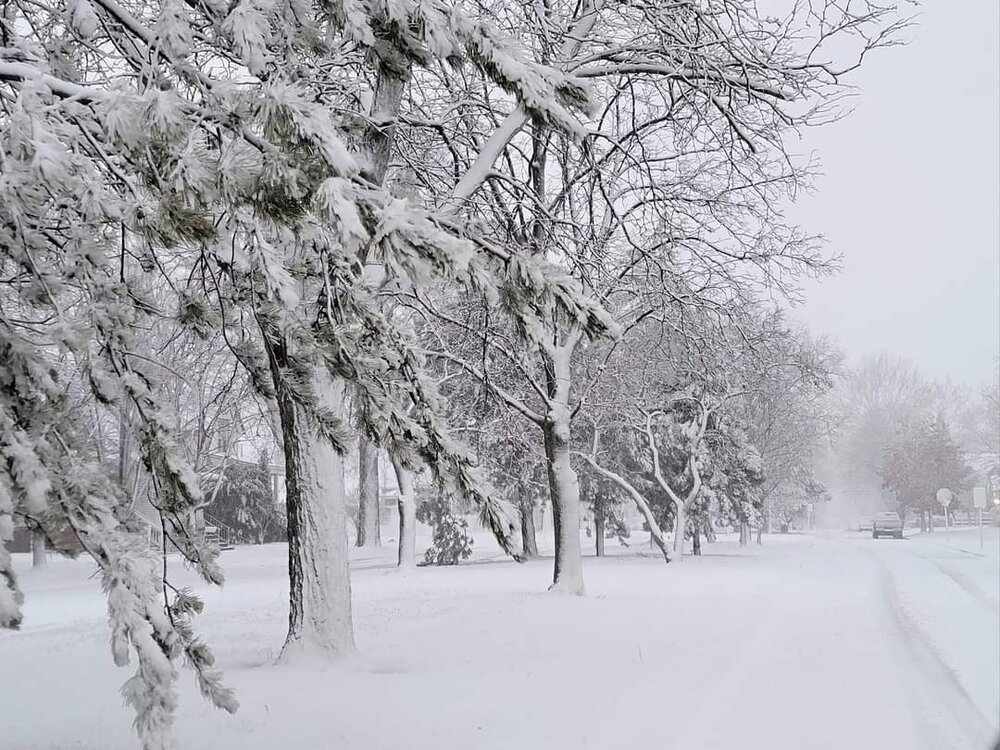
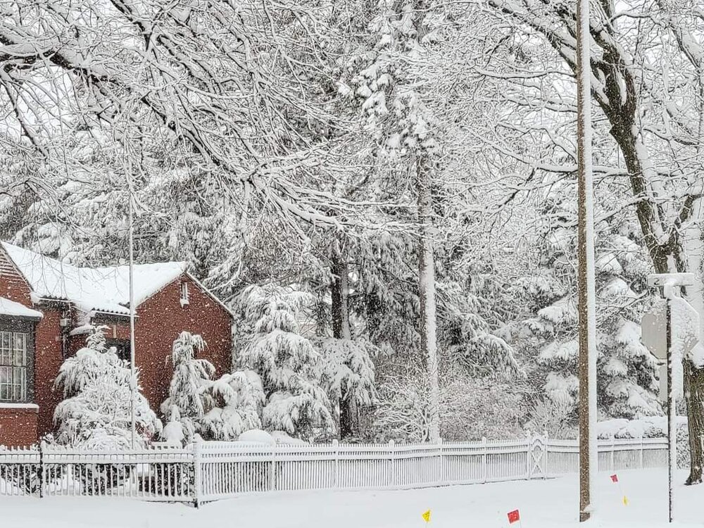
-
Yeah Center might be one of the least valuable positions along with Punter. Ravens ownership has played a lot of Xbox Madden.
-

Central PA Summer 2026 Discussion/Obs Thread
canderson replied to Voyager's topic in Upstate New York/Pennsylvania
Perhaps I’m an idiot lol Thar storm working down from state college isn’t weakening -
It looked like the War of the Worlds from my balcony. Got some vid of some of the lightning. The humidity earlier felt tropical, so I’m not surprised the sky opened up like it did.
-
I'm not too far away off route 24. Haven't seen a storm like that in a long time. The lightning was insane!
-
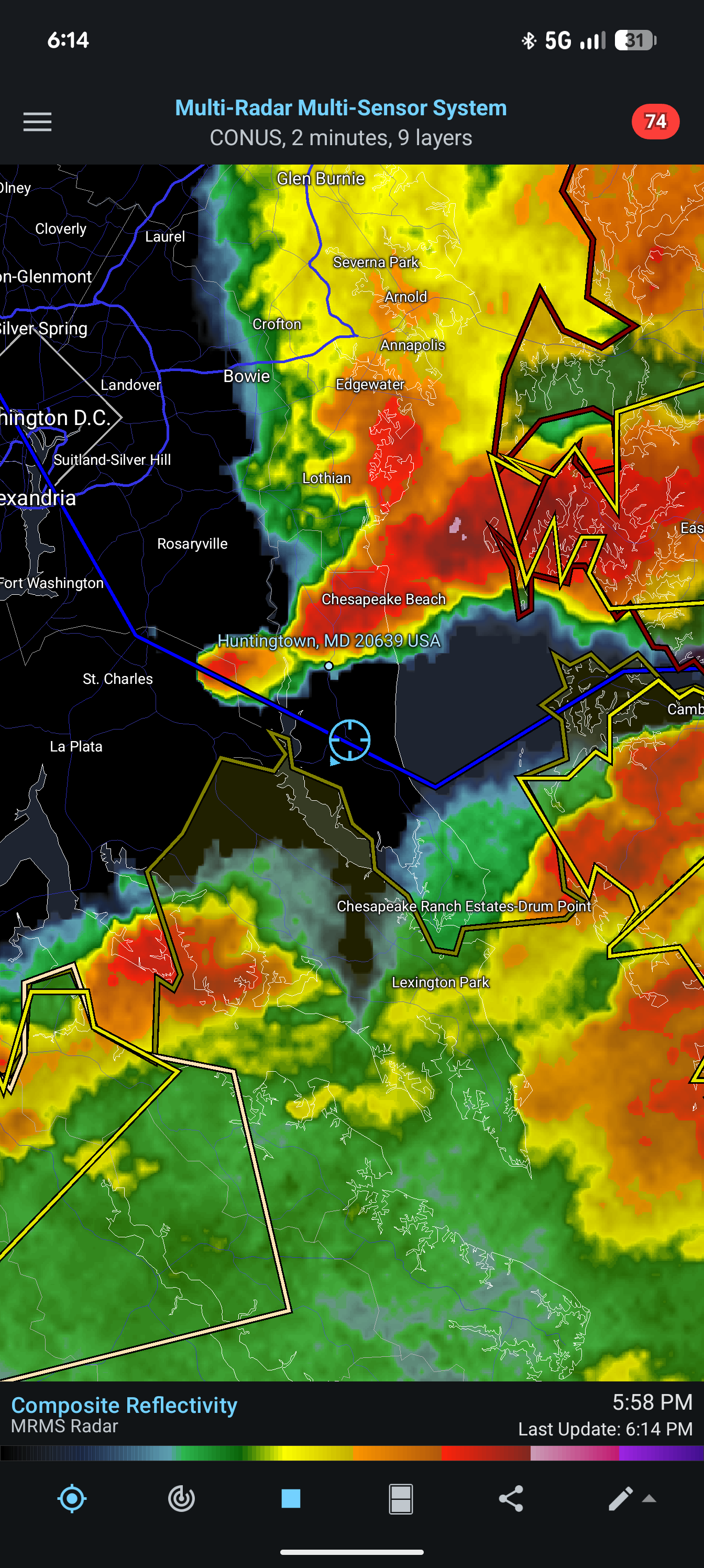
Thats quite the line dropping se from central pa. HRRR looks nothing like radar.
-
Its at the end of the NAM range... but those weren't very friendly soundings Tuesday night across the region Yes, I know things will change, but still... DCA at 81 (03z Wednesday) IAD at 84 (06z Wednesday)
-
At my Aunt's in East Islip for dinner, definitely had some gusts in the 50+ range here, I kept checking to see if a warning was issued but nothing. Most impressive storm on the south shore in a couple years. Up to 1.92" at home
-
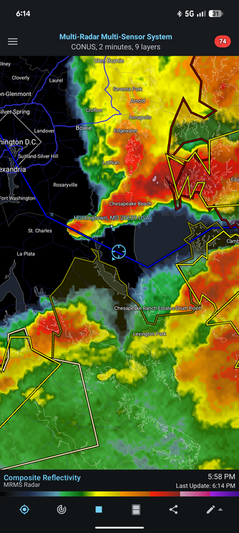
Pretty active day per the LSR https://forecast.weather.gov/product.php?site=lwx&issuedby=LWX&product=LSR
-

E PA/NJ/DE Summer 2026 Obs/Discussion
JTA66 replied to PhiEaglesfan712's topic in Philadelphia Region
Now that the latest round of storms has moved through, I’m sitting at a little more than 1.00” for the day. Can’t remember the last time I had four rounds of thunderstorms in 12 hours. -
Yeah, this pretty much sums up the last 12mo. What a waste.
-

Saturday, July 18, 2026 Thunderstorm/Severe Weather Potential
Typhoon Tip replied to weatherwiz's topic in New England
700 mil bar winds being west Northwest, north of the warm front is the problem It kept it pinned down there in southern PA, despite having southwest wind at the surface on either side of the boundary. It gets sawed off aloft. All we get is residual elevated convective blips amid strata rains. Cool and humid. that phenomenon of the winds bending back southeast north of the warm front preventing it from coming in as something I’ve seen in this part of the country quite frequently actually over the decades I’ve lived here. Meanwhile, warm front looks in the pgf like it’s in a laminar flow/no resistance, but they just don’t move because of it. -

Saturday, July 18, 2026 Thunderstorm/Severe Weather Potential
Hoth replied to weatherwiz's topic in New England
Just torrential rain. Considering how hot it's been, the yard is remarkably lush. -

2026-2027 Super El Nino
snowman19 replied to Stormchaserchuck1's topic in Weather Forecasting and Discussion
@donsutherland1 -
After striking out with the storms yesterday we got a good storm today. Nothing severe but it was nice to get some heavy rain and thunder.
-
My mom’s house on the southwest side of town had minor damage and no power, worst missed her north. Rivera Beach area got hit hard.
-
I was surprised driving home from the beach that there wasn’t a leaf out of place once north of merrick road. Down on the barrier island the few trees there are, which are very used to wind had branches and leaves down everywhere. Signs blown down all over the park as well. Fits with a localized microburst. .
-
0.01 at home today from round 1 stuff. Raining now and watching that line drop out of State College.
-
Seeing a lot of tree damage pics from pasadena.
-
Same here - some sprinkles today - 0.00 today Remains at 1.24 for the month...
-
Saturday, July 18, 2026 Thunderstorm/Severe Weather Potential
bristolri_wx replied to weatherwiz's topic in New England
thunder and downpours here for two hours now... these things are moving fast though. -
Kdix radar was hit by lightning