All Activity
- Past hour
-

Feb 10-11 Mid Week Minor Event - Ride the hot hand?
radarman replied to HoarfrostHubb's topic in New England
Some kind of sleety snow crap but looks like a bust -
 Damn this is sig worthy lmao Some of the most outstanding posts are made up in here when people are getting disgruntled.
 -

Feb 10-11 Mid Week Minor Event - Ride the hot hand?
ma blizzard replied to HoarfrostHubb's topic in New England
went from flurries to moderate within a couple mins -
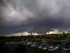
 Satellite as it was making landfall
 -

Feb 10-11 Mid Week Minor Event - Ride the hot hand?
The 4 Seasons replied to HoarfrostHubb's topic in New England
? i dont know what you were expecting, you still look fine for 1-2 -

Central PA Winter 25/26 Discussion and Obs
Blizzard of 93 replied to MAG5035's topic in Upstate New York/Pennsylvania
Detailed & entertaining Forecast Discussion from CTP on the Sunday snow chance. KEY MESSAGE 2: Continuing to monitor the potential for winter weather on Sunday. Over the next few days, a closed low currently off the NorCal Coast will drop southward as it opens a bit, and take a turn to the east after reaching the Baja Peninsula. The trough swings east over the srn US, and eventually develops a sfc low as Gulf moisture is incorporated. Timing and occurrence are fairly well- agreed- upon at that point. Mud gets thrown onto the crystal ball as divergence in track of the low and depth/residence of the cold air over the ern US are seen in the latest deterministic forecasts. If precip gets into PA, the hints are still there that the air will be cold enough in PA to have some snow at first, but not a slam dunk certainty. As alluded to, the GFS and ECMWF, and ECMWF-AI latest runs are keeping the low track flatter. That would make much, if not all, of the precip miss PA to the south. But, ensemble means from both sides of the pond and nord de la frontiere make precip well into PA with the CMCE mean pushing the most QPF into PA - and much farther north. The latest NBM guidance has trended lower with PoPs, which matches recent trends in guidance. The best chance for precipitation is currently across southern PA. Additional shifts/modifications are likely and we will continue to keep an eye for a more consistent/longer trend to make tweaks to this weekend`s forecast. -

Feb 10-11 Mid Week Minor Event - Ride the hot hand?
CoastalWx replied to HoarfrostHubb's topic in New England
You’ll probably get 1 to 2 -
Pretty sunset tonight
-
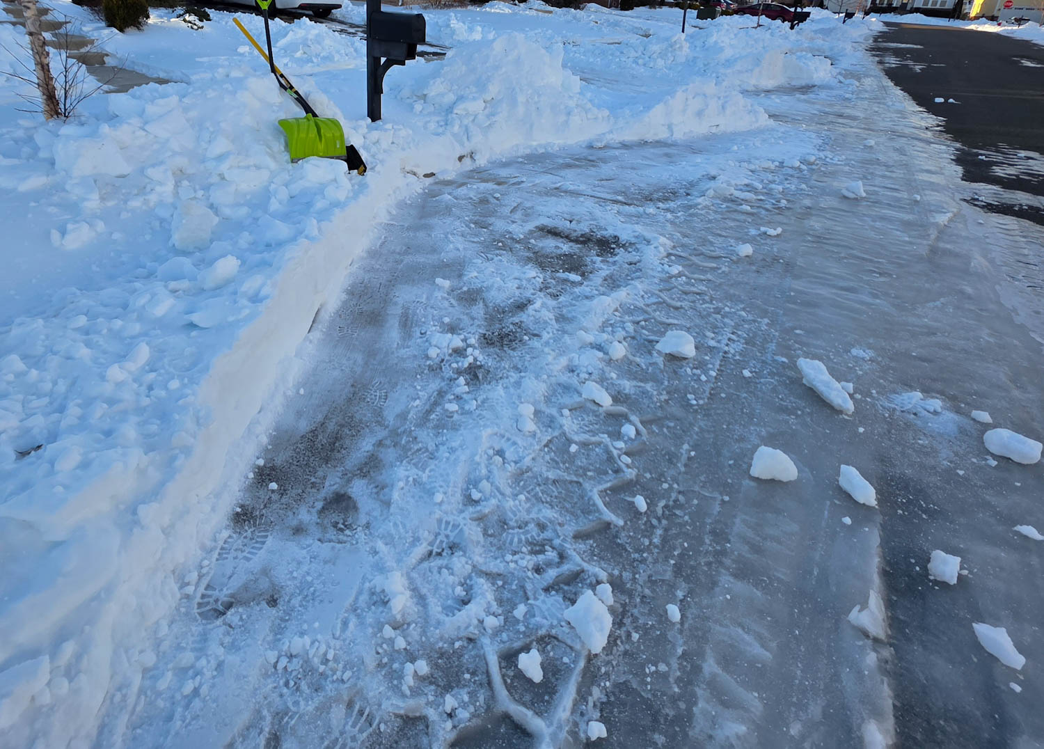
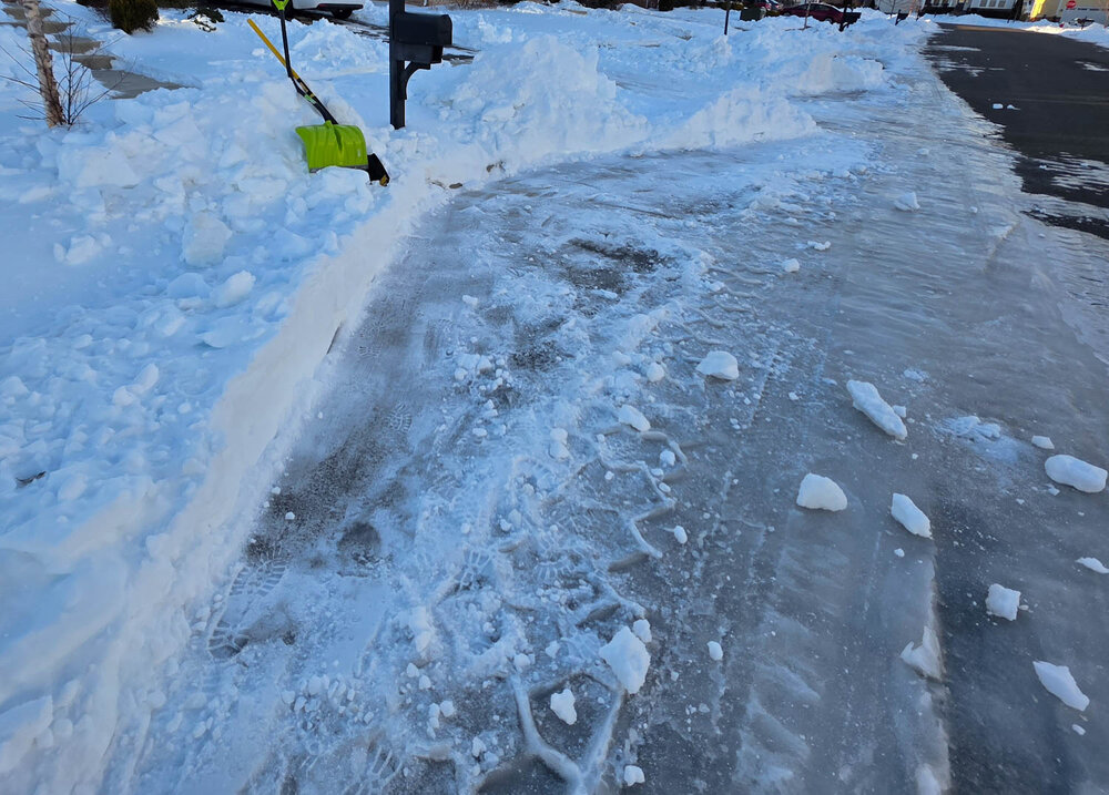
The USPS keeps leaving me notes telling me to clear the snow from in front of my mailbox. But I'm one of the only ones in my neighborhood who shoveled enough that the mail truck can actually pull up to my mailbox. And I know he is, because I can see remnants of tire tracks in the slush every day. Maybe I'll shovel snow back in front of the mailbox to see if that makes them happy.
-
4.3” here in Charlotte in the valley for the 6 hour snowboard clearing. Dry slot has pivoted in and shifted to light persistent flurries/showers. This brings the yearly total here to 61.2”. We’ll see what tomorrow looks like as the blocking kicks in when the storm strengthens just east of Maine.
-
Im at 4 now from 4:30pmest to 9:30pm
-

Feb 10-11 Mid Week Minor Event - Ride the hot hand?
TauntonBlizzard2013 replied to HoarfrostHubb's topic in New England
We knew. This had all sorts of issues SOP. Good for the folks up north though -
Frounde did show a lot of blocking wouldnt be surpised if btv beat leeward locations
-

Feb 10-11 Mid Week Minor Event - Ride the hot hand?
Go Kart Mozart replied to HoarfrostHubb's topic in New England
Precip began here as a heavy graupel shower. For some reason, graupel makes me laugh. -

Pittsburgh/Western PA WINTER ‘25/‘26
Rd9108 replied to Burghblizz's topic in Upstate New York/Pennsylvania
Huh its only Feb 10. That's a crazy thing to say. This weekend threat could still give us some minor accumulation before the warm up. Then who knows about March and April. -

Feb 10-11 Mid Week Minor Event - Ride the hot hand?
CT Valley Snowman replied to HoarfrostHubb's topic in New England
radar looks like a 7-10 split here with the heaviest returns. -
Feb 10-11 Mid Week Minor Event - Ride the hot hand?
The 4 Seasons replied to HoarfrostHubb's topic in New England
flurries about 10 minutes ago, steady light snow now -
Definitely looks that way for the foreseeable future.
-
Normal by then is 50's for Highs. May even be near 60 down there. I agree on the long standing winter cold pattern being over. Hopefully we land a perfectly timed powerful bowling ball or Late Season Miller A. Cutoff Low Season coming as well. Time those just right and good things can happen. Just throwing out some positive Vibes.
-

Feb 10-11 Mid Week Minor Event - Ride the hot hand?
metagraphica replied to HoarfrostHubb's topic in New England
Flakes just started here. -

Feb 10-11 Mid Week Minor Event - Ride the hot hand?
kdxken replied to HoarfrostHubb's topic in New England
-
Yep definitely AI
-
Mammoth has already received 10-13 inches of fresh pow in the past 24 hours. They will pile on another foot of freshies overnight. https://www.mammothmountain.com/on-the-mountain/mammoth-webcam/woolly-cam
-
Thanks, I didn’t realize that it only went out to 84 hours.
-

Feb 10-11 Mid Week Minor Event - Ride the hot hand?
ineedsnow replied to HoarfrostHubb's topic in New England
probably end up with 2 or 3 by the time this is finished.. back edge looks to be moving quick