All Activity
- Past hour
-
VA was pretty clear this morning, but cirrus outflow from the PA storms are now expanding over us. Not sure we’re going to clear out at all for the metro areas and points N/E
-
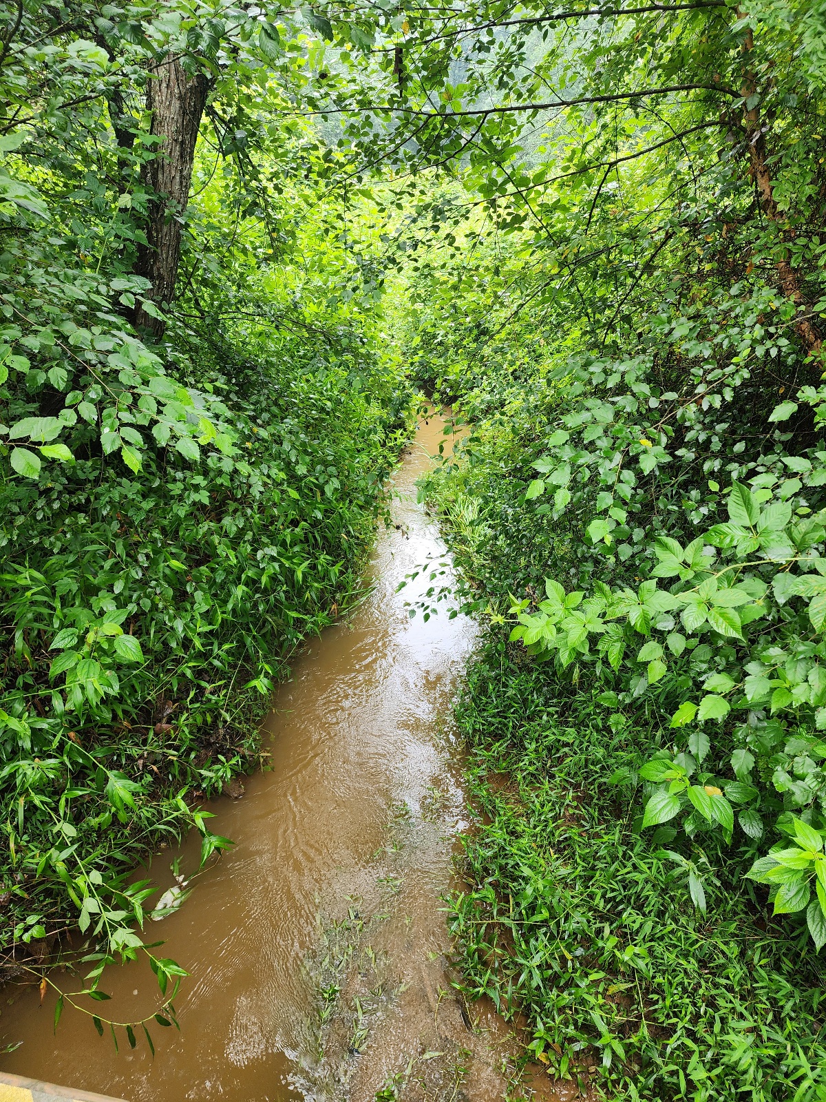
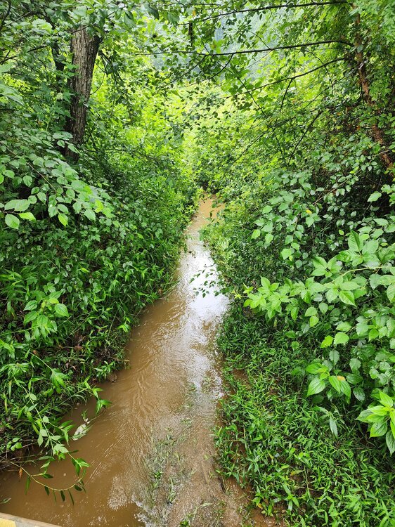
I'm literally standing somewhere exactly like the flash flood watch is describing. Bacon Ridge run (fresh waster spring 200 feet upstream) it was dry last time i was through here. It's super tropical out here. Flood me.
-

Saturday, July 18, 2026 Thunderstorm/Severe Weather Potential
WxWatcher007 replied to weatherwiz's topic in New England
-

Saturday, July 18, 2026 Thunderstorm/Severe Weather Potential
WinterWolf replied to weatherwiz's topic in New England
Here we go…Sun trying to pop here now. -
Blew past even 50mm from the 3rd round, even more lightning nearly at 1K strikes now!! 50 in 3 hr is extreme in my climo.
-
 Oh no, it definitely isn’t pedantic. I know “pedantic” posters but you certainly aren’t one… always respectful with measured views. Always appreciate the nuances and your expert opinion. Sometimes I just lean towards devils advocate comments, ha.
 -
E PA/NJ/DE Summer 2026 Obs/Discussion
Albedoman replied to PhiEaglesfan712's topic in Philadelphia Region
In addition to nearly three-quarters of an inch of much-needed rainfall, the thunderstorm also scrubbed weeks of smoke, dust, and other airborne particles from the atmosphere. The rain washed these fine particles onto the landscape while lightning naturally converted atmospheric nitrogen into plant-available forms that were carried into the soil. Although the amount of natural nitrogen is modest compared to commercial fertilizer, every pound helps during a critical stage of crop development. Just as important, the cleaner air and washed foliage allow crops to capture more sunlight, improving photosynthesis and helping fields recover from weeks of drought stress. -
Come on mama nature, flood me
-

2026 Mid-Atlantic Severe Storm General Discussion
SnowenOutThere replied to Kmlwx's topic in Mid Atlantic
Our solar output is pretty abysmal right now. Between high alt clouds and the smoke we need something to change if we want severe to verify. -
E PA/NJ/DE Summer 2026 Obs/Discussion
Albedoman replied to PhiEaglesfan712's topic in Philadelphia Region
After weeks of relentless heat and drought, western Lehigh County finally received its first measurable rainfall in weeks this morning. The thunderstorm produced nearly 0.75 inches of rain, falling in several intense downpours that soaked the ground just in time. For local agriculture, this rainfall was nothing short of a multi-million-dollar blessing. Corn fields had reached the critical tasseling and silking stage, when adequate moisture is essential to determine kernel development and final yields. Soybean fields were showing increasing signs of drought stress, with curled leaves and slowed growth becoming more evident each day. Without meaningful rainfall, crop losses would have escalated rapidly. This storm likely saved tens of millions of dollars in potential agricultural losses across western Lehigh County. While it certainly does not end the drought, it arrived at one of the most critical periods of the growing season. Soil moisture has been replenished enough to relieve immediate crop stress, allowing corn and soybeans to resume active growth. Beyond the water itself, thunderstorms provide another often-overlooked agricultural benefit. Lightning converts atmospheric nitrogen into plant-available nitrate compounds that are carried to the ground by rainfall. Although not a substitute for fertilizer, these natural nitrogen additions can provide a modest nutrient boost, helping crops recover more quickly after prolonged dry weather. Just as importantly, the rainfall washed dust, pollen, and other airborne particles from the atmosphere, improving air quality while refreshing plant foliage. There is still a long way to go. Subsoil moisture remains well below normal, and additional widespread rainfall will be needed over the coming weeks to sustain crop development through pollination and pod filling. Nevertheless, today's storm represents a major turning point. For farmers who have watched their fields deteriorate under weeks of dry weather, this rainfall was more than welcome—it was timely, valuable, and may ultimately prove to be one of the most important weather events of the summer. -
Short lives as the batch of showers/rain in CPA coming in the next hour or two
-
12z IAD sounding
-
some clearing to the south - maybe - depends on the smoke
-

Central PA Summer 2026 Discussion/Obs Thread
mahantango#1 replied to Voyager's topic in Upstate New York/Pennsylvania
WGAL News Channel 8 Susquehanna Valley, Pa. A Flood (FA) Watch has been issued for Lancaster, York, Dauphin, Cumberland, Centre, Schuylkill, Franklin, Lebanon, Blair, Cambria, Lycoming, Northumberland, Clearfield, Adams, Somerset, Columbia, Union, Mifflin, Bedford, Clinton, Huntingdon, Perry, Snyder, Juniata, Fulton, Montour county(ies) until Jul 19 12:00AM. Watch out for rapidly rising water. Avoid flooded roads & find an alternate route. @WGAL -
I mean it’s a niño, what do you expect?
-
Nice thunderstorm this morning. 0.42”
-
Saturday, July 18, 2026 Thunderstorm/Severe Weather Potential
WxWatcher007 replied to weatherwiz's topic in New England
And not just the overall categorical risk. The 5% tor and wind has been pulled east as well. -
Flood Watch National Weather Service Baltimore MD/Washington DC 923 AM EDT Sat Jul 18 2026 .A slow-moving front will interact with a very humid airmass in place to result in multiple rounds of showers and thunderstorms this afternoon and evening. MDZ501-502-509-510-WVZ503-504-182130- /O.NEW.KLWX.FA.A.0009.260718T1600Z-260719T0600Z/ /00000.0.ER.000000T0000Z.000000T0000Z.000000T0000Z.OO/ Extreme Western Allegany-Central and Eastern Allegany-Western Garrett-Eastern Garrett-Western Mineral-Eastern Mineral- 923 AM EDT Sat Jul 18 2026 ...FLOOD WATCH IN EFFECT FROM NOON TODAY THROUGH 2 AM EDT LATE TONIGHT... * WHAT...Flash flooding caused by excessive rainfall is possible. * WHERE...Allegany and Garrett Counties in Maryland, and Mineral County in West Virginia. * WHEN...From noon today through 2 AM EDT late tonight. * IMPACTS...Excessive runoff may result in flooding of rivers, creeks, streams, and other low-lying and flood-prone locations. Creeks and streams may rise out of their banks. Low-water crossings may be flooded. * ADDITIONAL DETAILS... - High humidity coupled with a slow-moving front is expected to result in multiple rounds of showers and thunderstorms this afternoon and evening. Localized rainfall rates of up to 2 inches per hour, with isolated totals of 3 to 6 inches are possible. - Please visit www.weather.gov/safety/flood for flood safety and preparedness information. PRECAUTIONARY/PREPAREDNESS ACTIONS... You should monitor later forecasts and be prepared to take action should Flash Flood Warnings be issued.
-

Central PA Summer 2026 Discussion/Obs Thread
canderson replied to Voyager's topic in Upstate New York/Pennsylvania
Tuesday worries me more than today. That said the other week when a bomb went off in camp hill I didn’t think conditions were favorable for a microburst. -
That's from 7am lol
-
North side of a stationary front can mean
-
Narrative artwork for this morning: AQI: 196 (parts of the NYC area are above 200).

-
 Hope so...2.89" since June 1. Tuesday may be somewhat better at this range.
 -
Not at home but heard my Capital Weather lightning detected near my location go off this morning at 4:15. Looked at radar to see my house getting hit with a very nice robust cell followed by another one. Picked up .61” from that early morning round. A
-
Some showers and storms moving through already