All Activity
- Past hour
-
.02" yesterday from an NWS predicted 1.00" - 2.00". 5.42" total for May. Normal 3.60". First above normal month since last September.
-
I think it’s gypsies down there. That area was in a bad drought for years
-
0.62 for the storm, 6.50” for May. Very wet month
-
Yeah even less here, just under .2" Suns bursting out, should outperform the mid 60s forecast for today. And should dry out a bit for you
-
Just over an inch here. Definitely some winners and losers with this one. Think I landed pretty much in the middle.
-
60 / 54 cloudy and windy gusts to 27. Some breaks in clouds now should start to become bigger breaks later but still more clouds than sun much of the day till later this PM. Upper 60s / Low 70s beyond the overnight highs. 0.82 in the bucket here. Clears out tomorrow starting off cool low 70s , stepping up warm Monday clear sunny - low - mid 70s, Muchar warmer Tue - clear and low 80s / mid 80s in the warmer spits. Wed - Fri - warmer areas first 90/low 90s other wise mid - upper 80s. Perhaps next shot at rain is Friday night / Saturday with weak fontal system. Overall warm to hot the 6/5 - beyond, the tenedncy for the onshore flow seems less than past ridge expansion coming up.
-
As am I. Curious too if we have a late summer and into fall heat push, so maybe higher departures then.
-
Lots and lots of power outages around here. Those strings winds must’ve done a number on tree branches.
-
It looks like rainfall across the area ranged from as little as 0.48" at Atglen to as much as 1.51" at Devault. One more round of showers may cross the area late this afternoon and early evening with a strong cold front. We finally clear up tomorrow and begin a stretch of our best weather so far this spring. Most spots except the higher ridges should reach 80 degrees by Tuesday with low to mid 80's for all by Thursday.

-

E PA/NJ/DE Spring 2025 Obs/Discussion
ChescoWx replied to PhiEaglesfan712's topic in Philadelphia Region
It looks like rainfall across the area ranged from as little as 0.48" at Atglen to as much as 1.51" at Devault. One more round of showers may cross the area late this afternoon and early evening with a strong cold front. We finally clear up tomorrow and begin a stretch of our best weather so far this spring. Most spots except the higher ridges should reach 80 degrees by Tuesday with low to mid 80's for all by Thursday.
-
1.62 last 24 hours, 1.3 came in about 30 minutes yesterday. Fun facts from the my weather station. May 2025 had 2526 minutes of rain, or roughly 42 hours with 7.02” October 2024 had 32 minutes of rain with .06” of rain.
-
 DCA _ NYC _ BOS ___ ORD _ ATL _ IAH ___ DEN _ PHX _ SEA 1.6 2.2 2.3 2.6 0.2 0.8 0.4 1.3 0.5
 -
Not really a bust since the heavy rain was always going to be NW of our area. This was always going to be an under 1 inch storm for us. The sun coming out so early was a bit of a surprise, but it's awesome to have it most of the day. This is no *lull* either (I don't know why TV Mets use this stupid word, they're like robots), we're not going to be getting anything else today.
-
I knew it was going to bust. Had the feeling for days
-
1.3” for the event. Officially the wettest May in Harrisburg history.
-
Canada needs to change their flag from this, to this


-
Could add a little today with scattered showers/storms in the forecast.
-
5.2" for the month per my station. That's a little more than average for May.
-
The sun is in and out of the clouds overall it looks like a mostly rain free weekend for us.
-
Some heavy rain overnight. 4.41" for the day. Up to 12.51" for the month
-

2025 Lawns & Gardens Thread. Making Lawns Great Again
dendrite replied to Damage In Tolland's topic in New England
@Damage In Tolland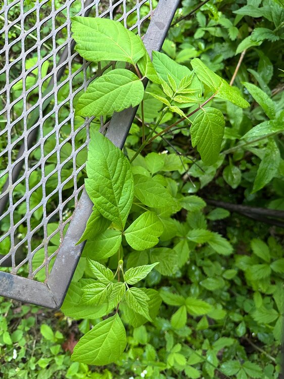
-
"last winter was cold"
-
partly sunny here after .56 of rain last nigh
-
Stats from Carlisle... Rainfall yesterday was 0.67". Overnight I recorded 0.11" for an event total of 0.78". Tentative total precip for May is 8.81" and YTD is 15.31". Low this morning was 54.7. Very low pressure for the end of May. My pressure bottomed out at 29.38" early this morning. The cold front has not reached us yet as the pressure has been steady all night, right around 29.41".
-
Probably about .4” on the Cape. We camp but we survive.