All Activity
- Past hour
-
Glancing blow from first storm. .17 so far. Radar definitely looks better than short term models depicted earlier today.
-
6-8 incher in Feb 2016 along the Blacksburg to Lynchburg 460 stretch then crazy ice
-
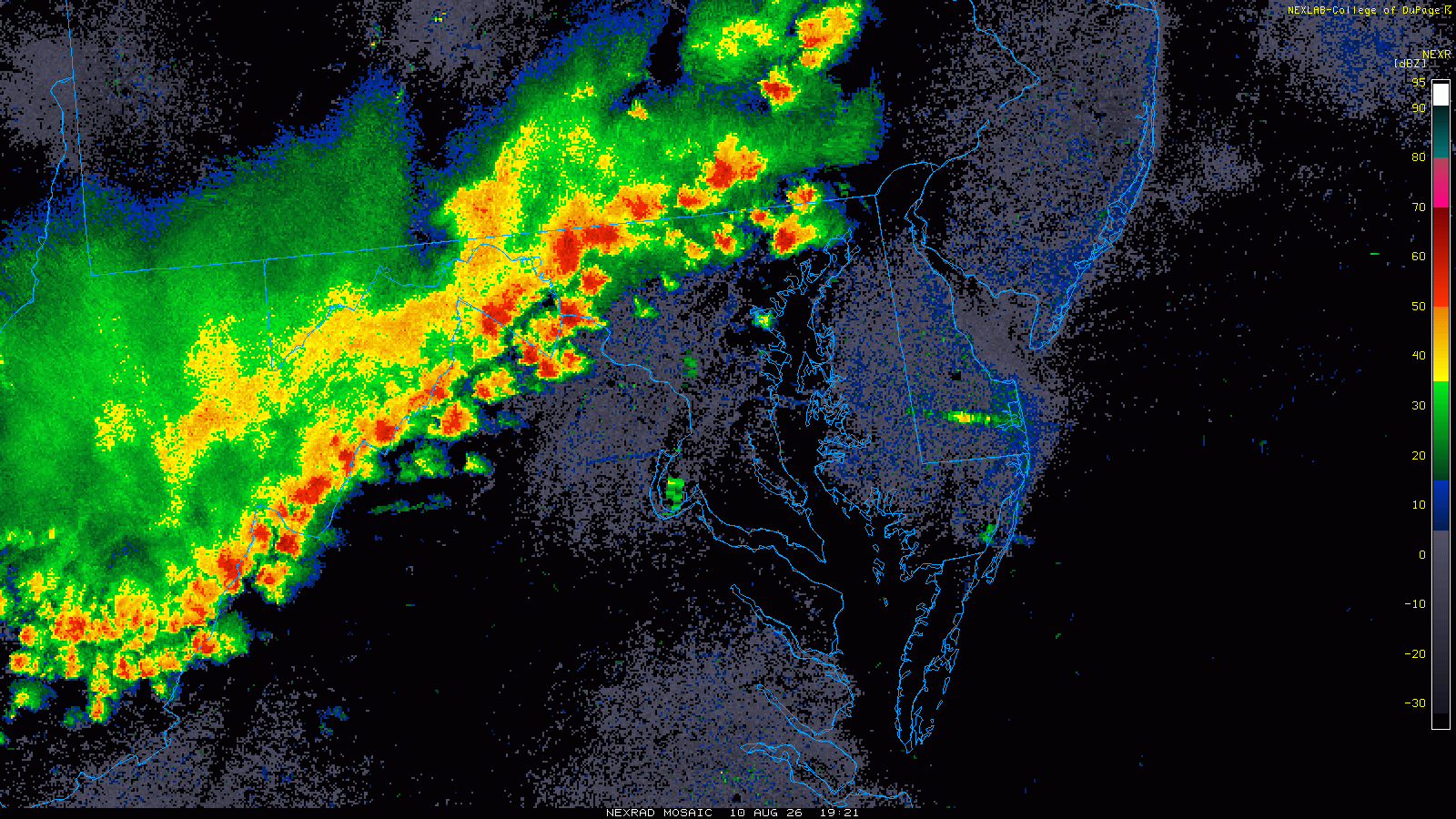
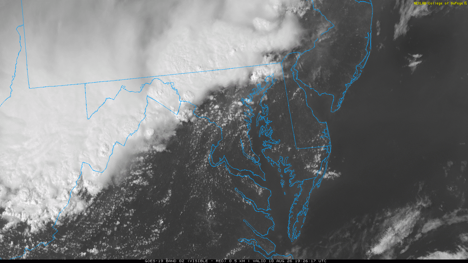
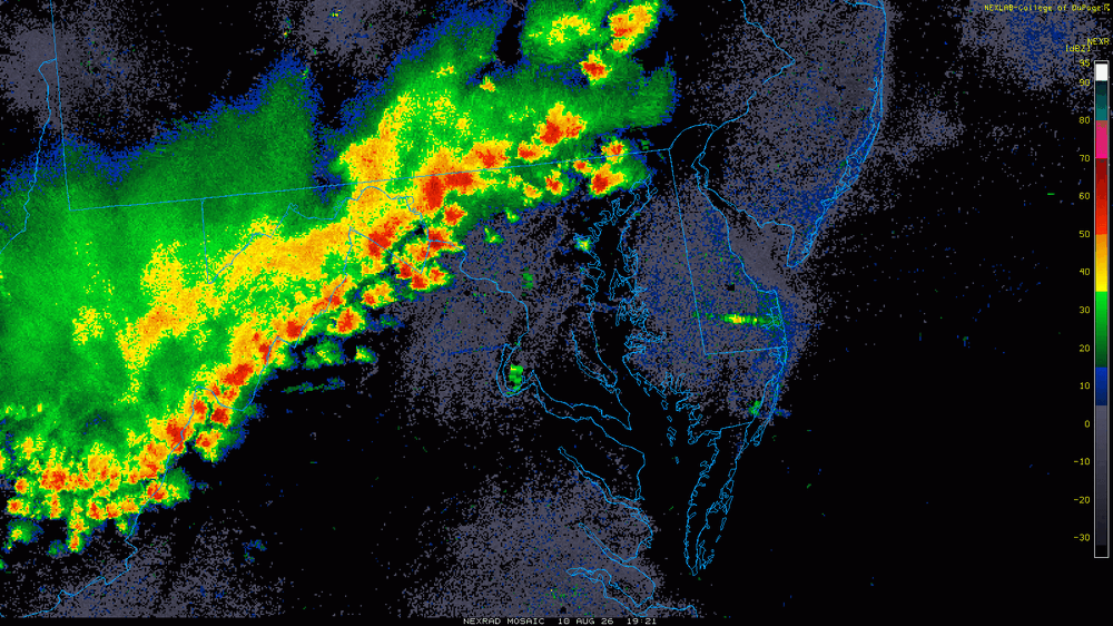
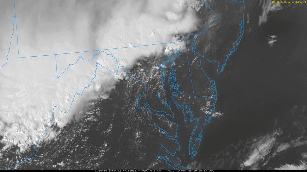
Rada rlooks "meaty." Not only the SQLN but discrete cells forming just ahead. It does not look like it is gusting out yet which is good. I like the CU streaks on the VIS over the DC area.
- 1,787 replies
-
- 1
-

-
- severe
- thunderstorms
- (and 7 more)
-

2026 Mid-Atlantic Severe Storm General Discussion
WhiteoutMD replied to Kmlwx's topic in Mid Atlantic
Is this a MSC Approaching ? . -
Thunderstorm has developed before the line and we’ve got it all. Thunder, lightning, heavy rain, wind, flickering power.
-
2026 Mid-Atlantic Severe Storm General Discussion
Roger Ramjet replied to Kmlwx's topic in Mid Atlantic
This is not even close to what that was.- 1,787 replies
-
- 4
-
-

-
- severe
- thunderstorms
- (and 7 more)
-
Wall of rain incoming. Under a warning but it really as of now is just blowing rain. Ok things just really ramped up. Leaves blowing everywhere. Rain being blown in many directions and just got a lightning strike right out front of the house.
-
Yeah banged good
-
Same here. And now the Bel Air cell descending my way.
-
2026 Mid-Atlantic Severe Storm General Discussion
WhiteoutMD replied to Kmlwx's topic in Mid Atlantic
Everyone west of 95 do you smell pine in the air. That was a telltale sign when the deracho was approaching. The smell was in the air well before the storms hit my location. Anyone experiencing that yet? . -
The thunder last night was unbelievable, some of the loudest I can recall hearing. As for today, sun just started peeking out in Humboldt Park. Feels juicy out there. .
-
Whoa I wasn't paying any attention today since I thought it was just sunny and hot with little or no chance of rain. That's a nice line to the NW - hope it holds together
-
Line in eastern PA going severe near Hazelton - moving fast though 40 mph entire line should be through here by6 PM even before it was expected to start at 7 SVR from KPHI
-
Doubt it verifies verbatim but 18z HRRR sniffing out some max wind gusts of 100 mph in DuPage co. with the midday complex tomorrow. Taking it with a grain of salt but thinking we'll see some 80+ gusts if consistency continues.
-

E PA/NJ/DE Summer 2026 Obs/Discussion
BBasile replied to PhiEaglesfan712's topic in Philadelphia Region
91F with a 72F dew. 5th day of the heat wave. Maybe I'll get a storm today? Maybeee? -

2026 Mid-Atlantic Severe Storm General Discussion
wxmeddler replied to Kmlwx's topic in Mid Atlantic
LWX smashing the warn everything button- 1,787 replies
-
- 4
-
-
- severe
- thunderstorms
- (and 7 more)
-
JUST finished the powerwashing and sitting down to eat a sandwich, looks like I'll be inside watching the storms go by for a while now.
-
looks like it might be right with this 2nd one coming through sooner then later moving fast even though a watch was issued
-

2026-2027 Record-breaking El Nino
GaWx replied to Stormchaserchuck1's topic in Weather Forecasting and Discussion
As expected, today is a +SOI (+2), thus ending the -SOI streak at 91 days. Thus, the 100 day streak of 1998 is safe. -
Interesting discrepancy between the CSU and NWS on the area of severity. CSU seems to be leaning more south central IN / southern OH event. I guess we'll see what 00z offers.
-
Surrounded by warnings
- 1,787 replies
-
- 1
-
-
- severe
- thunderstorms
- (and 7 more)
-
Blacksburg playing the Sterling game, issuing large STW's for multiple counties for the incoming line.
-
Yep, only posted about it the other day. Tomorrow it'll be thicker but thankfully all in the upper levels and not down at the surface.
-
88 here as of 3PM.
-
Thunder but we’ve dodged the rain…fingers crossed