All Activity
- Past hour
-
Differences are PDO (97-98 was super +PDO so careful what we wish for) and 1965-66 was low solar (we’re high but descending). I think a blend of these will land us close to what’ll happen this winter - milder and wetter than normal with elevated big dog potential. Other than that, not a whole lot to parse. Key thing to watch is where and how strong the Canadian ridge is. Too strong and too far east, storms either suppressed or rain. More west, we get colder air with a still active STJ.
-
Yeah 95 here today
-
I think everything stays west of the Delaware . Perhaps western portions of NJ will get some strong storms later this evening .
-
Currently 80F...DP 74/RH 89%.
-
Dumb question: When folks are referencing the CAMs here, which models are you looking at. I assume the HRRR, NAM Nest, RRFS. Any others? FV3, WRF-ARW?
-

2026-2027 Record-breaking El Nino
The Iceman replied to Stormchaserchuck1's topic in Weather Forecasting and Discussion
I’m even further north(20 miles NE of Philly) and have had 2 seasons with 1.5” or less since 2019-2020. (2019-20 and 22-23) -
I'm wondering how this winter might be different for myself down in Charlottesville. Obviously, I'm still in the hope for a big storm category but otherwise are there any meaningful differences?
-
No relief at night either. Will be flirting with record high mins locally.
-

Septorcher 2026 Discussion - Endless Summer
Damage In Tolland replied to Damage In Tolland's topic in New England
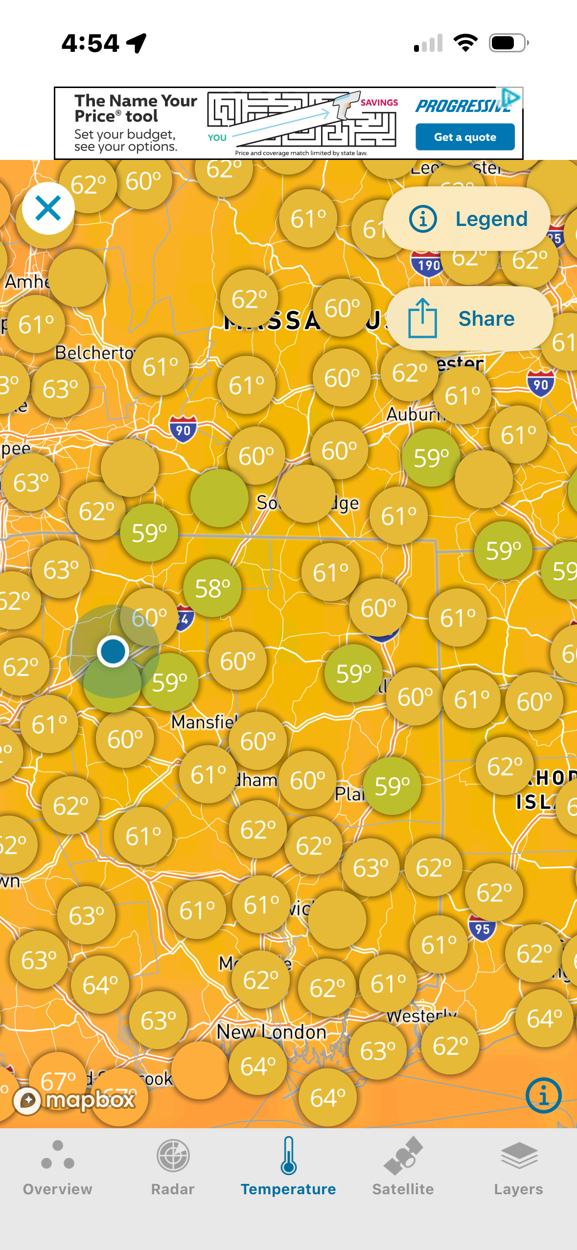
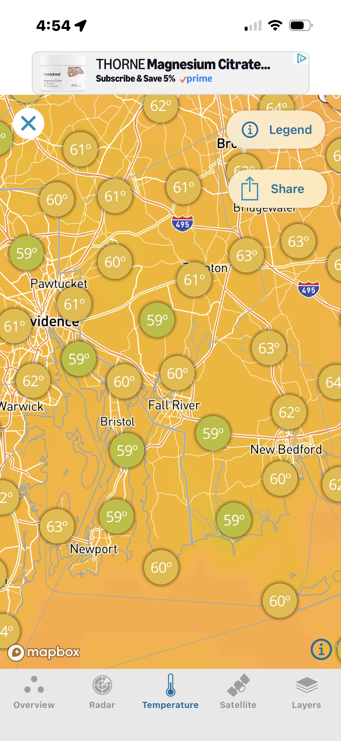
There’s a bunch of upper 50’s though. I’m trying to figure out where this cool pocket came from . I mean your dews are higher .. even Scooter on the ocean is warmer
-
yeah i can see us getting a few more waves of this. That Oct 2019 heatwave was insane. but maybe we get very pleasant temps in Nov (60s / 70s)? obviously we're paying for the incredible late summer we had last year. I told you guys the bill would come due.
-
 Under holding strong
 -
Ens are pretty rough. EPS goes cool for a bit around labor day before running back the heatwave we're in by late next week. CMCE keeps things cooler with more backdoor fronts. GEFS is a bit of a mix between the two that keeps us on the south side of any fronts, but has colder air up in PA.
-
Where will it go over next few days?
-

Septorcher 2026 Discussion - Endless Summer
dendrite replied to Damage In Tolland's topic in New England
67F and partly sunny here. You have the coldest non-mountainous temp east of the Rockies. Congrats. -
they must think more develops later as it runs til midnight but yeah radar is not exciting to say the least
-
Mixed feelings about this severe watch since there is only 1 severe warning in PA so far and the heavy precip echoes coming out of eastern PA into NJ are shrinking
-
Holy Dewpoints. Heat Advisory territory, especially S-NJ. Heat indexes are over 100.
-
 farmacias online usa: mexican rx : mexico online farmacia
 -
-
If it makes you feel better, my top 4 analogs: 1997-98 2015-16 1982-83 1965-66 I’ll let someone else make a blended map of these and draw similarities between 3 out of 4 of these.
-
Dont get the watch but ok.
-
sunny and warm in central S.I.
-
Severe Thunderstorm Watch up until midnight for NE MD and DE URGENT - IMMEDIATE BROADCAST REQUESTED Severe Thunderstorm Watch Number 638 NWS Storm Prediction Center Norman OK 435 PM EDT Tue Sep 1 2026 The NWS Storm Prediction Center has issued a * Severe Thunderstorm Watch for portions of Delaware Northeast Maryland New Jersey Southern New York Central and Eastern Pennsylvania Coastal Waters * Effective this Tuesday afternoon from 435 PM until Midnight EDT. * Primary threats include... Scattered damaging wind gusts to 70 mph likely Scattered large hail events to 1.5 inches in diameter possible A tornado or two possible SUMMARY...Supercell thunderstorms should pose a threat for large hail this afternoon as they track east-southeastward across the northern Mid-Atlantic. The threat for scattered severe/damaging winds should increase this evening as one or more clusters develops. A tornado or two may also occur with any sustained supercell.
-

2026 Mid-Atlantic Severe Storm General Discussion
high risk replied to Kmlwx's topic in Mid Atlantic
Even this evening has a lot of questions. While there is general agreement that a cluster of storms drops south through NJ/DE, some of the CAMs have storms building back to the west and catching much of central MD.- 2,283 replies
-
- 2
-

-
- severe
- thunderstorms
- (and 7 more)
-
Severe Watch Issued BULLETIN - IMMEDIATE BROADCAST REQUESTED SEVERE THUNDERSTORM WATCH OUTLINE UPDATE FOR WS 638 NWS STORM PREDICTION CENTER NORMAN OK 435 PM EDT TUE SEP 1 2026 SEVERE THUNDERSTORM WATCH 638 IS IN EFFECT UNTIL 1200 AM EDT FOR THE FOLLOWING LOCATIONS DEC001-003-005-020400- /O.NEW.KWNS.SV.A.0638.260901T2035Z-260902T0400Z/ DE . DELAWARE COUNTIES INCLUDED ARE KENT NEW CASTLE SUSSEX MDC011-015-025-029-035-041-020400- /O.NEW.KWNS.SV.A.0638.260901T2035Z-260902T0400Z/ MD . MARYLAND COUNTIES INCLUDED ARE CAROLINE CECIL HARFORD KENT QUEEN ANNE'S TALBOT NJC001-003-005-007-009-011-013-015-017-019-021-023-025-027-029- 031-033-035-037-039-041-020400- /O.NEW.KWNS.SV.A.0638.260901T2035Z-260902T0400Z/ NJ . NEW JERSEY COUNTIES INCLUDED ARE ATLANTIC BERGEN BURLINGTON CAMDEN CAPE MAY CUMBERLAND ESSEX GLOUCESTER HUDSON HUNTERDON MERCER MIDDLESEX MONMOUTH MORRIS OCEAN PASSAIC SALEM SOMERSET SUSSEX UNION WARREN NYC005-047-061-071-079-081-085-087-105-119-020400- /O.NEW.KWNS.SV.A.0638.260901T2035Z-260902T0400Z/ NY . NEW YORK COUNTIES INCLUDED ARE BRONX KINGS NEW YORK (MANHATTAN) ORANGE PUTNAM QUEENS RICHMOND ROCKLAND SULLIVAN WESTCHESTER PAC011-015-017-025-027-029-035-037-041-043-045-067-069-071-075- 077-079-081-087-089-091-093-095-097-099-101-103-105-107-109-113- 115-117-119-127-131-133-020400- /O.NEW.KWNS.SV.A.0638.260901T2035Z-260902T0400Z/ PA . PENNSYLVANIA COUNTIES INCLUDED ARE BERKS BRADFORD BUCKS CARBON CENTRE CHESTER CLINTON COLUMBIA CUMBERLAND DAUPHIN DELAWARE JUNIATA LACKAWANNA LANCASTER LEBANON LEHIGH LUZERNE LYCOMING MIFFLIN MONROE MONTGOMERY MONTOUR NORTHAMPTON NORTHUMBERLAND PERRY PHILADELPHIA PIKE POTTER SCHUYLKILL SNYDER SULLIVAN SUSQUEHANNA TIOGA UNION WAYNE WYOMING YORK ANZ338-430-431-450-451-452-453-454-455-530-539-540-020400- /O.NEW.KWNS.SV.A.0638.260901T2035Z-260902T0400Z/