All Activity
- Past hour
-
NAM @ 39hrs. .
-

MO/KS/AR/OK 2025-2026 Winter Discussion
MUWX replied to stormdragonwx's topic in Central/Western States
If the more aggressive northern models are correct, a lot of people north of the KS/Ok line, extended into Missouri are going to be caught off guard. -
Listen, if we can manage 10 inches and some sleet on top, we’re golden. I feel genuinely bad for whoever gets it, but that ice storm ish can stay the f*** away. Especially after ice knocked out the city’s water infrastructure last January. .
-
I was referring to how slow the model was running. Havent even looked at any of the plots yet
-
I am excited that the what falls won't melt away in three days. Give me enough to make everything white and then freeze it for a week. My dream winter.
-
Since we all have nothing better to look at right now... 12z NAM at 45 h5
-
Those of us who can generate their own cold are used to it +9 degress now.
-

Winter 2025-26 Short Range Discussion
Stevo6899 replied to SchaumburgStormer's topic in Lakes/Ohio Valley
That's me that says that, not josh. Dont poke the bear or he will stat you 6 feet into the ground. -

Richmond Metro/Hampton Roads Area Discussion
Dick_LeBoof replied to RIC Airport's topic in Mid Atlantic
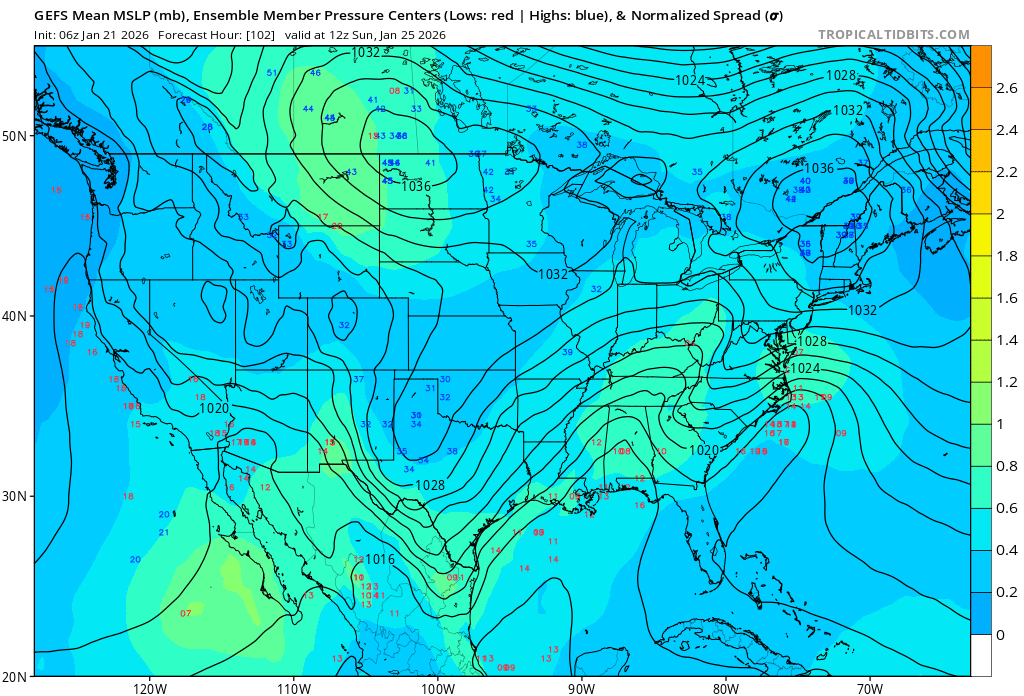
06Z GEFS run. Looking like still a decent spread in possibilities of where the coastal low sets up. There's still a good amount of southern members, so I'm not panicking yet. My question is are the models underestimating the CAD that will be in-place by the time the system rolls in. The low-temp this morning in RVA was a few degrees colder than forecasted. Hoping the CAD will be deeper than the models are showing.

-
Not saying this will have anything at all to do with this storm, but the coastal system last week trended north quite a bit by the euro at about this range and then it ended up going back to basically where it started at. I actually think there were several mods that trended north and then came back. .
-
@36 the large lobe of energy north of MN/WI seems to be having an effect here. More pronounced with strength and progression on kinking southwest. Curious how it will relate downstream. Ok yea.. @42 confluence is pretty pronounced here compared to 6Z. Again I KNOW we are talking Nam but any positive shift is always a good sign to kick off 12z runs.
-

Possible Record Breaking Cold + Snow Sunday 1/25 - Tuesday 1/27
forkyfork replied to TriPol's topic in New York City Metro
when all the models make a big jump to a similar idea the big moves usually stop -

Winter 2025-26 Short Range Discussion
mimillman replied to SchaumburgStormer's topic in Lakes/Ohio Valley
Glad to see the Michigan snow desert is finally catching in after consistently lagging Chicago year after year -

Central PA Winter 25/26 Discussion and Obs
pasnownut replied to MAG5035's topic in Upstate New York/Pennsylvania
This is a very fair point. 72 + hours is still enough time for some wiggle in the modeling, especially as the players enter the field (conus) tomorrow night and models hone in on what n where things are, and where they are headed. Fortunately there's been enough continuity for last couple days that the goalposts are becoming a bit better defined, and should start to narrow. We currently are on the inside - center left post, and hopefully stay inside. IF we can survive today full set of runs (including tonights 0z's, I'd think we'll be alright. If we end up back in the 6+ and not 16" range, its still a win. -
1) Dry air limits WAA thump 2) Sleet mixes in almost immediately in the city 3) After a few hours of heavy sleet, we transition to a sort of purgatory dry slot/freezing drizzle situation due to the low position and the transfer happening too far north. 4) Some light fluffy snow wraps around for 12 hours but the moderate band sits NW of the city until the coastal moves away and the band weakens and sputters through the city. RESULT: 1" of sleet washed away by sunday afternoon by the freezing drizzle jk it'll probably be one of the best storms in 20 years
-
NAM a lil slower/less interaction through 42
-

January 2026 regional war/obs/disco thread
40/70 Benchmark replied to Baroclinic Zone's topic in New England
Maritime Continent. Lag of 7-10 days from when the storm hits is phase 6, so I don't see how that supports your position that the N trend is unrelated. It was amplified in phase 6 minus 7-10 days from storm impact. -
I should add that I would be shocked w/ a reversal. Just too many models showing the trend towards a warmer solution. However, with the Euro changing hp strength in the Plains...that could greatly affect where the phased system tracks. If the hp dives behind the system, it cuts. If it stays over the top...it might force the bulk of the energy east of the Apps w/ only a shadow pressing west. For E TN...this looks like snow to sleet to ice to rain. For now(like right this minute), it looks like 8-12 hours of frozen precip at TRI. Downslope effects are showing up on some models for sure in the Foothills - so, usual caveats apply. When I see big changes on modeling(MT hp on the 6z Euro), that usually tells me that things are not worked out. The GFS consistency gives me some weak(very weak) hope, and the 6z GEFS snow axis actually shifted south at 6z. It is possible the Euro is too amped....but the AIFS supports the Euro as does the GEM and GEM-para. Let's see what this hurricane hunter data reveals. I think the big error(and this error has been present on modeling all winter long) is trying to hold that Baja low in place too long or string it out. More often than not, that low has been poorly modeled up until about 3-4 days before reality. We have also seen energy transfer from the Rockies back to San Francisco on modeling(not this particular setup to clarify) - didn't happen. The Southwest has been a big problem for modeling this winters. Oddly, that Baja bias has been across modeling. One thing I will add...any time a Baja low is involved, the Euro struggles...until it doesn't. Then, it locks in.
-
00z Euro / EPS and AI-EPS just dump all the cold air over the eastern 2/3rds of North America through the start of February. Looks like a legitimate vodka cold we all dream about as kids.
-

January 2026 regional war/obs/disco thread
ineedsnow replied to Baroclinic Zone's topic in New England
3k is 3 or so here even better -

January 2026 regional war/obs/disco thread
CoastalWx replied to Baroclinic Zone's topic in New England
Hopefully Reggie is right. -

Pittsburgh/Western PA WINTER ‘25/‘26
MikeB_01 replied to Burghblizz's topic in Upstate New York/Pennsylvania
Pivotal moving sooo sluggish right now. -

January 2026 regional war/obs/disco thread
Prismshine Productions replied to Baroclinic Zone's topic in New England
I got down to 1.8, absolutely frigid Sent from my SM-S166V using Tapatalk -
Winter 2025-26 Short Range Discussion
Stevo6899 replied to SchaumburgStormer's topic in Lakes/Ohio Valley
Gonna be a few spots that get 4-6 central oakland/macomb. No big dog but only fitting my backyard jackpots on back to back events when im not there. A true winter though I will say with the snow depth and temps incoming. Long overdue for a rough winter.