All Activity
- Past hour
-

Central PA Fall Discussions and Obs
Jns2183 replied to ChescoWx's topic in Upstate New York/Pennsylvania
That did shovel like lead Sent from my SM-S731U using Tapatalk -
12/2- Big fat goose egg
-
SWfE usually have a primary well west and ripping srly flow aloft where the 800-700 layer causes sleet. Tbis is just a weird one.
-
Really effing weird. Sfc low almost got elongated too to the northeast. Yet we had 925 taking forever to close off and ripping from 180-170.
-

2025-2026 Fall/Winter Mountain Thread
Maggie Valley Steve replied to Buckethead's topic in Southeastern States
Snow flurries in the Valley. It's starting to stick on the deck and vehicles. 31 and no wind. -
Very light snow flurries and 29 F here...gusts in the 20s.
-
Just happened to turn on The Weather Channel and Paul Goodlow was live from Poughkeepsie. Had some snow squalls come through and whiten the ground. .
-
Some light rain/snow mix in Asheville. 35.
-
I said late last week, would this be a sort of hybrid(half coastal, half SWFE), and I believe it was determined at that point that it would be a coastal. But in the end now…it wasn’t quite a true coastal it seems. Interesting. The cold was never scoured out here…that’s rare when you have warming like that 950.
-
We've been missing the heaviest snows but make no mistake, winter has set in early this year! Single digits on the way Thursday night. Took this this evening as the moon made the snow glisten.

-

Central PA Fall Discussions and Obs
Blizzard of 93 replied to ChescoWx's topic in Upstate New York/Pennsylvania
I ended up with 3 inches of snow & sleet in Marysville that were compacted into cement by the time I shoveled this evening. This stuff was heavy & provided quite a workout. My back is barking already! -
Been seeing some flurries here as well this evening.
-
You sure its not 17" in Lunenburg?
-
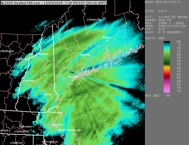
Some of the heaviest rates on the day about to move over the area as SPC has issued a bulletin for 1/2-1"/hr rates.
-
Reports of 7” in Fitchburg and Lunenburg
-

2025-2026 Fall/Winter Mountain Thread
Buckethead replied to Buckethead's topic in Southeastern States
21 and still falling in Wolf. Picked up just over an inch now. It's bright outside tonight! Sent from my SM-S908U using Tapatalk -
Just a cold, wind driven rain event here..nothing out of the ordinary for early December in these parts. Beautiful pics from the snowbirds to the far north. The fluffy powder really does brighten things up this time of year.
-

NNE Cold Season Thread 2025-2026
EMontpelierWhiteout replied to Boston Bulldog's topic in New England
5” of amazing fluff. Wish I could have skied it today. Still snowing lightly but steadily. -
Nrly ageo flow at the surface and then ripping srly from 950-850. With a low south of ACK. In all my career I cannot recall such an event.
-
I don't know if there's any actual significant correlation between these two variables, but it seems like you need a deep and rapidly intensifying low pressure in order to have a successful backend "flash over". Mbs in the 990s, tilted mid levels, and rapid forward progression just won't cut it. Kind of a weird SWFE hybrid rather than a true coastal. Big warm nose etc... If you can't stack the lows, the dynamics just aren't as good for the development of a cold conveyor belt
-

12/3 Snow/Sleet/Mix Bag of Everything Discussion/OBS
Hurricane Agnes replied to Mikeymac5306's topic in Philadelphia Region
Finished up with a nice slow soaking of 1.09" of rain (had planted the last of my bulbs yesterday so they got rained in). Made it up to 40 as a high this afternoon once the precip. was over, after a low of 30 that happened just after midnight, after which the temp started slowly rising. Currently 34 with dp 33. -
3.0 to my NW. A hair less here.
-

December 2025 regional war/obs/disco thread
weatherwiz replied to Torch Tiger's topic in New England
Patterns like this you can tell in the weather social media world who just rips and reads SLP charts. All of a sudden the models at D3 will develop a QPF blob and people will go, "where did this come front, models didn't have this". Meanwhile that possibility was there for several-plus days. -
32/30 -FZRAPL 3.8" total accumulation with a light glaze on top now
-
This was a really weird sleet event. Not common you get sleet with a warm layer around 900mb, lol. But I agree it was probably not-fully melted flakes refreezing quickly into pellets.