All Activity
- Past hour
-

2026-2027 Record-breaking El Nino
40/70 Benchmark replied to Stormchaserchuck1's topic in Weather Forecasting and Discussion
I'm not suggesting that we are going back to the 60s in a few years, so I think we're on the same page there. -

Augdewst 2026: Summer's Last Stand
SouthCoastMA replied to Prismshine Productions's topic in New England
79/71 it's a solid beach day -

Augdewst 2026: Summer's Last Stand
Damage In Tolland replied to Prismshine Productions's topic in New England
Bbbbuuuutttttt the cccc hhharrttss…. -

Augdewst 2026: Summer's Last Stand
dendrite replied to Prismshine Productions's topic in New England
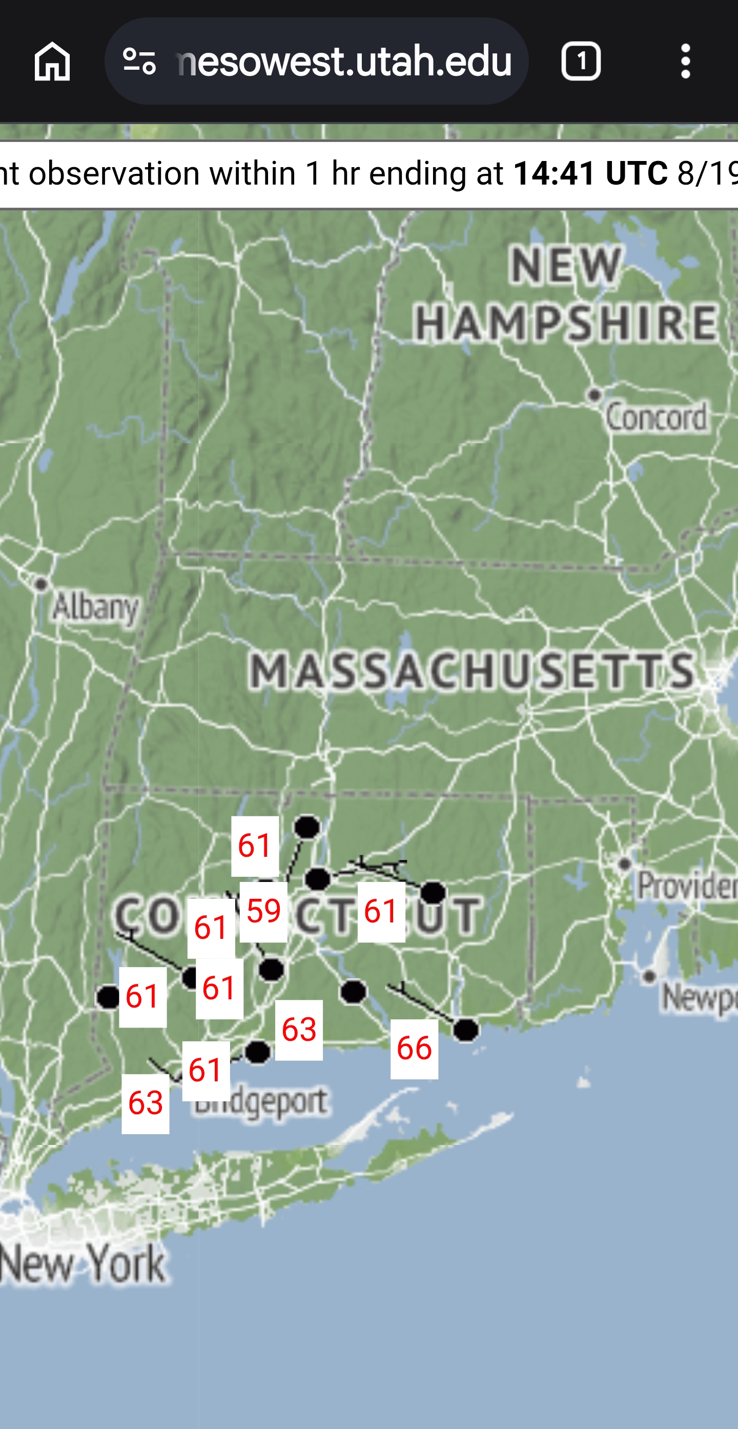
Dews at “Back broken” time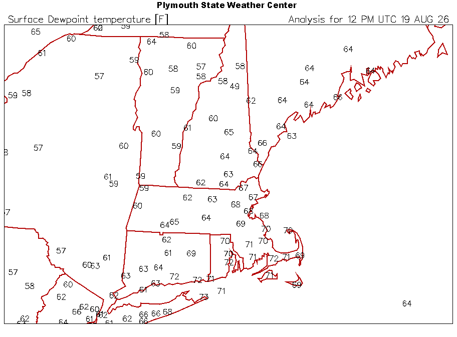
-
IMO no. I think we’ve got a long stretch of 90s coming in Sept at some point before we get entrenched in a long, cool & wet pattern.
-
Augdewst 2026: Summer's Last Stand
dendrite replied to Prismshine Productions's topic in New England
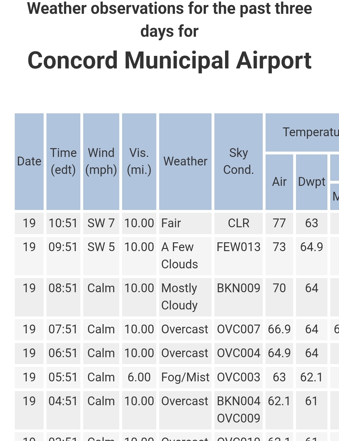
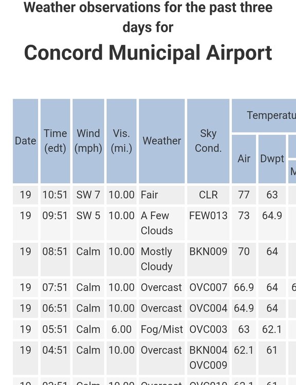
Ken gone wild. Ginxy doesn’t live in CON but ok -
Augdewst 2026: Summer's Last Stand
dendrite replied to Prismshine Productions's topic in New England
Beer? -
Augdewst 2026: Summer's Last Stand
dendrite replied to Prismshine Productions's topic in New England
It was near 70 at the time of your post. -
Augdewst 2026: Summer's Last Stand
SouthCoastMA replied to Prismshine Productions's topic in New England
pretty sick storm in my hometown. yuge surge -
If some of the models are correct there could be a flooding threat tomorrow with some areas getting 2 to 4 inches of rain. Probably will be the usual situation with some spots getting a lot of rain while other spots get a little.
-

Mid-Long Range Discussion 2026
WinstonSalemArlington replied to BooneWX's topic in Southeastern States
the beginning of the end of summer? -
Looking at Mt Holly and the models watch this be a reverse June 27th.
-
.thumb.gif.f92b16c631a1d15d405ed77b33f0710d.gif)
Augdewst 2026: Summer's Last Stand
Torch Tiger replied to Prismshine Productions's topic in New England
Big 35
-
-
Can I get away with planting a dwarf Alberta Spruce IMBY this weekend? Or is it too soon.
-
Do you whine about everything? Just enjoy it. Remarkable stretch.
-
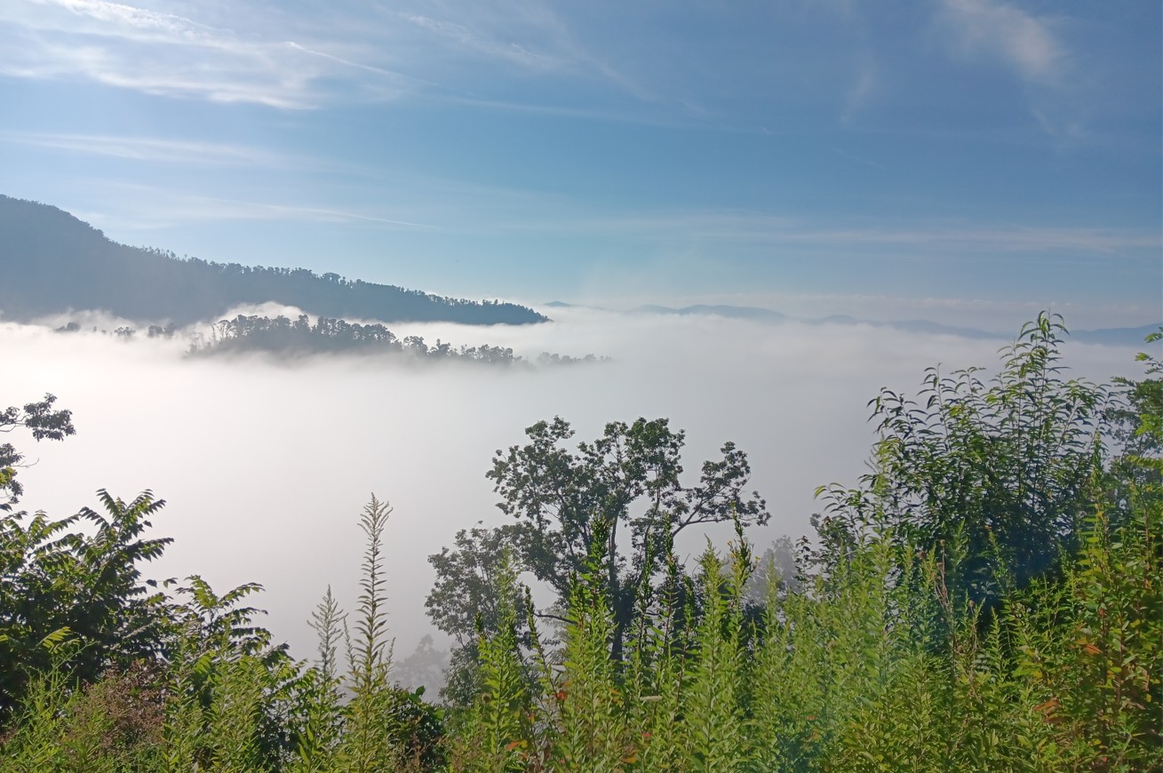
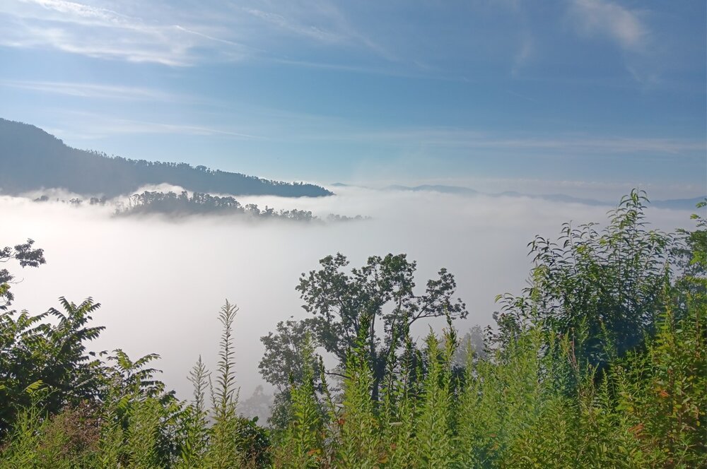
It was a beautiful morning; went cycling up the Parkway this AM:
-
A grand total of .02 here overnight.
-

2026-2027 Record-breaking El Nino
Typhoon Tip replied to Stormchaserchuck1's topic in Weather Forecasting and Discussion
Yeah, but was is equilibrium when d(C) is not only positive, but d(d(C)) at that. The second derivative being the acceleration quotient. That means that any return state is returning a higher level. So if the idea is to return below the warmer state, that basis has changed higher. Climate doesn't move that fast, no. But as 2023 evinces ... the jolt by .5 and holding there, probably was a two-fold factorization of the Earth being behind schedule in warming - so a bit of a restoring force, while also having the longer term slope of changing positive. - Today
-

Augdewst 2026: Summer's Last Stand
weatherwiz replied to Prismshine Productions's topic in New England
yeah like a 6" depth -
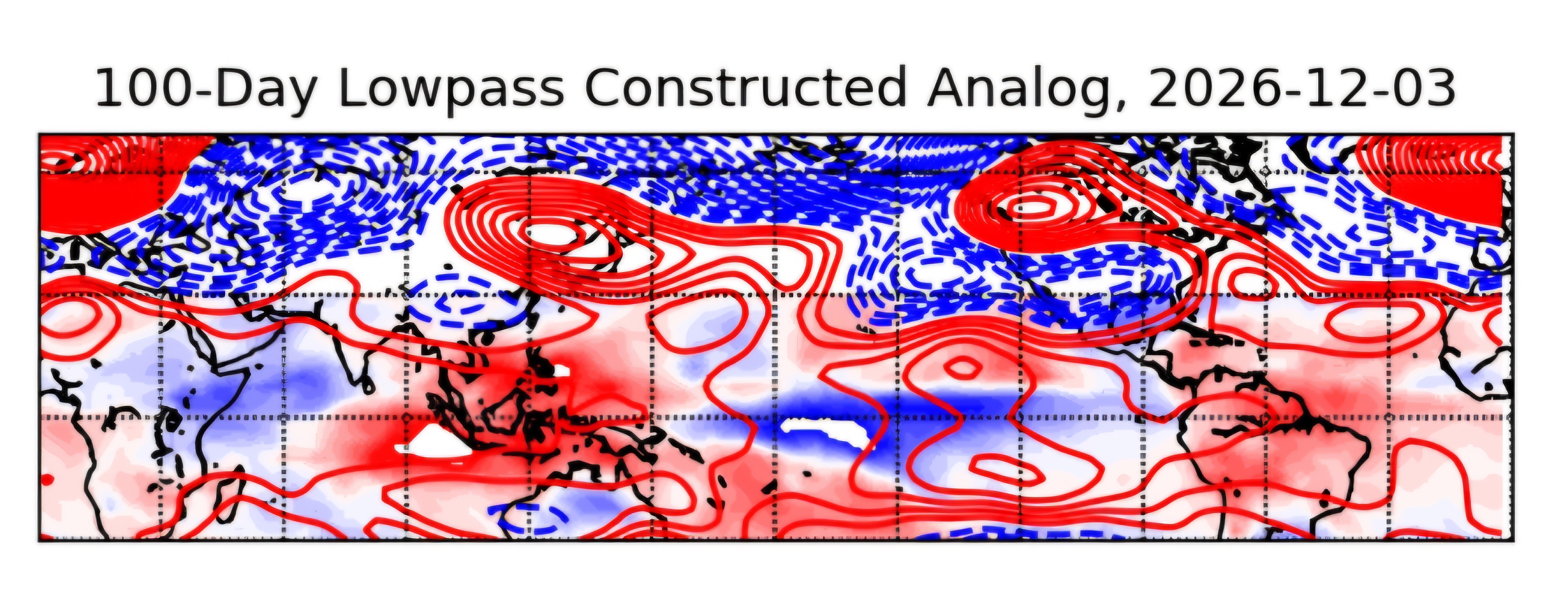
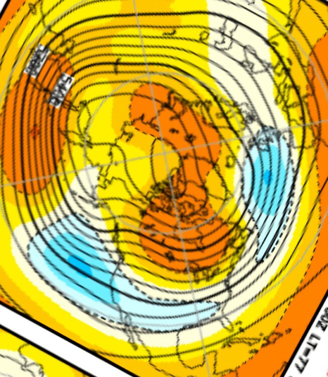
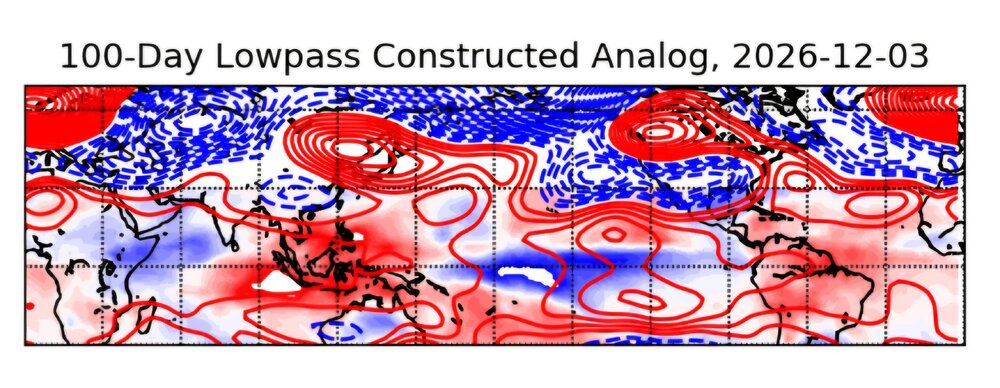
Interesting that the JMA 3 mth updated, it goes out to NOV. Its already showing the Canadian ridge in place which is ahead of schedule. Paul Roundy posted last week that one of his tools has the Candian ridge in early DEC similar to 1997. It is possible, some interest in DEC may develop early then fade. Can we get any cold air at that point is the big question. Paul's tool suggest block further west in Canada early.
-
The pattern continues as well with me being in the office tomorrow...always.
-
Morning discussion from LWX seems to suggest sneaky severe day. While likely do be MRGL, they do mention much higher threat possible Latest guidance is a bit slower and further west/northwest with the position of a cold front on Thursday. SLP progs hint at two subtle warm front type features that will lift northeast during the day on Thursday ahead of a pair of weak surface lows (one near PA/NJ, and the other near central VA). Where this front ends up just prior to peak heating will be crucial in determining the severe weather threat locally on Thursday. Forecast soundings show strong mid-level capping west of the front Thursday afternoon, with no capping and notably stronger CAPE approaching or exceeding 2000 J/kg east of it. The consensus is for this front to be more or less over I-95 Thursday afternoon during peak heating, though there is some variance anywhere from near the Blue Ridge to the Chesapeake Bay. Mid-level lapse rates start the day unimpressive, around 5 C/km likely due to saturation aloft associated with a weak wave of showers, but steepen slightly closer to 6 C/km by afternoon due to some cooling aloft. The extent of any clouds and showers cast some uncertainty on the extent of heating and instability later in the day. The background environment is favorable for strong to severe updrafts and even supercells. An 80-90+ kt upper jet will pivot over the area, with its right entrance ascent positioned over the surface frontal zone in the afternoon. Mid-level heights stay relatively steady, but PVA (strongest north) will be prevalent ahead of the aforementioned mid/upper wave and jet. Flow will increase through the column, with 25-40 kts in the 2-5 km AGL layer and effective deep layer bulk shear around 40 kts. SRH also increases to 100-200 m2/s2. Initial discrete cells in this environment may quickly grow upscale into a line capable of surges of strong to severe straight-line wind and a few embedded spin ups. Some hail can`t be ruled out in the strongest storms due to cooling temps aloft. Finally, although Corfidi vectors are not too low (10-15 kts), on the mesoscale some backbuilding or training potential may exist on the tail (southwest) end of any developing line heading into the evening. Again, the highest potential will be along and east of the front which currently appears to be near I-95 during the afternoon into the early evening hours. Although somewhat conditional based on (1) the placement of the front, and (2) the degree of instability, Thursday`s severe weather and excessive rainfall risk bears monitoring. For now, given the uncertainties listed above, the risk is more in the Marginal (level 1 out of 5) bin for severe weather (i.e. any damaging winds, large hail, tornadoes), but with a conditionally much higher ceiling than most typical late summer days. The excessive rainfall/flood risk may be even more conditional due to uncertain mesoscale factors and lingering drought.
- 1,995 replies
-
- 1
-

-
- severe
- thunderstorms
- (and 7 more)
-

Augdewst 2026: Summer's Last Stand
Ginx snewx replied to Prismshine Productions's topic in New England
Edibles?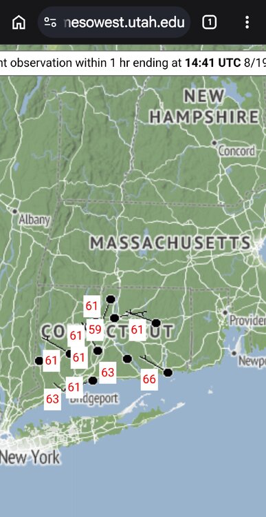
-

Augdewst 2026: Summer's Last Stand
Chrisrotary12 replied to Prismshine Productions's topic in New England
Didn’t SSTs down there hit 100 a couple years ago?