Stebo
-
Posts
40,472 -
Joined
-
Last visited
2 Followers

About Stebo

- Birthday 02/07/1985
Recent Profile Visitors
23,685 profile views




(002).thumb.png.6e3d9d46bca5fe41aab7a74871dd8af8.png)

-
We are 1 off the record here, i fully expect us to break it and surpass the record of 83 before the end of the day.
-
Going to be hard to buy a cloud for most of this week.
-
Vacation starts tomorrow can't wait to hit the road. Would have preferred it be a bit warmer but beggers can't be choosers.
-
I beleaf the leaves are going to be pretty solidly changed for my vacation next week, very hyped.
-
I like hearing this, I am doing a vacation around Lake Huron and Lake Superior coming back in through Minnesota in a few weeks. I look forward to leaf peeping.
-
Nino is notorious for early snow, I'll go Oct 27th
-
The last 3 strong nino/super nino have been bad for us, and its been what 5 years since we hit or went above average. at some point you just have to look at things at face value, its not good, and may very well be very bad.
-
My thoughts on this winter, it is going to suck.
-
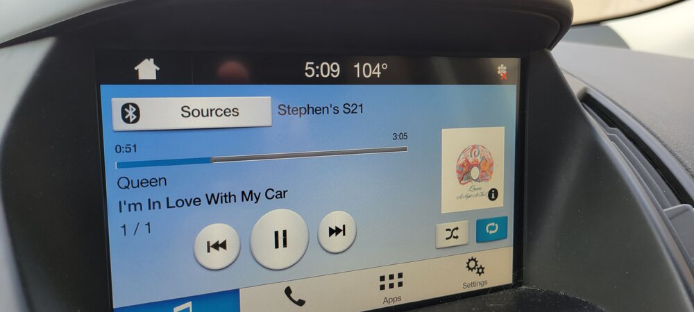
Official Ford temperature while stuck in traffic downtown
-
 If I had to leave here it would probably be for somewhere in New England. But I don't ever see myself leaving Michigan, I love this state too much.
 -
A grand total of .02 here overnight.
-
Cracy considering we were 72 for a low last night here at KDTW.
-
A good fall outbreak and this happens. I honestly expect it at this point.
-
I only know pain
-
Yeah, not a fan of those tor warnings from IWX, could have easily just done SVRD and then circulation base a TOR if needed.