Stebo
-
Posts
40,470 -
Joined
-
Last visited
Content Type
Profiles
Blogs
Forums
American Weather
Media Demo
Store
Gallery
Everything posted by Stebo
-
Going to be hard to buy a cloud for most of this week.
-
Vacation starts tomorrow can't wait to hit the road. Would have preferred it be a bit warmer but beggers can't be choosers.
-
I beleaf the leaves are going to be pretty solidly changed for my vacation next week, very hyped.
-
I like hearing this, I am doing a vacation around Lake Huron and Lake Superior coming back in through Minnesota in a few weeks. I look forward to leaf peeping.
-
Nino is notorious for early snow, I'll go Oct 27th
-
The last 3 strong nino/super nino have been bad for us, and its been what 5 years since we hit or went above average. at some point you just have to look at things at face value, its not good, and may very well be very bad.
-
My thoughts on this winter, it is going to suck.
-
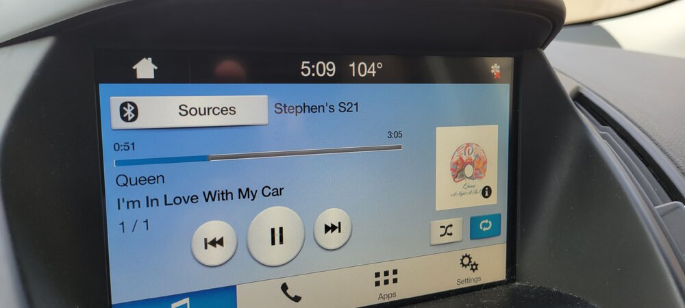
Official Ford temperature while stuck in traffic downtown
-
 If I had to leave here it would probably be for somewhere in New England. But I don't ever see myself leaving Michigan, I love this state too much.
 -
A grand total of .02 here overnight.
-
Cracy considering we were 72 for a low last night here at KDTW.
-
A good fall outbreak and this happens. I honestly expect it at this point.
-
I only know pain
-
Yeah, not a fan of those tor warnings from IWX, could have easily just done SVRD and then circulation base a TOR if needed.
-
Private weather station measured 96 west of Joliet per LSR.
-
Ahh, yeah that would make sense considering the scope of the state down there. IL doing it is absolutely nuts.
-
This will push the state past 200, which I believe is a first for any state.
-
...A SEVERE THUNDERSTORM WARNING REMAINS IN EFFECT UNTIL 1145 AM CDT FOR SOUTHEASTERN WILL...NORTHEASTERN KANKAKEE...NORTHERN NEWTON AND LAKE COUNTIES... At 1054 AM CDT, severe thunderstorms were located along a line extending from Markham to near Crete to near Bradley, moving east at 75 mph. THESE ARE DESTRUCTIVE STORMS producing measured winds gusts of 90 to over 100 mph. HAZARD...100 mph wind gusts. Literally the same areas smoked last week.
-
Also confirmed tor near Flossmoor.
-
* Severe Thunderstorm Warning for... Southeastern Will County in northeastern Illinois... Northeastern Kankakee County in northeastern Illinois... Northern Newton County in northwestern Indiana... Lake County in northwestern Indiana... * Until 1145 AM CDT. * At 1048 AM CDT, severe thunderstorms were located along a line extending from Western Springs to Frankfort to near Lakewood Shores, moving east at 50 mph. THESE ARE DESTRUCTIVE STORMS producing measured winds gusts of 80 to over 90 mph. HAZARD...90 mph wind gusts. Big warning for southside, some bins over 100mph down there.
-
LSR from Aurora for 85mph measured at the airport.
-
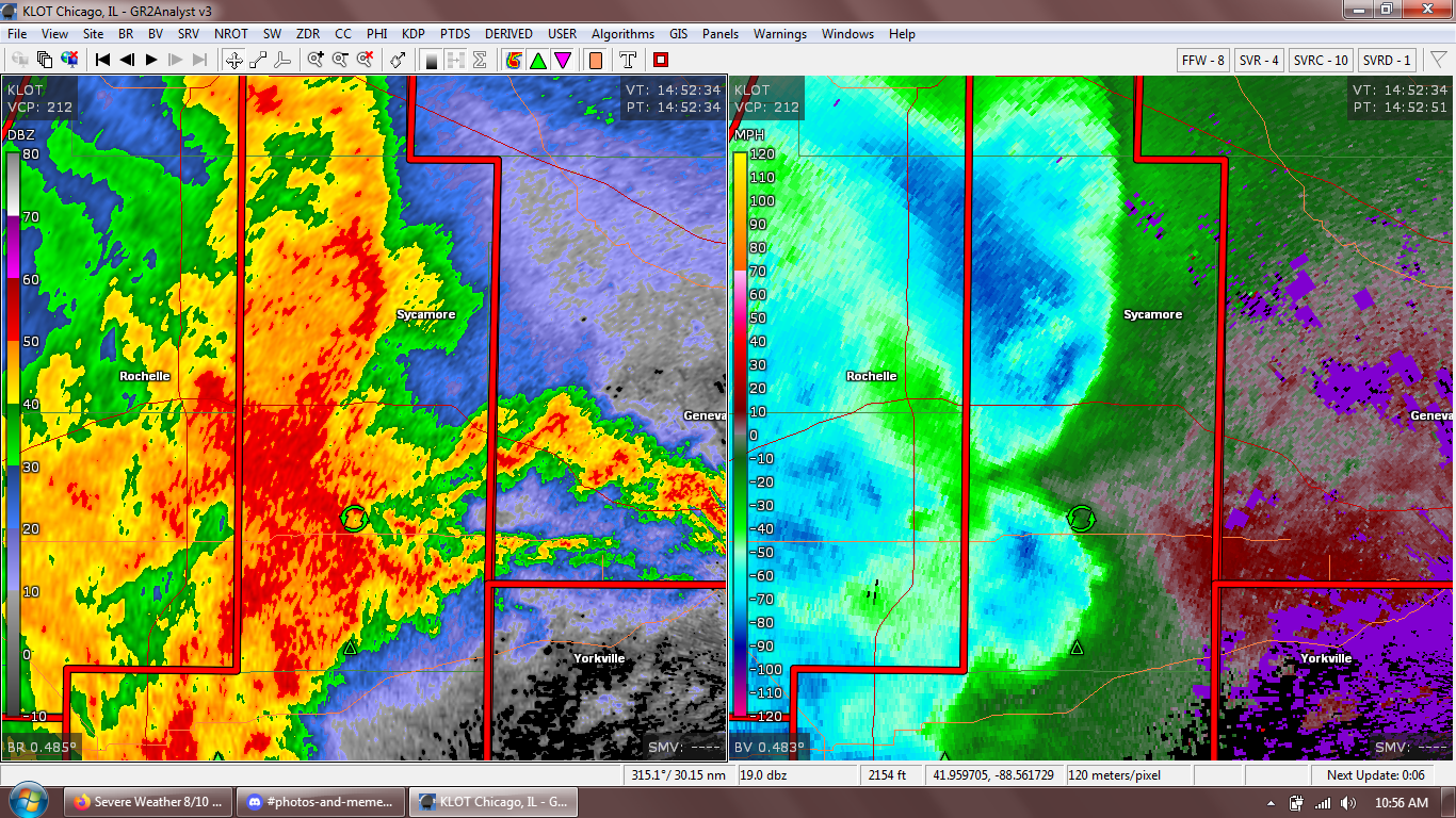
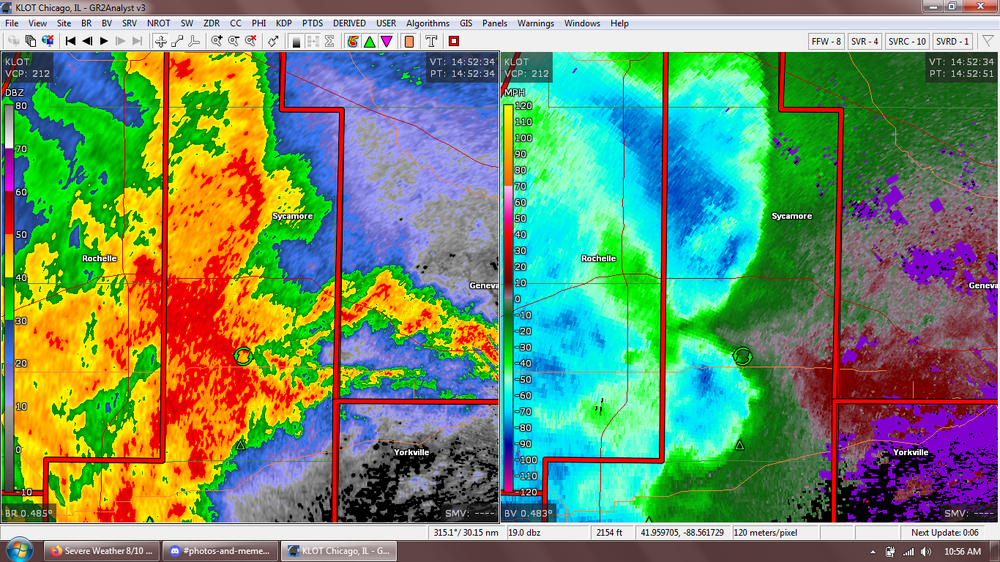
several 80mph bins in there. all the warnings are for 70mph rn.
-
What a mess of modeling today.
-
Considering how our recent winters have gone, I am not remotely optimistic of plenty of wintry opportunities. I think this has the making of a sub 20" season.
-
Shorts on xmas probably.