All Activity
- Past hour
-
 NAMs/RGEM awfully close to all snow here..even so, stronger low wants to flip it back early am.
 -
At least it looks like the snowfall rates will increase before the flip.
-
Great news that Jim Cantore is reporting from Central Park. He can validate the snowfall measurement.
-

Central PA Winter 25/26 Discussion and Obs
Ruin replied to MAG5035's topic in Upstate New York/Pennsylvania
sleet line is just north of dc atm -
This is gonna be a big dog
-
What time does the storm end?
-
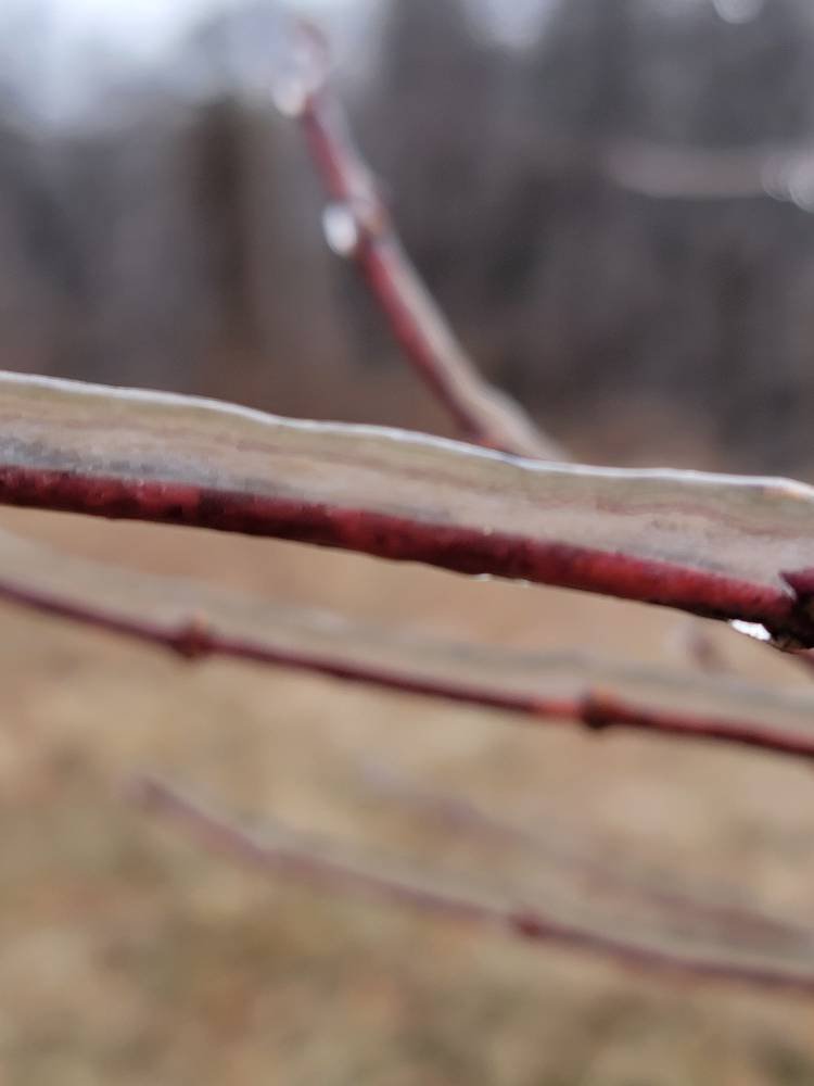
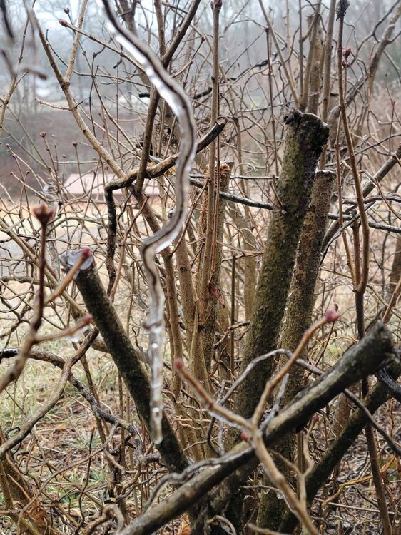
 Power went out here at 5:30. Not sure on how much ice accumulation but it was between .25 and .5 if i were a betting man.
 -
 Baltimore got the heavy rates that it needed early on, so they’ll be fine and it will last for a very long time.
 -

Central PA Winter 25/26 Discussion and Obs
anotherman replied to MAG5035's topic in Upstate New York/Pennsylvania
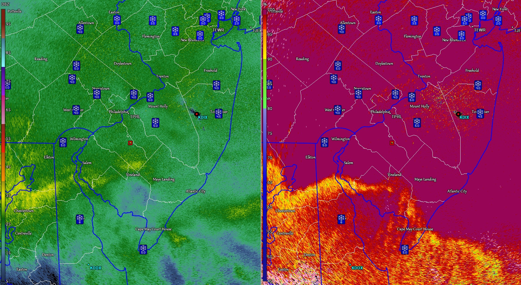
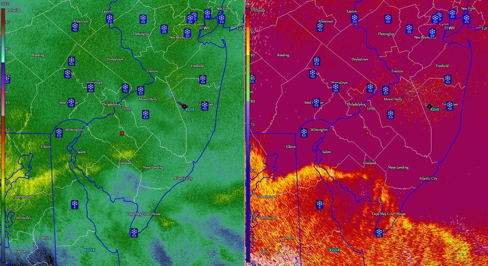
Look at a real radar. It’s the yellows. -

Pittsburgh/Western PA WINTER ‘25/‘26
blackngoldrules replied to Burghblizz's topic in Upstate New York/Pennsylvania
Almost a whiteout outside right now. -
Around 5".
-
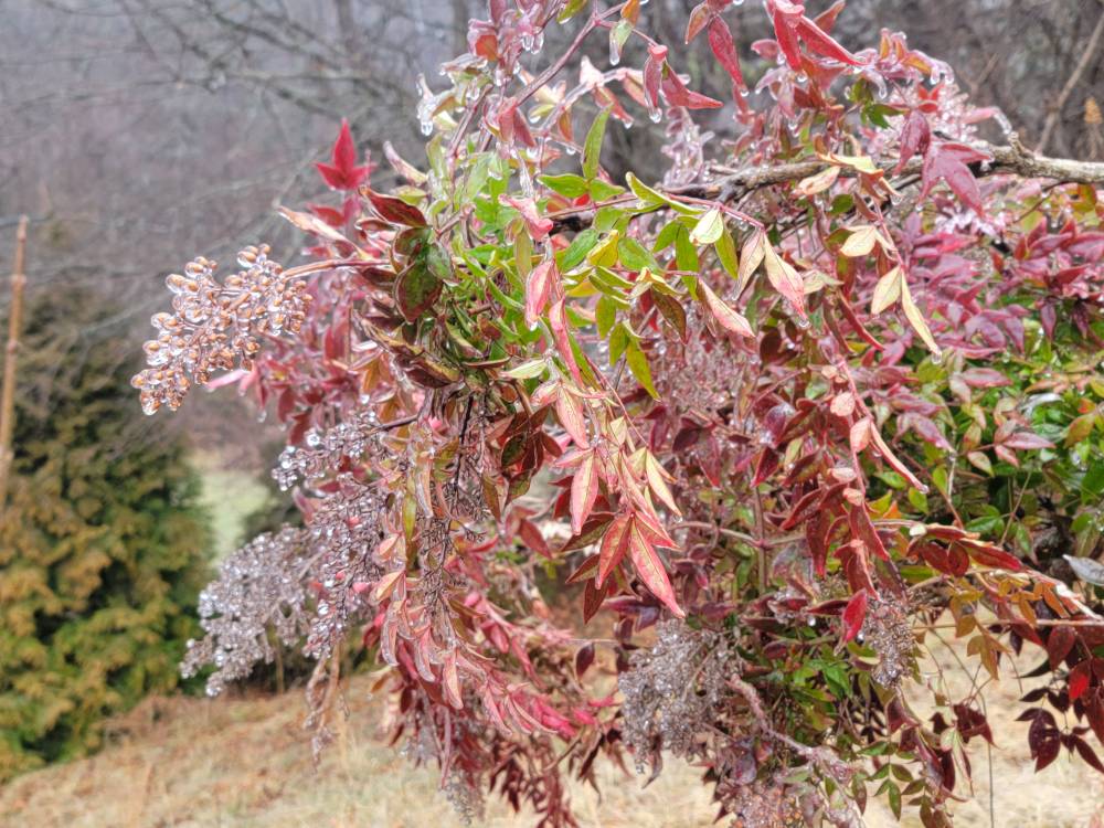
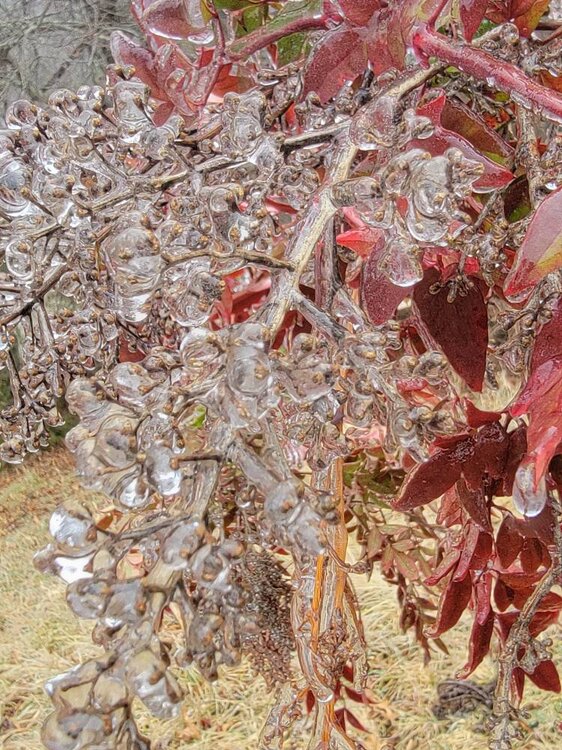
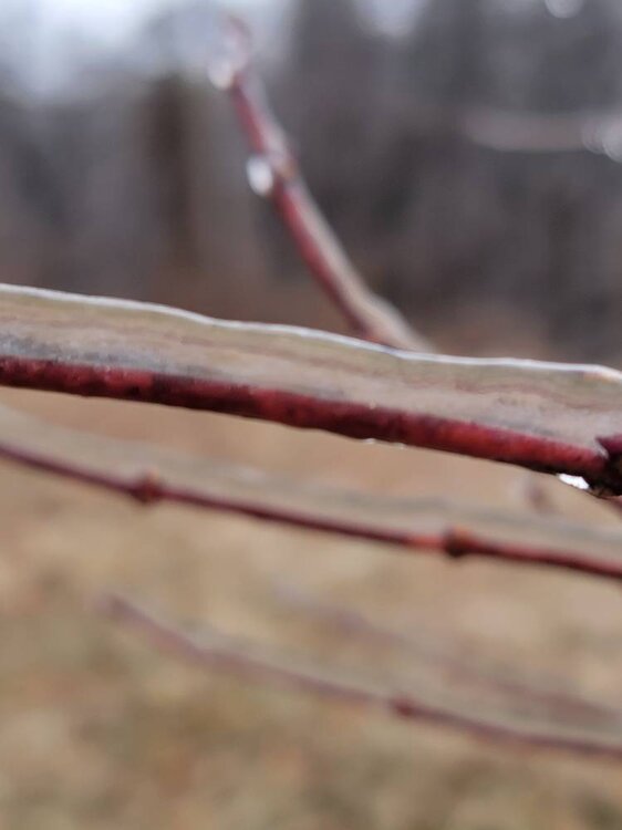
A few more pics from this morning. Still 29 degrees and freezing rain. Sent from my SM-G998U using Tapatalk
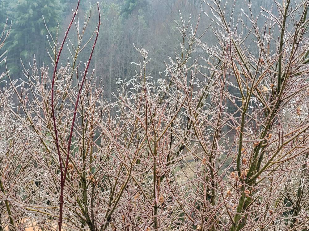
-
4° w/ heavy snow 5" otg With these rates we are gonna have a foot by noon
-
 Wow back to north central Jersey!!
 -
Where are you in Morris? I’m in Chester. We are easily hitting 12+ in my opinion. It’s 6 degrees here with heavy snow. I measured 4.5” just now.
-
 yeah, but the storm is going to wildly bust on the short duration side given to how fast it's accelerated, huh
 -

January 24-26: Miracle or Mirage OBS Thread!
MDScienceTeacher replied to Jebman's topic in Mid Atlantic
Thx! I am glad I didn’t change my trip. -

Winter 2025-26 Medium/Long Range Discussion
DocATL replied to michsnowfreak's topic in Lakes/Ohio Valley
Clipper parade? . -
Anyone with the knowledge want to chime in on SLEET ratios? I've seen 2-4:1 listed all over, not a large range, I don't have a clue what influences that like I do snow. Are there specific "growth" conditions for less dense ice? Or is the upper end of the range the result of only partially melted snow?
-
Pouring sleet, wow
-
1/24-1/25 Major Winter Storm - S. IL, IN, and OH
DocATL replied to A-L-E-K's topic in Lakes/Ohio Valley
Close to 2 inches in Naperville though we might cash in on a bit more lake enhancement based on simulated radar. . -
Sleet mixing in here as well. Dang was hoping to hold on to at least noon. Still have snow mixing in though. Call it 7 inches before the changeover.
-
Same here. Doubt we have had more than .3 liquid equivalent. Dont think we come close to 1 inch of moisture
-
Central PA Winter 25/26 Discussion and Obs
Ruin replied to MAG5035's topic in Upstate New York/Pennsylvania
nah its still hours away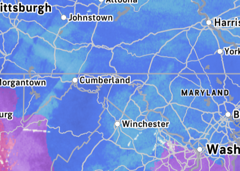
-
Torn between getting invested early or ignoring everything until Friday