-
Posts
10,209 -
Joined
-
Last visited
About snywx

- Birthday 01/25/1977
Profile Information
-
Four Letter Airport Code For Weather Obs (Such as KDCA)
KMGJ
-
Gender
Male
-
Location:
3 mi W of Middletown, NY
Recent Profile Visitors
8,961 profile views
-

Winter 2024-2025 All Tri-State Snowfall Totals Maps
snywx replied to The 4 Seasons's topic in New York City Metro
4/12 - 3.1" ytd 34.2" -
I received just over 3" here and im under 1000'. Nice little over performer up here
-
A general 2-5" event here in Orange county. Even lower elevations got in on the fun.
-
Yeah for sure. I heard it pinging away on the windows earlier this morning
-
32 w/ steady light snow falling 3.1” otg here at 850’
-

Discussion-OBS snow event sometime between 06z Thu 2/20-12z Fri 2/21?
snywx replied to wdrag's topic in New York City Metro
snow line? -

Discussion-OBS snow event sometime between 06z Thu 2/20-12z Fri 2/21?
snywx replied to wdrag's topic in New York City Metro
20f w/ lgt snow dusting -

Winter 2024-2025 All Tri-State Snowfall Totals Maps
snywx replied to The 4 Seasons's topic in New York City Metro
After Saturdays event im up to 31.1" 3 miles W of Middletown NY -

OBS-Nowcast Noon Saturday 2/15-Noon Monday 2/17
snywx replied to wdrag's topic in New York City Metro
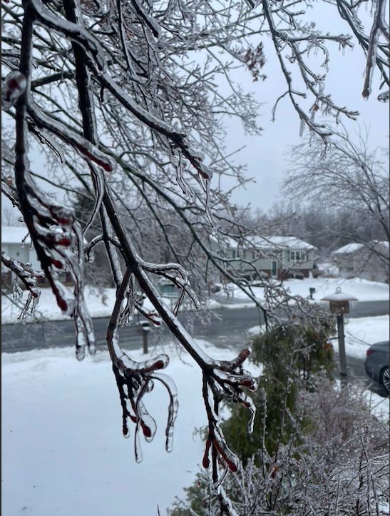
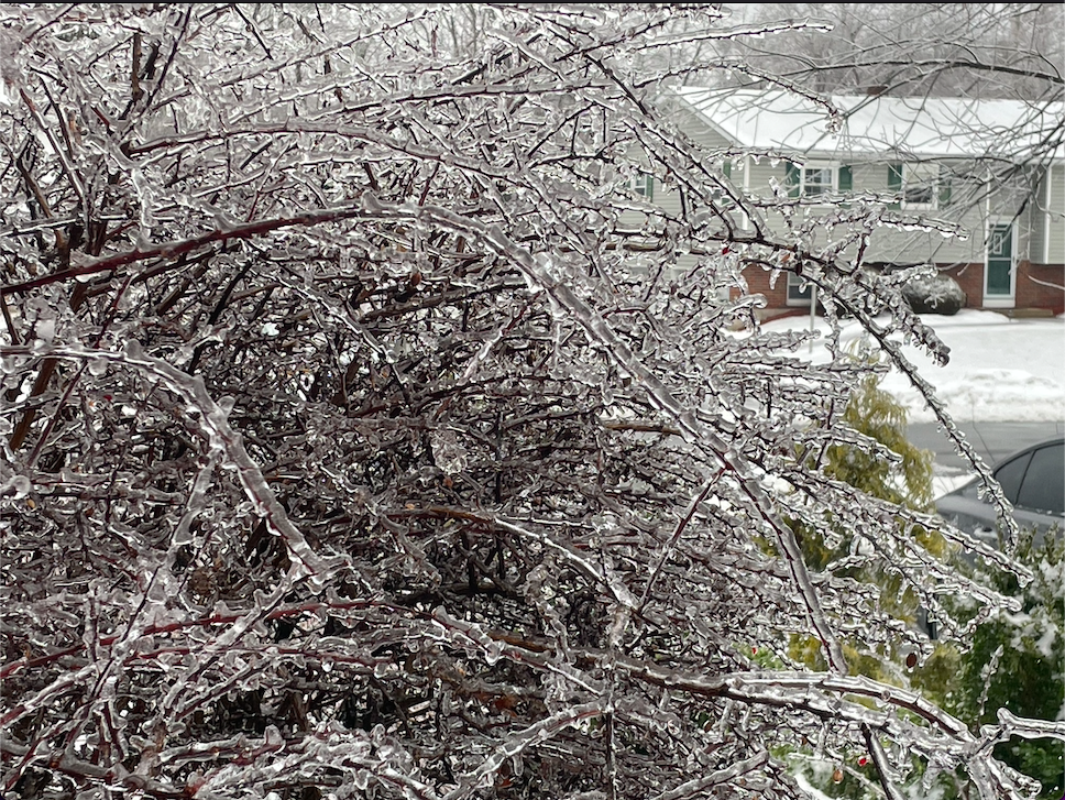
I see lots of O& R trucks hanging out on standby out here. They are def anticipating power outages Temp finally above freezing 34°- 475 replies
-
- 3
-

-
-
-
I agree 100% A bit surprised no WSW was issued for Orange
-

OBS-Nowcast Noon Saturday 2/15-Noon Monday 2/17
snywx replied to wdrag's topic in New York City Metro
Rain w/ sleet and snow mixed in temp 32- 475 replies
-

OBS-Nowcast Noon Saturday 2/15-Noon Monday 2/17
snywx replied to wdrag's topic in New York City Metro
Stuck at 32 here ridiculous- 475 replies
-
- 2
-

-

OBS-Nowcast Noon Saturday 2/15-Noon Monday 2/17
snywx replied to wdrag's topic in New York City Metro
Yeap.. 4-5" here of pure concrete. Its not going anywhere anytime soon- 475 replies
-
- 1
-


.thumb.jpeg.f5c6ba9d911ec96b3b124f8606aee58e.jpeg)


