All Activity
- Past hour
-
Graham County looking to get smacked good with large hail.
-
 18z HRRR is wild for some
 -
dynamic setup expect downpours that radar isn't showing right away
-
Flash flooding not too far south of me. Still not a drop yet for me, but models still say it's coming later.
-
For now
-
Hearing thunder to my southwest.
-
 Another quick blast here in Holyoke, up to 0.94" now
 -
On the parkway , north now about to get wild
-

E PA/NJ/DE Summer 2026 Obs/Discussion
RedSky replied to PhiEaglesfan712's topic in Philadelphia Region
Guidance was too far south with the activity -
 So Don…you think East Hartford gets a half inch total?
 -
storm rapidly developing over northern Middlesex - - Metuchen Edison Woodbridge area - this is getting wild now- radar can't keep up - heavy downpours
-
I just picked up 0.81” in under 40 minutes.
-
Line building out in the 81 corridor just before 4pm.
-
I'm in Frederick at work, but the weather station back home recorded about a half inch of rain and a nice 10 - 15 degree drop in temps.
-
 I’m going to take the Kev & TBlizz approach. WXW1 doesn’t get more than .50” total.
 -
Flash Flood warning northeast NJ FFW from KOKX
-
Lights came on in the parking lot here.
-
Getting drilled here in Ramsey. Very heavy rain and lightning.
-
E PA/NJ/DE Summer 2026 Obs/Discussion
RedSky replied to PhiEaglesfan712's topic in Philadelphia Region
Only. 30" today and a trace yesterday. Round one today a certified bust imby. Round 2 looks meh to the west No dent in the drought here as yet this stuff is scattered -
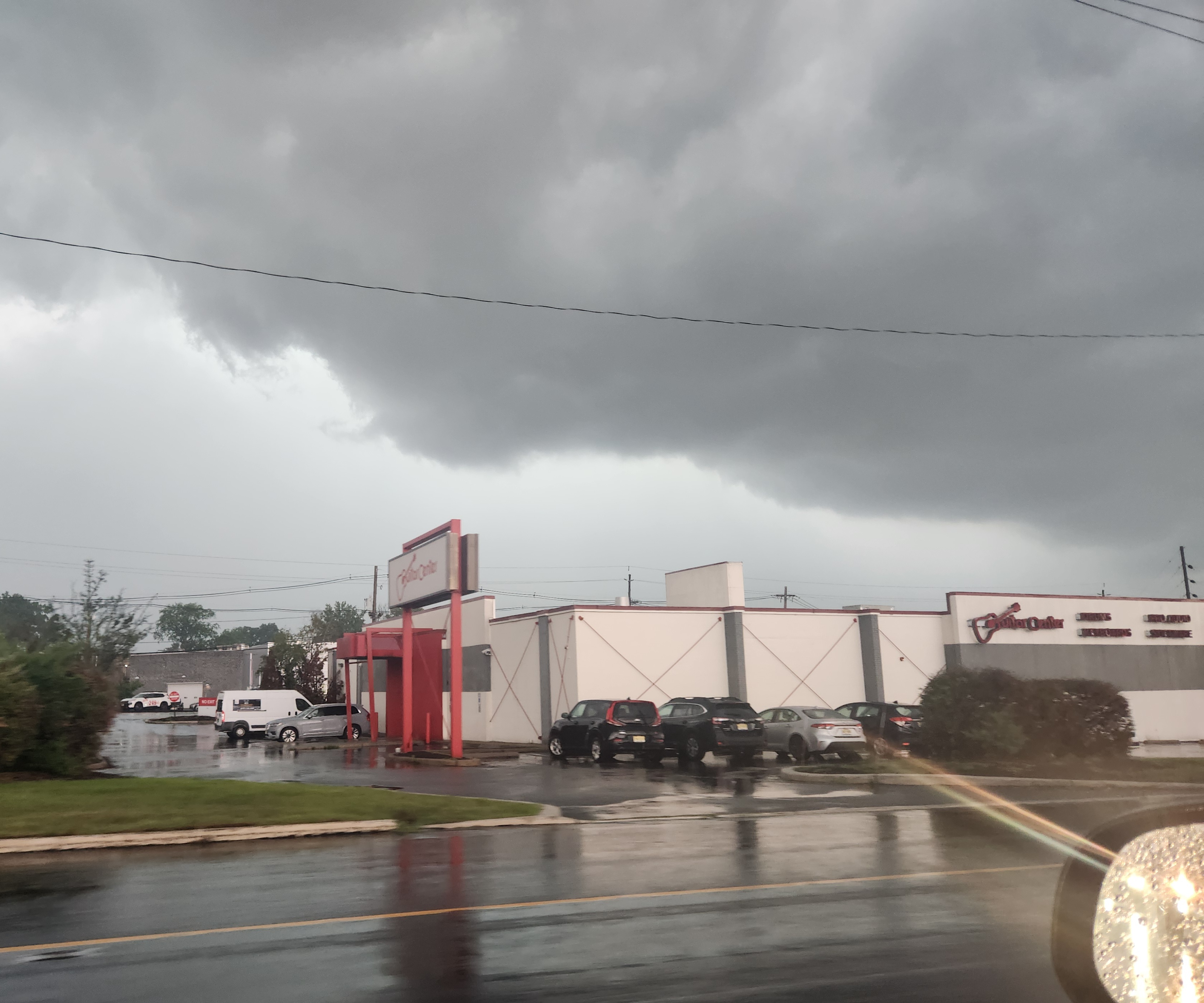
Picture doesn't do it justice. super dark looking north
-
Even with sun the atmosphere has stabilized considerably over central NC
.gif.c095f45f06dfe178c837a7b80f63c0be.gif)
-

2026 Mid-Atlantic Severe Storm General Discussion
somecallmetim replied to Kmlwx's topic in Mid Atlantic
Line to your west warned and looking healthy for now. -
 You can envision swirling pools and eddies in rivers and gorges where alll you see are pony tails and pony o’s, all tangled up, like a swirling drain