All Activity
- Past hour
-
It must be the giant UHI and massive airport that has sprung up around International Falls. I believe the International Falls metro area is only slighty smaller than NYC's.
-
A minimum of 70° there this time of year is ridiculous. Would be the equivalent of an 84° low at LGA in May. So some pretty extreme stuff.
-
1.30" for this event so far. Not bad.
-
Not good for a person battling depression. It makes it infinitely worse.
-
These over the top heatwaves seem to be increasing as everything heads north. Our summer climate more mirrors the coastal Carolinas. And Montreal the old NYC.
-

Texas 2025 Discussion/Observations
canderson replied to Stx_Thunder's topic in Central/Western States
Don’t melt this week. -
It has less than a quarter inch for DC and Baltimore from 12z to 00z. I will take the over.
-
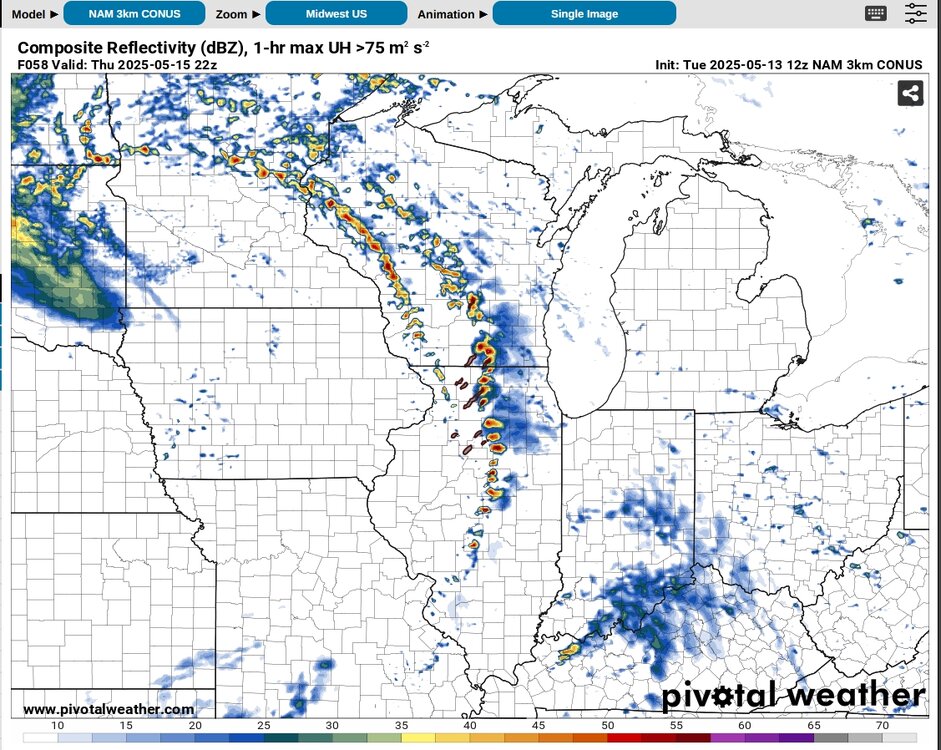
What doesn't look great about it to you? There are some potential failure modes to be sure but I think it checks a lot more boxes than that day did. *Edit Annnnnd 12Z 3K NAM coming in hot (unlike any of the CAMs at this range for 4/28). Unusual for this model to resolve semi-discrete convection like this. These simulated cells are moving through a strongly unstable and sheared environment. The solution verbatim would also resolve a lot of the timing issues that have been shown on the coarser models (especially the GFS).
-
The most impressive heat this month is up by International Falls. So an early clue as to where the strongest summer heat may be focused closest to the drought feedback zones in the Western U.S. to the Plains. The new all-time May high of 96° would be the same as 100° here in May. RECORD EVENT REPORT NATIONAL WEATHER SERVICE DULUTH MN 414 AM CDT MON MAY 12 2025 ...RECORD DAILY AND MONTHLY HIGH TEMPERATURES SET AT INTERNATIONAL FALLS MN YESTERDAY... A RECORD DAILY HIGH TEMPERATURE FOR MAY 11 OF 96 DEGREES WAS SET AT INTERNATIONAL FALLS MN YESTERDAY. THIS BREAKS THE OLD RECORD OF 83 DEGREES SET IN 1991 AND TIED IN 1993. A RECORD MONTHLY HIGH TEMPERATURE FOR THE MONTH OF MAY WAS ALSO SET AT INTERNATIONAL FALLS YESTERDAY. THE HIGH TEMPERATURE OF 96 DEGREES YESTERDAY BREAKS THE PREVIOUS RECORD OF 95 DEGREES SET ON MAY 21 1964.
-

Occasional Thoughts on Climate Change
TheClimateChanger replied to donsutherland1's topic in Climate Change
This is such a big anomaly, I wonder if it's just some sort of data entry error. -
Occasional Thoughts on Climate Change
TheClimateChanger replied to donsutherland1's topic in Climate Change
Here's the difference for each site. The rankings have 1978 as 0.4F warmer in this District. Idk. Coatesville 1 SW: 0.7F cooler in 1978 Devault 1 W: 0.6F warmer in 1978 Drexel University: 2.2F cooler in 1978 Ephrata: 2.5F cooler in 1978 George School: 2.3F cooler in 1978 Graterford 1 E: 2.3F cooler in 1978 Holtwood: 1.8F cooler in 1978 Landisville 2 NW: 2.0F cooler in 1978 Lebanon 2 W: 2.2F cooler in 1978 Marcus Hook: 2.2F cooler in 1978 Morgantown: 1.0F cooler in 1978 Philadelphia (City): 3.8F cooler in 1978 Philadelphia (AP): 1.0F cooler in 1978 Phoenixville 1 E: 0.8F cooler in 1978 Reading 3 N: 1.6F cooler in 1978 West Chester 1 W: 1.1F cooler in 1978 -
I've noticed that heavy rainfall events tend to jump north and east last minute. Perhaps the referenced CHO -> Winchester rain is going to fall in the metros?
-
and maybe get rid of the spam bots
-
Occasional Thoughts on Climate Change
TheClimateChanger replied to donsutherland1's topic in Climate Change
I will say the adjustments are not perfect. There was one thing that had me scratching my head. I was confused that I thought I had made a mistake and was looking at the wrong data! 1976 is shown as the fifth coldest July on record for Pennsylvania's Division 3, with a reported mean of 71.2F on Climate at a Glance. This appears to be entirely an artifact of whatever adjustments they are making. The raw data reflects a cooler than normal July, but only by a little bit. The reported mean is 74.6F. By comparison, 1978 was much colder with a reported mean of 72.7F, yet Climate at a Glance has it at 71.6F or 0.4F warmer than 1976! Looking at the station composition, they add Blue Marsh Lake, Octoraro Lake, and get rid of Philadelphia 2304 Mkt [inner city] and West Grove 1 SE. So the 1978 set is more rural and not directly comparable, but what's odd is if you compare every site that it's common to both datasets 1978 is still significantly cooler across the board. Yet Climate at a Glance shows it as warmer. I highly doubt 1976 was actually the 5th coldest July on record for this climate division. I'm not really sure what's going on here, and whether it affects other districts. 1976 was the only year that had anywhere near that deviation from the mean. Wonder if it's just some sort of data error? -
or it could be just because it just doesn’t look all that great and they actually realize it this time.
-

E PA/NJ/DE Spring 2025 Obs/Discussion
BBasile replied to PhiEaglesfan712's topic in Philadelphia Region
Just had a band of moderate rain miss me by so little that I could feel the slightly cooler air from it, but not a drop here. Hundreds of feet. lol 0.01" so far. 65F -
Thank you! I'm glad I'm not the only one who thought I heard a plane. Still it was a much flatter sound, vs the approach depart Doppler effect on sound waves. Nerd out time! Anyway, I was in a wide span gym at the time. Perhaps I heard the roof rattling? Never felt it. Plane like sound was too flat to be a plane. I dismissed it as HVAC grumbling. Wife was at home and happened to be upstairs. She said she felt it noticeably, which makes sense upstairs, but she first thought it's a truck on our street. Getting to the main weather pattern, no May heat is seen. Yeah it'll get pretty warm later this week and again next week, but that's between cold fronts. I don't really count that as a heat ridge. Then we might close out May nice and cool esp in the Apps. Out in Calif they say earthquake weather is warm and dry. Apparently in Tennessee it's mild and showery. Hmmm maybe climo is a good place to start.
-
Wow the 12Z Nam cannot even get hour 1 correct.
-
Please pin this thread and unpin the El Niño 2023-4 thread. 2024-5 La Niña thread remaining pinned is ok since it’s still active. TIA @stormtracker @jburns @ORH_wxman
-

2025 Mid-Atlantic Garden, Lawn, and Other Green Stuff Thread
wxdude64 replied to mattie g's topic in Mid Atlantic
Yep, same here. I've pulled 3/4 off me in last week. Wonder if the dry spell we had back in April had anything to do with the 'abundance'? -
Looks like what falls today will be mostly light
-
Occasional Thoughts on Climate Change
TheClimateChanger replied to donsutherland1's topic in Climate Change
Anyways, I went through the raw published figures for the month of July for Pennsylvania's Division 3 [Southeastern Piedmont] back to 1957, and the raw numbers were warming at 3.3F/century. Climate at a Glance shows 5.8F/century. This isn't evidence of any error or nefarious intent, however; the "raw" trend that I calculated is just the change in the simple arithmetic mean. I did not make any adjustments/homogenization for changes in site location, elevation and urban character. The early years were "Philadelphia heavy" so they would be inflated relative to the recent means, with up to 4 of the stations being in the city. For comparison, PHL shows a warming trend of 7.8F/century over the same time frame. Given the changing composition of the stations, I suspect the reported trend is closer to the actual trend, although I can't rule out it being slightly overstated. -
Happy for you. The tables have turned it appears.
-
Record warmth continuing into May. https://bsky.app/profile/climatecasino.net One for the record books -- May 9, 2025 was the hottest May 9th on record globally, with daily records dating back to 1940.
-
Radar looks like a snooze fest here, yawn. Mount Holly has .25 to .50 for today and .50 to .75 tonight for my area. I am not so sure about that .


