All Activity
- Past hour
-

2026-2027 Strong/Super El Nino
michsnowfreak replied to Stormchaserchuck1's topic in Weather Forecasting and Discussion
Same here in the Great Lakes- strong ninos usually are bad news. But its all relative. Winters in the Lakes and interior northeast are much harsher than the coast. So winter is more often characterized as a whole versus the coast where one huge storm (or lackthereof) often makes or breaks the winter. So basically, I already know im going to have winter, its just highly likely I'll get less of it than usual. Whereas those along coast from NYC south to the midatlantic wont be surprised in April 2027 if they've just seen a 5" winter with no storms or a 35" winter thanks to a massive storm. -
Getting foggy outside quickly this evening.
-
Picked up another 1" exactly today. This puts me at 4.14" for the month.
- Yesterday
-
Didn’t matter, everything evaporated heading into central NC again
-
As of 8 PM Taunton .66 S Wey .54 WTTTE
-

2026-2027 Strong/Super El Nino
MarcmmKU replied to Stormchaserchuck1's topic in Weather Forecasting and Discussion
For the interior northeast strong nino is almost always bad news. Coast can get a good fraction of their seasonal totals from 1 KU type storm, which are more likely to occur in traditional niños. -
2026-2027 Strong/Super El Nino
MarcmmKU replied to Stormchaserchuck1's topic in Weather Forecasting and Discussion
Very hard to escape -pna now. Was kinda a miracle this last winter was better in that regard. -

2026-2027 Strong/Super El Nino
mitchnick replied to Stormchaserchuck1's topic in Weather Forecasting and Discussion
Looks like the Euro failed on this warm forecast. -
2.16 inches here and more to come tomorrow morning.
-

Mid-Long Range Discussion 2026
WinstonSalemArlington replied to BooneWX's topic in Southeastern States
-

2026 Spring/Summer Mountain Thread
Maggie Valley Steve replied to Buckethead's topic in Southeastern States
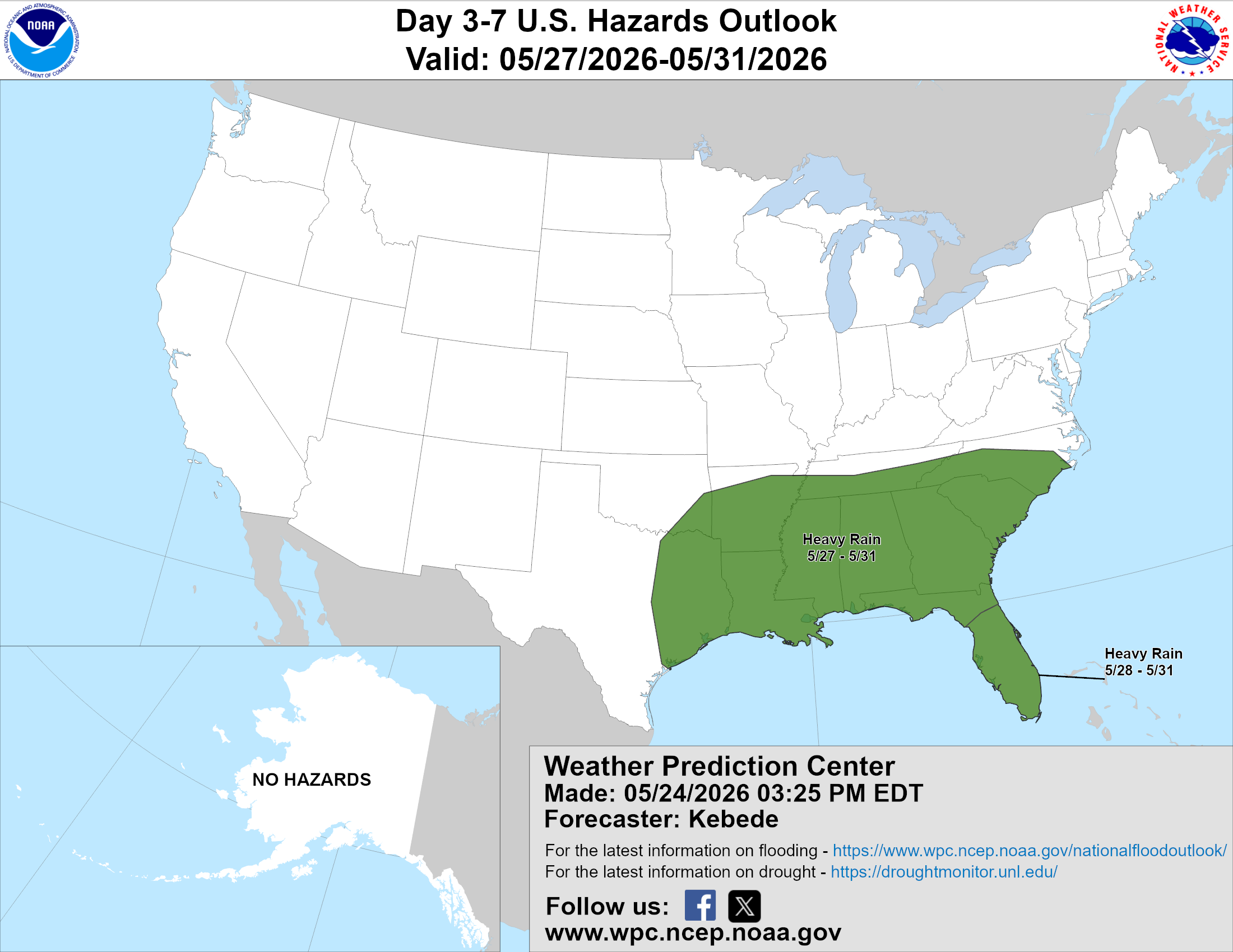
Just updated...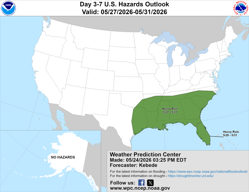
-
HRRR and GFS try to paint that as well.
-
below normal days for the late spring and early summer actually make me happy like 72 and sunny! not rain and 50 degrees
-
SE MA crushed wow
-
Euro shows most along and south of 50 getting another inch plus by the end of Tuesday.
-
A few severe storms are out west of Minneapolis, where the dew points are only 50 degrees.
-
High of 86 in ATL area when sun came out. Picked up another quarter inch of rain during a storm this afternoon. Humid, humid, humid.
-
It seems like every time you mention the upper Plateau tornado spin ups, one happens close to me. You may have something figured out for this region.
-
1.50" over here
-
51F/ .37"
-
3.56 now. Drizzle all day
-
More Below Temps on the way ?
-
Much of NW Suffolk closing in on 3".
-
You don't see this usually in late May. Saturday’s high temp of 58° is the coldest high temp on record for May 23rd in Greensboro
-
Not burned but some spots crispy. Been nice rains this aftn.







.thumb.gif.f92b16c631a1d15d405ed77b33f0710d.gif)