All Activity
- Past hour
-
Past her now, if there was anything
-

2026 Mid-Atlantic Severe Storm General Discussion
EastCoast NPZ replied to Kmlwx's topic in Mid Atlantic
I made that post earlier from the 2nd batch of rain this afternoon that went around us. There was a 3rd batch a while ago that dropped .5" finally. Better than nothing. -
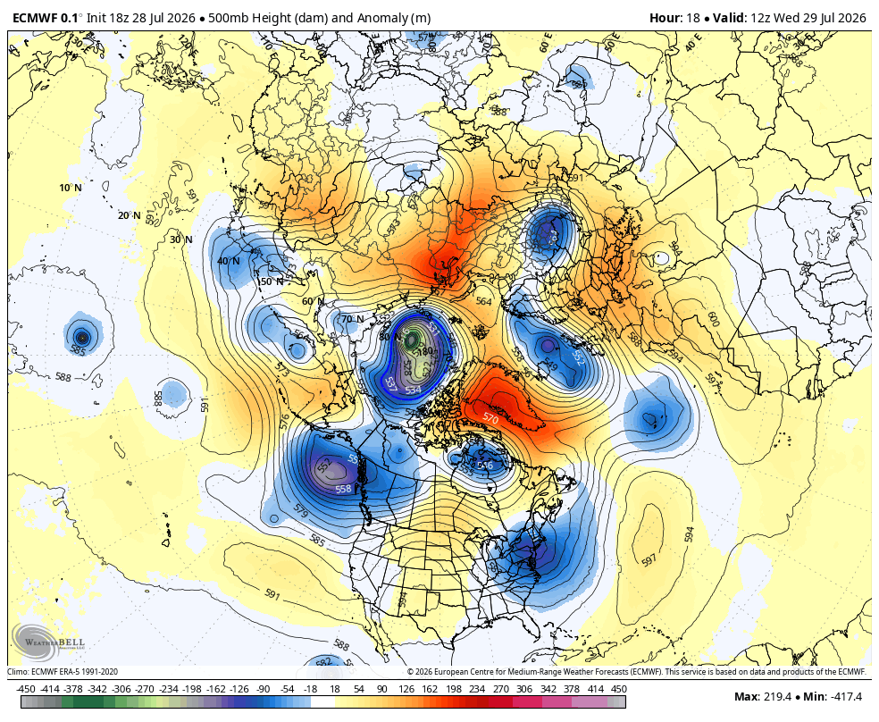
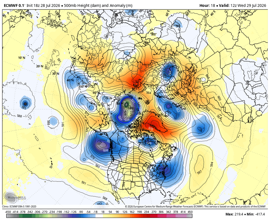
Pretty impressive trough for late July...perhaps a harbinger of things to come... WB 18Z EURO.
-
i ended up with 1.78 inches of rain and temp is now at a cool after the storm
-
Where in these images would the tornado be? Severe wx noob, I got my gf in wesrern Mebane rn
-

2026-2027 Super El Nino
EasternLI replied to Stormchaserchuck1's topic in Weather Forecasting and Discussion
I think we'll see a pretty darn robust STJ, eventually. Remember there's some resistance in the pacific with the -PDO too. That's a battle royale there IMO but I think the sheer magnitude of this el nino overwhelms it. But it's going to take some time to do that. Aifs-ens would suggest we see it start to fire up a little bit towards mid Aug. Will be interesting to see if that's accurate and if it starts to ramp up more as we move towards autumn. If we see that, I'd feel more confident. As far as the QBO is concerned. That's an area of ongoing research. Which has been noticed more and more as an important factor in various areas. So it has been gaining more and more interest. Here's some newer work that also included the Pacific jet. The image below is actually a cross section of the jet in late winter. Same conclusion. El nino + WQBO is the combo for the strongest jet. ERA5 data in top row model runs in the rows underneath. QBOi El Niño–Southern Oscillation experiments: teleconnections of the QBO https://wcd.copernicus.org/articles/6/1419/2025/ -
Early season snows in this type of Nino are not very common. I'd anticipate a low chance of anything appreciable until January-March. Just a matter of if we can score anything small prior to that.
-
Glad the Os got a win last. Ugly tonight and with Skubal going tomorrow drooping 2 of 3 looks likely
-
Badlands profile pic man. Do it. Totally flipped it here.
- 1,659 replies
-
- 1
-

-
- severe
- thunderstorms
- (and 7 more)
-
 Record wet month if that goes down.
 -
Got hit by the split here ivo Vienna. As the line approached it went N & S of us. Just a few drops. Not even enough of a trace to wet the driveway... sigh.
-
1.7" for the day. Lots of thunder on the back edge. First month above avg since Feb. Just over 6"
- 1,659 replies
-
- 1
-

-
- severe
- thunderstorms
- (and 7 more)
-

Central PA Summer 2026 Discussion/Obs Thread
Itstrainingtime replied to Voyager's topic in Upstate New York/Pennsylvania
.24" for the day. Terribly disappointing. -
 Would love to change the “snow” on the tv to weather maps!!! @dendrite? An all seasons reply.
 -
tornado warning for Chapel Hill NC
-
 Im Sure it will change and improve tonight . But upstream radar looks pretty uninspiring currently
 -
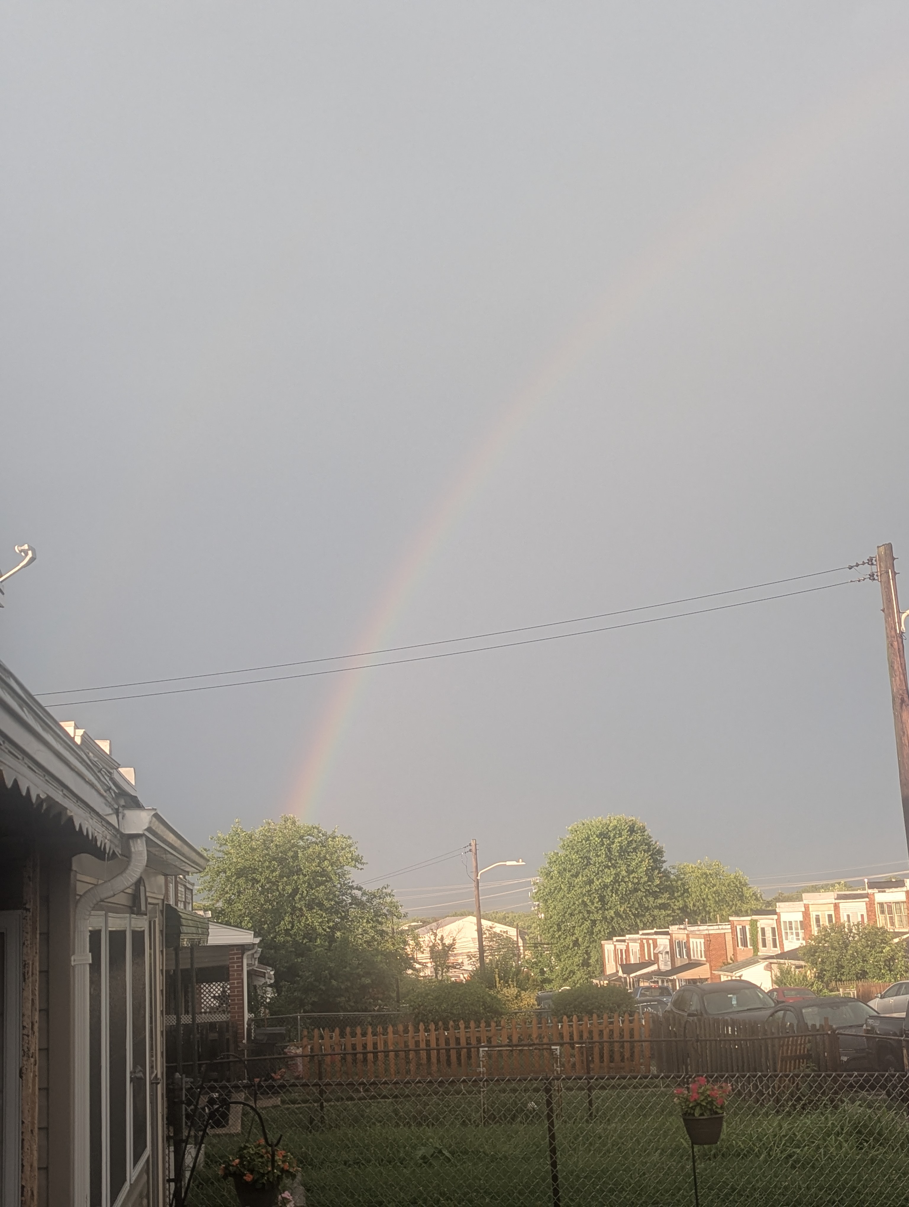
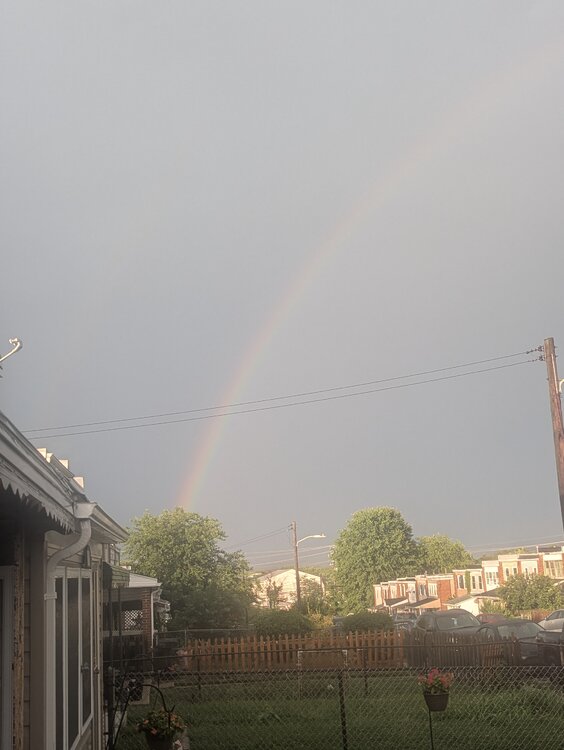
Rather nice rainbow at the moment
-

2026 Spring/Summer Mountain Thread
Maggie Valley Steve replied to Buckethead's topic in Southeastern States
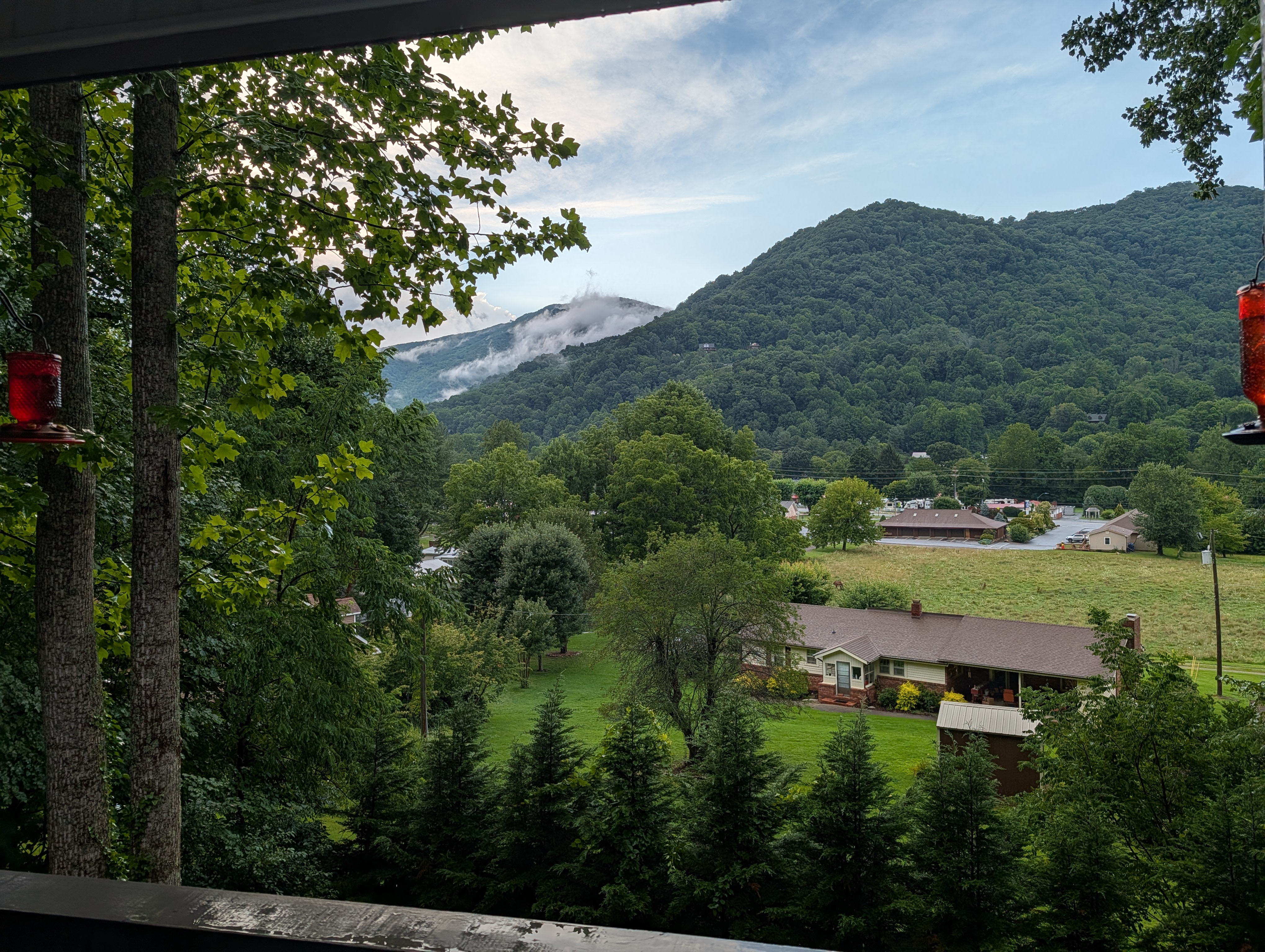
And just like that the skies are clearing.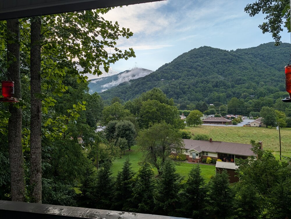
-
Picked up about .10" here today. Looks like some of the heavier storms in the area dropped at least half an inch.
-
Impressive how close NYC has been both rounds without anything meaningful.
-
 Kind of crazy here right now (our pup is NOT liking this)... my phone is going nuts with weather and emergency alerts.
 -
Saw a bunch of em. All made me laugh. As bad as that looks on laughing at the dead, but….
-
.thumb.gif.f92b16c631a1d15d405ed77b33f0710d.gif) maybe it'll curve in - way, in, like early Andrew in
maybe it'll curve in - way, in, like early Andrew in -
 Some of those memes are pretty good.