All Activity
- Past hour
-

E PA/NJ/DE Summer 2026 Obs/Discussion
MGorse replied to PhiEaglesfan712's topic in Philadelphia Region
A monsoon here! 3.21 inches and still pouring. -

2026-2027 Super El Nino
donsutherland1 replied to Stormchaserchuck1's topic in Weather Forecasting and Discussion
The ongoing super El Niño is approaching historic proportions in ENSO Region 1+2. The anomaly for the week centered around July 30 was +4.1°C. The last time the anomaly was at least as high was the week centered around July 6, 1983 (+4.2°C) as the 1982-83 super El Niño was nearing an end. The record is +4.5°C for the week centered around June 29, 1983. -

Augdewst 2026: Summer's Last Stand
ineedsnow replied to Prismshine Productions's topic in New England
Sun is out now.. lets destabilize a bit -

Augdewst 2026: Summer's Last Stand
CoastalWx replied to Prismshine Productions's topic in New England
It’s a big sash with Steve’s face on a sandbag. -
2.14" so far at CEF.
-

Augdewst 2026: Summer's Last Stand
dendrite replied to Prismshine Productions's topic in New England
Is there a badge for filling them? -
Augdewst 2026: Summer's Last Stand
CoastalWx replied to Prismshine Productions's topic in New England
Hopefully Ginxy is there with sandbags for them. -
Augdewst 2026: Summer's Last Stand
CoastalWx replied to Prismshine Productions's topic in New England
Pouring now but best stuff a few miles NW. -

Augdewst 2026: Summer's Last Stand
HIPPYVALLEY replied to Prismshine Productions's topic in New England
Some sun breaking through here. -
-
About 2.3” now and more coming in. Will probably break 3”.
-

E PA/NJ/DE Summer 2026 Obs/Discussion
Hurricane Agnes replied to PhiEaglesfan712's topic in Philadelphia Region
Looks like the Wissahickon hit bankfull. -
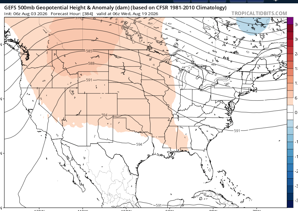
What do you make of this? Notice a tight range for multiple months. Also of note is a deep - NAO now and a rapidly climbing PNA
-

Augdewst 2026: Summer's Last Stand
Damage In Tolland replied to Prismshine Productions's topic in New England
Another 4-6” for Yawgoog Boy Scout camp? -
Augdewst 2026: Summer's Last Stand
CoastalWx replied to Prismshine Productions's topic in New England
Windy here. Definitely gusting over 30 from the south. -

Central PA Summer 2026 Discussion/Obs Thread
mahantango#1 replied to Voyager's topic in Upstate New York/Pennsylvania
US National Weather Service State College PA The forecast has trended in a very good direction for today and tomorrow! We're still expecting a warmer/wetter pattern for the second half of the week into the weekend. -
Augdewst 2026: Summer's Last Stand
CoastalWx replied to Prismshine Productions's topic in New England
Yeah they’ll be soaked. -

Augdewst 2026: Summer's Last Stand
Sey-Mour Snow replied to Prismshine Productions's topic in New England
Ya I’m banking on the next 2 batches to catch up SE areas. -
Through 9 am, JFK Airport has received 2.05" of rain. That breaks the old record of 1.90" from 1948.
-
 Its crazy inner dynamics of scything through its own eye at 10z to work out dry air I guess but that lobe got absorbed back into the eye anyways! Deep convection rebuilding around the careworn eye now and slightly larger.
 -

Augdewst 2026: Summer's Last Stand
HoarfrostHubb replied to Prismshine Productions's topic in New England
Oh, there will be precip. Just in liquid form -
Augdewst 2026: Summer's Last Stand
ineedsnow replied to Prismshine Productions's topic in New England
Pretty meh but my video of flooding at Mount Wachusett -
Augdewst 2026: Summer's Last Stand
CoastalWx replied to Prismshine Productions's topic in New England
Yep. Congrats. That earlier stuff laying a boundary just south of you and you’ll see that stuff ride up and over. Can already see that in SE CT. -
Augdewst 2026: Summer's Last Stand
Damage In Tolland replied to Prismshine Productions's topic in New England
Narrow area from S and W CT up to Dendy. Very narrow zone SW to NE of big totals . Unless this next batch floods SE CT and RI -
let it ride