All Activity
- Past hour
-
Substantial cloud cover in CLT, it appears the initial line is currently has slowed it's build to the south and may slide east of CLT. Question after that becomes "will the cloud cover dissipate?" More scattered light showers behind the main line that may make into CLT, but the mountains appeared to have done their normal thing and shredded the western flank.
-
 talking to yourself again?
 -
 Absolutely. Glad we are rolling back regulations. Makes total sense.
 -

E PA/NJ/DE Summer 2026 Obs/Discussion
Mikeymac5306 replied to PhiEaglesfan712's topic in Philadelphia Region
Few things beginning to pop in York/ Lancaster County. Nothing impressive yet though. -

Central PA Summer 2026 Discussion/Obs Thread
AccuChris replied to Voyager's topic in Upstate New York/Pennsylvania
Dumping good now in Lebanon . -
 In Windsor and getting a hefty downpour currently
 -
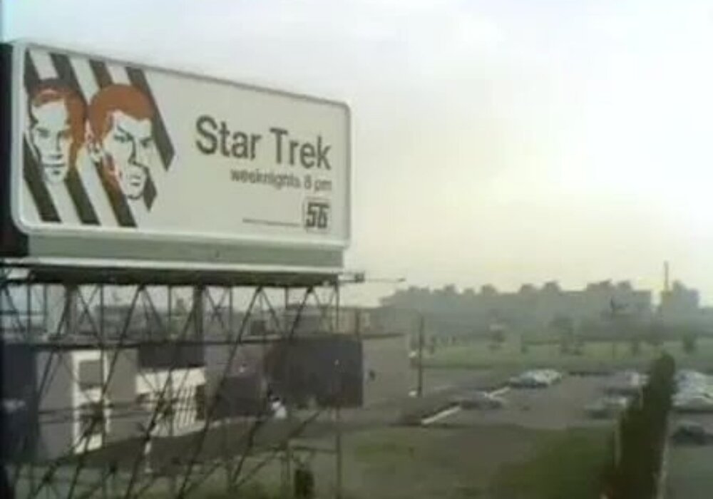
 Ya think? Morrissey boulevard 1969.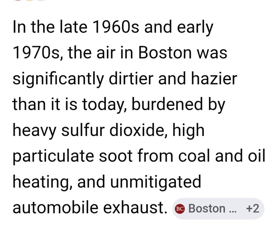
-
HRRR and NAM both swing a line of storms through NOVA-DC in the rush hour window. Fingers crossed.
-

2026 Mid-Atlantic Severe Storm General Discussion
SolidIcewx replied to Kmlwx's topic in Mid Atlantic
Richmond wins again? -

Central PA Summer 2026 Discussion/Obs Thread
Superstorm replied to Voyager's topic in Upstate New York/Pennsylvania
Storms staring to light up . -
 No fresh Canadian airmasses . It ain’t the heat , it’s the humidity. Nino Aug/Sept famous for
 -
For the most part, we avoided the convection upstream and it should get sunny here shortly. This afternoon might have some potential in the western part of the state.
-

2026 Mid-Atlantic Severe Storm General Discussion
Eskimo Joe replied to Kmlwx's topic in Mid Atlantic
Latest HRRR is very GFS-esque. Total whiff for everyone. -
We shall see about the second part of the GFS call, but it nailed the first part.
-
Wow that line broke up quickly.
-
2026 Mid-Atlantic Severe Storm General Discussion
Eskimo Joe replied to Kmlwx's topic in Mid Atlantic
Yes it's somewhat encouraging -
I think the threat is subsiding because of upstream convection/cloud cover. There might be some chance in southern and eastern areas but the MCV is holding together quite well and on models with the stronger storm look this afternoon it was already weakening more than it has. Think the main threat is probably eastern NC
-
Radar popping here
-
PWAT’s are 1.6 to 1.8” with ample moisture on a SW flow.
-
Hi, I’m the guy it took 2 hours to notice the COD radar hadn’t updated in 6 hours
-
Ignoring the obvious accidental doxing .. lol but would be cool to see the users mapped out in our region
-
This is a convective event so there will be winners and losers. I had 2.29” yesterday under that stationary storm in less than an hour. The storms today should be moving but there will be training. Someone is going to see a ridiculous total. Bullseye area looks to be along the I-287 corridor from Morristown up into the LHV.
-
Light rain here with blue skies to the west
-
 Radar lighting up a bit around here
 -
it's like lousy winters when the cold is pushed back and back....