All Activity
- Past hour
-

Augdewst 2026: Summer's Last Stand
ineedsnow replied to Prismshine Productions's topic in New England
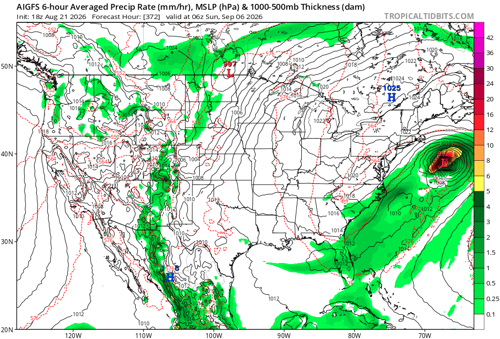
every year I track.. and every year get disappointed one of these times things will come together and we will get crushed.. anything past 5 days is a crap shoot but I'll always check quick and post the weenie maps if need be -

Mid-Long Range Discussion 2026
WinstonSalemArlington replied to BooneWX's topic in Southeastern States
Happy Labor Day -

Augdewst 2026: Summer's Last Stand
powderfreak replied to Prismshine Productions's topic in New England
Somehow BTV is only +0.5 but MPV is +2.8. Lack of radiating hurting some sites, but BTV has no radiating anyway so doesn’t seem to matter there. Though the past week has tried to mute the positive departures. -
.thumb.gif.f92b16c631a1d15d405ed77b33f0710d.gif)
Augdewst 2026: Summer's Last Stand
Torch Tiger replied to Prismshine Productions's topic in New England
Getting closer!!
-
Gotta find unique ways to get those clicks until you can start posting 384 hr GFS snowfall maps
-

Augdewst 2026: Summer's Last Stand
dendrite replied to Prismshine Productions's topic in New England
BDL is the coolest relative to normal in the region. -

Augdewst 2026: Summer's Last Stand
HIPPYVALLEY replied to Prismshine Productions's topic in New England
Same, I’ll use AC in the car but at home just fans and open windows for the most part. -
Well...I guess i can mow tomorrow
-
Well said. No arguing the baseline.
-
 cheap ed: GlobalCare Pharm - discount ed meds
 -
Augdewst 2026: Summer's Last Stand
dendrite replied to Prismshine Productions's topic in New England
-2 to 4 last winter was epic cold, but +2 to 4 in summer is nbd. I’ll agree…there hasn’t been any big heat, but it goes to show you where our baseline is right now. -

Augdewst 2026: Summer's Last Stand
Brewbeer replied to Prismshine Productions's topic in New England
yeah, I've needed AC - but only in the car house hasn't needed it; windows and fans at night, had a fleece vest on this morning (62/61F at 6:30 am) wheeling the cans to the curb for Friday pickup currently 76/65F IMBY -
Down-sloping has been a problem this summer as, all to often, 18z flow has been 290 too 360.
-
"Particularly Delightful Day" Watch issued.. ENJOYMENT CHANCE...CONSIDERABLE
-

Augdewst 2026: Summer's Last Stand
Damage In Tolland replied to Prismshine Productions's topic in New England
Most folks have had AC on almost all month . Look up a site .. any airport you choose MTD. Tooorrchh! You lose .. again ! -
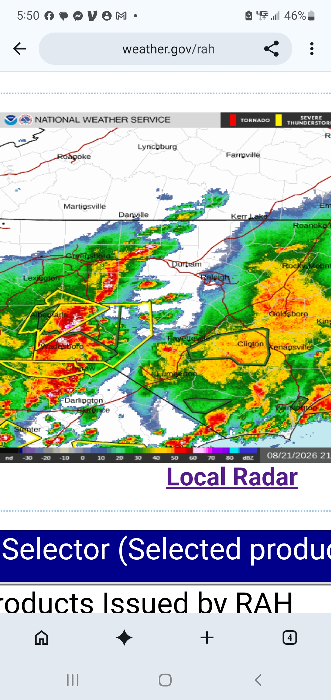
Seeing pinks on radar returns north of Wadesboro out west. Meanwhile I'm at 0.09" for the day.
-
There is no torch. Torches are hot. Require air conditioning.
-
The nightmares…
-
The weekend will feature cool and perhaps unsettled weather. The greatest chance for rain will be late tomorrow into tomorrow night. Sunday will see clouds break and the mercury rise toward 80°. Somewhat cooler than normal weather will then extend into at least the middle of next week. No excessive heat appears likely through the remainder of August. The ENSO Region 1+2 anomaly was +4.0°C and the Region 3.4 anomaly was +2.7°C for the week centered around August 12. For the past six weeks, the ENSO Region 1+2 anomaly has averaged +3.80°C and the ENSO Region 3.4 anomaly has averaged +2.32°C. The ongoing strong El Niño, which has reached super El Niño threshold, will continue to strengthen through the summer. The SOI was -32.71 today. The preliminary Arctic Oscillation (AO) was +0.236 today. Based on sensitivity analysis applied to the latest guidance, there is an implied near 54% probability that New York City will have a cooler than normal August (1991-2020 normal). August will likely finish with a mean temperature near 75.9° (0.2° below normal). Supplemental Information: The projected mean would be 0.7° above the 1981-2010 normal monthly value.
-
Does this look familiar at all? If I complain enough something good will happen.
-
Augdewst 2026: Summer's Last Stand
Damage In Tolland replied to Prismshine Productions's topic in New England
They kept asking where’s the torch and we’ve been telling them everyday. It’s been here all month everywhere and continues to ramp up ! -
Who's everyone? Hartford?
- Today
-

Augdewst 2026: Summer's Last Stand
Baroclinic Zone replied to Prismshine Productions's topic in New England
Brisk 65F with a light breeze -
Public Information Statement National Weather Service Mount Holly NJ 520 PM EDT Fri Aug 21 2026 ...Storm Surveys Ongoing in portions of Delaware, northeast Maryland, and southeast Pennsylvania... The National Weather Service office in Mount Holly NJ is currently conducting storm surveys for the areas near Dover in Kent County, DE, Barclay and Marydel in Queen Anne's County, MD, and Downingtown in Chester County, PA. The survey is in relation to the severe thunderstorms that moved through the area on Thursday, August 20th, 2026. We have confirmed that at least EF-1 tornado damage, with estimated peak winds up to 105 mph, occurred with the tornado that impacted the Dover, DE area.
- 2,165 replies
-
- 2
-

-
- severe
- thunderstorms
- (and 7 more)
-
Augdewst 2026: Summer's Last Stand
dendrite replied to Prismshine Productions's topic in New England
And everyone is already +2 to +4 MTD. People have forgotten what a normal month feels like. CON’s record for tomorrow is 34° in 1982. That doesn’t even seem possible today.