All Activity
- Past hour
-

E PA/NJ/DE Summer 2026 Obs/Discussion
enpawx_observer replied to PhiEaglesfan712's topic in Philadelphia Region
That was insane. PWS got 1.98" for the day. 1.83" of that fell within about 40 minutes. Peak rate was 3.33"/hr (never seen it that high). Never seen my backyard flood like that. Backside winds were also way worse than anything in the storm. Minimal lightning. -
If the futurecast radar is correct you might get pretty good drink. Save the paw paws!
-

Augdewst 2026: Summer's Last Stand
vortex95 replied to Prismshine Productions's topic in New England
I don't know, warmer SSTs w/ time should lead to less marine "infection" for more SNE tstms! -
https://x.com/TheLukeReport/status/2090575612691788106 waterspout
-
SPC really dropped the ball on this one. They had the strongest/bulk of the rain going to the south of the city.
-
Coming down now here, only 0.26" so far
-
Tornado warning at Woodbine NJ
- 2,148 replies
-
- 1
-

-
- severe
- thunderstorms
- (and 7 more)
-
Wow, I am surprised it was that visible given the strong HP nature of the supercell there, but if you get real close right up in the inflow notch, you can spot HP tors, but it is often very risky. I wonder if anyone got video of the DOV tor. Same deal. "Almost" a "wedge!" I say that in jest b/c many like stating a tor is a wedge even when it isn't!
-

E PA/NJ/DE Summer 2026 Obs/Discussion
JTA66 replied to PhiEaglesfan712's topic in Philadelphia Region
1.75” After a high of 78F, temp is down to 65F. Rain is done here, but still pretty gusty. -
Over 1.6" of rain so far between 1745 and 1845 here and still coming down like crazy. The subway isn't handling it very well and there are suspensions due to flooding.
-
I have to admit it's actually getting dry around here. The ponds are down and the streams are non-existent. Cut some trees from the canopy today and the tops were toast. Don't get some rain soon it will be a pretty dismal foliage year.
-
Tornado Warning Nassau County TOR from KOKX
-
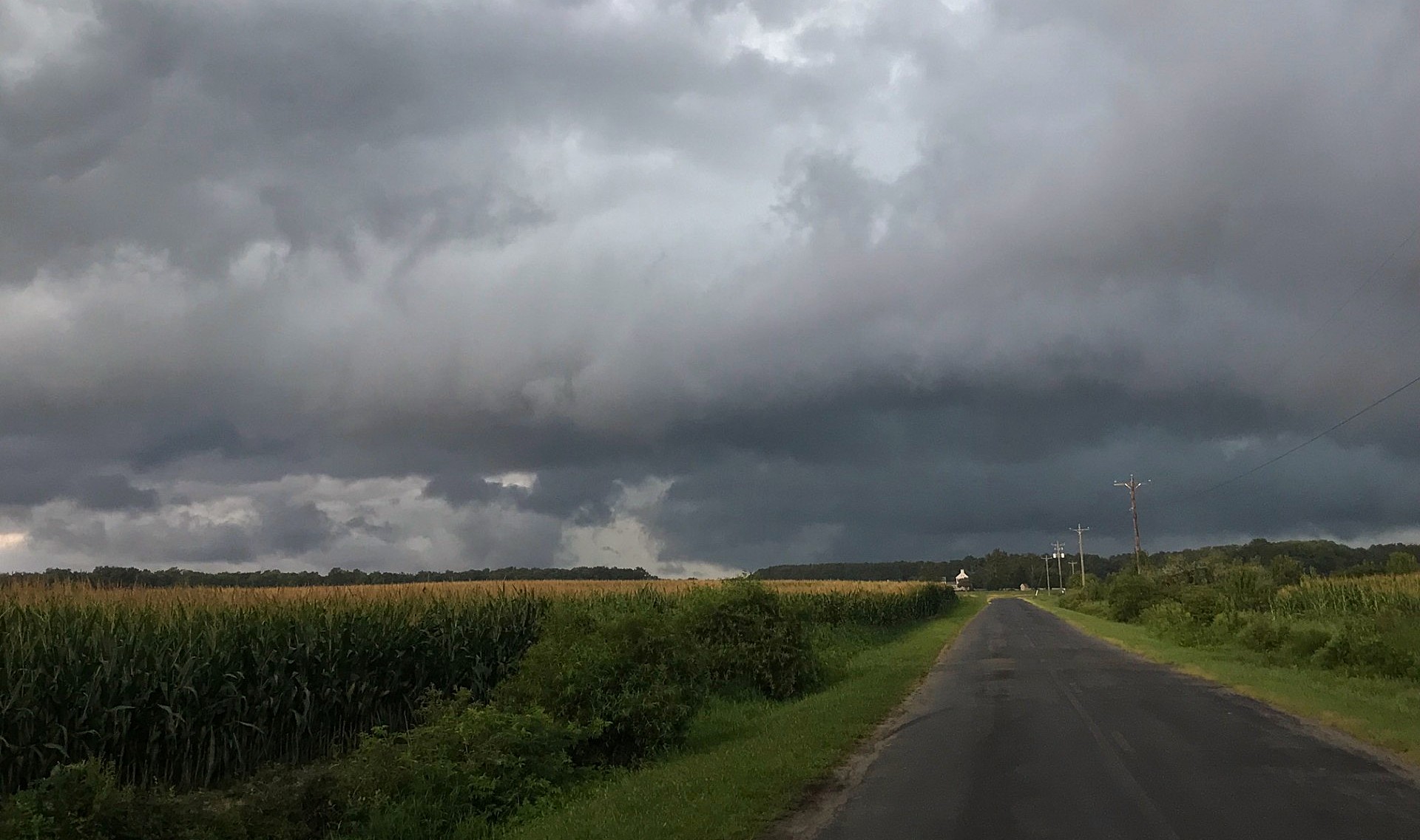
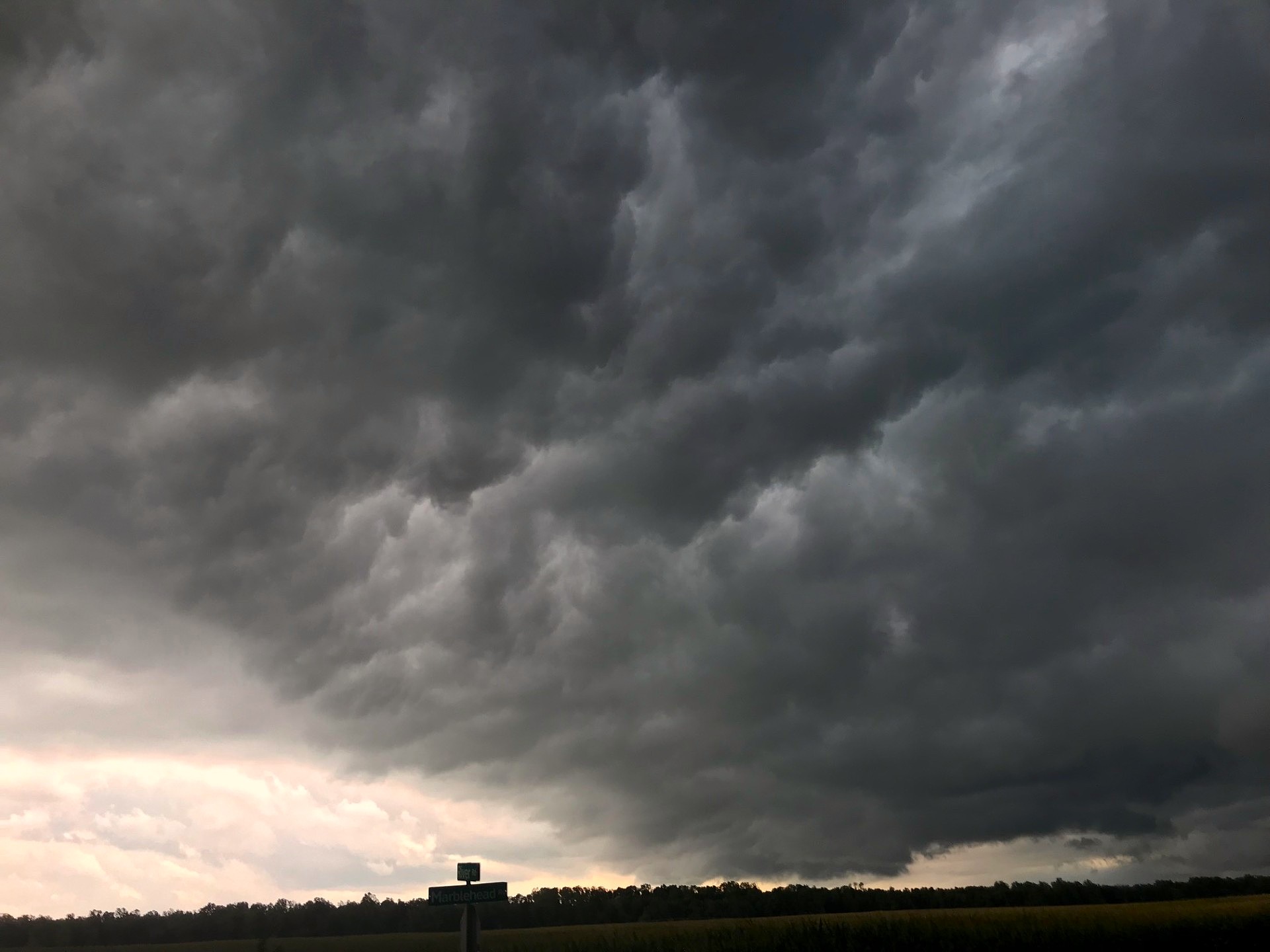
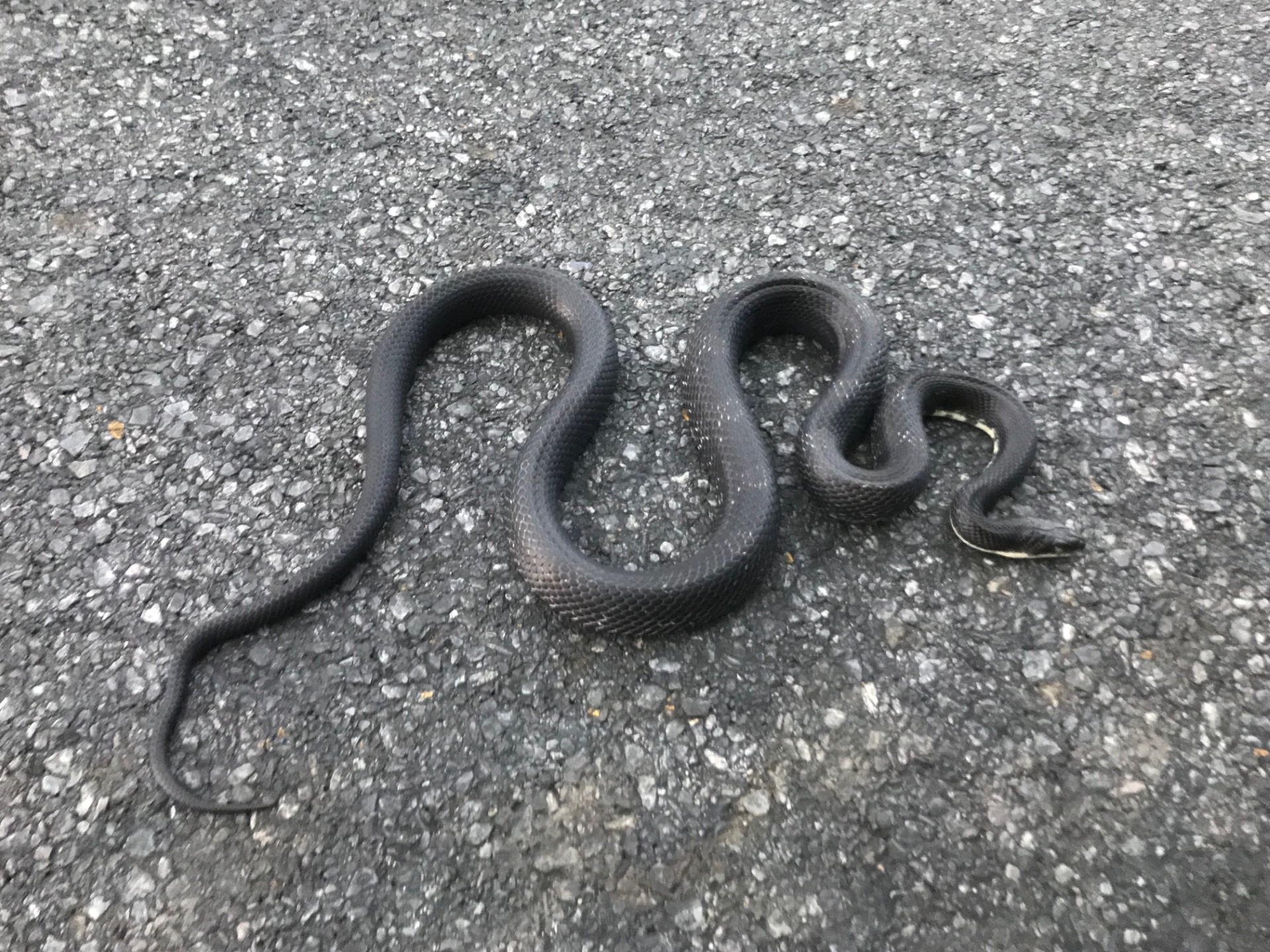
A few photos of the line approaching. This was right about the time Dover was potentially getting rocked by a tornado. Also nudged this guy off the road.
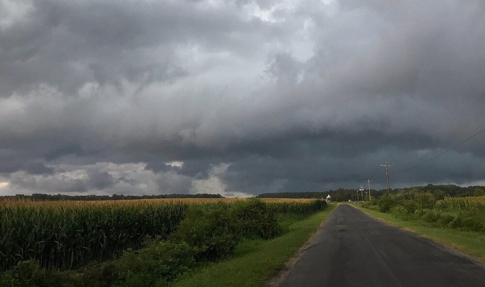
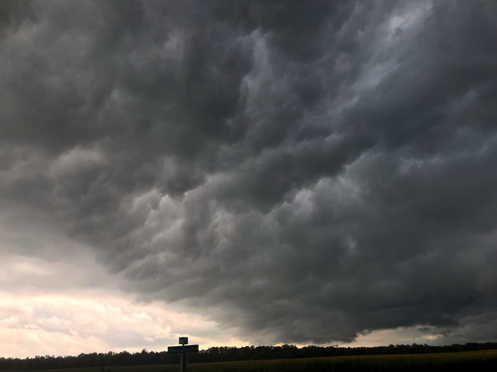
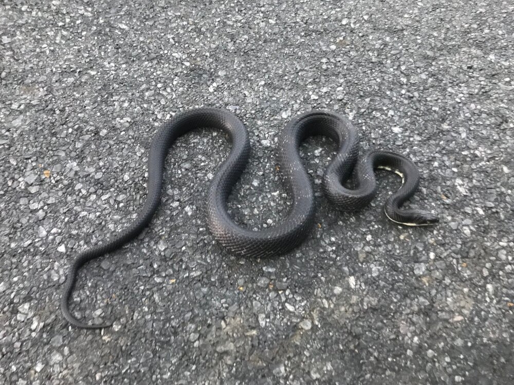
- 2,148 replies
-
- 3
-
-
- severe
- thunderstorms
- (and 7 more)
-
Great video, but can Timmer please stop inventing hype words for wx -- "water trumpet?" I storm chased most years 1992-2016 and know many in the storm chase community, and I have never heard a tornado or waterspout put that way. Cheesy media hype nonsense. Put a different label on something common/mundane to "sell" it more. And really, mets and wx enthusiasts can figure out easy what "water trumpet" means, but the general public? Some will go, "is that a new wx phenomena!?" And such can work it way into mainstream media. I recall on WTOP they used "rain bomb" one time to describe a tstm heavy rain event, and I cringed.
- 2,148 replies
-
- 1
-
-
- severe
- thunderstorms
- (and 7 more)
-
Shhhh! The administration will want to throw a tariff on it.
-

2026 Mid-Atlantic Severe Storm General Discussion
Eskimo Joe replied to Kmlwx's topic in Mid Atlantic
Video of the Columbia, PA funnel cloud/tornado.- 2,148 replies
-
- 5
-
-
- severe
- thunderstorms
- (and 7 more)
-
.thumb.jpg.6a4895b2a43f87359e4e7d04a6fa0d14.jpg)
Central PA Summer 2026 Discussion/Obs Thread
Yardstickgozinya replied to Voyager's topic in Upstate New York/Pennsylvania
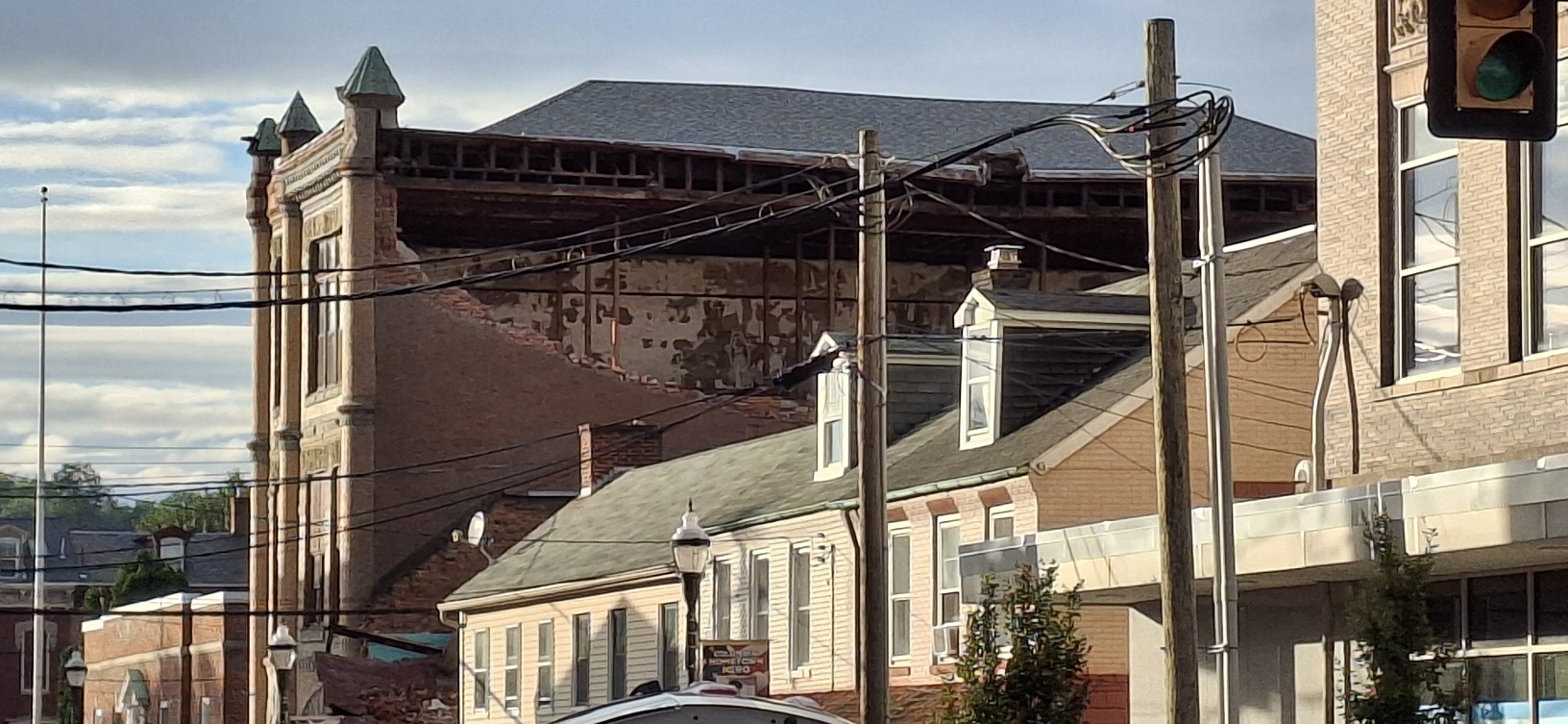
Possible gas leak in the building, there's damage all around the town of columbia. The people here are saying that they saw the tornado.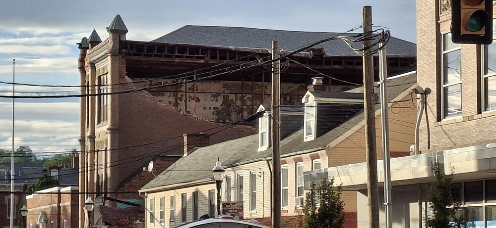
-
Over the past hour, Central Park picked up 1.82" of rain. That is the highest hourly amount on any August 20th since hourly data was recorded. The old hourly mark was 0.63" from 1950. A slow-moving cold front will likely bring showers or thundershowers to the region into late tonight. The New York City area will see a general 2"-4" rainfall with local amounts of 5" by 8 am tomorrow. The frontal passage will be followed by a reinforcing shot of cooler air. Friday could see highs in the upper 70s with some additional showers or thundershowers. The weekend could feature cool and perhaps unsettled weather. The greatest chance for rain will be on Saturday. Somewhat cooler than normal weather will then extend into at least the middle of next week. No excessive heat appears likely through the remainder of August. The ENSO Region 1+2 anomaly was +4.0°C and the Region 3.4 anomaly was +2.7°C for the week centered around August 12. For the past six weeks, the ENSO Region 1+2 anomaly has averaged +3.80°C and the ENSO Region 3.4 anomaly has averaged +2.32°C. The ongoing strong El Niño, which has reached super El Niño threshold, will continue to strengthen through the summer. The SOI was -35.32 today. The preliminary Arctic Oscillation (AO) was +0.061 today. Based on sensitivity analysis applied to the latest guidance, there is an implied near 50% probability that New York City will have a warmer than normal August (1991-2020 normal). August will likely finish with a mean temperature near 76.1° (near normal). Supplemental Information: The projected mean would be 0.9° above the 1981-2010 normal monthly value.
-
Waterspout/tor by Jamaica bay
-
I need to drive back to Babylon from patchogue in a bit. Sigh.
-
-

Augdewst 2026: Summer's Last Stand
powderfreak replied to Prismshine Productions's topic in New England
Orographic precipitation in NNE has to be up there on the list, ha. -
two possible tornadoes near JFK
-
0.08 from last night and this afternoon
-

Augdewst 2026: Summer's Last Stand
CoastalWx replied to Prismshine Productions's topic in New England
I’ll track floods and anomalous events like that. But the 90s and 00s are gone now and Greta is ridging us to death in the summer so we accept and move on.