enpawx_observer
-
Posts
15 -
Joined
-
Last visited
About enpawx_observer

-
E PA/NJ/DE Summer 2026 Obs/Discussion
enpawx_observer replied to PhiEaglesfan712's topic in Philadelphia Region
That was insane. PWS got 1.98" for the day. 1.83" of that fell within about 40 minutes. Peak rate was 3.33"/hr (never seen it that high). Never seen my backyard flood like that. Backside winds were also way worse than anything in the storm. Minimal lightning. -
E PA/NJ/DE Summer 2026 Obs/Discussion
enpawx_observer replied to PhiEaglesfan712's topic in Philadelphia Region
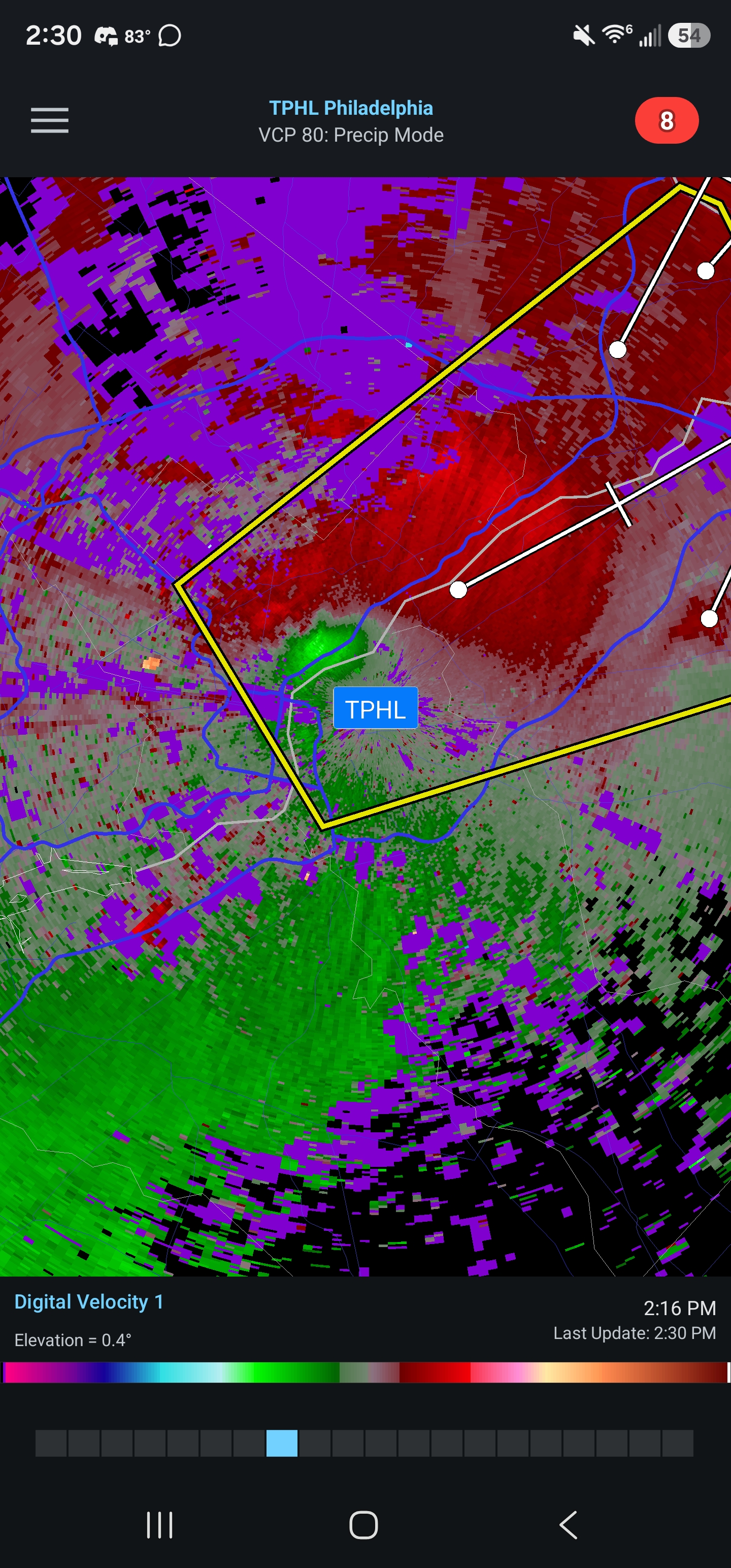
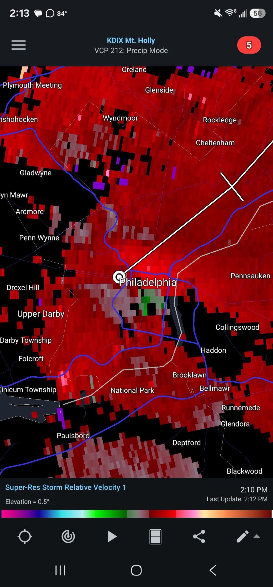
Looks like some rotation out by West Chester -
E PA/NJ/DE Summer 2026 Obs/Discussion
enpawx_observer replied to PhiEaglesfan712's topic in Philadelphia Region
83/73. Sun just starting to peek through a little bit, but still a pretty good cloud deck here. -
E PA/NJ/DE Summer 2026 Obs/Discussion
enpawx_observer replied to PhiEaglesfan712's topic in Philadelphia Region
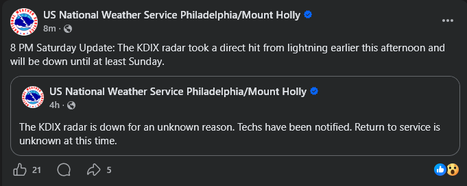
-
E PA/NJ/DE Summer 2026 Obs/Discussion
enpawx_observer replied to PhiEaglesfan712's topic in Philadelphia Region
Right in the thick of that warning issued for Montco. Probably ~25mph gust with moderate rain. Worst was a CTG strike on the pole down the street. Power back came back in a few minutes though -
E PA/NJ/DE Summer 2026 Obs/Discussion
enpawx_observer replied to PhiEaglesfan712's topic in Philadelphia Region
They just showed a drone shot on the Phillies broadcast and it's pretty heavy. Not as bad as Thursday but still super noticeable -
E PA/NJ/DE Summer 2026 Obs/Discussion
enpawx_observer replied to PhiEaglesfan712's topic in Philadelphia Region
77/75 here. Temp has been more or less stable for the last 3 hours. Also of note, seems like there is still lingering smoke around here. -
E PA/NJ/DE Summer 2026 Obs/Discussion
enpawx_observer replied to PhiEaglesfan712's topic in Philadelphia Region
IIRC, wasn't the system that produce the late July outbreak in 2021 similar? I remember that day being really cloudy. But I think shear was rippin and there was just enough instability to produce. -
E PA/NJ/DE Summer 2026 Obs/Discussion
enpawx_observer replied to PhiEaglesfan712's topic in Philadelphia Region
https://www.weather.gov/wrh/TextProduct?product=pnsphi&id=d3daebb5-3836-491e-b8b7-f5217a0fc12c -
E PA/NJ/DE Summer 2026 Obs/Discussion
enpawx_observer replied to PhiEaglesfan712's topic in Philadelphia Region
Guess that's why it got a tornado possible tag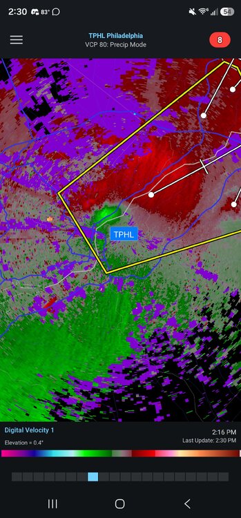
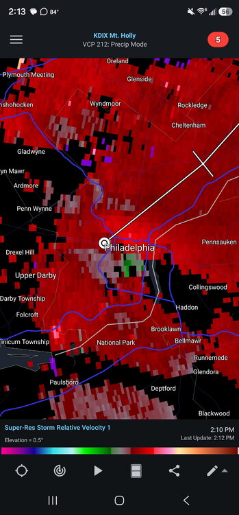
-
E PA/NJ/DE Spring 2026 Obs/Discussion
enpawx_observer replied to PhiEaglesfan712's topic in Philadelphia Region
42 here, down 18 in the past 20 or so minutes. My PWS which is not in an optimal position for northerly wind reported a 28mph gust, but the guy up the street who has one in a better position reported a 58.2mph gust on wunderground. -
E PA/NJ/DE Spring 2026 Obs/Discussion
enpawx_observer replied to PhiEaglesfan712's topic in Philadelphia Region
There is a ton of low level shear, enough to pop a tornado in any of these storms or come down to the surface with rain as straight line gusts. If I remember correctly the Ida tornado outbreak was a high shear/low CAPE setup and that wreaked havoc on our area. -
E PA/NJ/DE Spring 2026 Obs/Discussion
enpawx_observer replied to PhiEaglesfan712's topic in Philadelphia Region
60/60, overcast. -
E PA/NJ/DE Spring 2026 Obs/Discussion
enpawx_observer replied to PhiEaglesfan712's topic in Philadelphia Region
Going to be interesting to see the evolution of this SPC outlook. HRRR and NAM both seem like the cool off a good bit as soon as the line enters Eastern Berks, Western Montco/Chesco. NAM also has been hinting at a later arrival time for the Philly burbs which might tamp down the storms a bit. -
Blizzard of 2026 Storm Thread/OBS
enpawx_observer replied to Mikeymac5306's topic in Philadelphia Region
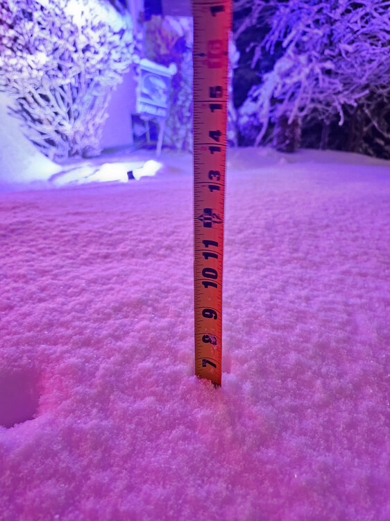
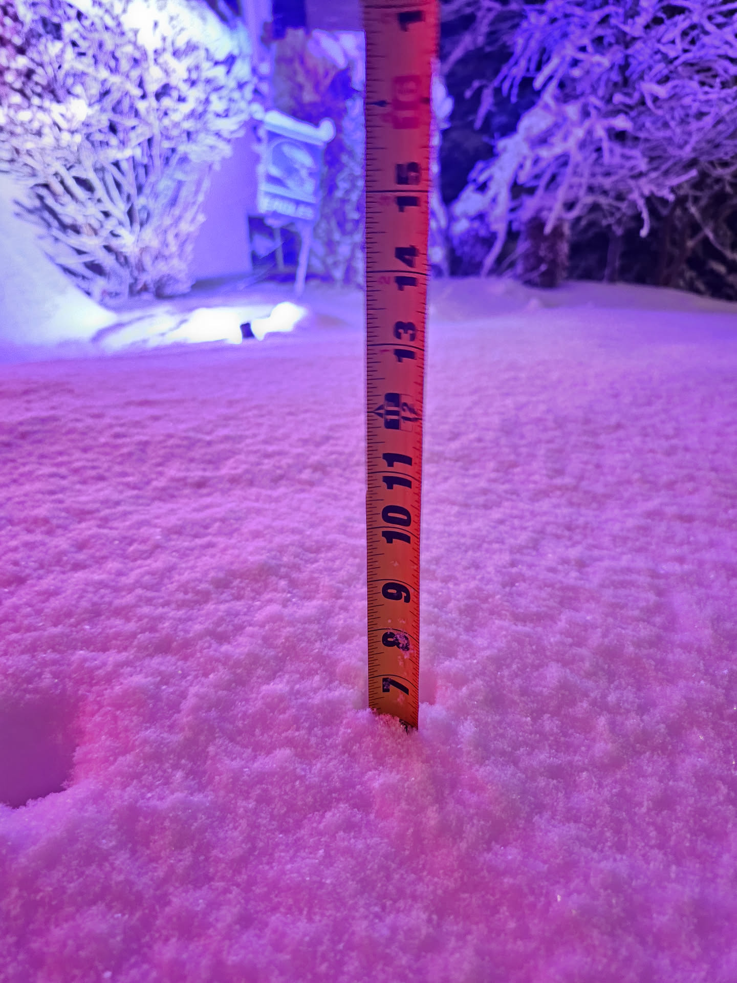
Lol, been lurking forever (like months, never got my verification email), glad to seem some forums for the area are still active. Unofficially 6.25" on the grass. About 1 inch in the past 45 minutes. Backyard obs: 29, SN+. Station showing gusts around 15mph but I suspect the wind sensor is a bit obstructed