All Activity
- Past hour
-
Actually for i95 corridor and Delmarva
-
Guess they think second line will do something? That first one is dying
-
Severe Thunderstorm Watch up until 2am
-

2026 Mid-Atlantic Severe Storm General Discussion
Eskimo Joe replied to Kmlwx's topic in Mid Atlantic
Watch coming out for NW of I-95 until 2am. -
Or..... could just wait a few more minutes lol
-
I’ll take the under…whatever it is.
-
Understood, and I hate to criticize SPC... but they went watch likely and 80% chance for basically all of us into Delmarva.... to nothing
-
Western Pa just getting smoked. Probably will get screw jobbed here as usual. Missed to the NE yesterday missed to SW today.
-
 mexican pharmacy that ships to the us and mexican online pharmacy wegovy order medication from mexico https://www.google.co.ve/url?sa=t&url=https://mexiph.com mexican farmacia or http://jonnywalker.net/user/mafikwdvbe/ order from mexico [url=https://toolbarqueries.google.bi/url?q=https://mexiph.com]mexico meds[/url] mexican pharmacys and [url=https://www.liveviolet.net/user/ghowgjzzvd/videos]farmacia mexicana en chicago[/url] reliable rx pharmacy
 -
Is there a way to view some sort of version of NCEP or European reanalysis now? I want to look at weekly or monthly averages of winds and temperatures and such things. But I can't. NCEP reanalysis is not available, as far as I can tell, from PSL: https://psl.noaa.gov/data/composites/day/ I want to figure out some of this stuff. It used to be fine. You know, look at 850mb temperature averages for a week or whatever. Now, not fine. I'm not sure the European ECMWF reanalysis offers a web page that does the things that I want it to do.
-

2026-2027 Record-breaking El Nino
LakePaste25 replied to Stormchaserchuck1's topic in Weather Forecasting and Discussion
That area near Japan is probably cooked for the foreseeable future, which is one reason I would expect it to flip back to - next spring or summer. Too mu ch subsurface warmth there and a Nino for 1 year won’t eradicate that. -
2026-2027 Record-breaking El Nino
LakePaste25 replied to Stormchaserchuck1's topic in Weather Forecasting and Discussion
It’s September. Other than CTKWs going up the west coast which takes care of a portion of the PDO, how else would an extratropical index flip without cool season extratropical storms? You need storms and an active cool season zonal jet to churn up that warm blob out in the middle of the N pac. -
once again a nice line in PA... can it hold together?
-
Before I got the place here in fall 2019, it did pretty well with Niñas and always substantially better than BWI. Showmethesnow used to routinely humiliate BWI totals. But that changed after I moved here except for 20/21.
-
2026 Mid-Atlantic Severe Storm General Discussion
Eskimo Joe replied to Kmlwx's topic in Mid Atlantic
MCS running into a stationary front at night with a decent amount of elevated CAPE. Laughs nervously. . . . -
Outflow didn't make it here but we got a dozen or so raindrops. High of 102/117 at 2:30pm.
-

Septorcher 2026 Discussion - Endless Summer
kdxken replied to Damage In Tolland's topic in New England
Thankfully I only had migraines for a short period. Mid 30s. Mostly when I first woke up. Light would make them infinitely worse. Not pleasant.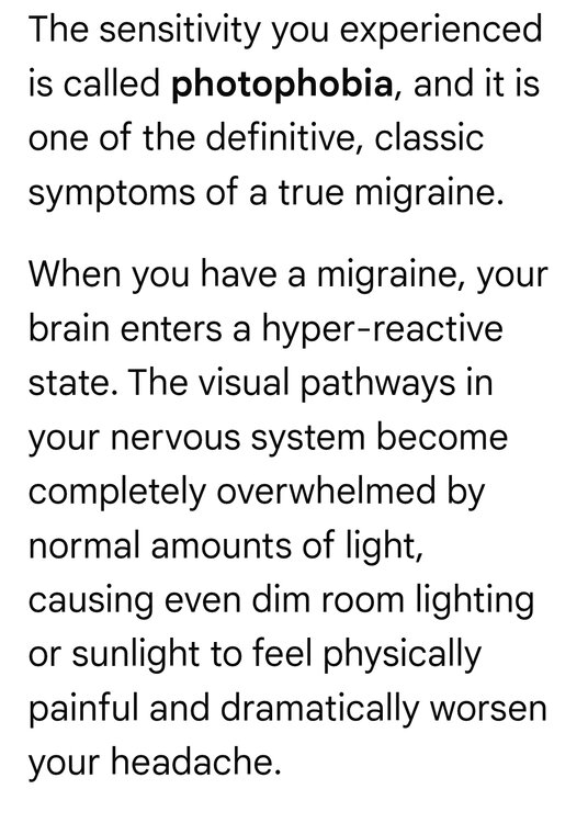
-
Todays Highs: EWR: 89 PHL: 89 BLM: 89 New Brnswck: 89 TEB: 88 LGA: 88 TTN: 88 JFK: 86 non intra hour highs https://forecast.weather.gov/data/obhistory/KJFK.html ACY: 86 ISP: 85 NYC: 84
-
WPC meso about heavy rain and flash flood potential covers the metro areas
- 2,452 replies
-
- 1
-

-
- severe
- thunderstorms
- (and 7 more)
-
2026 Mid-Atlantic Severe Storm General Discussion
Eskimo Joe replied to Kmlwx's topic in Mid Atlantic
I could be wrong, but I don't think these storms survive into Maryland with enough strength to warrant a watch. If they were even an hour or two earlier then yes. -

Central PA Summer 2026 Discussion/Obs Thread
WmsptWx replied to Voyager's topic in Upstate New York/Pennsylvania
GOODBYE, FRIENDS. -
canada pharmacy online legit: recommended canadian pharmacies :: cheapest pharmacy canada
- Yesterday
-
September heat waves suck. Any real rain keeps getting pushed back... now not until mid next week on the Euro.
-
E PA/NJ/DE Autumn 2026 Obs/Discussion
Albedoman replied to PhiEaglesfan712's topic in Philadelphia Region
Looks like tonight maybe another drencher for some if the storms hold together from the other side of the state. My house got 1.85 in of rain overnight and the Little Lehigh reached bankfull for the second time this summer. Put a real nice dent in the drought conditions here. The best part is the crabgrass is starting to die. This weekend cool shot will help put that fricking weed in its grave with the shorter daylight hours. -

Septorcher 2026 Discussion - Endless Summer
Baroclinic Zone replied to Damage In Tolland's topic in New England
This just shows how ignorant you are to its impacts. Each time my daughter has been infected and had a bout of it, it has wreaked havoc on her body and made her condition worse.