All Activity
- Past hour
-
We like it . The previous owners cleared the lot about 15 years ago. The house is pretty old and was surrounded by dense forest for like 50-60 years. Glad they paid for the clearing work.
-

2026 Mid-Atlantic Severe Storm General Discussion
wxmeddler replied to Kmlwx's topic in Mid Atlantic
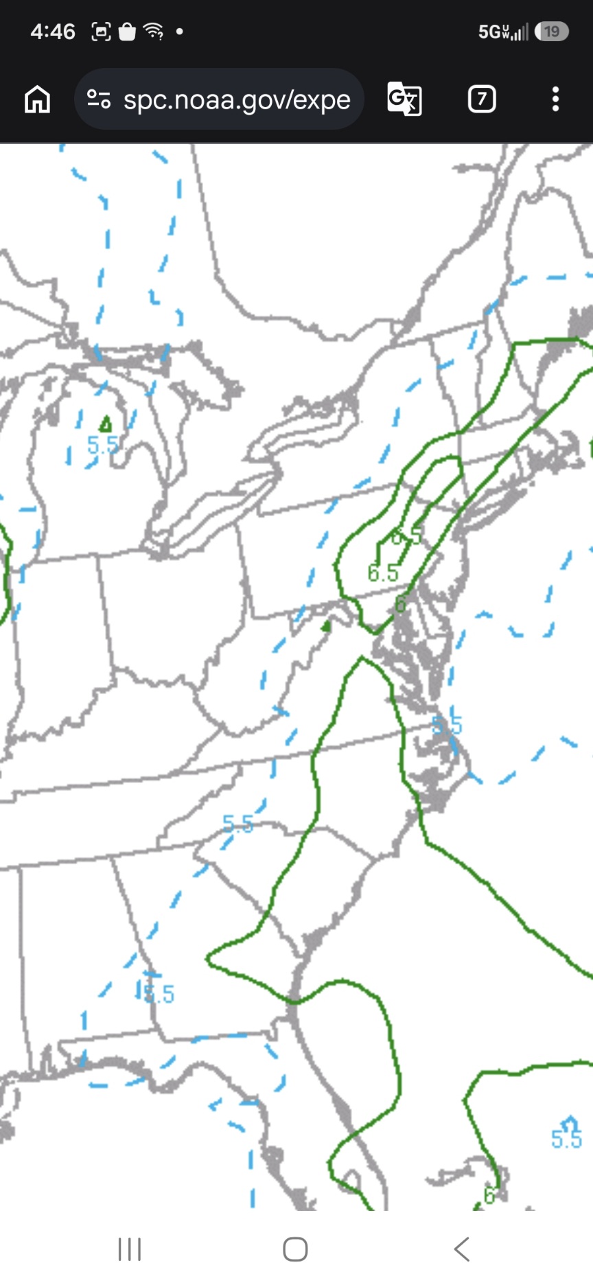
Storms seem to be firing off the cold front now east of the Blue Ridge and unzipping from the north so we'll see if that continues. It should theoretically.- 2,591 replies
-
- 1
-

-
- severe
- thunderstorms
- (and 7 more)
-
The promise to Noah.
-
Sunshine back Nice rainbow too
-
Line looks decent currently. A few warnings
-
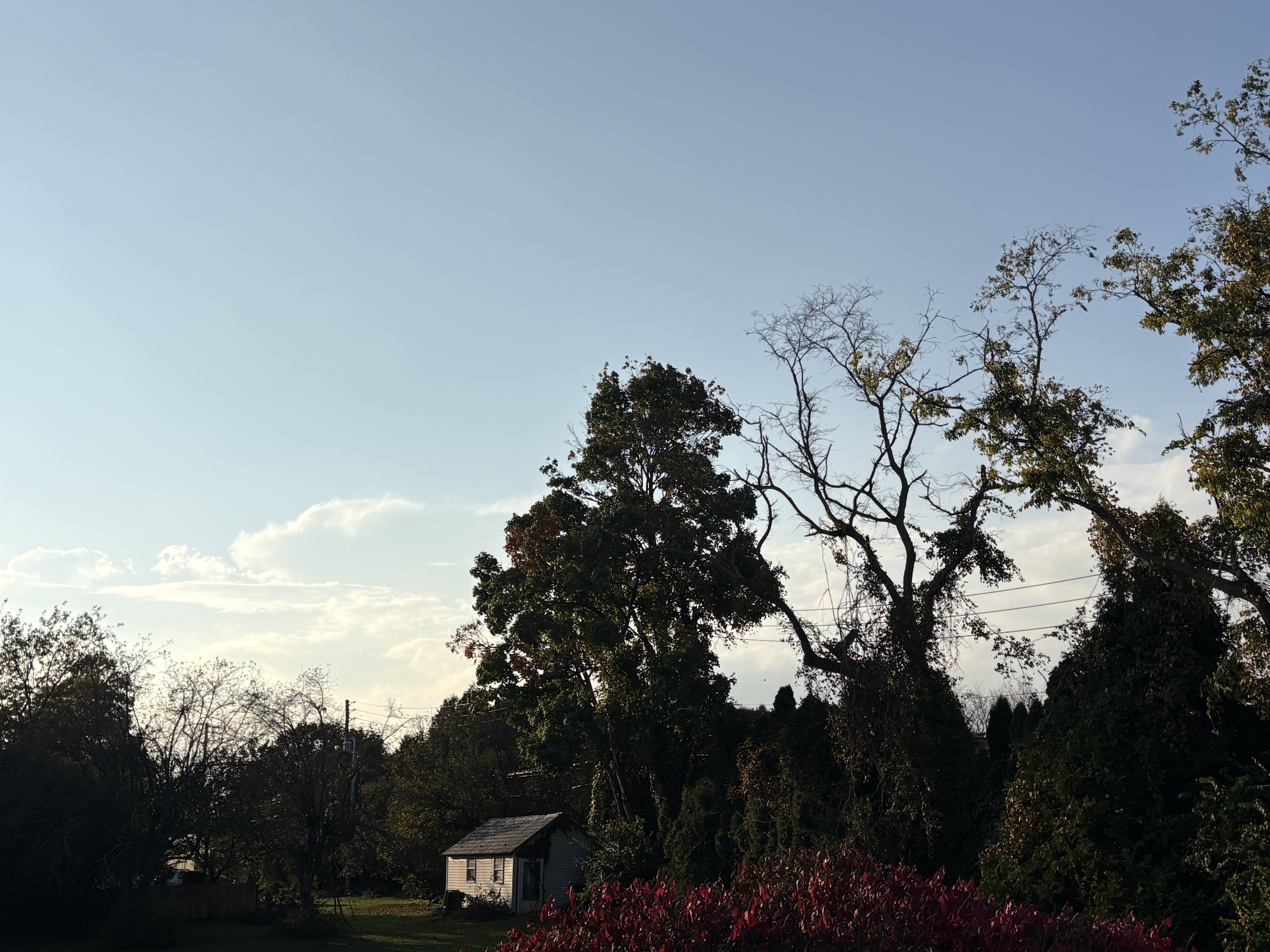
Crushing now, but it's a thin line moving fast, so the western horizon is brightening fast.
-
Halfway through October 2026 vs all strong/super El Nino winter Octobers.
-
In 2007-08 we had 33" from 2-4" events. Of coarse, we had 23 events total 2"+ that season.
-
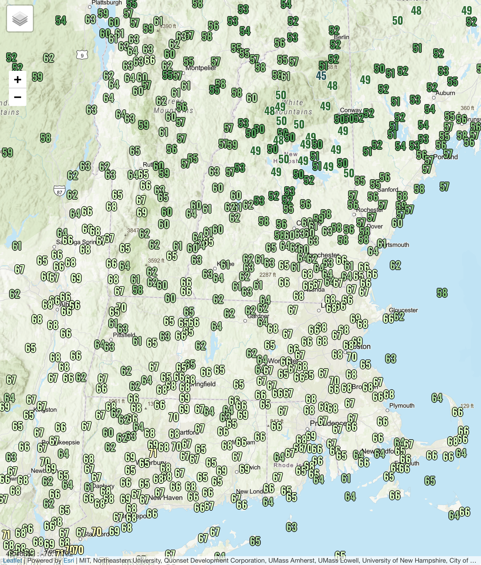
Dropped from 84 to 70 here. Here's to this being the last day of 80+ this year!
-
First, thunderstorm chances from the north/central Shenandoah Valley on east WWA Summary for Severe Thunderstorm Watch Issued by LWX Then, freeze watches for Sunday morning from outer Baltimore/Frederick (MD)/Loudoun and on west. WWA Summary for Freeze Watch Issued by LWX Whiplash.
-
we're in unprecedented territory, so it's always possible.
-
 The Spanish colonies on the west coast of South America were well established by 1790 and they kept meticulous records. Especially in regards to water temps and how it affects the sardine fishery off of Peru. .
 -
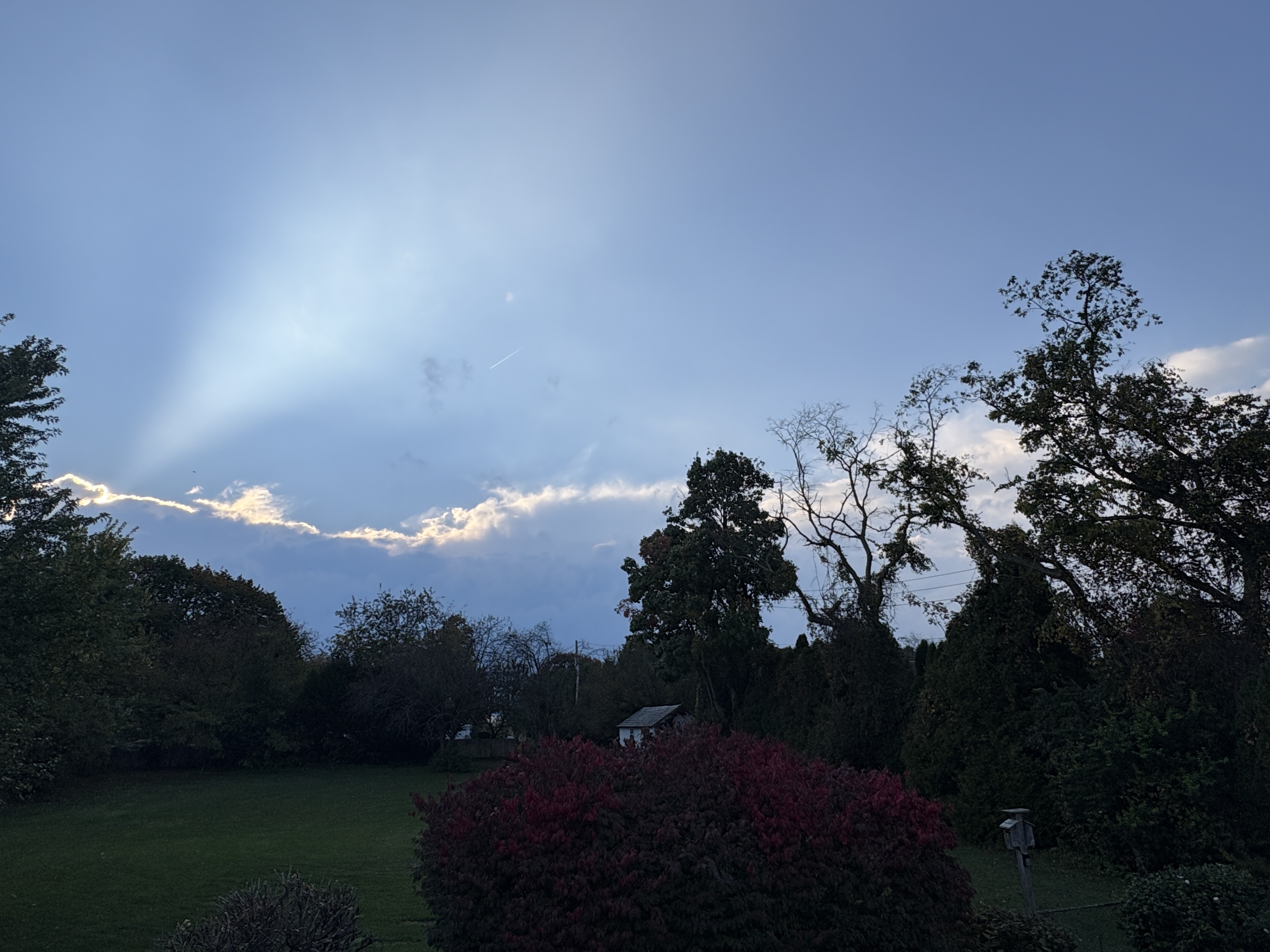
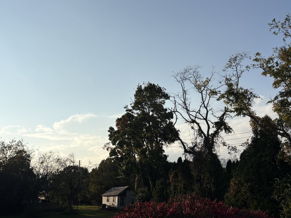
Some interesting weather about to unfold here. This is the current sky condition. No cirrus blow off on the top of this line. It’s only 20 miles away!
-
Beautifully stated. I couldn't agree more. Beautiful pictures. It looks like the wind this weekend will end fall color up on the Tug Hill and over in the Adirondacks. My favorite phase of fall color is on the backside when there's no green at all.
-
.thumb.jpg.6a4895b2a43f87359e4e7d04a6fa0d14.jpg)
Central PA Autumn 2026
Yardstickgozinya replied to canderson's topic in Upstate New York/Pennsylvania
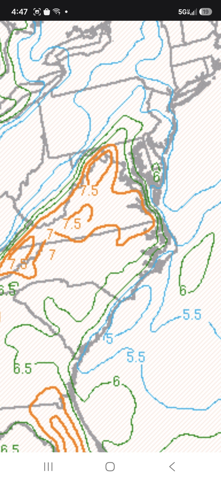
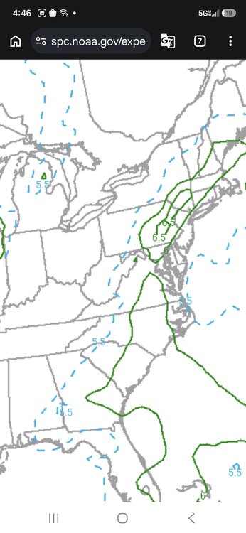
The storm's about to move out of the best areas of support. These are the lapse rates that it moved into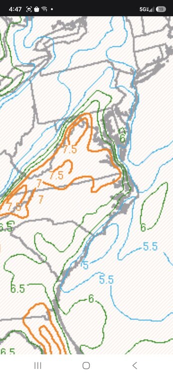
-

October 2026 General Discussion
michsnowfreak replied to SchaumburgStormer's topic in Lakes/Ohio Valley
This weekend with sunny skies, lows in the 30s, and highs in the low 50s (sat) to 60 (sun) will be absolute PRIMO Fall color viewing here. This is THE weekend. -

Central PA Autumn 2026
Itstrainingtime replied to canderson's topic in Upstate New York/Pennsylvania
Winds came howling out of nowhere. Here we go. Goodbye, summer! Take your time coming back. -
Its already not behaving the way normal strong Ninos typically do. Of course a few of the warminstas in the main forum whove melted down over the past 2 cold winters have already explained that once it comes time for the mild winter stuff, THEN it will behave like it should All jokes aside, I expect a milder than avg winter in the mean but that tells me absolutely nothing in terms of what happens day to day, week to week. There have been some huge snowstorms in ninos past, hopefully we see one this year. I do think we see some scenic wet snows; the past 2 winters were almost entirely powder here.
-
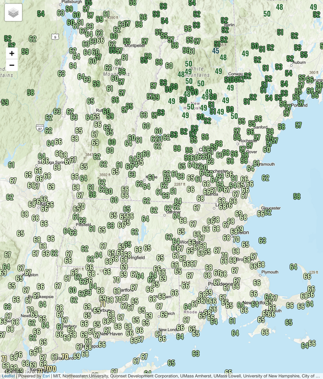
‘Tis the season
-

2026-2027 Record-breaking El Nino
mitchnick replied to Stormchaserchuck1's topic in Weather Forecasting and Discussion
Anyone notice that persistent block on the ensembles that's been hanging out over northern Russia? https://www.tropicaltidbits.com/analysis/models/?model=eps®ion=nhem&pkg=z500a&runtime=2026101612&fh=102 As for winter, I know it will be great imby.....the Dodgers lost!!! -
42 mph was my highest gust with the frontal passage
-
I can see it coming from the west, but still overcast here…Almost too late
-
-
@CAPE gets his revenge for missing out on Isaias