All Activity
- Past hour
-

Saturday, July 18, 2026 Thunderstorm/Severe Weather Potential
CoastalWx replied to weatherwiz's topic in New England
SNE Steiner second round except maybe river west. -

2026 Mid-Atlantic Severe Storm General Discussion
ThePhotoGuy replied to Kmlwx's topic in Mid Atlantic
Strong storm moving through Northern Anne Arundel. Pretty fierce winds right right now. My spot usually doesn't get such strong winds. -
Yikes glad your safe windspeed .
-

2026 Mid-Atlantic Severe Storm General Discussion
wxmeddler replied to Kmlwx's topic in Mid Atlantic
METAR KBWI 182005Z 33021G53KT 3/4SM R15R/1000V5000FT +TSRAGR BR SCT013 BKN044CB OVC100 23/22 A2986 RMK AO2 PK WND 30053/2002 WSHFT 1951 GRB05 PRESRR CONS LTGICCCCG ALQDS TS ALQDS MOV E GR 1/2 P0014 T02330222 $ 53 KTS and 1/2" Hail to boot! -
Nah..not bad here..2 rounds with 1.32 total
-

E PA/NJ/DE Summer 2026 Obs/Discussion
Birds~69 replied to PhiEaglesfan712's topic in Philadelphia Region
You just have to hope something "pops up" out of nowhere. We have the DP in our favor (DP 76F)... -
A lot of really needed rain in Oceanside. No idea how that severe threat is holding out later because I have yet to see a second of sun
-
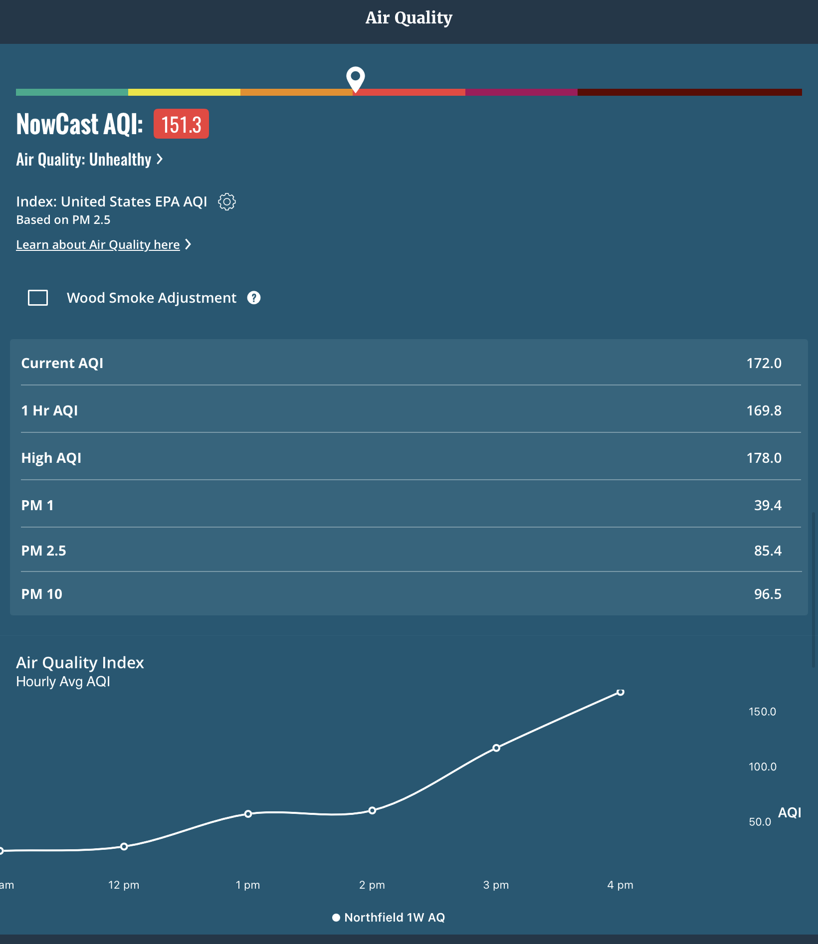
 AQI gone wild here post rain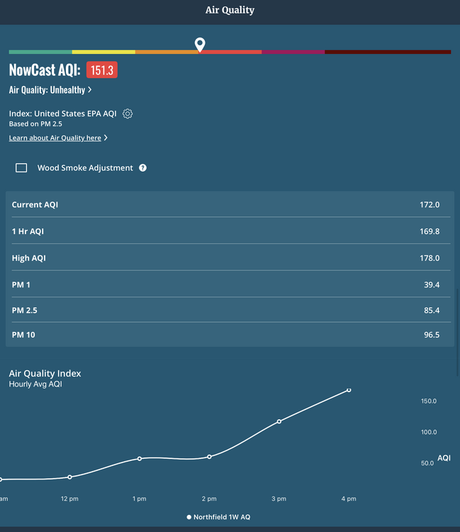
-

Central PA Summer 2026 Discussion/Obs Thread
canderson replied to Voyager's topic in Upstate New York/Pennsylvania
It’s rained most the day and I’m only at .20 -

Saturday, July 18, 2026 Thunderstorm/Severe Weather Potential
weatherwiz replied to weatherwiz's topic in New England
when I was outside with the dog this morning I was a bit shocked how it was outside...smoke was pretty evident. Thought at first it was maybe some fog but the smell of smoke was clear as day. -
2026 Mid-Atlantic Severe Storm General Discussion
wxmeddler replied to Kmlwx's topic in Mid Atlantic
The most impressive wind signature of the day so far is right over BWI... will be interesting to see what they report. TDWR says 55-60 mph. -

2026-2027 Super El Nino
Stormchaserchuck1 replied to Stormchaserchuck1's topic in Weather Forecasting and Discussion
I just think it's the science of pointing out things after the fact. If the 500mb rise had occurred in Europe that would be the "after a higher baseline jump effect". There is probably something more meteorological going on. I don't think a higher global temperature hones in primarily on the Pacific Hadley Cells. -

Saturday, July 18, 2026 Thunderstorm/Severe Weather Potential
Chrisrotary12 replied to weatherwiz's topic in New England
Yes it appear so. -
I didn't think it rained that hard but I'm at .6 (so far).
-

E PA/NJ/DE Summer 2026 Obs/Discussion
RedSky replied to PhiEaglesfan712's topic in Philadelphia Region
Radar looks like ass for this evening can't believe i missed this -

Saturday, July 18, 2026 Thunderstorm/Severe Weather Potential
Ginx snewx replied to weatherwiz's topic in New England
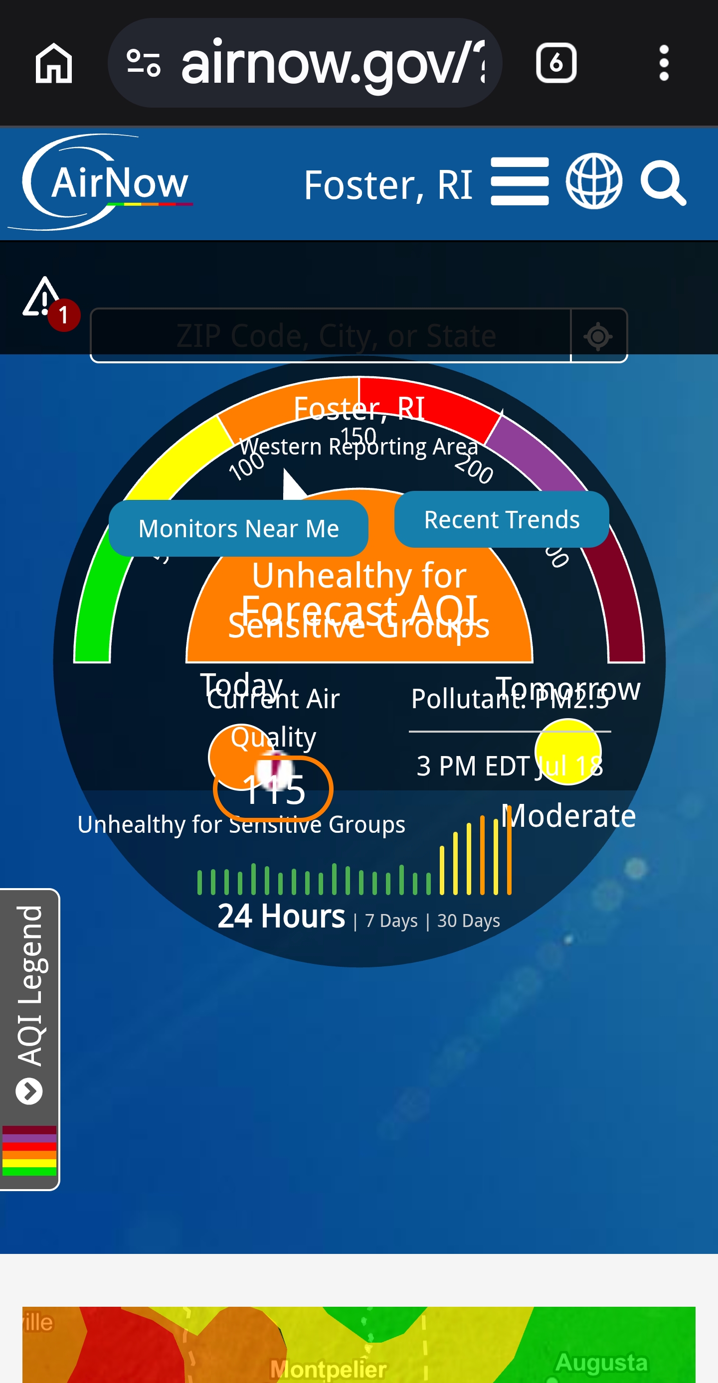
Still smoked too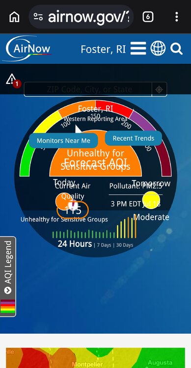
-
25 degree drop in two hours.
-
Saturday, July 18, 2026 Thunderstorm/Severe Weather Potential
Chrisrotary12 replied to weatherwiz's topic in New England
Was that gentle stratiform rain we just got the severe threat? Haven’t been paying attention. -

2026-2027 Super El Nino
bluewave replied to Stormchaserchuck1's topic in Weather Forecasting and Discussion
Both the mid-latitude North and South Pacific ridges have dramatically expanded since the late 90s. The first expansion coincided with the first global higher baseline temperature jump following the 1997-1998 super El Niño. The 2nd and more dramatic expansion occurred following the 2015-2016 super El Niño. This is the pattern which is driving the record -PDO since 2018-2019 with the record surface and subsurface warm pool from Japan to north of Hawaii. Some of the climate models run back in 2013 were showing a similar pattern developing. But it was forecast to be a much slower process than what has occurred and be focused a little further north. So my guess is that the planet is much more sensitive to the effects of warming than the climate models forecasted. Plus the model which showed this ridge expansion also forecast to lower pressures over the Arctic the summer like we have seen since 2013. We were just discussing the very strong low north of Alaska during June. North Pacific 500 mb ridge expansion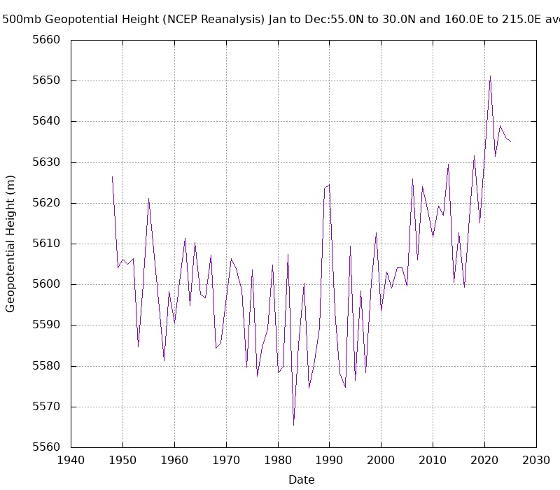
-
Saturday, July 18, 2026 Thunderstorm/Severe Weather Potential
weatherwiz replied to weatherwiz's topic in New England
just edited...meant to say 3km is a bit off with how things are evolving. HRRR pretty good to get everyone with some amount of rain for rd 2. Severe potential remains complex. Might just have to watch where the instability gradient is. But even that will be tough to pinpoint because the warm front is moving. -

Saturday, July 18, 2026 Thunderstorm/Severe Weather Potential
512high replied to weatherwiz's topic in New England
70/70 .21" so far (well needed) -
Saturday, July 18, 2026 Thunderstorm/Severe Weather Potential
Ginx snewx replied to weatherwiz's topic in New England
Round 2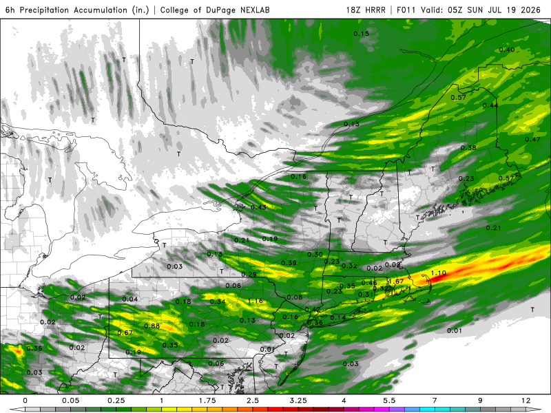
-

2026 Mid-Atlantic Severe Storm General Discussion
high risk replied to Kmlwx's topic in Mid Atlantic
Yeah, the good low-level shear is closer to the warm front in NJ. -

2026 Mid-Atlantic Severe Storm General Discussion
batmanbrad replied to Kmlwx's topic in Mid Atlantic
the stuff S/SW of Leesburg between Middleburg and Arcola looking quite healthy -

2026 Mid-Atlantic Severe Storm General Discussion
NorthArlington101 replied to Kmlwx's topic in Mid Atlantic
Next