All Activity
- Past hour
-
It’s Dewey here all day thankfully . Never dried out Was out enjoying it in various ways in yard
-
I should be banned for this statement. 18z NAM. Anyone wanna look? BULLETIN Hurricane Erin Advisory Number 22 NWS National Hurricane Center Miami FL AL052025 500 PM AST Sat Aug 16 2025 ...CATEGORY 5 ERIN CONTINUING TO PASS NORTH OF THE NORTHERN LEEWARD ISLANDS... ...NEW TROPICAL STORM WATCH FOR THE TURKS AND CAICOS ISLANDS... SUMMARY OF 500 PM AST...2100 UTC...INFORMATION ---------------------------------------------- LOCATION...20.0N 64.0W ABOUT 135 MI...220 KM NNW OF ANGUILLA ABOUT 175 MI...285 KM NE OF SAN JUAN PUERTO RICO MAXIMUM SUSTAINED WINDS...160 MPH...260 KM/H PRESENT MOVEMENT...W OR 280 DEGREES AT 15 MPH...24 KM/H MINIMUM CENTRAL PRESSURE...915 MB...27.02 INCHES
-
 Skies are very very dark to my north above the NY/NJ state line by Mahwah, NJ
 -
What a beautiful display of raw natural power this evening out there in the tropical Atlantic. The water vapor imagery is very impressive. It looks like it wants to tighten up that outflow and become a supercane overnight tonight.
-
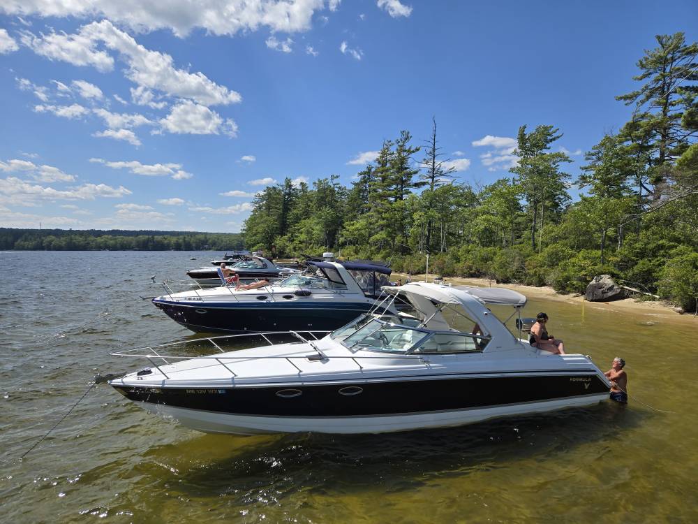
What a shitty lake day Sent from my SM-S921U using Tapatalk
-
 Tomorrow will turn briefly warmer with highs reaching the upper 80s and lower 90s acros the region. Afterward, a shift toward cooler weather lies ahead. Noticeably cooler air will overspread the region tomorrow night and Monday. High temperatures will likely reach the upper 70s Monday through Wednesday and then the lower 80s on Thursday. The extended range guidance continues to suggest that the closing week of August could feature below normal temperatures. Precipitation could be near normal. The synoptic pattern should limit direct tropical cyclone threats for the foreseeable future. Impacts from elevated tides, surf, and rip currents would be the most likely effects produced by Erin as it tracks well offshore between the U.S. East Coast and Bermuda. The ENSO Region 1+2 anomaly was +0.8°C and the Region 3.4 anomaly was -0.3°C for the week centered around August 6. For the past six weeks, the ENSO Region 1+2 anomaly has averaged +0.50°C and the ENSO Region 3.4 anomaly has averaged -0.15°C. Neutral ENSO conditions will likely continue into early autumn. The SOI was -4.37 today. The preliminary Arctic Oscillation (AO) was +0.333 today. Based on sensitivity analysis applied to the latest guidance, there is an implied 57% probability that New York City will have a cooler than normal August (1991-2020 normal). August will likely finish with a mean temperature near 75.6° (0.5° below normal). Supplemental Information: The projected mean would be 0.4° above the 1981-2010 normal monthly value.
 -
 High of 86 here. 6-day “heat wave” finished.
 -
Humidity def tickling up. Stuffy
-
Congrats on 1-3”
-
Well, he manages to claim victory if winter in the east is cold/snowy regardless of how his postulation works out.
-
OMG, you didn't go there.
-

Hurricane Erin: 160 MPH - 915mb - W @ 16
Floydbuster replied to BarryStantonGBP's topic in Tropical Headquarters
Recon should be in there in the next hour. -
Shwrs/stms this morning with temps only in the low-mid 60's this aftrn. Cool day.
-
We just cant know the character of winter until the rate of change of snow cover advance over Eurasia is determined during the month of October.

-
I was gonna say, looks decent on radar there.
-
I wonder about that. Are there verification graphs that compare the two? My prejudiced and unscientific observation makes me think that Skynet is very good out past a week or so.
-
Occasional Thoughts on Climate Change
donsutherland1 replied to donsutherland1's topic in Climate Change
Three things: 1. The focus of my post was Phoenix's monsoon season where recent years have seen disappointing monsoon season outcomes. It was not intended to focus on all of Arizona's monsoon season. 2. The expected impacts of climate change for the Phoenix area were fewer rainfalls, lower monsoon season rainfall and a warming monsoon season. All three are present in Phoenix. 3. The Phoenix area, precisely because it has warmed faster than much of Arizona, could be a barometer of what lies ahead in coming decades as the climate continues to warm elsewhere in Arizona. Aridification won't have a uniform impact in Arizona. Indeed, a prior aridification regime might well have led to the demise of the Hohokam people who resided in the vicinity of where Phoenix is today. -
 Erin is not a fish storm, it's a whale storm.
 -
Absolutely poured here, still moderate. Nothing like a quick .40” to water the yard.
-
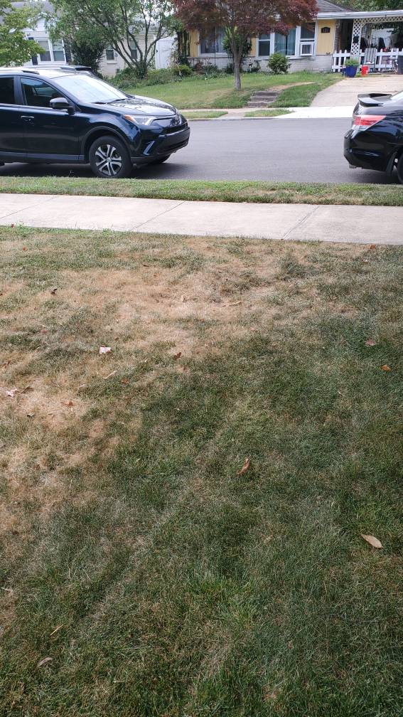
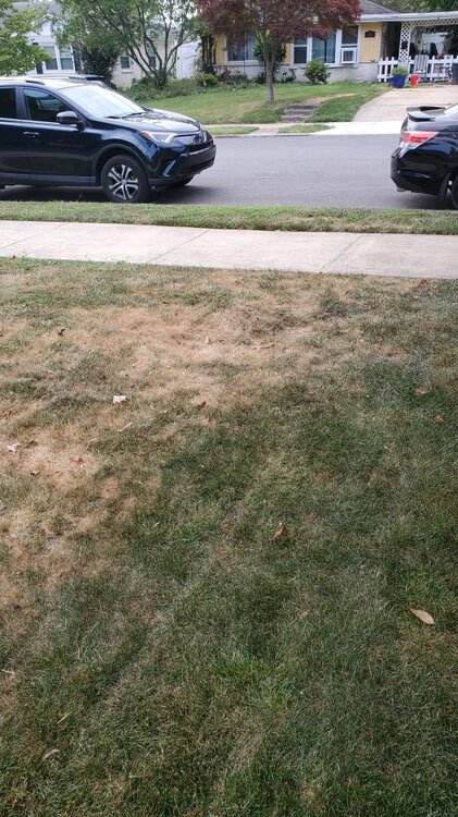
I’m at .2 since July 10. Everything is dying fast. Had my roof redone 2 weeks ago and would love rain to help wash any remnants out of the gutters.
-
 Follow NWS/WPC/NHC. I'll monitor for my own interest on whether the more benign GEFS prevails over the more vigorous EPS in our NYC subforum. 12z/16 EPS nw of envelope of remaining global solutions for ERIN. Glad I'm not fishing Atlantic waters Monday-Friday. EPS is as yet the most intriguing for 1-2" 12 hour general rainfall sometime between 8/19-21 for NJ/CT/NYS/PA, in part due to nw flow UL short wave with associated RRQ UL jet in the Maritimes and some relatively shallow low level ese moisture inflow related to the position of the H near Nova Scotia and the L near Lake Erie, connecting a bit with ERIN? EPS PW near 1.5 and increased over the past 24 hrs of EPS cycles for 12z Wed. Lots of fairly deep vorticity NYS into the mid Atlantic states along the boundary next week into Thu AM. 12z/16 EPS gusts much more significant our Atlantic waters vs more seaward GEFS and CMCE. Continues my attention on ultimate results for Tue-Wed-Thu AM next week. WPC at 1841z has added marginal risk for excessive D4 and 5. This line added at 2013z.
 - Today
-
Radar has just been depressing this past month. I'm at 0.51" the last 30 days and the grass has gone fast Sent from my SM-G970U1 using Tapatalk
-
I picked up 4” on 10/29/2011 and 4 more inches total the rest of the winter.
-
Bout time for a Fall thread. It sure looks like the summer time pattern is starting to break down a bit early compared to recent years. Cold fronts could be getting further south than recent years if modeling is to be believed. And they are lined up one after another. I certainly don't think we have seen the last of the summer heat, but the sustained heat may well be over by Labor Day - ie weeks on end of high temps and humidity.


.thumb.png.4150b06c63a21f61052e47a612bf1818.png)