All Activity
- Past hour
-

Central PA Fall Discussions and Obs
Superstorm replied to ChescoWx's topic in Upstate New York/Pennsylvania
Thump is key for Lancaster and York. The models that “show” thump give us the highest potential. . -

Central PA Fall Discussions and Obs
GrandmasterB replied to ChescoWx's topic in Upstate New York/Pennsylvania
Nowcasting is not what it used to be, but in this situation it may come into play given how tight the gradient is forecast to be between a trace and 4”. We have seen models underestimate WAA, but we’ve also seen them underestimate evaporative cooling. Will be interesting to see play out and hopefully everyone gets a nice snow tomorrow. -
Was supposed to reach a high of 42. Never went above 39. So appears slightly under projected temps.
-

First Winter Storm to kickoff 2025-26 Winter season
tavwtby replied to Baroclinic Zone's topic in New England
I went from a borderline warning event here to possibly being skunked by warm mid-level that'll probably work up the valley, also, the WU point and click showed 6+" for almost a week now is at 5", with a WWA and a Aly forecast for possibly 3-4", which keeps getting smaller...rinse repeat last few seasons, at least it's 12/2 and we still have time to correct, maybe. Would be nice to get a phase and stall here, going to be in and out in a few hours I think. Still thinking North ORH/SNH is gonna jack here -
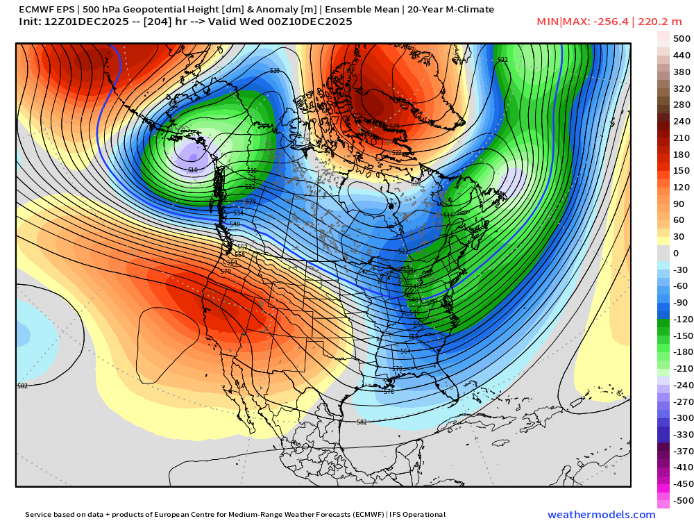
EPS is def more aggressive than other guidance trying to get a few inches in here on Saturday. A potential bigger threat would be middle of next week around the 10th-11th....but that one is all over the place. Lets see if we can amplify that ridge a little more out west....because we have a nice -NAO and some low heights in SE Canada which bodes well for actually trying to hold a high in place.
-
18z ICON showing a little snow love for southern and SW VA Friday.
-
My backyard station confirms a wet bulb of 32. It’s gonna snow whether it accumulates or not.
-
38/22 currently
-
Congrats your wet bulb is below freezing already. I think you get an inch of snow.
-
Tell me more.
-

Central PA Fall Discussions and Obs
Jns2183 replied to ChescoWx's topic in Upstate New York/Pennsylvania
It's suppose to start by 3-4am and be done by 12-1. I'm not feeling the timing plays much into it here Sent from my SM-S731U using Tapatalk -
Dew point is favorable, too
-

First Winter Storm to kickoff 2025-26 Winter season
CoastalWx replied to Baroclinic Zone's topic in New England
Reggie looks a little better for NE MA. Ends as a little snow at BOS. -
There is a reason I let my slightly above average snowfall forecast ride even while many were jumping ship over the last 2 weeks. My gut says something is different. We will see, maybe I just ate something...
-

December 2025 regional war/obs/disco thread
TauntonBlizzard2013 replied to Torch Tiger's topic in New England
I wouldn’t hate it. If we are just going to follow the same pattern as the last several years, an early warmup would be nice -

First Winter Storm to kickoff 2025-26 Winter season
CoastalWx replied to Baroclinic Zone's topic in New England
Not sure I agree with that logic. -
Just to clarify, this is the WCS PDO, which is often ~~0.75-1.00 <NOAA PDO. So, this implies that the equivalent Nov 29th daily NOAA’s is ~-1.25 to -1.50. I estimate Nov’s NOAA PDO will come out to ~-1.75 to -1.90 vs Oct’s -2.40 and July’s -4.16, which would show the strong rise.
-
Thank you for this info
-
First Winter Storm to kickoff 2025-26 Winter season
Snowcrazed71 replied to Baroclinic Zone's topic in New England
Sh&t... At this point I'll take a coating at the end. At least it looks like something happened and it wasn't washed away. -

Central PA Fall Discussions and Obs
Itstrainingtime replied to ChescoWx's topic in Upstate New York/Pennsylvania
I think @Blizzard of 93should still do pretty well...although the mix line often ends up even farther NW than short-term models indicate. The rest of us need a thump, which is still quite possible. -

First Winter Storm to kickoff 2025-26 Winter season
moneypitmike replied to Baroclinic Zone's topic in New England
what's the best site to find soundings? I need to figure if/how much I mix. TIA -
Storm cancel December Cancel Winter Cancel
-

First Winter Storm to kickoff 2025-26 Winter season
ineedsnow replied to Baroclinic Zone's topic in New England
Looks like grid gone here -

First Winter Storm to kickoff 2025-26 Winter season
DomNH replied to Baroclinic Zone's topic in New England
Maybe? I guess if we end up with 5-8'' of paste there could be some isolated outages here and there. Doubt it'll end up being that widespread. -

First Winter Storm to kickoff 2025-26 Winter season
kdxken replied to Baroclinic Zone's topic in New England


