All Activity
- Past hour
-
Or last time PWM (59.7") was basically even (Spring will widen that gap, presumably).
-
what? it was just 80 for days. Enjoy the coming warmth!
-

E PA/NJ/DE Spring 2026 Obs/Discussion
MJO812 replied to PhiEaglesfan712's topic in Philadelphia Region
And here is the euro in weenie range Blocking is making a return on the models. Might be too late but we will see.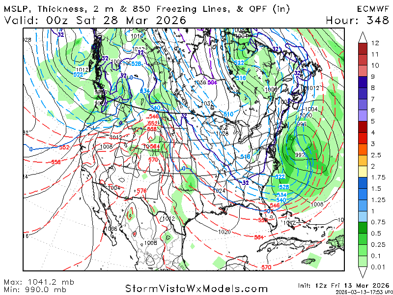
-
I don’t know my exact totals but I think were averaging about 3/4” a week here
-
12z NAM was an outbreak of severe storms across the SE into the Mid Atlantic Sunday evening through Monday. There is a very large area of high shear and sufficient CAPE overlap showing up here.
-
Yep
-
We haven't done that in several years I believe. I think it can stay here for the time being. Or we can just stay here in general. It's up to the mods. We tend to treat severe thunderstorm events differently than winter weather. Also it tends to be much easier to keep track of things and these severe threads don't get out of hand like the winter weather ones do. Main reason for separating winter threads is because of how much junk clogs them up within minutes.
- 156 replies
-
- 1
-

-
- severe
- thunderstorms
- (and 7 more)
-
I’ve been tuned out for a while, spent last half of Feb in Hokkaido, Japan. That’s for another post. Looking ahead def some chances later in the month 19-26th? for the climo favored spots especially. We’re basically fully melted out here. Has been a cold but low snow year for the interior foothills into the mountains. Spots like Greenville are looking at less than 40” in January/Feb. that’s bad
-
The two 18" storms (Dec-Jan) were the difference, Take those 2 away and it would be subpar here/
-
There’s a thick ish sliver of a enhanced risk from nw west tennessee extending up into illinois and Indiana I think the southern portion of it and a bigger slight risk encompasses that followed marginal and general thunderstorms for Sunday looking like a big line coming on through .
-
Should we have a separate (pinned) thread for this event, since it appears to be the real deal?
-
-
79438499621__93E89579-AD18-4DC3-837B-5993C062F6F9.mp4
-
That’s a high impact event for a decent portion of the upper Midwest
-
I’m at 62.5”. Difference is the December norlun and a couple other events where you outperformed. Wonder when the last time klew was ahead of the southern foothills/interior Cumberland county.
-
At this point I’m planning on just rain lol
-
Hopefully not that much….that same area in NE MI got slammed last March. Our state forests got destroyed. Looked like a bomb went off. Ironically almost to the day last year…
-
And Tuesday morning is going to be pretty damn cold.
-
2-4” wind whipped event still in play. Top 5 season event still on the table.
-
Since the winter grading is totally subjective based on the poster’s perception, its a B for tripol.
-
Back to the base state.
-
My friend in Glenwood has video of a tree falling during that storm. Winds didn’t look crazy so I thought it was more of a downburst, but def part of that same line.
-
The 12z Euro is a big shift back west with the secondary defo band. The previous two runs had almost nothing in eastern Iowa.

-
They did the M thing for several weeks regarding the back to back days in early February with dustings. Then said “F it” and went with a T both days
-
same as it ever was