All Activity
- Past hour
-
Yes, like an ERC when it finishes and the sig intensification can occur again, Just the dry slot gap N and E makes this process less likely here.
-

2026-2027 Record-breaking El Nino
MJO812 replied to Stormchaserchuck1's topic in Weather Forecasting and Discussion
2016 was amazing 31 inches of snow ( 27 hours of snow ) -
2026-2027 Record-breaking El Nino
MJO812 replied to Stormchaserchuck1's topic in Weather Forecasting and Discussion
Yea prolonged cold will most likely not going to happen especially in the first half of winter. Im fine with that. Dont want suppression depression -
Lightning in the core, convection rotating upshear.
-

Septorcher 2026 Discussion - Endless Summer
CoastalWx replied to Damage In Tolland's topic in New England
Eff them. -
Septorcher 2026 Discussion - Endless Summer
CoastalWx replied to Damage In Tolland's topic in New England
At least we’ll Be mowing in December when it finally rains. -
Recon finally starting to see winds come up, correlating with a flare up over center and increased radar velocities. The strengthening has begun
-

E PA/NJ/DE Autumn 2026 Obs/Discussion
JTA66 replied to PhiEaglesfan712's topic in Philadelphia Region
Met fall...we made it! Now if we can get the weather to cooperate. 74/F/DP 73F at 9am. -

Occasional Thoughts on Climate Change
donsutherland1 replied to donsutherland1's topic in Climate Change
When one's narrative is destroyed by the facts, some accept reality. Others, however, resort to conspiracy theories.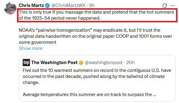
-
We are finally seeing a blowup of very deep convection near the center over the last 30 minutes.
-
The odd reason is two things, hype for clicks/like, and as I have said before, esp. when it comes to satellite and cold clouds tops, some just "see at the trees w/o seeing the forest." The question you have to ask, is that developing deep convection banded or showing twist, esp near the center? If not, that means you have to temper your expectations at first. Many times a big blow up of convection collapses almost as fast, as one example, and irregular blobs of convection for a TC are not conducive to RI. One large coherent blob is ok, esp. if it persists, b/c that often is a sign of a developing CDO.
-

2026-2027 Record-breaking El Nino
Keith Central PA replied to Stormchaserchuck1's topic in Weather Forecasting and Discussion
Problem is the evidence and history..Every Super Nino has lead to warmer than normal temps. But that doesn't mean it can't snow. Just prolonged winter weather is unlikely. I remember 1972,1982,1997 and 2015. Not fun,but we did get blizzards in 83 and 2016. -
You know, interestingly, in the past thirty or so minutes since posting that, the old inner circulation or nascent core is getting absorbed by a strong band that is intensifying. That is what you want to see if you want strengthening, but it needs to wrap around to become a proto-eyewall feature. At any rate, such a strong band should be resulting in a significant expansion of convection / cold cloud burst on satellite soon.
-

Septorcher 2026 Discussion - Endless Summer
SouthCoastMA replied to Damage In Tolland's topic in New England
looking forward to a couple rainy benchmark nor'easters. -
They've increased 20 kts in last 20 minutes in SW part of circulation. This could be the much-awaited strengthening showing up. Definitely something to watch. Some 50-55 kt barbs showing up now. Once again I think H is too much to ask for but this likely does strengthen into LF as a mod-strong TS
-
August 2026 at DCA tied for the 14th warmest August in DC history with an average temperature of 80.1 degrees -- 0.7 above the 1991-2020 normal. June-August 2026 at DCA was the 8th warmest meteorological summer in DC history with an average temperature of 79.8 degrees -- 1.4 above the 1991-2020 normal. January -August 2026 at DCA was about the 19th warmest first eight months in DC history with an average temperature of 61.4 degrees. August 2026 precipitation at DCA totaled 4.27 inches, 1.02 above the 1991-2020 August normal of 3.25 inches. For the first eight months of 2026, DCA precipitation totaled 21.56 inches, 6.35 below the 1991-2020 normal of 27.91 and the 22nd dryest in DC history. However, IAD precipitation totaled 29.40 inches, 0.18 above the 1991-2020 normal of 29.22 inches.
-

Septorcher 2026 Discussion - Endless Summer
dendrite replied to Damage In Tolland's topic in New England
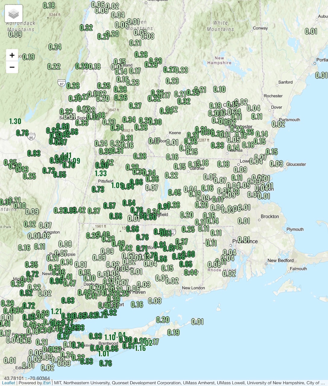
Yup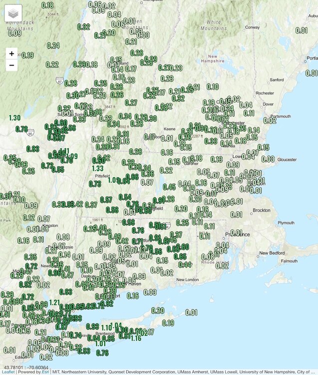
-
New month, new obs. Post them here.
-
Finally back to .500 and 1/2 game out. I know it is a very long shot of the Orioles making the playoffs, but they are fun to watch right now. September is a burtal schedule.
-

2026-2027 Record-breaking El Nino
forkyfork replied to Stormchaserchuck1's topic in Weather Forecasting and Discussion
-
Does look like though some stronger velocities being sampled by LCH
-

2026 Mid-Atlantic Severe Storm General Discussion
Eskimo Joe replied to Kmlwx's topic in Mid Atlantic
Wednesday and Thursday could be legit ENH or MOD for someone in the Northeast or Mid Atlantic. -
Look at the latest radar, it seems the small inner "eyewall" has almost dissipated like in an ERC and you have a larger center taken over. But even that larger center is not closed off w/ precip and looks like a fairly strong dry slot is wrapping in. Look like it is coming in from the SE, and we had the increase in shear apparent from the ESE earlier this morning, so that may be pushing the dry air into the core.
-
Quite the jog south by the core in recent radar frames. It looks like the stronger connection to the south may have given it a tug. It’s probably a wash at this point, but that may have bought it an extra hour or two.
-
Think this one had some sticker shock to Wx Twitter being it has had a very impressive radar appearance for a weak system but clearly it is still not a mature circulation and is in the formative stages. Given 1 more day this would 100% become a hurricane and possibly more, but the jump from TD to hurricane organization wise is huge. IR paints the real picture here where there is no sustained core. It’s close but out of time. 50kts remains my call. Personally I am shocked NHC went with a hurricane watch