All Activity
- Past hour
-
I lol'd
-

January 18th Back Door NW Trend Snow OBS Thread
RedSky replied to Mikeymac5306's topic in Philadelphia Region
Radar has boomed i see gravity waves -
Not sure anyone here is trusting it?
-
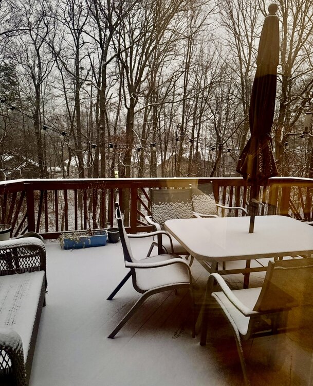
Got a dusting at lake Anna. Looks like I might catch a little extra snow shower based on the radar before it’s all done.
-
in case anyone is interested in ai/machine learning and basic wx prediction. you don't need a 256 GPU cluster to get going
-
Rise of the Machines: January 18-19 Winter Storm Obs Thread
Kitz Craver replied to WxWatcher007's topic in New England
Radar looks pretty good to the SW -
January 2026 Medium/Long Range Discussion
SomeguyfromTakomaPark replied to snowfan's topic in Mid Atlantic
AI GFS is less suppressed than its 12z run. -
I mean we don't really know that quite yet...gotta see where the weekend thing goes.
-
Great little afternoon duster. I’m good with any snow and all snow. Sidewalks and streets definitely caving, but the JI back end is near.
-
At this stage I'd say storm sign is there and let's focus on ensembles, these runs are definitely going to change North and south this far out, but signal looks great.
-

January 18th Back Door NW Trend Snow OBS Thread
Newman replied to Mikeymac5306's topic in Philadelphia Region
That 850mb fronto band really bringing the goods further NW into Berks/Lehigh. Folks already got another inch this round -
Sorry You didn't get your 4 inches!!! Blame it on the goofy Euro!
-
TWC app actually shows snow Saturday and sunday with estimated amounts. It never calls for snow this far out lol.
-
Yeah plus the old gfs has nothing north of VA
-
Temperature finally dropping here as the snow picks up some in intensity. 33.1
-
Rise of the Machines: January 18-19 Winter Storm Obs Thread
met_fan replied to WxWatcher007's topic in New England
It's fine - this is a silly argument, but the time stamp on the map you are showing is from four hours ago, and the others I posted are from 3:14 and 3:16. They make it overly complicated. -
Yeah it's been straight Miller B.
-
(002).thumb.png.6e3d9d46bca5fe41aab7a74871dd8af8.png)
January 18th Back Door NW Trend Snow OBS Thread
ChescoWx replied to Mikeymac5306's topic in Philadelphia Region
Snow has really picked up now moderate to heavy with the temp down to 27.3 roads across the area are now all snow covered. 2026-01-18_17-31-52.mp4 -
1.8, 1.2, .6
-

Storm potential January 17th-18th
WestBabylonWeather replied to WeatherGeek2025's topic in New York City Metro
Stuck at 33 in west babylon -
And then a monster coastal after that. Would be an incredible achievement in AI weather modeling if it's even 80 percent correct.
-

January 18th Back Door NW Trend Snow OBS Thread
RedSky replied to Mikeymac5306's topic in Philadelphia Region
Moderate to heavy this round is over performing -

Storm potential January 17th-18th
Volcanic Winter replied to WeatherGeek2025's topic in New York City Metro
Finally snowing and sticking Toms River / Manchester border. Moderate intensity. 32.7 / 32 -
But I thought the Allen Iverson models were “the answer?” I’ll be here all week.
-
I’d pay attention to how the ensembles trend, whether they shift more south or stay where they are.


