All Activity
- Past hour
-
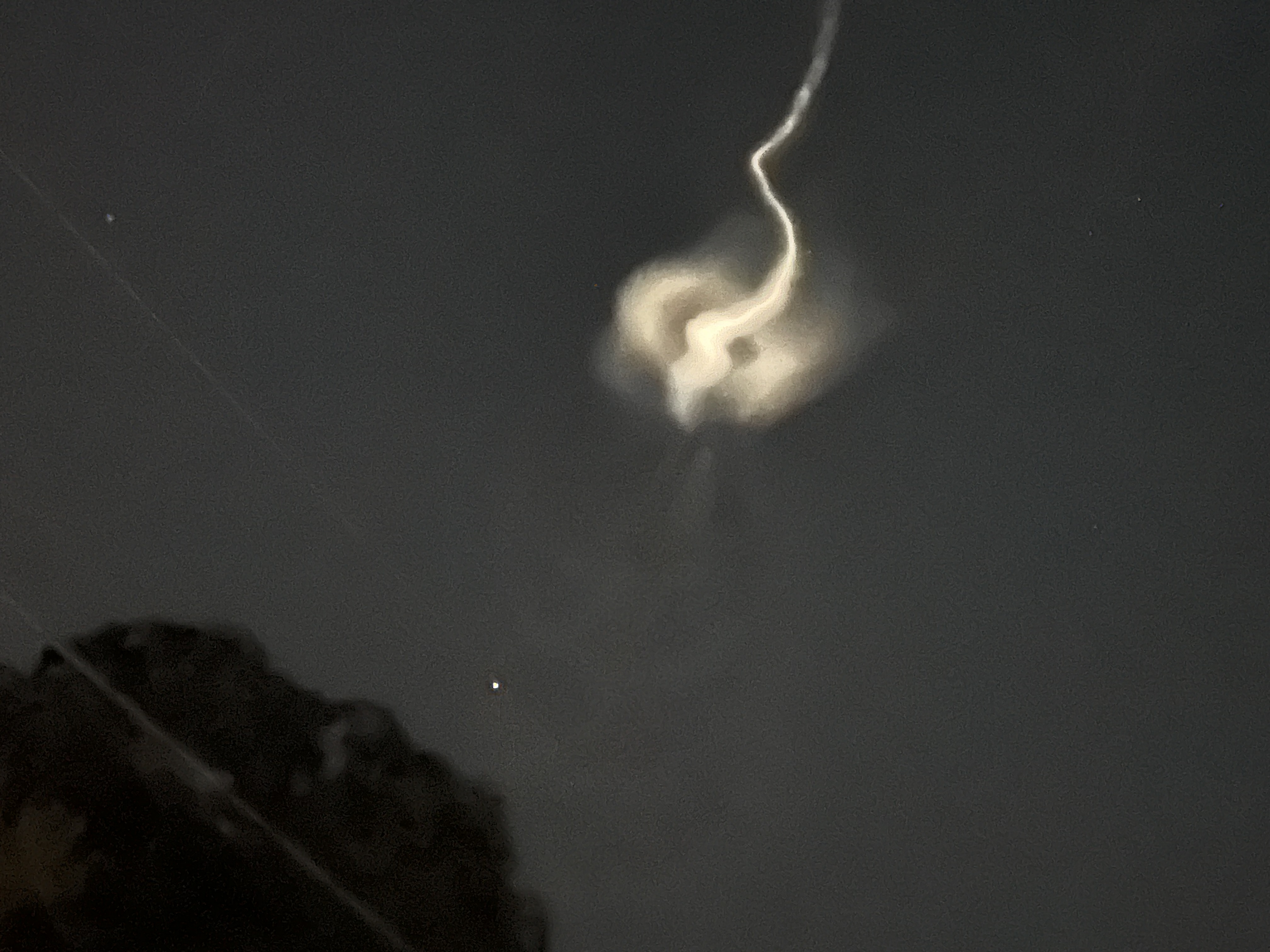
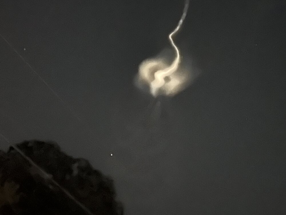
These are sounding rockets launched by NASA. Not really familiar with what they usually carry but this one sounds especially cool "The TOMEX+ mission will focus on a layer of atomic sodium in the atmosphere that peaks at about 56 miles (90 kilometers) altitude. This sodium layer forms from the constant influx of dust grain-sized meteors that burn up in the sky. A specialized laser aboard the TOMEX+ rocket, tuned to a wavelength that excites sodium atoms, will cause the sodium layer to fluoresce. This glowing band then becomes a natural tracer for atmospheric motions, allowing scientists to track its bends, ripples, and swirls as energy moves through the upper atmosphere."
-
Yep felt that one earlier in the day. Was taking a little snooze and then heard what sounded like a gunshot going off next door. Must’ve been a direct cg hit within a mile or so. Startled the hell out of me and the ol pooch lol. We’ll take the quick half inch or so from those downpours..every bit counts right now!
-
What is this?
-
Models/MJO suggest it should remain pretty quiet at least through the first week of Sept. Enjoy the chilly respite/rest while we have it as it may not remain that way for too long after that.
-
Probably this:
-
It faded, but is circular now visible for at least 5 minutes
-
-

2025 Atlantic Hurricane Season
TradeWinds replied to BarryStantonGBP's topic in Tropical Headquarters
Everywhere I guess since the entire water column is below 78F.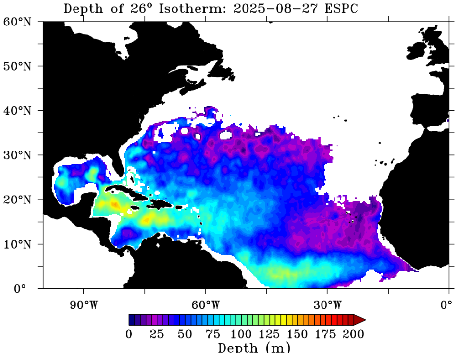
-
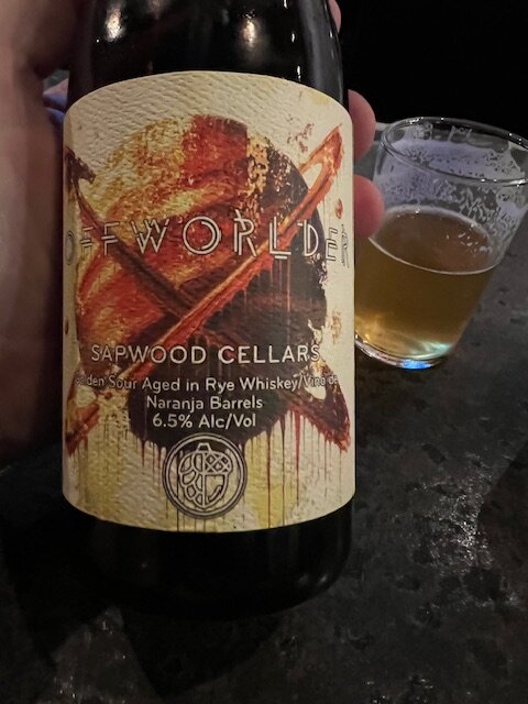
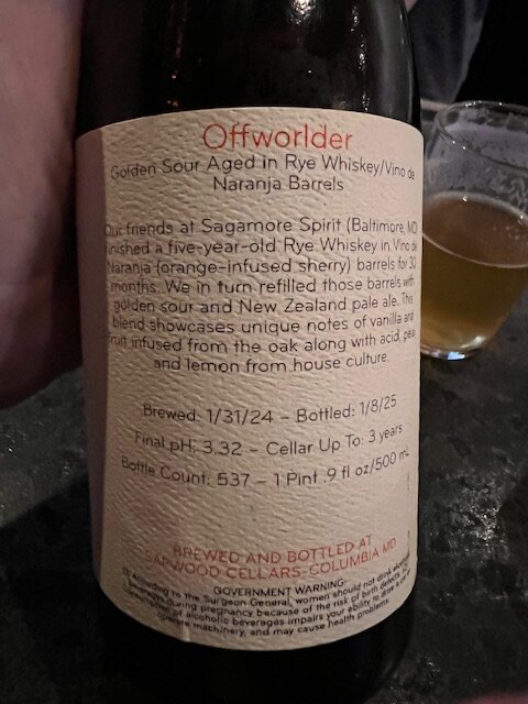
I just got off work and brought a bottle from Sapwood to share with a birthday staff member after our shift. Sapwood is rocking it.
- Today
-

2025 Atlantic Hurricane Season
WEATHER53 replied to BarryStantonGBP's topic in Tropical Headquarters
When that much cooler water gets upwelled, what temp and depth is it upwelling from? Thanks -
One thing I look at entering the Fall is the overall level of heat south of the United States. When you get warm ups ahead of storms in the Fall/Winter from much deeper heat sources it can really kill the cold shots in terms of the averaging out of the monthly/seasonal temps. From 1961-2024, the tendency for the top Atlantic hurricane seasons is for the West Coast to be pretty warm Jun-Aug. We haven't had that this year. There have been pretty cold periods on the West Coast this summer. We don't appear to be heading to a top ten type season based on the composite. 2005 has a passing similarity but had different placements for the subtropical features. But really 1995/1999 are the only two of the ten super seasons that have any kind of cold Summer pattern at all for the West Coast. The precipitation pattern is fairly similar but much wetter in the Plains and a bit drier in the East. But a lot of these active hurricane seasons have storms hitting the east/gulf to drive up their totals in Jun-Aug, which we haven't had this year. The precip pattern difference looks like 2025 is the active hurricane seasons, but on a spoke centered on FL, with the core of the moisture rotated counterclockwise toward the Plans. To me that implies completely different positioning of the Bermuda High from the hyper active seasons. But we'll see.
-
 We had our August deluge on parts of LI and CT last year but after-dry as a bone like this year.
 -
Current 10 pm temps DCA 70, IAD 57, BWI 61, Canaan NWR 33, lol. Edit- 50.1 here.
-
2025 Atlantic Hurricane Season
TradeWinds replied to BarryStantonGBP's topic in Tropical Headquarters
SSTs took an absolute beating NC and north. Agree that current weather shows no opportunity for recovery. A hybrid storm north of NC could still happen but anything tropical would likely rapidly weaken. Water temps are in 60s in some places and oceanic heat content is very low. SC and south still has fuel. Offshore buoys in FL in mid 80s and still upper 80s in some places off FL east coast. Steering pattern still in protection mode from East. -
That sounds insane
-
These polar jet breakups that drive cool polar air down to latitudes where it is unseasonably have become more common if anything. We had that big Texas freeze a few years back. Just recently New Orleans had a significant snowfall.
-
Already 32.6 at Canaan NWR. Fast! It was 37.3 this time yesterday.
-
Took some adjustments to the Catoctin downslope breeze to get my three point shot to fall, but overall, a very Colorado-like day.
-
 Sussex Airport may only record a trace of rain for the entire month of August? If the trend continues, which it has a chance to, virtually all of New England sees their driest August on record?
 -
 IEM is maybe a little overdone here, but very impressive dry pattern. This seems to be the trend these days with dryness August-October, after spring/early summer deluges.
 -
 Highs: EWR: 79 ISP: 79 TEB: 78 PHL: 78 New Brnswck: 77 BLM: 77 JFK: 77 * missing intra hour highs (shicking) ACY: 77 LGA: 76 TTN: 75 NYC: 75
 -
Saw 3 wins in a row. Can’t go tomorrow booooo
-
Looks like we may do this all over again in about 8-9 days if modeling is correct. Bout time for a fall thread!
-

2025 Atlantic Hurricane Season
NorthHillsWx replied to BarryStantonGBP's topic in Tropical Headquarters
Not to beat a dead horse but holy moly it’s quiet in the tropics