All Activity
- Past hour
-
Think happy cold thoughts
-

“Cory’s in LA! Let’s MECS!” Jan. 24-26 Disco
RUNNAWAYICEBERG replied to TheSnowman's topic in New England
Beer -

“Cory’s in LA! Let’s MECS!” Jan. 24-26 Disco
Damage In Tolland replied to TheSnowman's topic in New England
LMAO. My recollection of dates is a disaster -

Central PA Winter 25/26 Discussion and Obs
Ruin replied to MAG5035's topic in Upstate New York/Pennsylvania
It is but if they do see you driving i doubt they stop you. -

January 24-26: Miracle or Mirage JV/Banter Thread!
winter_warlock replied to SnowenOutThere's topic in Mid Atlantic
With the storm this weekend and the one next weekend... Gonna be a lot of sleepless nights!!! I'll be dragging ass at work all week !! -

Jan 24-26 Weekend Snow and Sleetfest Model Thread Part Tres
wxmeddler replied to H2O's topic in Mid Atlantic
Yeah, it will be interesting for you. Redhouse will likely switch over. Good news is that if it does flip over, it will be towards the end and 90% of your precip will have already fallen as Snow. -
.thumb.png.4150b06c63a21f61052e47a612bf1818.png)
“Cory’s in LA! Let’s MECS!” Jan. 24-26 Disco
HIPPYVALLEY replied to TheSnowman's topic in New England
20” in Savoy and 10” in N Adams, literally 10 minute drive but world of difference. -

“Cory’s in LA! Let’s MECS!” Jan. 24-26 Disco
HoarfrostHubb replied to TheSnowman's topic in New England
Over my fanny -
2013
-

January 2026 regional war/obs/disco thread
512high replied to Baroclinic Zone's topic in New England
yes, seems since 730pm the wind here has cranked up! 16F/6 windchill -
Just saw on Ryan Hall, from what I'vegathered this system is apparently capable of or is in the process of creating thunder snow/sleet/ice.
-
January 24-26: Miracle or Mirage JV/Banter Thread!
winter_warlock replied to SnowenOutThere's topic in Mid Atlantic
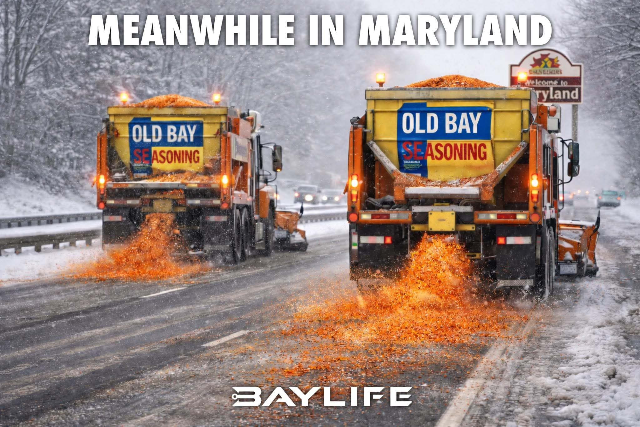
This is how we salt the roads in Maryland!
-

MO/KS/AR/OK 2025-2026 Winter Discussion
lookingnorth replied to stormdragonwx's topic in Central/Western States
There's been some light sleet in Norman, and Google Maps is saying there are travel impacts on I-35 and I-44 south of the OKC metro. -
bruh if this corrects even MORE warm… this would be worse than my pessimistic 6-8in call for ABE before sleet
-

Jan 24-26 Weekend Snow and Sleetfest Model Thread Part Tres
Roger Smith replied to H2O's topic in Mid Atlantic
It has begun -- moderate snow at Dodge City KS, temp zero F. Moderate sleet near Wichita Falls TX, temp 27 F. My current take is very sharp snowfall cutoff close to I-95, hope I am wrong by 25-50 miles (south) but somewhere in that general area, gradients of 2 or 3 inches total snowfall every 10 miles until you reach an all-snow zone something like Frederick to York to Allentown. North of that, 12-16 local 20. So across DC region, it could be 8" south to 12" north, or just as easily 4" to 8". I will go with median values there and say 6" near DCA and 10" near IAD. Around 8-10" BWI to 12-15" Westminster. Would love to see this verify along GFS lines instead but often, the result of model disparity and model range is a weighted consensus. If the ECM stays near average of GFS and NAM output, then it will most likely do better than both of them. Should be a very impactful storm regardless of details. Expect thunder-snow or sleet mid-afternoon Sunday about when coastal begins to deepen. -
“Cory’s in LA! Let’s MECS!” Jan. 24-26 Disco
Damage In Tolland replied to TheSnowman's topic in New England
Morch storm 2018. 22” here. All East inflow -

Possible Record Breaking Cold + Snow Sunday 1/25 - Tuesday 1/27
RedSky replied to TriPol's topic in New York City Metro
DT says go with 18z Nam -
 You could drive from the Texas/Mexico border to north central Vermont right now and be under a WSW the entire way. Wild.
 -

January 25-26 Winter Storm Potential
Birds~69 replied to Ralph Wiggum's topic in Philadelphia Region
23F but the wind is starting to crank... -

“Cory’s in LA! Let’s MECS!” Jan. 24-26 Disco
TauntonBlizzard2013 replied to TheSnowman's topic in New England
Yeah people trying to fit this into a normal SWFE dynamic are just wrong, IMO. This has upside many of these do not have, as has already been mentioned. Even if the coastal portion ends up meh, Easter SNE could still add a few inches of fluff as everything moves east. -
DT like 18z Nam thinks its not done correcting warm
-

Jan 24-26 Weekend Snow and Sleetfest Model Thread Part Tres
pazzo83 replied to H2O's topic in Mid Atlantic
Hey Siri, when did the front come through?
-

Possible Record Breaking Cold + Snow Sunday 1/25 - Tuesday 1/27
snywx replied to TriPol's topic in New York City Metro
Very good map -
Your area did pretty well didn't it?
-

“Cory’s in LA! Let’s MECS!” Jan. 24-26 Disco
Ginx snewx replied to TheSnowman's topic in New England
It's definitely a defined circulation that organized in southern Mexico induced by another upper air circulation