All Activity
- Past hour
-
Upton has storms rolling in again later tonight. KEY MESSAGES... 1) Two rounds of showers and thunderstorms with marginal severe thunderstorm possibility through early Wednesday morning. CAMs indicate two sets of convection that move across the region. One generates late this afternoon with the low level instability and cold frontal forcing, moving from NW to SE across mostly the western half of the region. The second one has more uncertainty and occurs late tonight. Some CAMs have a convective complex moving across the area, mainly across western sections while others having it more to the south of the region.
-
 https://mapletrustrx.shop/# Maple Trust Rx
 -

2026 Spring/Summer Mountain Thread
Maggie Valley Steve replied to Buckethead's topic in Southeastern States
Looks like the Mountains are going to take a hit with the line of storms dropping out of Kentucky around 10 PM. -
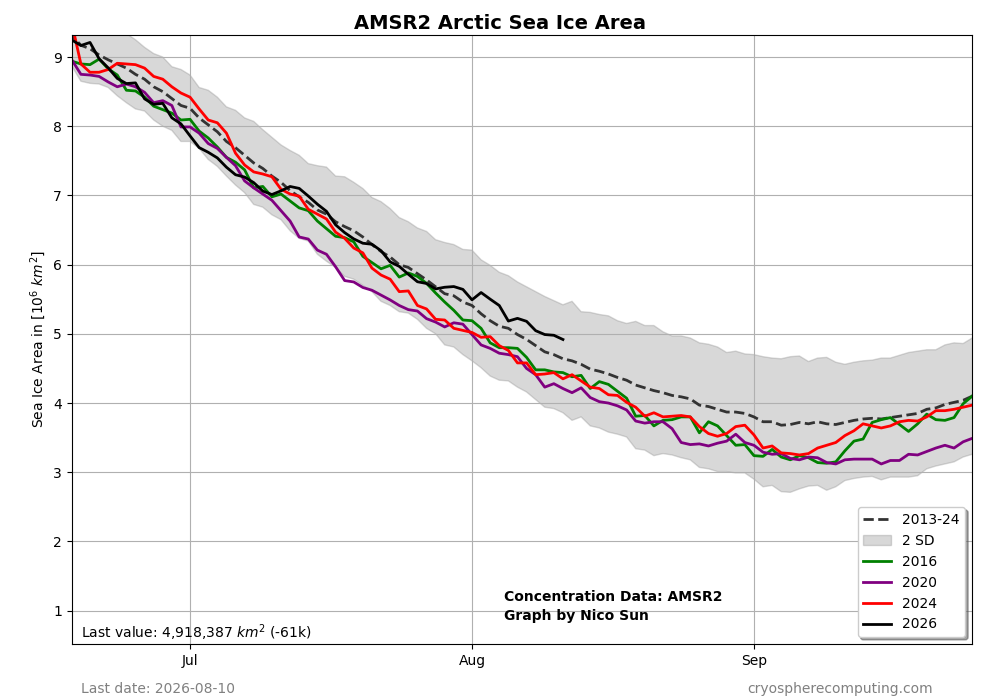
Artic ice area continues to do relatively well!
-
.thumb.gif.f92b16c631a1d15d405ed77b33f0710d.gif)
Augdewst 2026: Summer's Last Stand
Torch Tiger replied to Prismshine Productions's topic in New England
18z gfs looks good Sunday. How soon will that turn congrats nyc ? N/M it already is congrats nyc -
Interesting. I would think a SVR Warning with 100 mph winds would be the message across, but maybe social science says otherwise.
-

2026 Spring/Summer Mountain Thread
franklin NCwx replied to Buckethead's topic in Southeastern States
Rained here again too -

2026-2027 Record-breaking El Nino
mitchnick replied to Stormchaserchuck1's topic in Weather Forecasting and Discussion
It's continued in August. I've had >3" in the past 8 days. -

Augdewst 2026: Summer's Last Stand
Damage In Tolland replied to Prismshine Productions's topic in New England
Yes. At this point he literally expects to get hit everyday . Actually kind of cocky about it . But he also thinks he lives in snow banding capital of New England n coastals . So we take with grain of salt @Gibbsfreeenergy -

Augdewst 2026: Summer's Last Stand
dendrite replied to Prismshine Productions's topic in New England
Have you talked to Shabbs? Does he have any saltwater crocs in his yard yet? -
Augdewst 2026: Summer's Last Stand
Damage In Tolland replied to Prismshine Productions's topic in New England
Hi res crushes them , S CT coast and them alone again tomorrow night -

Augdewst 2026: Summer's Last Stand
Cyclone-68 replied to Prismshine Productions's topic in New England
In other news the sky is blue and water is wet -
That far northwest corner of Indiana has been getting absolutely smoked lately. Hoosier oughta be loving that if he still lives there.
-

Spring/Summer 2026 Pattern Discussion Thread
Carvers Gap replied to Carvers Gap's topic in Tennessee Valley
They are setting watch boxes well out in front of this next line. Southwest VA bout to get hammered. I almost have a severe thunderstorm warning over MBY and the storms are just now exiting KY. -
Oh thank goodness
-
Augdewst 2026: Summer's Last Stand
Damage In Tolland replied to Prismshine Productions's topic in New England
Looks like they get hit again tomorrow night. At this point it’s just laughable -
Uggg...nothing but junk in Fuquay-Varina...everything went poof! Again.
-
I get itchy bumps and found a few around my ankles the last couple days. I’m not even sure where they came from, though I was standing outside talking to people on a few occasions which is sometimes all it takes. That said, there’s been worse seasons imo. Totally opposite of the Vegas area where you can leave doors open and hardly get any bugs flying in.
-
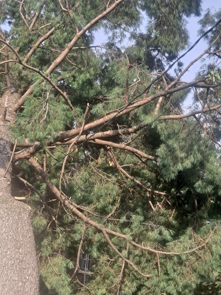
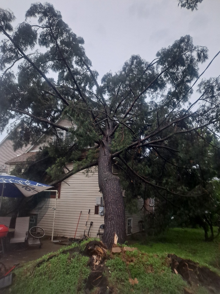
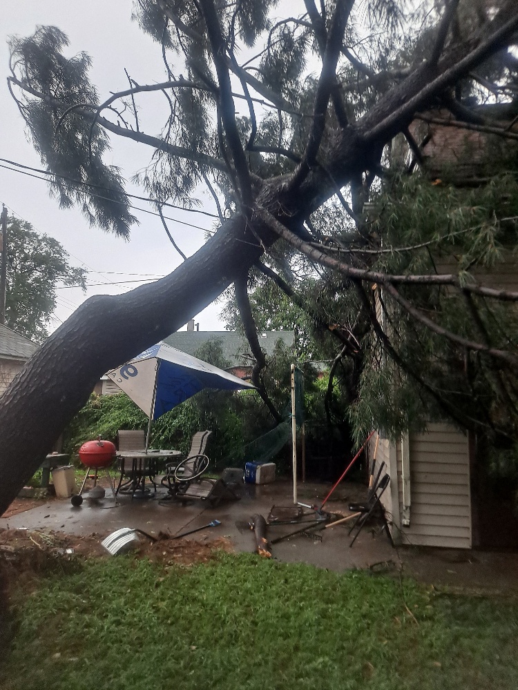
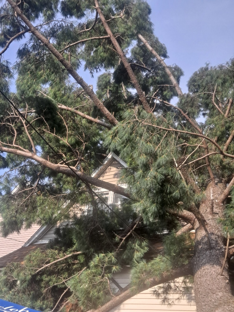
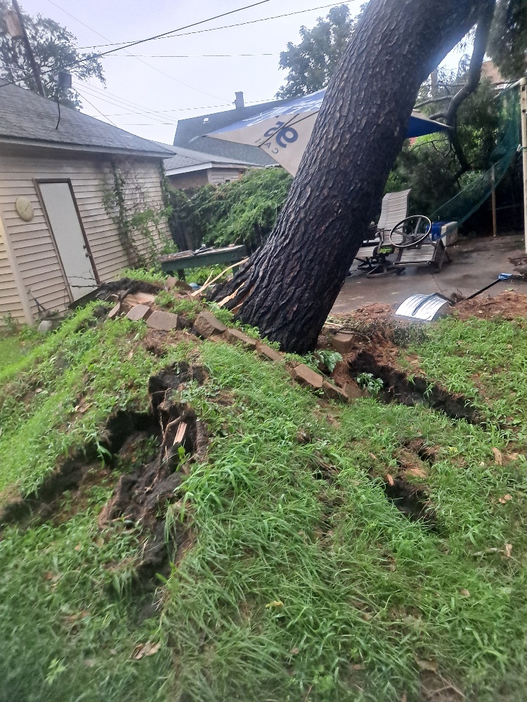
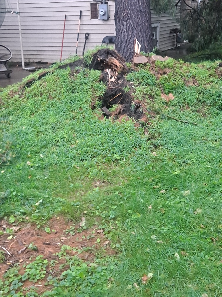
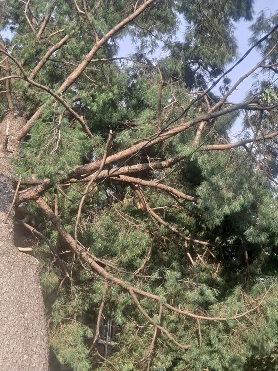
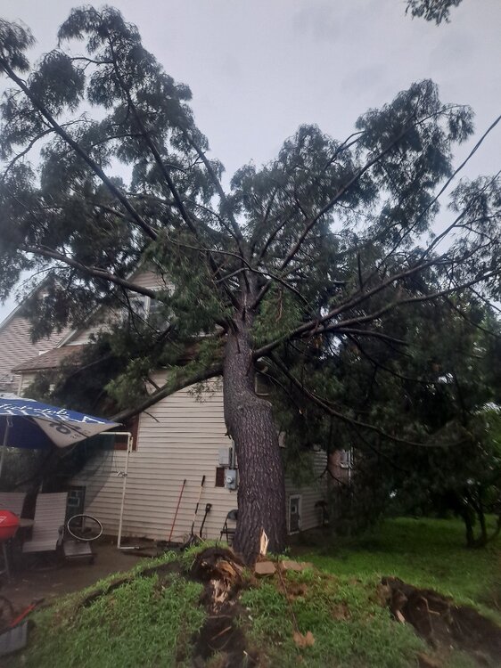
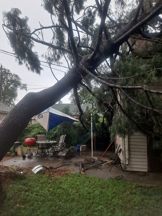
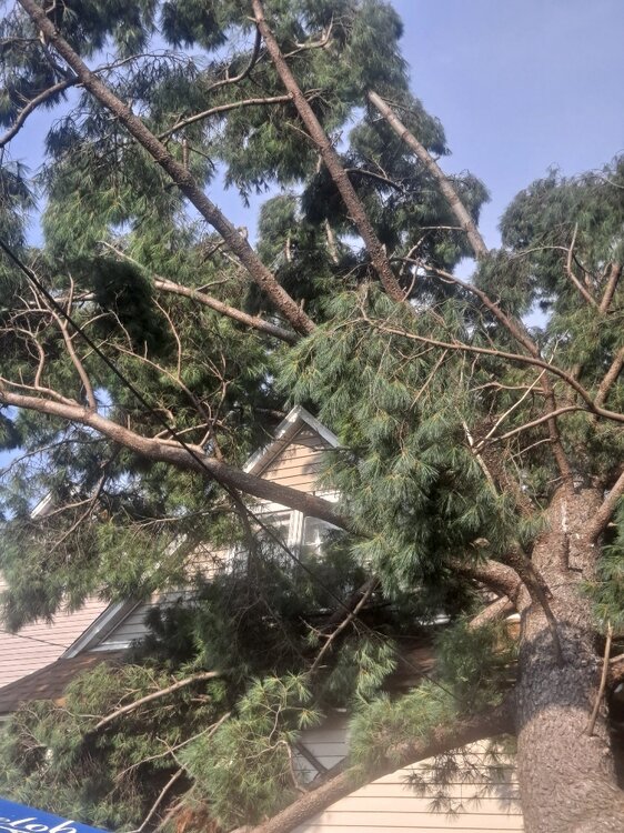
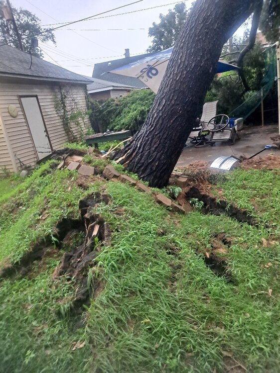
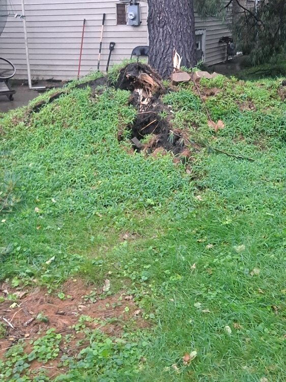
Storm hit hard here in NWI. This tree fell in my backyard in EC. Miracle though. Didn't take out the power line. The line runs through the silver pole. Lots of reports of catastrophic damage in Highland, Griffith and Gary.
-
RDU precip shield holds again. Guess it was just under repair during July
-
Spring/Summer 2026 Pattern Discussion Thread
1234snow replied to Carvers Gap's topic in Tennessee Valley
Those were some crazy storms in Kingsport area. I got back home across state line and not a drop. A huge severe thunderstorm warning area was just issued though for almost all of SWVA. Area of rotation with tornado warning for Pikeville. -

Augdewst 2026: Summer's Last Stand
VivaManchVegas replied to Prismshine Productions's topic in New England
I only put one fertilizer on my lawn and that is the early season scotts for crab grass.. It works. I put it in the front yard, little grab grass, only on the edges of the drive way. Back yard with the well, none and its grab grass everywhere. Edit: my front lawn is 60% grass, 30% clover and 10 percent others (some sort of ivy). I am fine with that. The clover is very hardy. Only down side is it attracts rabbit. -

Spring/Summer 2026 Pattern Discussion Thread
nrgjeff replied to Carvers Gap's topic in Tennessee Valley
I could see that in Denver or Cheyenne in Sept. Meanwhile for Tennessee all I see through next week is teaser fronts on MCS outflow, quickly retreating north to the Ohio River or farther. If the ECMWF is right we get a Tuesday tease next week. Then, back to the blast furnace! -
Augdewst 2026: Summer's Last Stand
dendrite replied to Prismshine Productions's topic in New England
SW CT is just a body of water now…basically the Everglades. Wet begetting wet. -
Parts of the region could see a shower or thundershower this evening and tonight. Above normal temperatures will persist through tomorrow or Thursday. Highs will generally top out in the middle and upper 80s. Cooler air will move into the region to close of the week. As a result, Friday through Sunday could see highs mainly in the upper lower 80s. The ENSO Region 1+2 anomaly was +4.1°C and the Region 3.4 anomaly was +2.6°C for the week centered around August 6. For the past six weeks, the ENSO Region 1+2 anomaly has averaged +3.72°C and the ENSO Region 3.4 anomaly has averaged +2.15°C. The ongoing strong El Niño, which has reached super El Niño threshold, will continue to strengthen through the summer. The SOI was +6.86 today. The preliminary Arctic Oscillation (AO) was -0.346 today. Based on sensitivity analysis applied to the latest guidance, there is an implied near 53% probability that New York City will have a warmer than normal August (1991-2020 normal). August will likely finish with a mean temperature near 76.3° (0.2° above normal). Supplemental Information: The projected mean would be 1.0° above the 1981-2010 normal monthly value.