All Activity
- Past hour
-
i'd be really cautious buying into the big talk regarding tomorrow, until morning that is. there's a subtle wave in the sioux falls region this evening, which will translate east overnight. it appears that we should see t'storm development ahead of this feature, along the diffuse boundary across iowa and n illinois tonight. if this activity becomes too significant or lingers too deep into the morning, the big mega derecho hype will fail hard.
-

Central PA Summer 2026 Discussion/Obs Thread
Blizzard of 93 replied to Voyager's topic in Upstate New York/Pennsylvania
That’s wonderful! I agree, it’s certainly in our top 5 as well. -

Central PA Summer 2026 Discussion/Obs Thread
Itstrainingtime replied to Voyager's topic in Upstate New York/Pennsylvania
0.21" of rain today in Maytown. Thought it would be more. Still doing well in August, however. -
Central PA Summer 2026 Discussion/Obs Thread
Itstrainingtime replied to Voyager's topic in Upstate New York/Pennsylvania
Hey now! My wife and I celebrated our 25th anniversary on that very spot several years ago. We both agreed that Horseshoe Bay was one of the top 5 places we've ever been to. (I'm still partial to Mammoth Lakes ) -
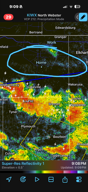
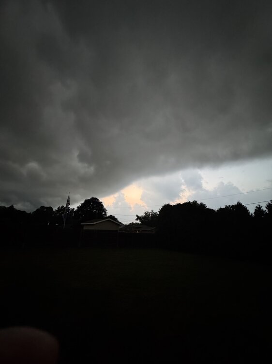
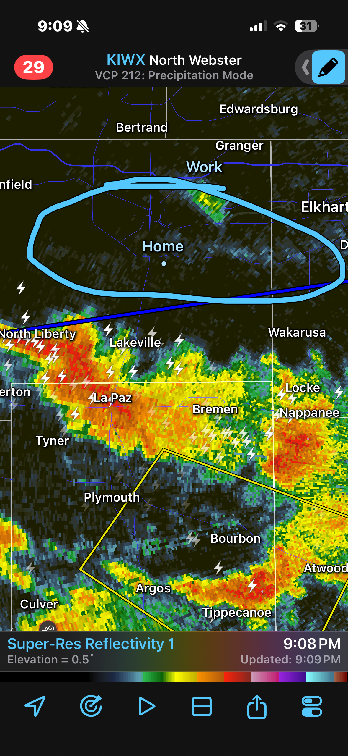
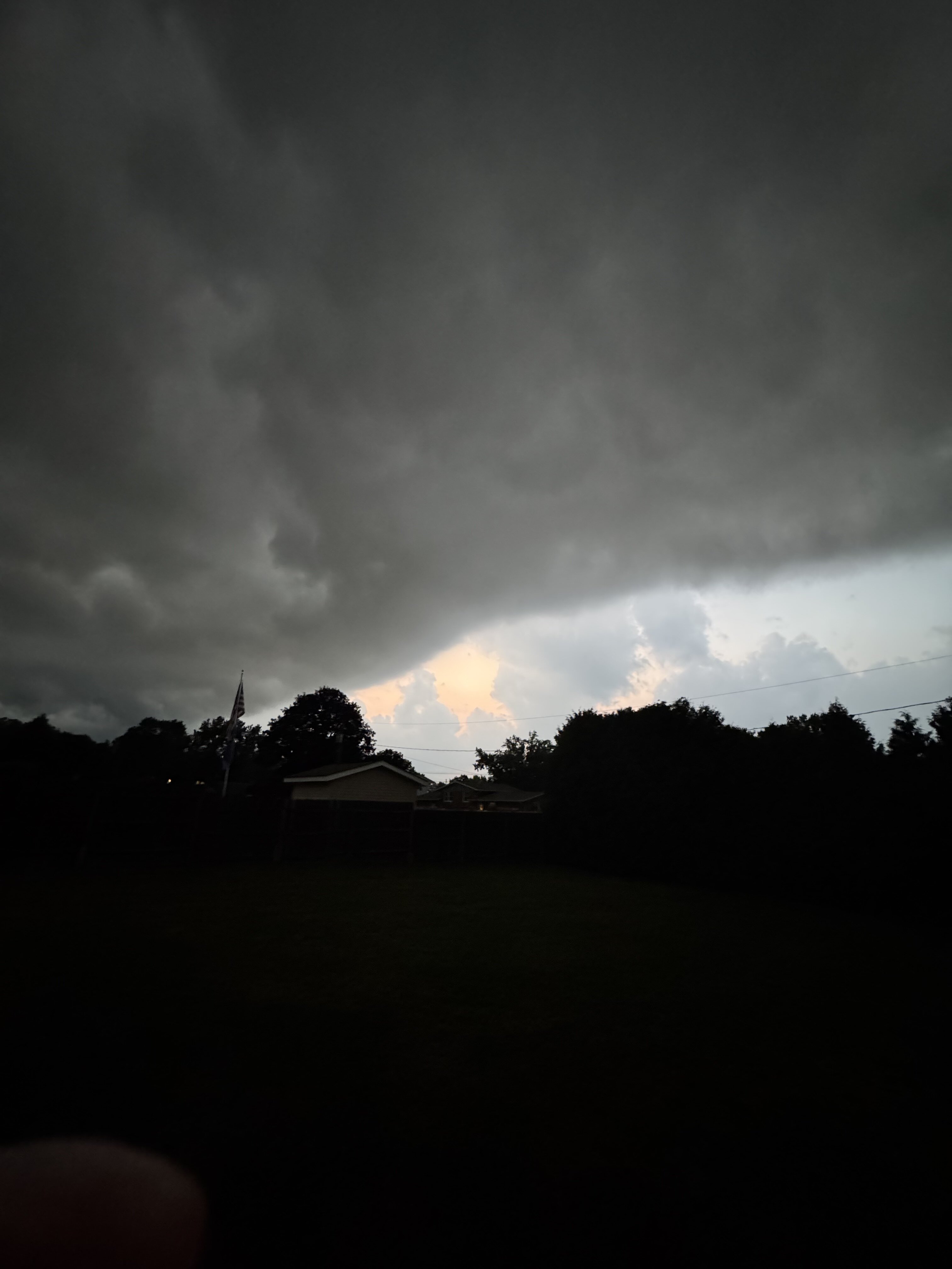
Really cool seeing the outflow boundary from the storms to the south of me on radar and in person. side note: it feels so much nicer out here now lol
-
I'll believe it when I see it after the last two monsoon pushes giving me basically nothing.
-

Augdewst 2026: Summer's Last Stand
powderfreak replied to Prismshine Productions's topic in New England
You learn to look for the signals in the radar, ha. Years of comparing ground truth to the various layers of echoes. 0.5, 1.5, 2.5, 3.5 degrees all tell a story, but it’s not as much fun as having a great low level scan. It’s part of the mystic though… not as easy to just glance and assume what’s going on at ground level. -
I always thought KMPV would have been a great spot for a radar installation that covered east of the spine and northern NH.
-
That's got 72/73 written all over.
-
already a radar estimated 1-1.25" along an axis just south of the city, in about an hour. feel like we'll start to FFWs issued in another hour or so
-

Augdewst 2026: Summer's Last Stand
WxWatcher007 replied to Prismshine Productions's topic in New England
Glad it works for someone Some pretty good pop ups over WXW2. Great year for storms up that way. -
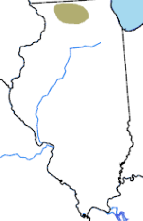
We’re stuck in this devilish parched screw hole. rfd had 3” rain in July, but 20 miles northeast I have less than .5” from 7/1 to present. Every chance just turns into sprinkles at best. The hydrologic and flood products hitting the wire out of LOT here and there are just a gut punch.
-
Look out Fort Wayne. Storms are lined up like a train.
-

Mountain West Discussion
mayjawintastawm replied to mayjawintastawm's topic in Central/Western States
I think I'd believe it more if the QPF were based more on large-scale systems than reliant on atmospheric moisture + localized lift. -
SPC has day 2 marginal slight risk out for tomorrow for east TN Cumberland plateau for 5-15 percent hail https://www.spc.noaa.gov/products/outlook/day2otlk.html SPC also has day 3 marginal risk out with 5 percent probabilistic for northern middle TN and majority east TN it’s slanted a little bit https://www.spc.noaa.gov/products/outlook/day3otlk.html .
-
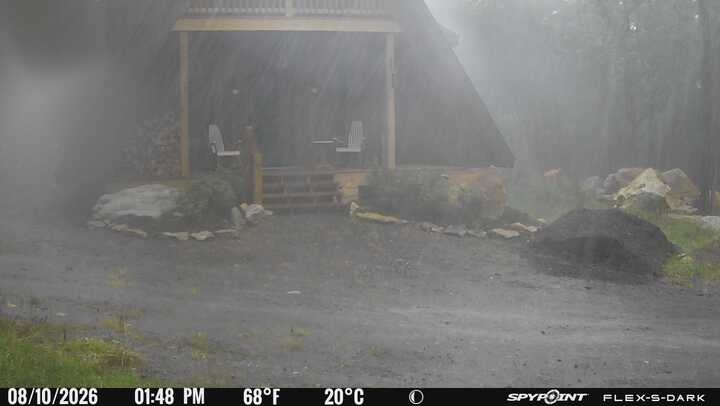
I had 0.73" down in Calvert from the event. No major wind damage. Up at the cabin, holy cow ..this pic was during the tornado warning. You can see it's raining so hard it's literally spraying off the roof! It almost looks more like snow.
-
Central PA Summer 2026 Discussion/Obs Thread
Blizzard of 93 replied to Voyager's topic in Upstate New York/Pennsylvania
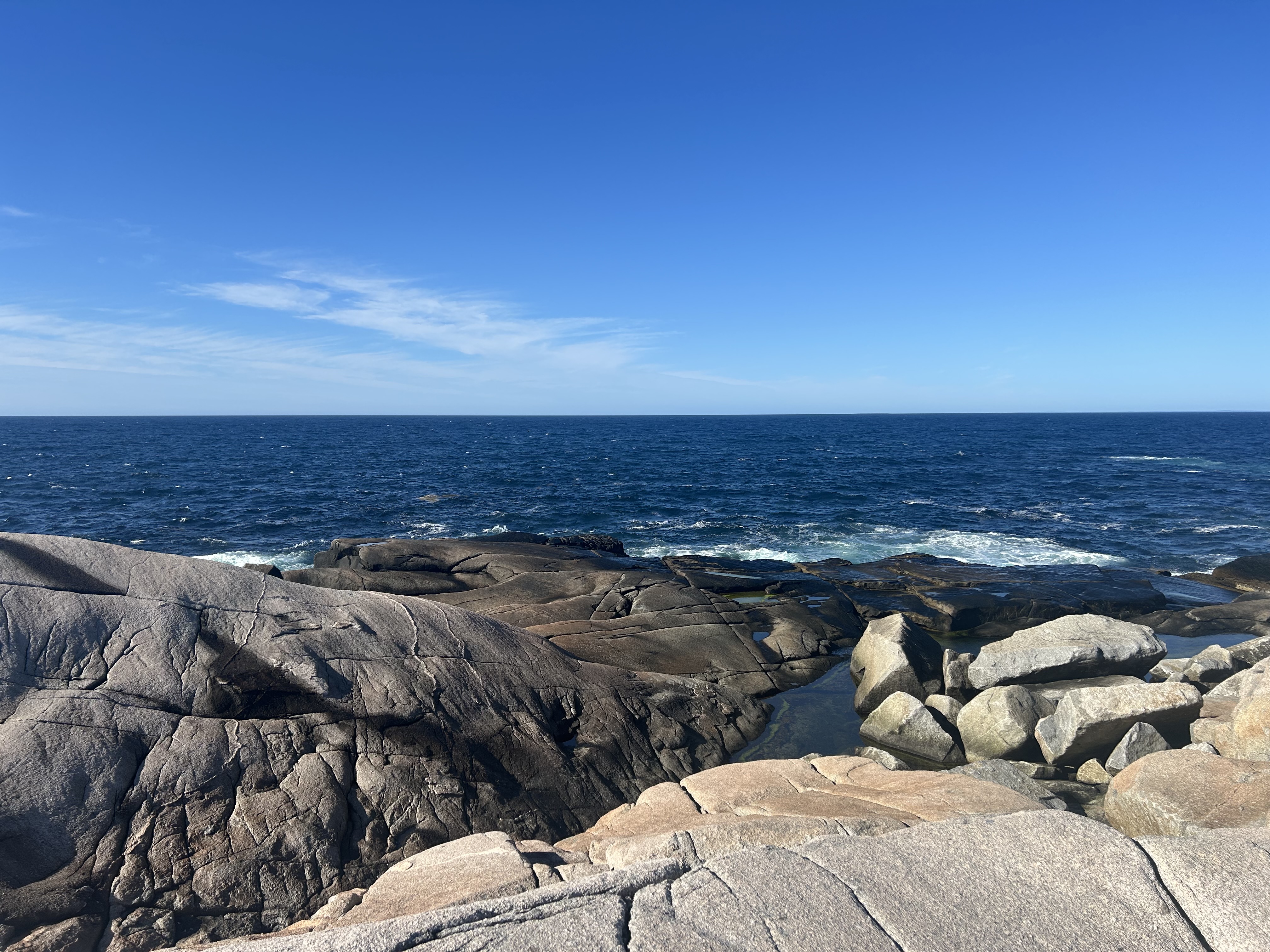
Peggy’s Cove in Nova Scotia was also very beautiful. i would love to see it someday when a blizzard is underway.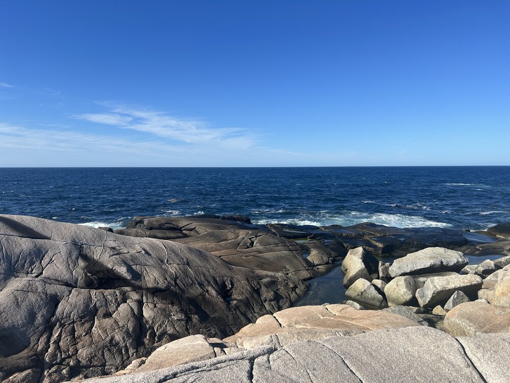
-
What was the point of that watch. Canceled after an hour lmao.
-
Warned storm was pretty intense in N VT. Lots of lightening and the wind was legit. Could hear trees cracking and then a pop. No power for now. Guess for wind would be 50+ mph.
-
About 0.7” at home with the MCS. 2.5-2.6” for August so far
-

Augdewst 2026: Summer's Last Stand
Damage In Tolland replied to Prismshine Productions's topic in New England
How’d that H cubed run do with the storms sweeping thru S NH and MA? Lol - Today
-
Central PA Summer 2026 Discussion/Obs Thread
Blizzard of 93 replied to Voyager's topic in Upstate New York/Pennsylvania
We had a wonderful time on our cruise last week to Bermuda & Nova Scotia. Horseshoe Bay beach in Bermuda was absolutely stunning.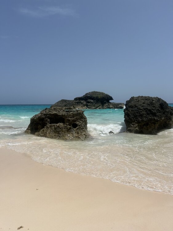
-
The model trends are looking good for Thursday thru the weekend. Not sure that I trust the QPF forecast fully, but it is becoming likely that many of us get nice totals.
-

Augdewst 2026: Summer's Last Stand
vortex95 replied to Prismshine Productions's topic in New England
Yes, I did know about Mt Mansfield, but I was thinking some towers were grandfathered in when new laws were passed? Also, when the WSR-88Ds were being installed, you had push back in some areas thinking these radars were a radiation hazard. I am not kidding! When the WSR-88D were installed, the NWS planned things right. That's why OKX is in over cntrl LI, b/c the former WSR-57 was right in NYC, and the ground clutter was horrendous! Out West, the put a number of radars on top of mountains b/c otherwise they would have been worse than even KCXX for coverage! So I do not think it was the NWS being lazy at all here. They took care to try to place all radars within 50 mi of the largest city in the CWAs for low-level mesocyclone detection. Again, this was the biggest selling point and upgrade from the former radars, so not having 0.5 BREF and VEL is a big deal. -

2026 Mid-Atlantic Severe Storm General Discussion
SilentTalkie replied to Kmlwx's topic in Mid Atlantic
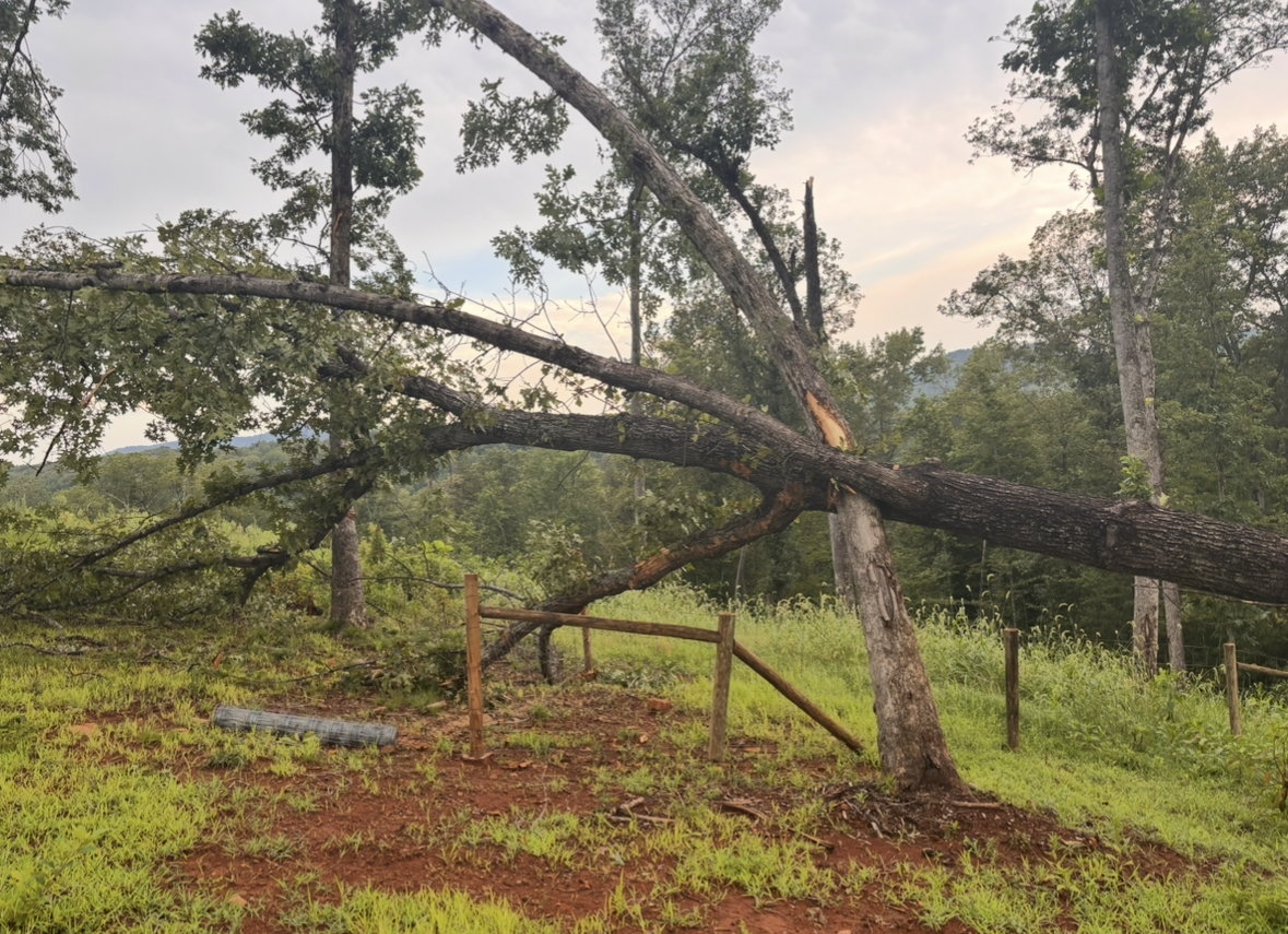
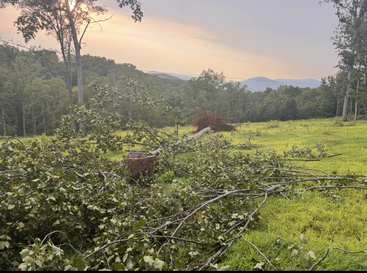
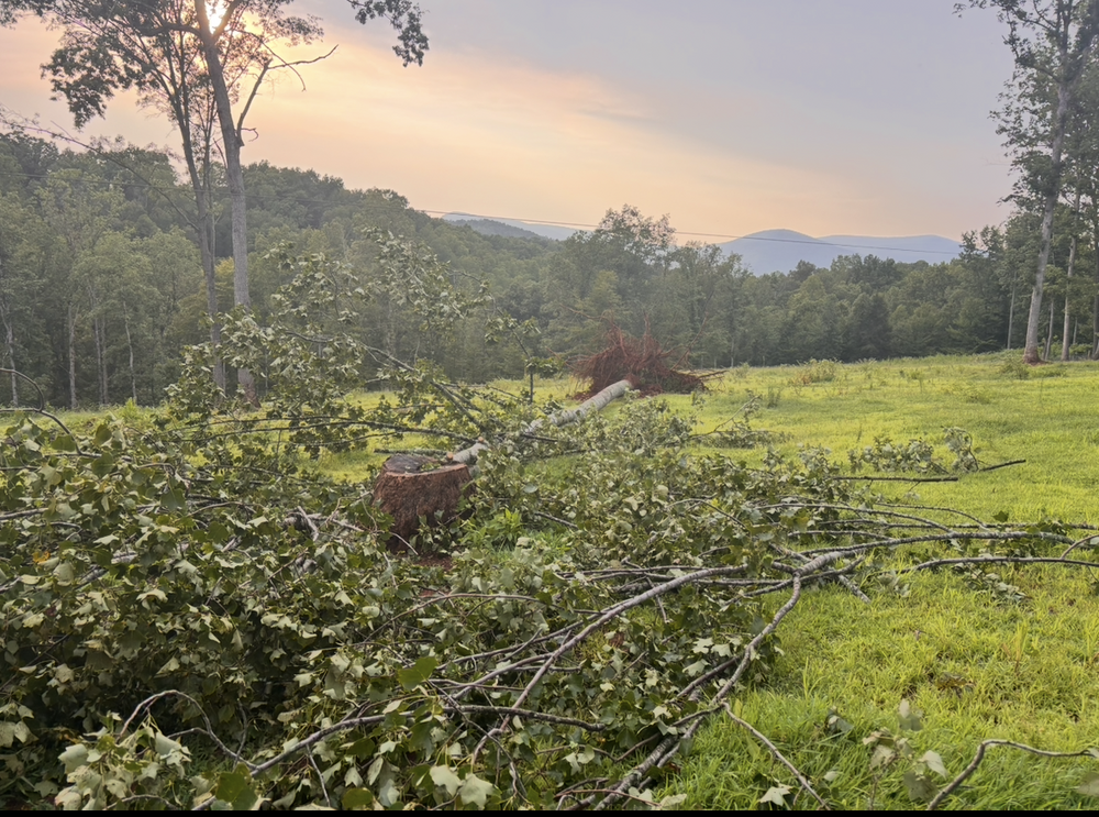
Lost 4 trees that I’ve found so far. Power is still out.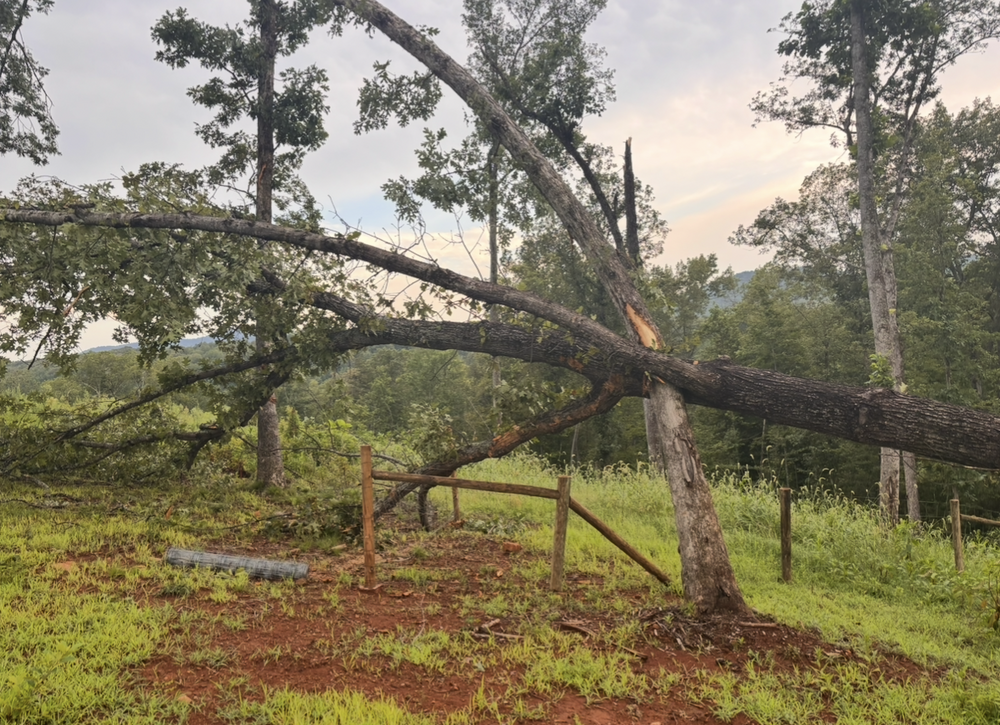
- 1,848 replies
-
- 2
-

-
- severe
- thunderstorms
- (and 7 more)






.thumb.jpg.ad3a2e31d30aff035044689b311a0540.jpg)