All Activity
- Past hour
-

2026 Severe Wx - General Thread
HillsdaleMIWeather replied to largetornado's topic in Lakes/Ohio Valley
Union City in Branch County just got hit hard, this lone supercell is a prolific tornado maker. -
I’m just kidding. Nice pic.
-
Kept ice on the trees all day at 30-32. Onto a week of 70’s!
-
We melted a bit. Ice damns will not be an issue anymore. So there is that.
-
Insanity, wild footage and its from MI on a 2% risk Wedge otg.
-
 VivaManchVegas changed their profile photo
 -
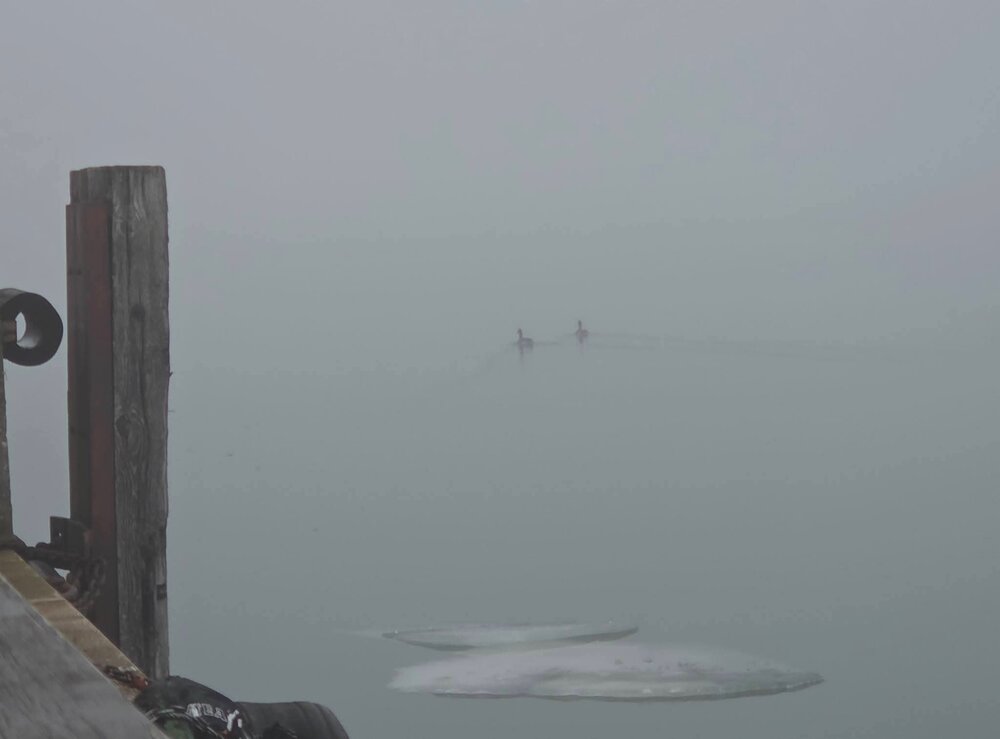
I couldn’t get very close and just had my phone. I had never seen them on the ice before. They were there again today. Pictures were even worse
-
RI and SE MA jacks again. Atmospheric memory
-

2025-2026 ENSO
michsnowfreak replied to 40/70 Benchmark's topic in Weather Forecasting and Discussion
I wouldnt necessarily call it a transient "cool down". Transient yes, but there look to be some significant cold departures during it. -
well into April before those go...
-
Winter 2025-26 Medium/Long Range Discussion
michsnowfreak replied to michsnowfreak's topic in Lakes/Ohio Valley
March 15-17 timeframe is being picked up by all ensembles for a wintry threat. -
During the past 50 years those values have resulted in heavy snowfall winters............................
-
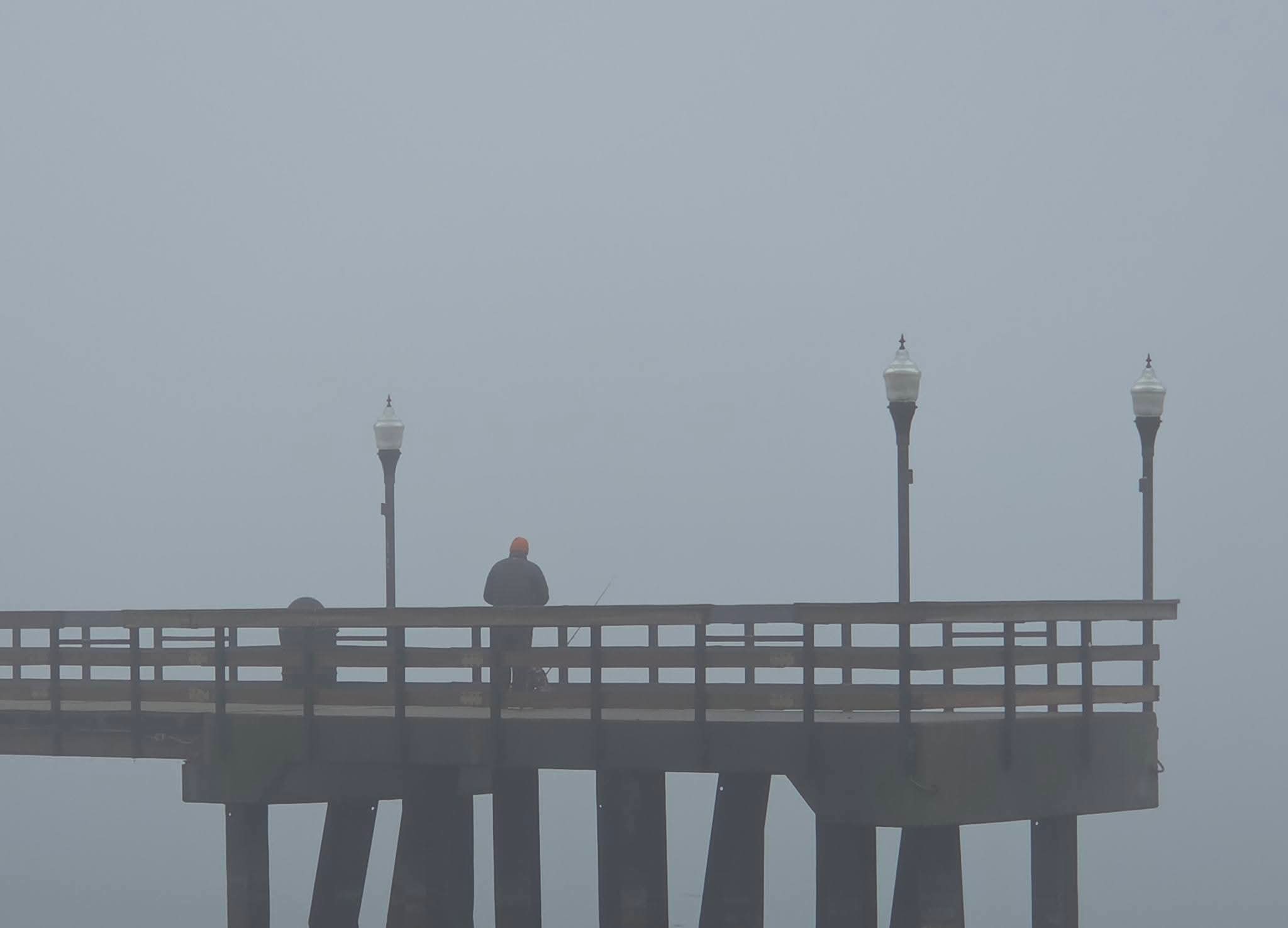
Murky fog here

-
https://x.com/StormCaptures/status/2030034387295719772/mediaViewer?currentTweet=2030034387295719772¤tTweetUser=StormCaptures
-
Seems could be interesting out west tomorrow afternoon into night? Afternoon discussion from LWX We`re expecting two rounds of storms tomorrow. The first round is expected to form within a surface trough just to the east of the Alleghenies during the mid-late afternoon hours. Model soundings show a fair amount of dry air in place aloft, and large scale forcing for ascent won`t be overly strong, so areal coverage with this first round of storms is only expected to be isolated to scattered in nature. If storms do become well established, the background environment will have enough instability (around 1000 J/kg of MLCAPE) and shear (around 40 knots in the 0-6 km layer) to promote updraft rotation. Isolated instances of damaging winds or hail may be possible with these storms as they move eastward from the Potomac Highlands toward the I-81 corridor and then the Blue Ridge/Catoctins during the mid-late afternoon hours. Conditions will likely remain dry to the east of US-15 during the daylight hours. A second round of pre-existing storms will approach from the Ohio Valley, reaching the Allegheny Front around sunset. This round of storms could be well organized into a squall line, and may potentially be quite intense. With the loss of daytime heating, the trend will likely be downward with the strength of this activity as it moves into our area, but damaging winds may still be possible, especially along and west of the Allegheny Front. Large scale forcing for ascent may enable these storms to hold together in a weakened form as they move eastward across the forecast area during the first half of the night. As of now, SPC has Garrett County in Slight Risk for severe thunderstorms, with locations further east to about US-15 in a Marginal Risk.
-
Fyp
-
Is that an ineedsnow ensemble map
-
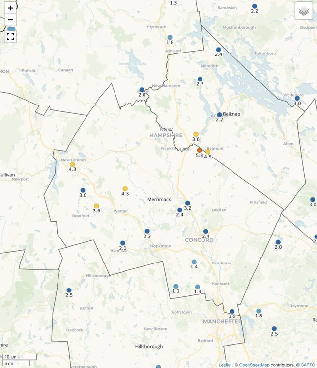
Mark was probably 1-2” less than here.

-
I wonder if we break the 14-15 streak then if we go till Monday?
-
He was away too…so he didn’t see it either.
-
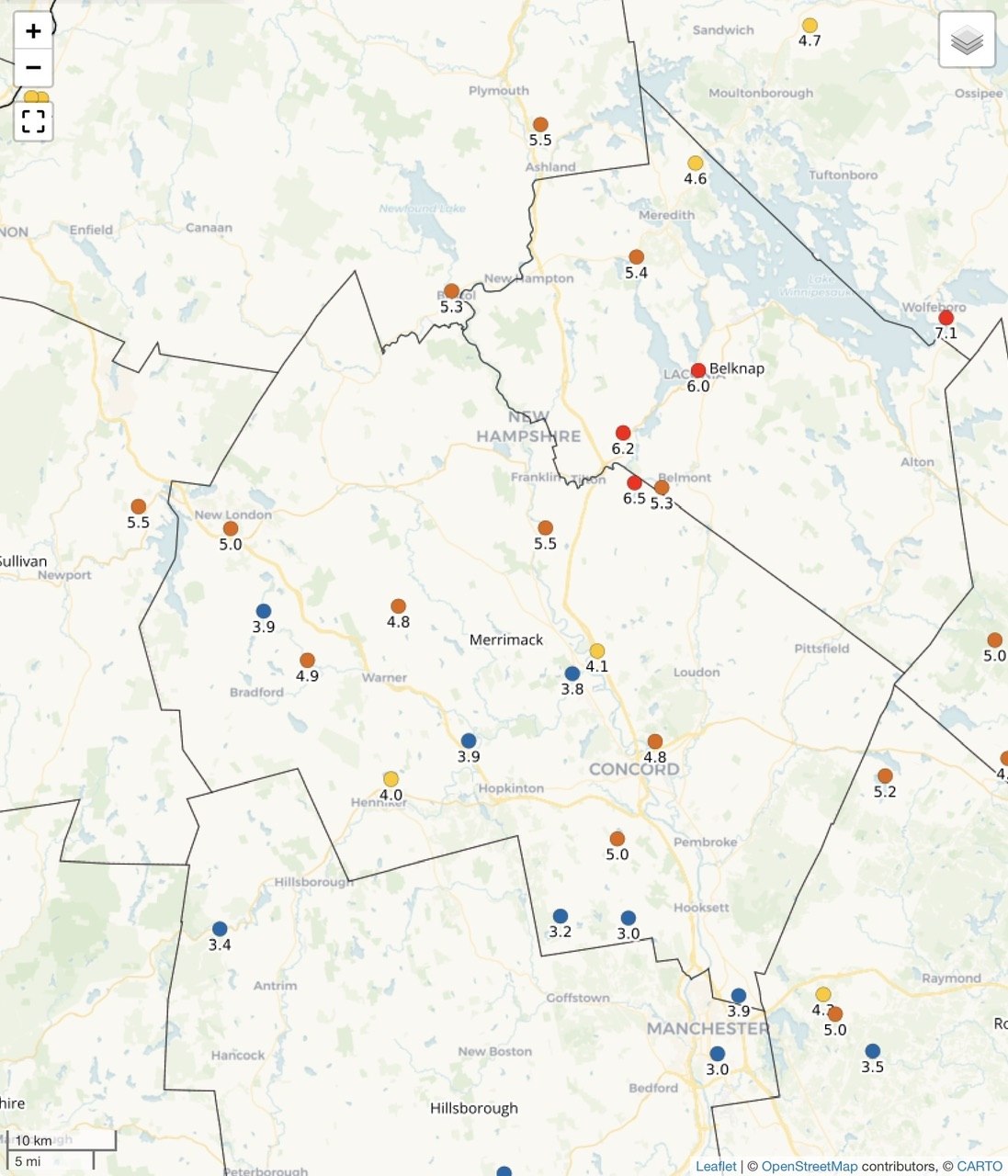
6.0” and 5.3” here.
-
It's turned wetter as of late-I Wouldn't rule out a big storm-question will be precip type this time of yr
-
60 with the sun poking out after the storms rolled out. Feels good fam.
-
Yep
-
I’ve been away for a week. what did you get in each event this week?
-
Had no idea our guy was torching like that